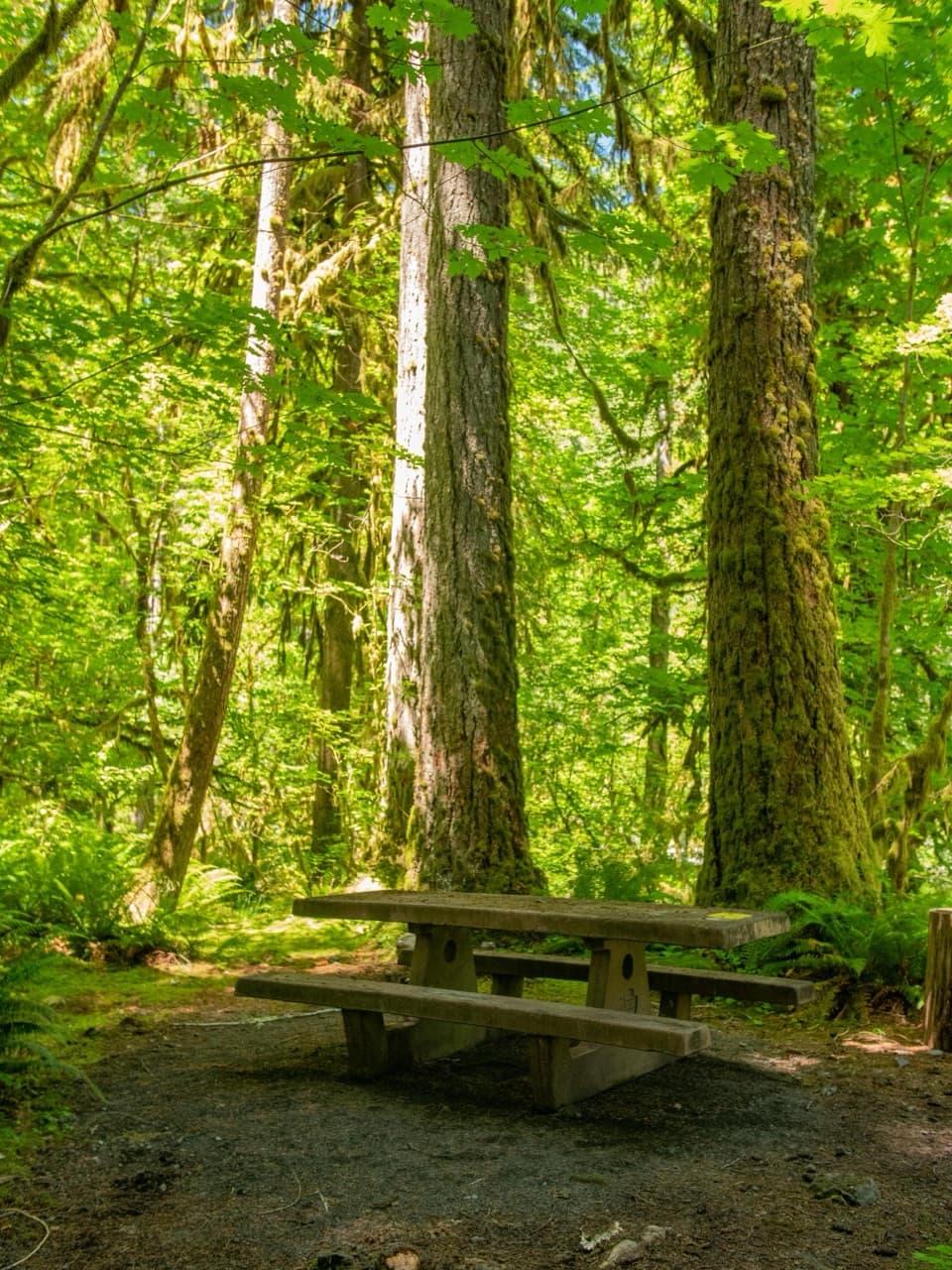
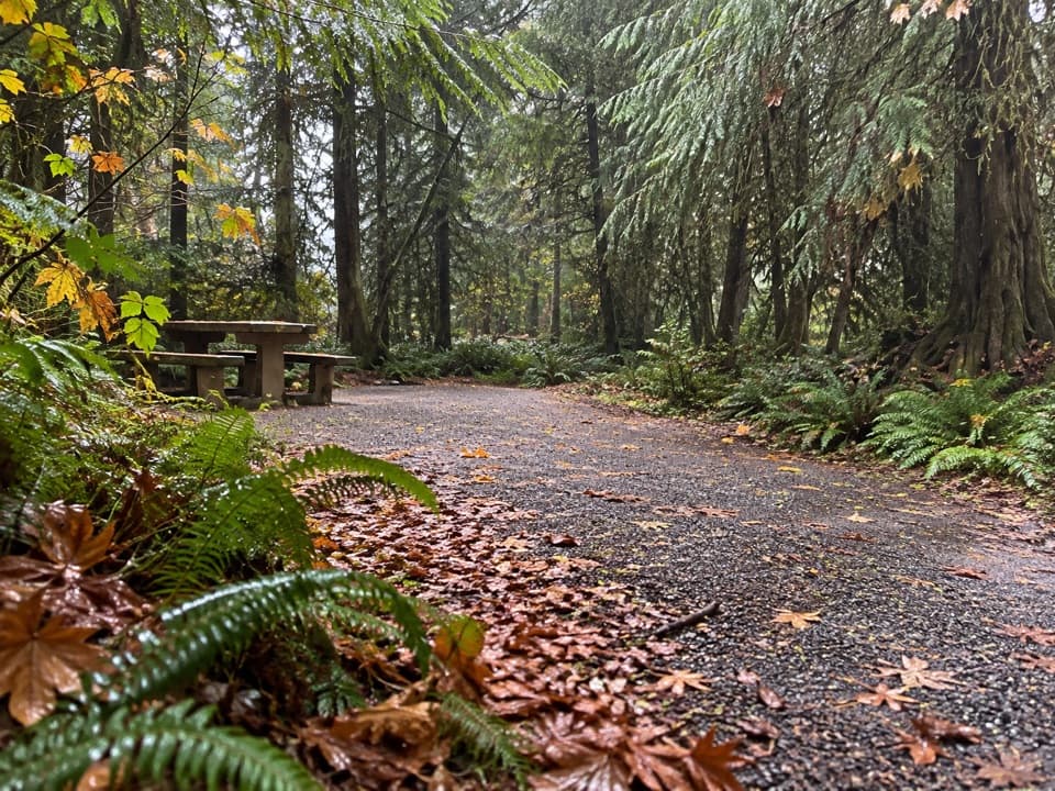
Parking
Start at Graves Creek Trailhead. A restroom and information facilities are listed there; parking capacity and overflow details are not published.

Olympic National Park, WA
A rugged climb from Graves Creek forest to a remote alpine lake
Overview
Map & elevation
Plan your hike

The highest, rockiest slopes around here are a summer buffet for grizzly bears.
Olympic Tour Guide
Parkwolf is a GPS audio tour guide for Olympic National Park. As you drive, it chimes in with what’s ahead: hidden gems, upcoming stops, history, geology, and wildlife, right through your car’s speakers.
See the Olympic audio tourRecorded for this trailhead
Graves Creek: Pony Bridge or Enchanted Valley“You're nearing Graves Creek Trailhead, where the route to Enchanted Valley begins.”
Plays as you drive up to this trailhead in the Parkwolf Olympic Tour Guide.
More stories near here in the app
“Fantastic app with many points of information… It’s great to just turn on while you’re driving and it gives you an audio tour of the national Park. We love it!!!!”


Trail guide
Graves Creek Trail to Lake Sundown is a 14.6-mile out-and-back from Graves Creek Trailhead: the lake is 7.3 miles one way, with about 3,918 feet of gross climbing. The trail starts across a high bridge over Graves Creek, follows the creek through mossy old-growth forest, then climbs into rocky, brushy subalpine country and finishes at Lake Sundown's gravel shore. This is a hard wilderness hike; budget roughly 13 to 14 hours for the full return. If that would make the day a race, plan an overnight instead.
The lower trail winds through forest and crosses several creeks. Around 3.5 miles in, Success Creek is a ford, not a bridge; high water can make it difficult or unsafe. Beyond it, the tread gets steeper, rockier and brushier, and the upper route is slow to follow. Near Riley Camp, the trail can seem to stop in a meadow: cross to the far side and look for its flagged continuation.
The lake sits below green meadow slopes, with a gravel shoreline at the end of the climb. Snow can linger into early summer. Exposed slopes near Lake Sundown and Sundown Pass can require an ice axe and the skill to use it. The return follows the same corridor for another 7.3 miles, so leave enough time and energy for the descent and crossings.
Backpacking permits are required year-round in Olympic National Park, and a campsite is listed at Sundown Lake. Carry a bear canister, treat natural water, and do not light fires above 3,500 feet. Campsites have no toilets. Dogs are not permitted on this trail or in the park wilderness. Graves Creek Trailhead has a restroom and information facilities; parking capacity and overflow details are not published.
Wildlife
 710 sightingsOlympic MarmotMost seen around 11 AMSighting map
 30 sightingsHumpback WhaleMost seen around 6 PMSighting map
 42 sightingsGrey WhaleMost seen around noonSighting map
 23 sightingsMountain LionMost seen around 8 PMSighting map
 71 sightingsMountain GoatMost seen around 7 AMSighting map
 306 sightingsBald EagleMost seen around 11 AMSighting map
Sighting maps show where each species has been reported across Olympic. Wildlife moves, so no sighting is guaranteed.
Keep exploring
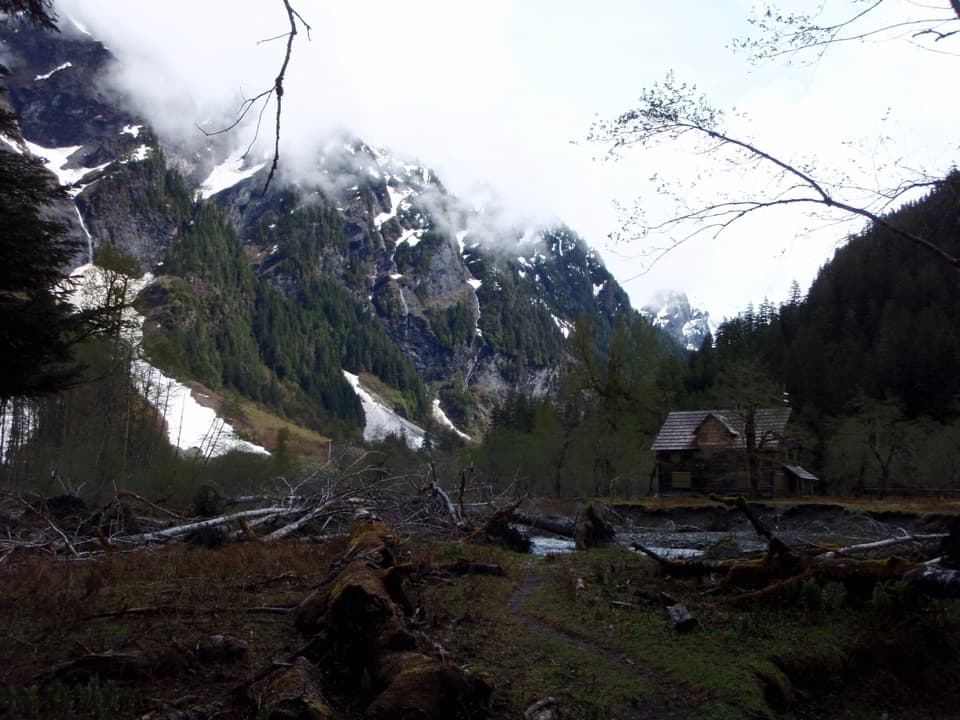 ChallengingEast Fork Quinault River Trail to Enchanted Valley26 mi · 16 hr · 0.1 mi awayA multi-day rainforest trek ends at a chalet beneath steep valley walls.
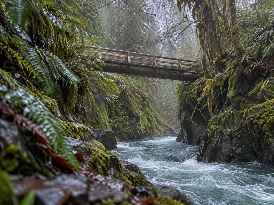 ModeratePony Bridge Trail5 mi · 3 hr · 0.2 mi awayA forested gorge with a steep approach and timber bridge.
 EasyCascading Terraces Trail0.5 mi · 30 min · 0.5 mi awayA short rainforest walk to a Quinault River meadow.
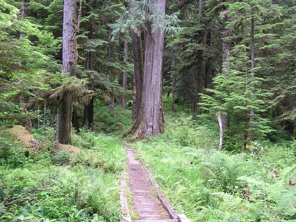 ChallengingNorth Fork Quinault River Trail33 mi · 1 day · 3.7 mi awayOld-growth river forest, rugged fords, and meadows at Low Divide
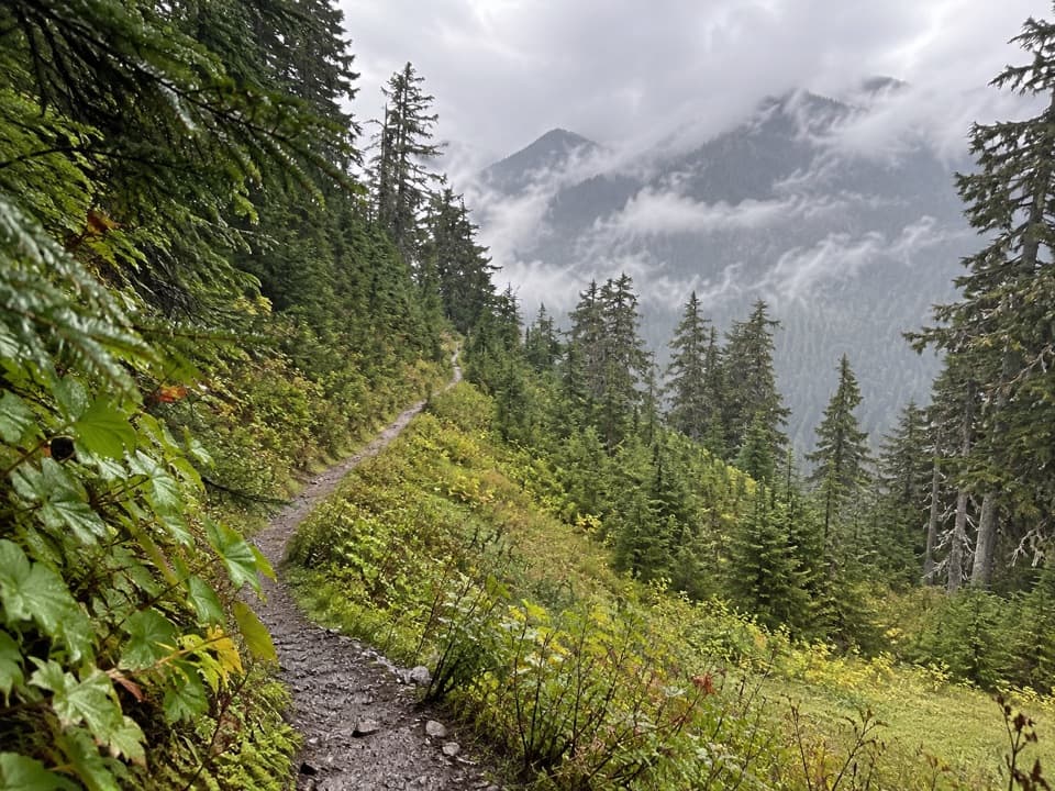 ChallengingSix Ridge Primitive Trail10.6 mi · 10 hr · 3.7 mi awayA rugged ridge crossing with quiet meadows and long climbs.
 ChallengingThree Lakes Trail via Big Creek13.8 mi · 9 hr · 4.1 mi awayA long forest climb to a mossy subalpine lake basin
 EasyIrely Lake Trail2.2 mi · 1.8 hr · 4.1 mi awayA mossy rainforest walk to a small lake with Mount Hoquiam views.
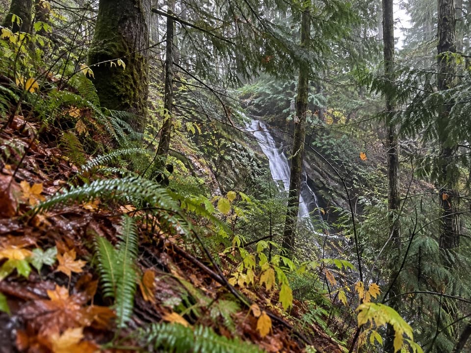 ModerateWynoochee Pass Trail5.2 mi · 4.3 hr · 4.4 mi awayA rough forest climb to two small ponds at the pass.
Parkwolf’s Olympic ranking

The audio tour guide for the drive, plus offline maps, trails, and wildlife heatmaps for when the signal drops.