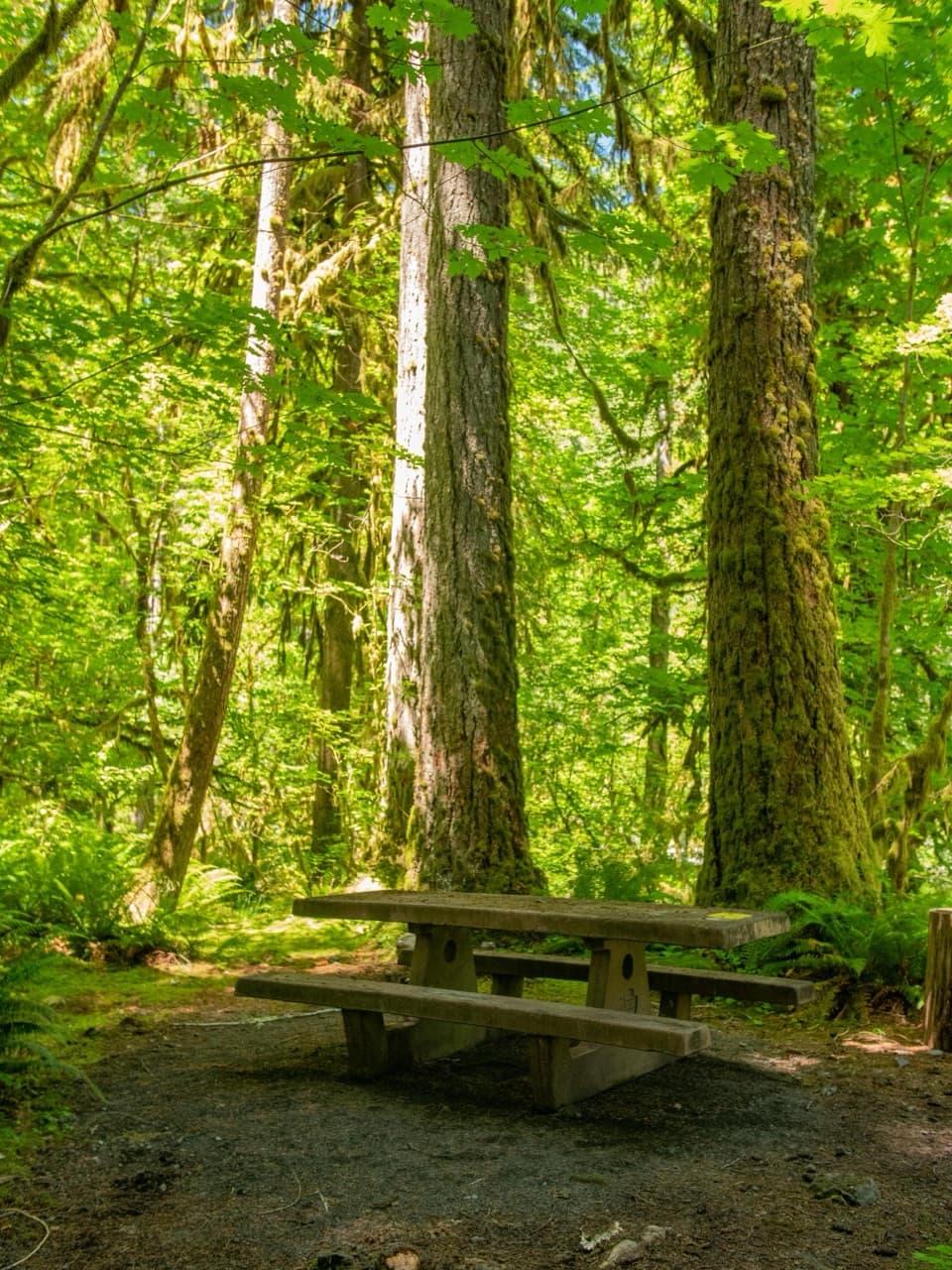
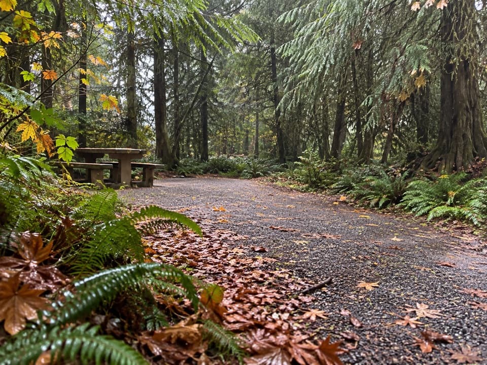
Parking
Park at Graves Creek Trailhead at the end of South Shore Road. Cross the high Graves Creek bridge to start the trail.
#11 of 148 trails in Olympic
Olympic National Park, WA
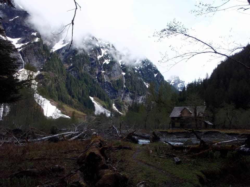
A multi-day rainforest trek ends at a chalet beneath steep valley walls.
Overview
Map & elevation
Plan your hike

The highest, rockiest slopes around here are a summer buffet for grizzly bears.
Olympic Tour Guide
Parkwolf is a GPS audio tour guide for Olympic National Park. As you drive, it chimes in with what’s ahead: hidden gems, upcoming stops, history, geology, and wildlife, right through your car’s speakers.
See the Olympic audio tourRecorded for this trailhead
Graves Creek: Pony Bridge or Enchanted Valley“You're nearing Graves Creek Trailhead, where the route to Enchanted Valley begins.”
Plays as you drive up to this trailhead in the Parkwolf Olympic Tour Guide.
More stories near here in the app
“Fantastic app with many points of information… It’s great to just turn on while you’re driving and it gives you an audio tour of the national Park. We love it!!!!”


Trail guide
The East Fork Quinault River Trail from Graves Creek to Enchanted Valley is a 26-mile out-and-back, 13 miles each way, through temperate rainforest to a historic chalet and backcountry camps beneath steep valley walls. Most hikers make it a two- or three-day trip; allow about 16 hours of walking, before long breaks. Choose this when the valley itself is worth carrying a pack for, not when you want a quick waterfall stop. For a shorter taste, turn at Pony Bridge about 2.5 miles in; that makes a five-mile return and skips the long approach to the valley.
From Graves Creek Trailhead, cross the high bridge over Graves Creek and stay on the East Fork route at the early junction with the Graves Creek Trail. The old road grade climbs about 500 feet to a low saddle, then drops steeply to Pony Bridge at roughly 2.5 miles. Three small campsites sit just north of the bridge. The crossing looks into a narrow gorge lined with maidenhair ferns, a worthwhile stop even if Pony Bridge is your turnaround.
Beyond Pony Bridge, the trail climbs above a scenic gorge and returns to river level, repeating that pattern through the forest. Fire Creek's foot-log is about three-quarters of a mile past Pony Bridge. O'Neil Creek Camp is reached by a signed side trail that drops about 100 feet; it has a privy. Farther on, small climbs lead to foot-log bridges at No Name and Pyrites creeks. Pyrites Creek sits in a bigleaf maple grove, with campsites on both sides.
After Pyrites Creek, the climb becomes more gradual as the trail follows the river toward Enchanted Valley. A high bridge crosses the East Fork just before the chalet comes into view and the camp area opens up. Most of the approach stays under old-growth forest, so the first open meadow and the steep walls around the valley feel like a real change after hours beneath the canopy. Waterfalls stripe the slopes, especially in spring and early summer; avalanches also run on those walls in that season.
Quinault Valley residents built the chalet in the early 1930s as a backcountry lodge. It later served as a World War II aircraft warning station and is on the National Register of Historic Places. The East Fork keeps shifting across the valley's loose soils. In 2014, the building was moved 68 feet east after the river came within 18 inches of it and had undercut the building by about eight feet. For a photo, leave room above the chalet for the steep valley wall and waterfalls; a close crop loses the setting that makes this building memorable.
Olympic's old-growth rain forest, wildflower meadows, Roosevelt elk and black bears are part of the route's appeal, though wildlife sightings are never guaranteed. Bears are especially common in Enchanted Valley: stay at least 50 yards away and keep food, garbage and scented items secured in an approved bear canister. Pit toilets are available at Pony Bridge, O'Neil Creek and Enchanted Valley. Water comes from the East Fork and tributaries, and must be treated before drinking.
Overnight stays in Olympic wilderness require an advance permit, and pets aren't allowed on this trail. Parking is at Graves Creek Trailhead at the end of South Shore Road. The route in this guide ends at Enchanted Valley; continuing toward Anderson Pass adds about 5.2 miles one way and is a different, much longer outing. Check current trail and road conditions before setting out.
Wildlife
 710 sightingsOlympic MarmotMost seen around 11 AMSighting map
 30 sightingsHumpback WhaleMost seen around 6 PMSighting map
 42 sightingsGrey WhaleMost seen around noonSighting map
 23 sightingsMountain LionMost seen around 8 PMSighting map
 71 sightingsMountain GoatMost seen around 7 AMSighting map
 306 sightingsBald EagleMost seen around 11 AMSighting map
Sighting maps show where each species has been reported across Olympic. Wildlife moves, so no sighting is guaranteed.
Keep exploring
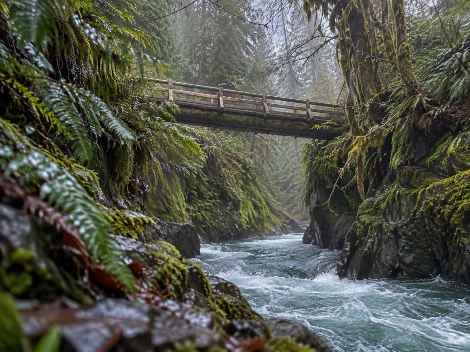 ModeratePony Bridge Trail5 mi · 3 hr · At the trailheadA forested gorge with a steep approach and timber bridge.
 ChallengingGraves Creek Trail to Lake Sundown14.6 mi · 13.5 hr · 0.1 mi awayA rugged climb from Graves Creek forest to a remote alpine lake
 EasyCascading Terraces Trail0.5 mi · 30 min · 0.5 mi awayA short rainforest walk to a Quinault River meadow.
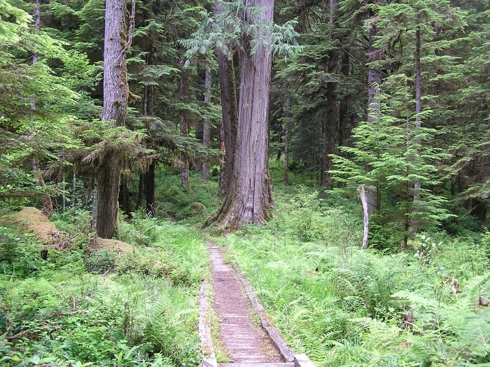 ChallengingNorth Fork Quinault River Trail33 mi · 1 day · 3.7 mi awayOld-growth river forest, rugged fords, and meadows at Low Divide
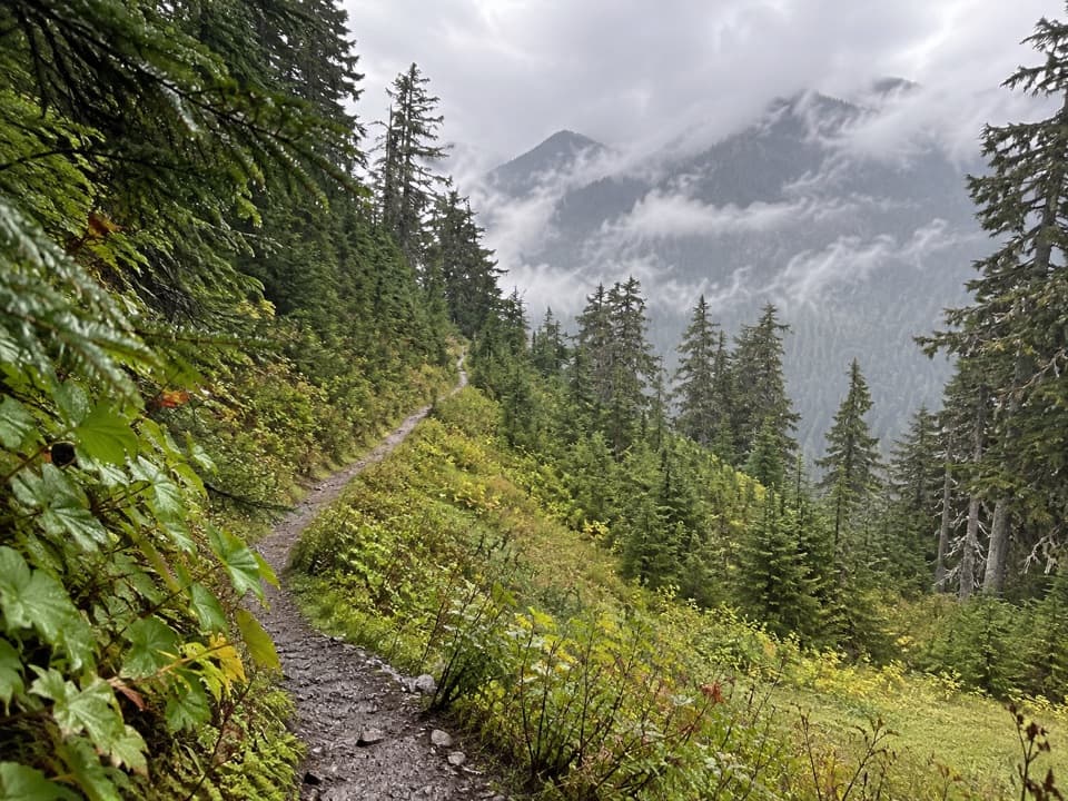 ChallengingSix Ridge Primitive Trail10.6 mi · 10 hr · 3.7 mi awayA rugged ridge crossing with quiet meadows and long climbs.
 ChallengingThree Lakes Trail via Big Creek13.8 mi · 9 hr · 4 mi awayA long forest climb to a mossy subalpine lake basin
 EasyIrely Lake Trail2.2 mi · 1.8 hr · 4 mi awayA mossy rainforest walk to a small lake with Mount Hoquiam views.
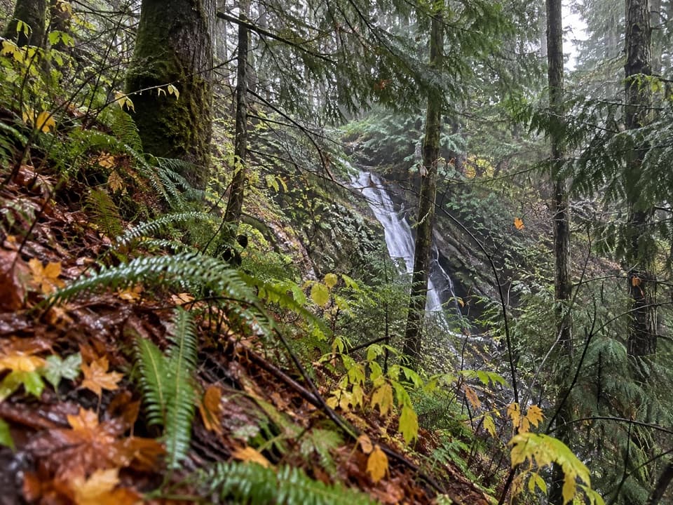 ModerateWynoochee Pass Trail5.2 mi · 4.3 hr · 4.3 mi awayA rough forest climb to two small ponds at the pass.
Parkwolf’s Olympic ranking

The audio tour guide for the drive, plus offline maps, trails, and wildlife heatmaps for when the signal drops.