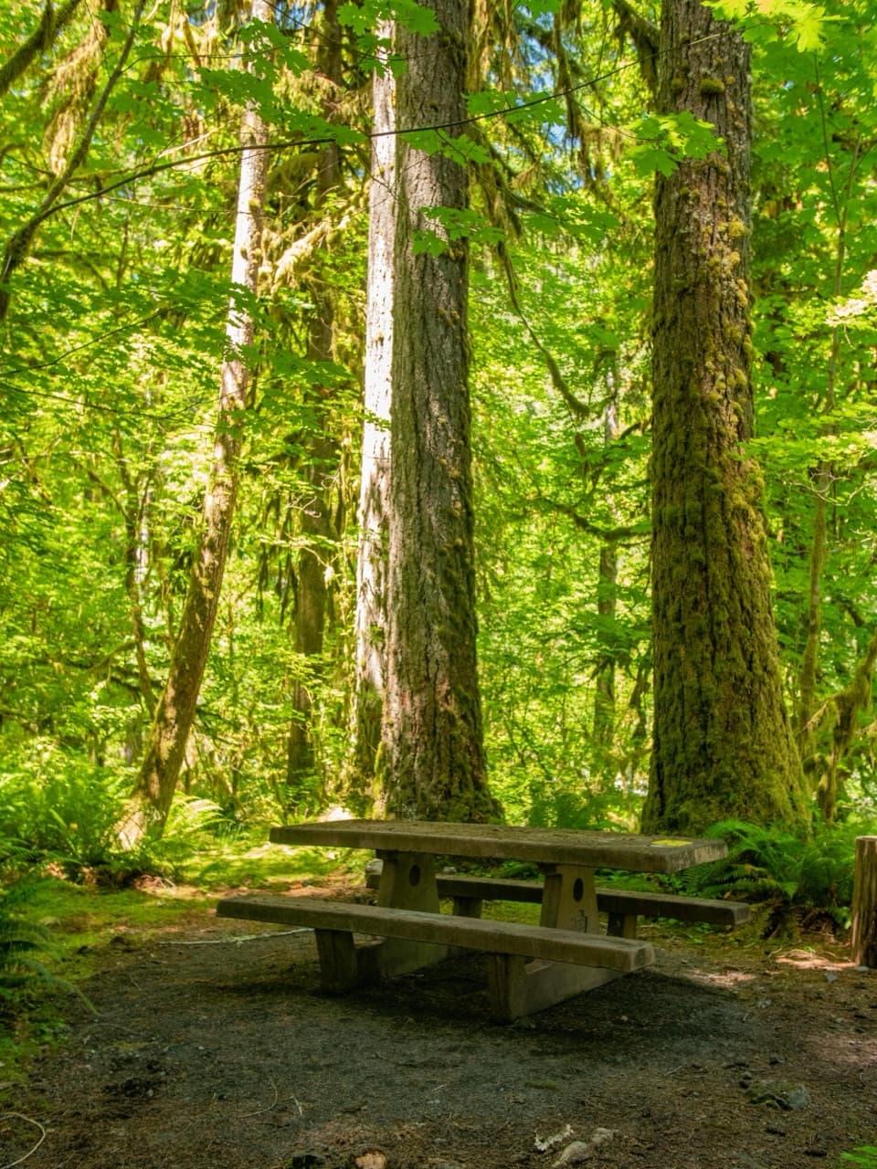
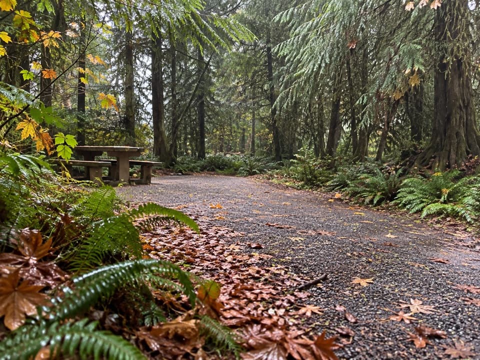
Parking
Follow South Shore Road to Graves Creek Road and continue to the road end at Graves Creek Trailhead. Start across the high footbridge over Graves Creek and follow signs for the East Fork Quinault River Trail.
Olympic National Park, WA
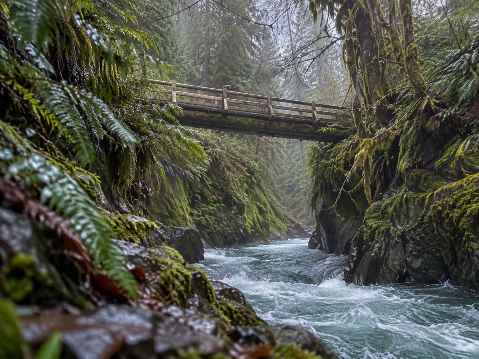
A forested gorge with a steep approach and timber bridge.
Overview
Pony Bridge crosses above a narrow, deep gorge. Look down the bend for small feeder streams cascading into the East Fork, with rapids and calmer pools below. This is the natural turnaround for a day hike. Take a moment on the bridge, then start back before the climb out feels like a surprise. For a photo, keep both the water and the steep gorge walls in the frame; they show the depth that a bridge-only shot misses.
 Parkwolf’s verdictPony Bridge is the payoff
Map & elevation
Plan your hike

The highest, rockiest slopes around here are a summer buffet for grizzly bears.
Olympic Tour Guide
Parkwolf is a GPS audio tour guide for Olympic National Park. As you drive, it chimes in with what’s ahead: hidden gems, upcoming stops, history, geology, and wildlife, right through your car’s speakers.
See the Olympic audio tourRecorded for this trailhead
Graves Creek: Pony Bridge or Enchanted Valley“You're nearing Graves Creek Trailhead, where the route to Enchanted Valley begins.”
Plays as you drive up to this trailhead in the Parkwolf Olympic Tour Guide.
More stories near here in the app
“Fantastic app with many points of information… It’s great to just turn on while you’re driving and it gives you an audio tour of the national Park. We love it!!!!”


Trail guide
Pony Bridge Trail is about a 5-mile out-and-back from Graves Creek Trailhead to Pony Bridge, then back the same way. Allow about three hours. The climb adds up to roughly 1,000 feet, so this feels like a proper hike rather than a flat river walk. It’s a good choice if you want a taste of the East Fork Quinault rainforest without making the long backpack to Enchanted Valley.
From the road-end trailhead, cross the high footbridge over Graves Creek and stay with the East Fork Quinault River Trail at the early junction; Graves Creek Primitive Trail branches off. The East Fork route follows an old road grade through forest, climbing about 500 feet to a low saddle before dropping steeply toward the river. The last half-mile narrows. Expect uneven rock, compacted and loose gravel, and exposed roots; loose gravel can be slick after rain. You’ll climb back up that steep section on the return.
Three small campsites sit just north of the bridge, and there’s a pit toilet there. Overnight trips need a wilderness camping permit, and food, garbage, and scented items must be secured in a bear canister. The East Fork and its tributaries are the water sources, so filter, boil, or chemically treat anything collected for drinking. Dogs aren’t allowed on this park wilderness trail. The East Fork route continues onward toward Enchanted Valley, but that’s a much longer backcountry trip.
Wildlife
 710 sightingsOlympic MarmotMost seen around 11 AMSighting map
 30 sightingsHumpback WhaleMost seen around 6 PMSighting map
 42 sightingsGrey WhaleMost seen around noonSighting map
 23 sightingsMountain LionMost seen around 8 PMSighting map
 71 sightingsMountain GoatMost seen around 7 AMSighting map
 306 sightingsBald EagleMost seen around 11 AMSighting map
Sighting maps show where each species has been reported across Olympic. Wildlife moves, so no sighting is guaranteed.
Keep exploring
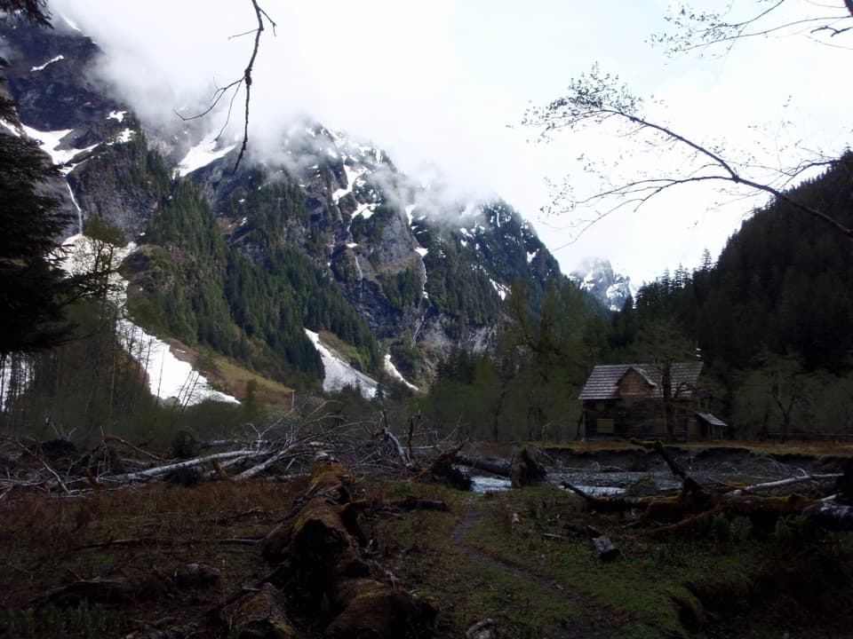 ChallengingEast Fork Quinault River Trail to Enchanted Valley26 mi · 16 hr · At the trailheadA multi-day rainforest trek ends at a chalet beneath steep valley walls.
 ChallengingGraves Creek Trail to Lake Sundown14.6 mi · 13.5 hr · 0.2 mi awayA rugged climb from Graves Creek forest to a remote alpine lake
 EasyCascading Terraces Trail0.5 mi · 30 min · 0.4 mi awayA short rainforest walk to a Quinault River meadow.
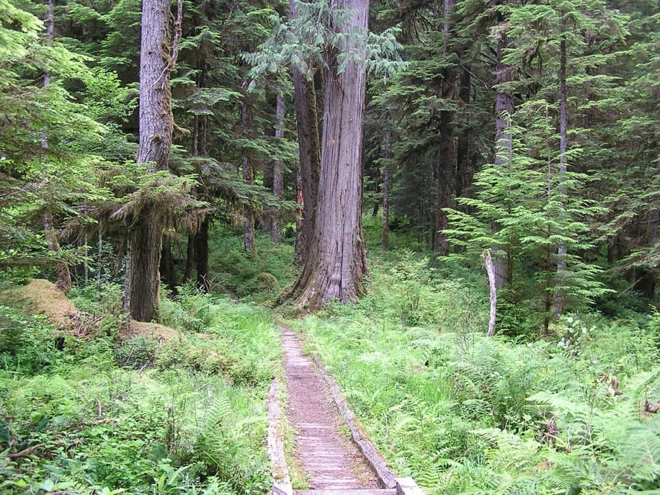 ChallengingNorth Fork Quinault River Trail33 mi · 1 day · 3.6 mi awayOld-growth river forest, rugged fords, and meadows at Low Divide
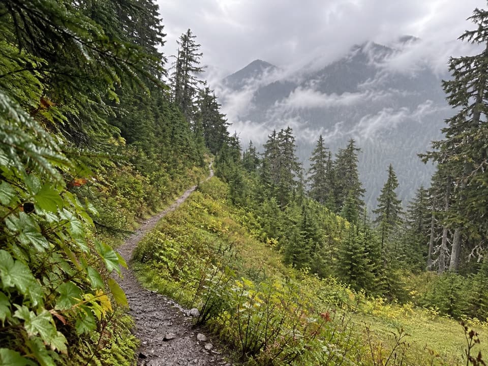 ChallengingSix Ridge Primitive Trail10.6 mi · 10 hr · 3.7 mi awayA rugged ridge crossing with quiet meadows and long climbs.
 ChallengingThree Lakes Trail via Big Creek13.8 mi · 9 hr · 4 mi awayA long forest climb to a mossy subalpine lake basin
 EasyIrely Lake Trail2.2 mi · 1.8 hr · 4 mi awayA mossy rainforest walk to a small lake with Mount Hoquiam views.
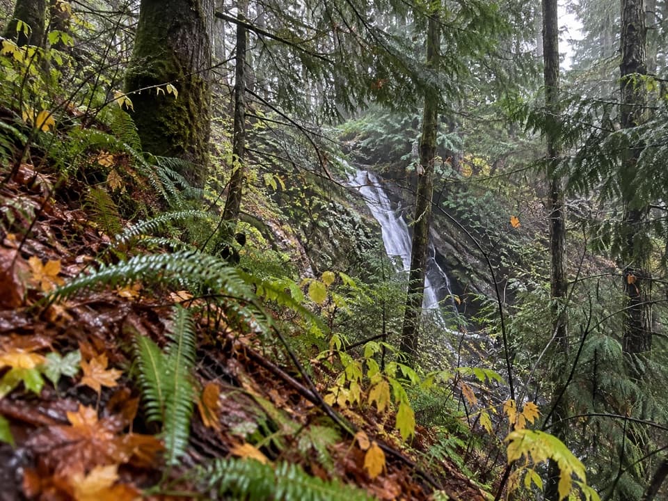 ModerateWynoochee Pass Trail5.2 mi · 4.3 hr · 4.3 mi awayA rough forest climb to two small ponds at the pass.
Parkwolf’s Olympic ranking
The audio tour guide for the drive, plus offline maps, trails, and wildlife heatmaps for when the signal drops.