Pachena Point Lighthouse in Pacific Rim National Park Reserve

Sight · Pacific Rim National Park Reserve

Pachena Point Lighthouse

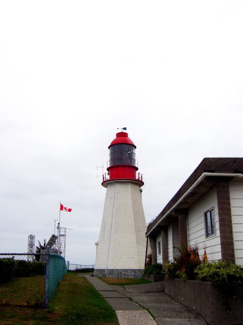
A 1907 lighthouse built after a deadly shipwreck.

Photo: Wikimedia Commons

Overview

About Pachena Point Lighthouse

Why stop

  • A rare coastal lighthouse with a compelling rescue history.

Heads up

  • Reaching the area means taking on a challenging multi-day trail.

Map

Where it is

Loading the Pacific Rim map
Full map
SightPachena Point Lighthouse48.72222, -125.09714
Keep this map with you offline in the Parkwolf app

Plan your stop

Before you go

7 active Pacific Rim alerts

  • ClosureWest Coast Trail winter access restrictionMentions West Coast Trail, referenced in this guideFrom October 7 through April 30, only day use between Pachena Bay trailhead and km 8 is permitted; overnight use and the remainder of the West Coast Trail are closed.Official details
  • ClosureWest Coast Trail lightstations closedMentions West Coast Trail, referenced in this guideCarmanah Point and Pachena Point Lightstations and their surrounding grounds in the West Coast Trail Unit are closed to public use at all times; do not enter.Official details

See all 7 alerts
A park ranger sits on a dash-mounted phone, talking, as Parkwolf’s Tour Guide plays “Army Cutworm Moths: A Grizzly Bear Buffet” on Grand Loop Road below Dunraven Pass in Yellowstone
Parkwolf Tour GuideThe highest, rockiest slopes around here are a summer buffet for grizzly bears.

Pacific Rim Tour Guide

Your drive to Pachena Point Lighthouse, narrated.

Parkwolf is a GPS audio tour guide for Pacific Rim National Park Reserve. As you drive, it chimes in with what’s ahead: hidden gems, upcoming stops, history, geology, and wildlife, right through your car’s speakers.

See the Pacific Rim audio tour

More stories near here in the app

  • Pachena Bay West Coast Trail Orientation Centre
  • Pachena Bay Campground
  • A Wave Across the Pacific
  • 34 audio storiesacross Pacific Rim’s roads, triggered by GPS as you drive
  • Wildlife heatmapsfor Orca, Humpback Whale, Black Bear, and 13 more
  • Works offlinemaps, 19 trails, 52 places, and audio download before you lose signal
  • CarPlay readysimple controls built for the drive
★★★★★
“Fantastic app with many points of information… It’s great to just turn on while you’re driving and it gives you an audio tour of the national Park. We love it!!!!”
JMJamesApp Store review
Download Parkwolf on the App StoreGet Parkwolf on Google Play

4.7 from 8,600+ ratings

Guide

More about Pachena Point Lighthouse

A lighthouse on a backcountry coastPachena Point Light Station is a historic lighthouse on Vancouver Island's exposed west coast,…

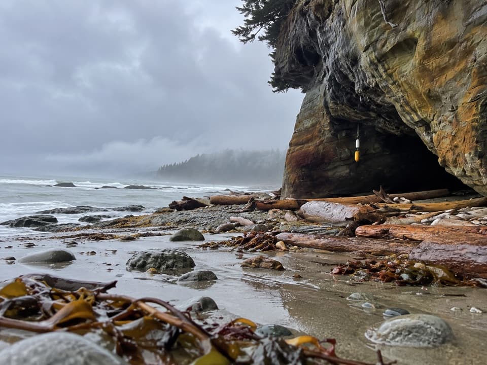
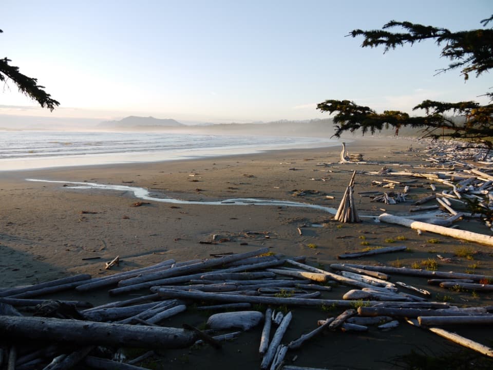
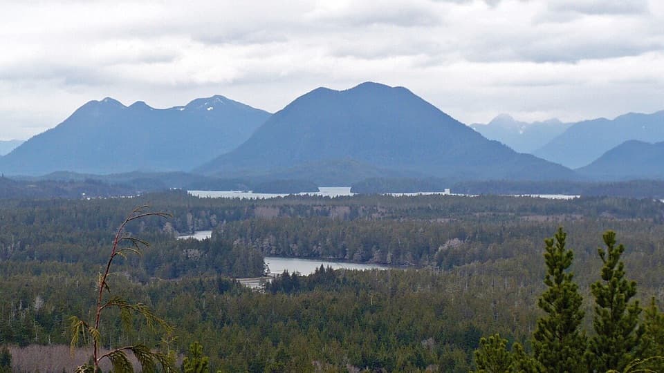
Pachena Point Light Station is a historic lighthouse on Vancouver Island's exposed west coast, beside the West Coast Trail in Pacific Rim National Park Reserve. It is a remote coastal landmark, not a roadside stop: the trail is a challenging 75-kilometre backcountry route that takes hikers several days.

The wreck that led to itIn 1906, the Valencia wrecked off Vancouver Island and more than 125 people died.

In 1906, the Valencia wrecked off Vancouver Island and more than 125 people died. The disaster led to the construction of the Pachena light in 1907 and helped drive a wider coastal rescue effort. The West Coast Trail grew from that life-saving work, with shelters meant for shipwreck survivors and the people trying to reach them.

A tower rebuilt after a landslideThe first tower was damaged by a landslide while it was being built in February 1907, so it had…

The first tower was damaged by a landslide while it was being built in February 1907, so it had to be rebuilt. The finished structure is an eight-sided wooden tower, just under 39 feet tall to its lantern deck. A first-order Fresnel lens was installed in 1909; its glass prisms focused the lamp into a strong beam. The lens served until it was retired in 1997.

A lived-in light stationKeepers and telegraph linemen once lived at the station.

Keepers and telegraph linemen once lived at the station. A wireless station was built in 1907, and the lighthouse base doubled as a weekday schoolroom and a weekend dance hall. Its last keeper filed a final weather report in October 2024, ending 117 years of staffed keeper service.

An older route through this coastThe West Coast Trail follows travel and trade routes used by Huu-ay-aht, Ditidaht, and…

The West Coast Trail follows travel and trade routes used by Huu-ay-aht, Ditidaht, and Pacheedaht peoples long before foreign sailing ships reached this coast. The lighthouse dates to 1907, but the route through this landscape has a much older human history.

Wildlife

Wildlife in Pacific Rim

All Pacific Rim wildlife maps

Sighting maps show where each species has been reported across Pacific Rim. Wildlife moves, so no sighting is guaranteed.

Parkwolf’s Pacific Rim ranking

Top sights in Pacific Rim

All 52 places
  1. 1Long BeachBeach
  2. 2Wickaninnish BeachBeach
  3. 3Tsusiat FallsSight
  4. 4Incinerator RockSight
  5. 5Owen Point Sea CavesSight
  6. 6Radar HillSight

Take Parkwolf to Pacific Rim.

The audio tour guide for the drive, plus offline maps, trails, and wildlife heatmaps for when the signal drops.

4.7 from 8,600+ ratings

Download Parkwolf on the App StoreGet Parkwolf on Google Play