Canso Bomber Ruins Trail in Pacific Rim National Park Reserve

Pacific Rim National Park Reserve, BC

Canso Bomber Ruins Trail

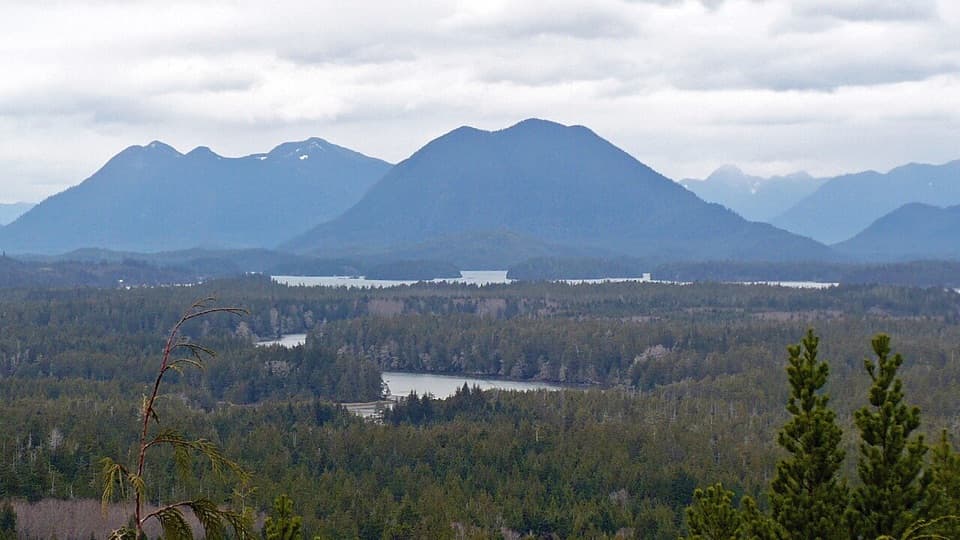
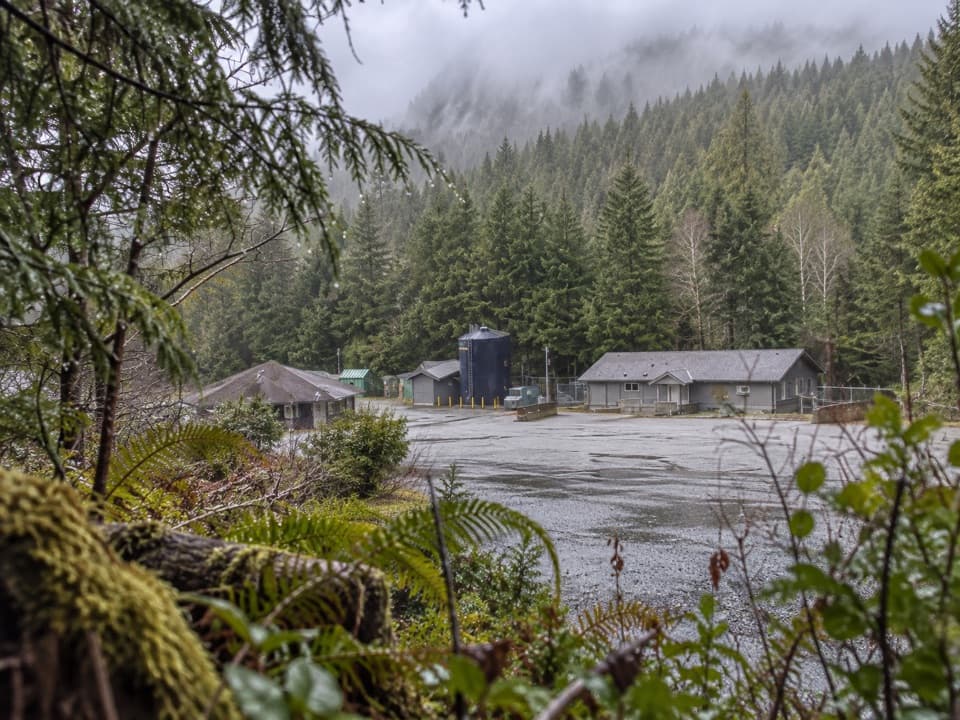
A wartime bomber lies beyond a muddy coastal bog.

Photo: Wikimedia Commons
Length
5km
Time
2.5hr
Elev. change
42m
Difficulty
Moderate
  • High point 63 m

Hear the audio tour

A Slug’s Four Feelers

Overview

About Canso Bomber Ruins Trail

Why go

  • The wreck is a rare, memorable aviation-history destination.
  • A clear payoff makes the muddy approach worthwhile for history-minded hikers.

Heads up

  • The bog can be very muddy even in late summer.
  • Informal wayfinding and uncertain access take more effort than the mileage suggests.

Map & elevation

The route

Loading the Pacific Rim map
Full map
Elevation21–63 m
TrailheadLower Radar Hill Road parking lot49.08998, -125.83285
Keep this map with you offline in the Parkwolf app

Plan your hike

Before you go

Parking

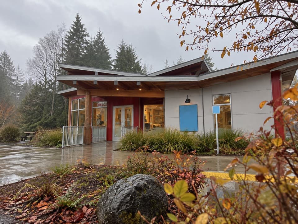
Use the lower Radar Hill Road parking lot, not the separate upper Radar Hill viewpoint lot. Follow the paved multi-use path from the lot to the forest route; the local directions say not to park or walk along the highway shoulder. A Parks Canada entry pass is required and covers parking.

Safety

The route is informal and isn't listed on Parks Canada's main hiking page; whether formal access is currently authorized is unconfirmed. Pet rules are also not established. Expect deep mud and difficult wayfinding in the bog. The derelict building has been described with damaged walls and exposed wiring; don't enter it. Stay off the aircraft wreck.

7 active Pacific Rim alerts

  • CautionWolf warning in Long Beach UnitA wolf warning remains active in the Long Beach Unit; leave pets at home because dogs attract wolves. Check current trail conditions before travelling.Official details
  • ClosureWest Coast Trail winter access restrictionFrom October 7 through April 30, only day use between Pachena Bay trailhead and km 8 is permitted; overnight use and the remainder of the West Coast Trail are closed.Official details
See all 7 alerts
A park ranger sits on a dash-mounted phone, talking, as Parkwolf’s Tour Guide plays “Army Cutworm Moths: A Grizzly Bear Buffet” on Grand Loop Road below Dunraven Pass in Yellowstone
Parkwolf Tour GuideThe highest, rockiest slopes around here are a summer buffet for grizzly bears.

Pacific Rim Tour Guide

Your drive to Canso Bomber Ruins Trail, narrated.

Parkwolf is a GPS audio tour guide for Pacific Rim National Park Reserve. As you drive, it chimes in with what’s ahead: hidden gems, upcoming stops, history, geology, and wildlife, right through your car’s speakers.

See the Pacific Rim audio tour

Recorded for this area

A Slug’s Four Feelers
0:00 / 0:31
“A banana slug has two pairs of tentacles doing different jobs. The longer pair carries eyes that sense light and movement; the shorter pair helps it feel and smell its way around.”

Plays on the road 0.7 km from the trailhead in the Parkwolf Pacific Rim Tour Guide.

More stories near here in the app

  • Radar Hill
  • The Flying Boat in the Forest
  • A Whale's Mouthful of Mud
  • Grice Bay’s Hidden Meadows
  • 34 audio storiesacross Pacific Rim’s roads, triggered by GPS as you drive
  • Wildlife heatmapsfor Orca, Humpback Whale, Black Bear, and 13 more
  • Works offlinemaps, 19 trails, 52 places, and audio download before you lose signal
  • CarPlay readysimple controls built for the drive
★★★★★
“Fantastic app with many points of information… It’s great to just turn on while you’re driving and it gives you an audio tour of the national Park. We love it!!!!”
JMJamesApp Store review
Download Parkwolf on the App StoreGet Parkwolf on Google Play

4.7 from 8,600+ ratings

Trail guide

Hiking Canso Bomber Ruins Trail

What this hike isThe Canso Bomber Ruins Trail is an informal 5 km (3.

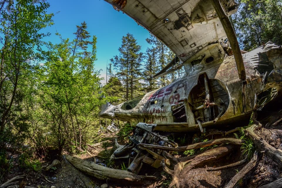
The Canso Bomber Ruins Trail is an informal 5 km (3.1-mile) out-and-back from the lower Radar Hill Road parking lot in Pacific Rim National Park Reserve. A paved pathway leads to a forest route and the surviving wreck of a Royal Canadian Air Force Canso bomber that went down in 1945. The wreck is the payoff; the walk there is muddy, rough and hard to follow in places. Count the paved approach and the return in the distance.

Getting there and backFollow the paved multi-use path from the lower lot to the forest trail.

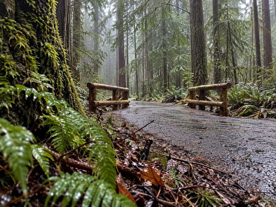
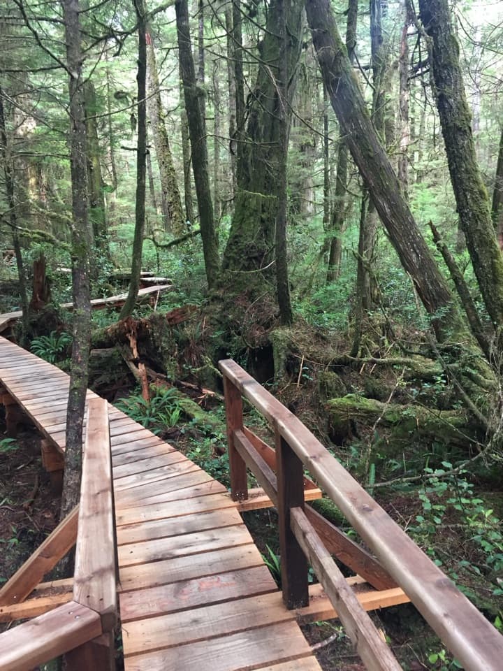
Follow the paved multi-use path from the lower lot to the forest trail. The broad start climbs gradually to a derelict building; beyond it the track narrows and drops into a bog. Mud can linger into late summer, and local route directions describe markers and ropes through the wettest stretch. After the bog, the route crosses rough coastal forest, passes a nearly circular pond and reaches the wreck on a hillside. Return the same way, including the climb back out of the bog. Allow about two to three hours; the slow footing and time at the plane matter more than the modest distance.

At the wreckThe Canso's damaged fuselage and tail sit among trees on a slope, with the tail visible as you…

The Canso's damaged fuselage and tail sit among trees on a slope, with the tail visible as you approach. The airframe has weathered and been vandalized; stay on the ground and don't enter or climb on it. The pond is a useful landmark just before the plane. For a photo, pause where the tail first appears through the trees so the wreck still has its forest setting around it.

Access and limitsThis is an informal route, and Parks Canada doesn't list it on its main hiking page.

This is an informal route, and Parks Canada doesn't list it on its main hiking page. The available sources don't establish its current formal access status, so check with Parks Canada before setting out. The lower lot is inside the national park: a park entry pass is required, and parking is included. Pet rules for this route aren't confirmed.

Wildlife

Wildlife in Pacific Rim

All Pacific Rim wildlife maps

Sighting maps show where each species has been reported across Pacific Rim. Wildlife moves, so no sighting is guaranteed.

Keep exploring

Near Canso Bomber Ruins Trail

See it all on the map

Trails that start nearby

Places near the trailhead

Parkwolf’s Pacific Rim ranking

Top-rated trails in Pacific Rim

All 19 trails
  1. 1West Coast TrailChallenging · 75 km
  2. 2Rainforest Trail AModerate · 1 km
  3. 3Rainforest Trail BModerate · 1 km
  4. 4South Beach TrailModerate · 1.6 km
  5. 5Halfmoon Bay TrailModerate · 3.6 km
  6. 6Shorepine Bog TrailEasy · 0.8 km

Take Parkwolf to Pacific Rim.

The audio tour guide for the drive, plus offline maps, trails, and wildlife heatmaps for when the signal drops.

4.7 from 8,600+ ratings

Download Parkwolf on the App StoreGet Parkwolf on Google Play