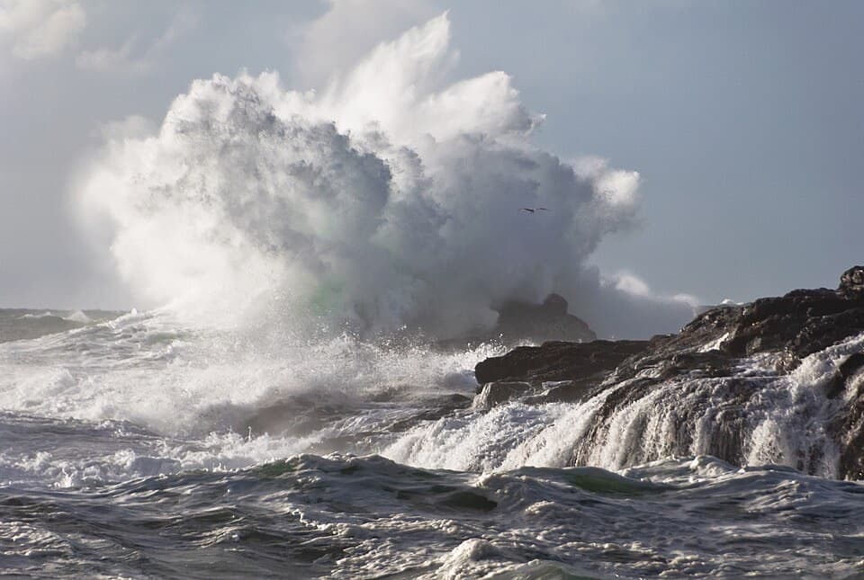
Parking
Follow Radar Road from Highway 4 to the upper Radar Hill parking lot, which is the trailhead. A national park entry pass is required; the automated Park Use Machine is at the lower lot and accepts credit cards.
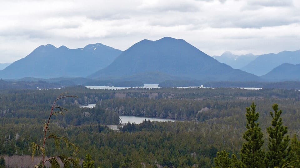
Pacific Rim National Park Reserve, BC
A steep paved climb to a Kapyong memorial and two ocean-facing decks.
Overview
Map & elevation
Plan your hike

The highest, rockiest slopes around here are a summer buffet for grizzly bears.
Pacific Rim Tour Guide
Parkwolf is a GPS audio tour guide for Pacific Rim National Park Reserve. As you drive, it chimes in with what’s ahead: hidden gems, upcoming stops, history, geology, and wildlife, right through your car’s speakers.
See the Pacific Rim audio tourRecorded for this trailhead
Radar Hill“You're coming up on Radar Hill, with two outlooks over very different stretches of coast. In clear weather, make time for both: one looks across Clayoquot Sound, the other toward Long Beach.”
Plays as you drive up to this trailhead in the Parkwolf Pacific Rim Tour Guide.
More stories near here in the app
“Fantastic app with many points of information… It’s great to just turn on while you’re driving and it gives you an audio tour of the national Park. We love it!!!!”


Trail guide
Radar Hill Trail is a paved out-and-back from the upper parking lot, about 0.38 miles round trip to the Kapyong Memorial and two viewing decks. Allow about 20 minutes with stops. The grade is very steep, so treat this as a quick viewpoint visit rather than an easy stroll.
Climb from the upper lot and stop first at the memorial. Continue around the hill to the high point and a second, south-facing lookout, then retrace the same route. On a clear day the decks look across the Pacific, Clayoquot Sound, Tofino Inlet and the northern mountains. The second platform faces a different way, so visit both before heading back.
Radar Hill held a radar station during the Second World War. The cairn was placed here in 1998 to remember the Battle of Kapyong, fought April 22–25, 1951, during the Korean War. The 2nd Battalion, Princess Patricia’s Canadian Light Infantry helped prevent a costly defeat for South Korean and United Nations forces; ten Canadians were killed and 23 wounded. The battalion received the rare United States Presidential Unit Citation.
Take Radar Road off Highway 4 to the upper Radar Hill parking lot; that is this trail’s start. A national park entry pass is required. The automated Park Use Machine is at the lower lot and takes credit cards. An accessible toilet is available at Radar Hill. The viewing platforms have ramp access, but the steep paved approach can still be difficult. Dogs are allowed in this Long Beach area when leashed and under physical control.
The published distance is 500 metres one way (1 kilometre there and back), much longer than the 0.19-mile mapped corridor from the upper lot to the memorial and both decks. This record follows that continuous paved corridor and counts it twice, for about 0.38 miles round trip. Check current route information if the longer measurement matters to your plans.
Wildlife
 11 sightingsOrcaMost seen around 10 AMSighting map
 16 sightingsHumpback WhaleMost seen around 5 PMSighting map
 174 sightingsBlack BearMost seen around 8 PMSighting map
 16 sightingsSea OtterMost seen around 6 PMSighting map
 134 sightingsSteller Sea LionMost seen around 6 PMSighting map
 18 sightingsCalifornia Sea LionMost seen around noonSighting map
Sighting maps show where each species has been reported across Pacific Rim. Wildlife moves, so no sighting is guaranteed.
Keep exploring
 ModerateCanso Bomber Ruins Trail5 km · 2.5 hr · 0.9 km awayA wartime bomber lies beyond a muddy coastal bog.
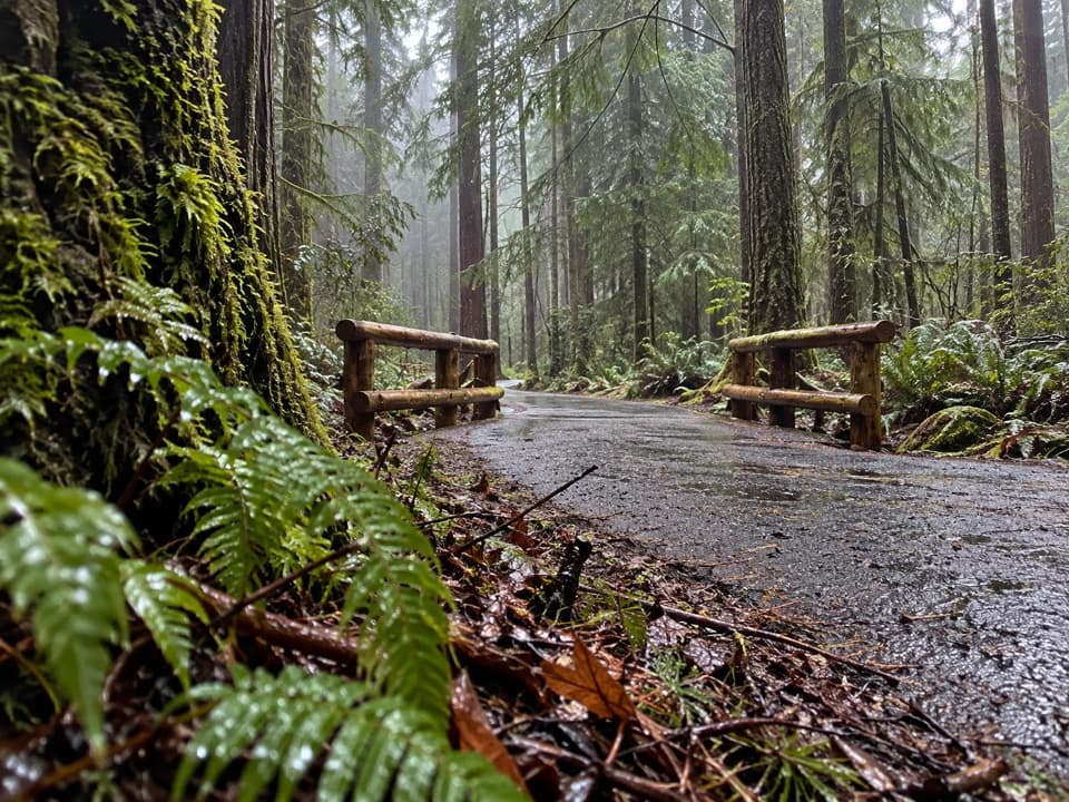 Moderateʔapsčiik t̓ašii Pathway25 km · 6 hr · 1.3 km awayA paved coast route through forest, beaches, and day-use stops
 ChallengingCox Bay Lookout0.7 km · 1.3 hr · 2.9 km awayA short, steep climb to a broad view over Cox Bay.
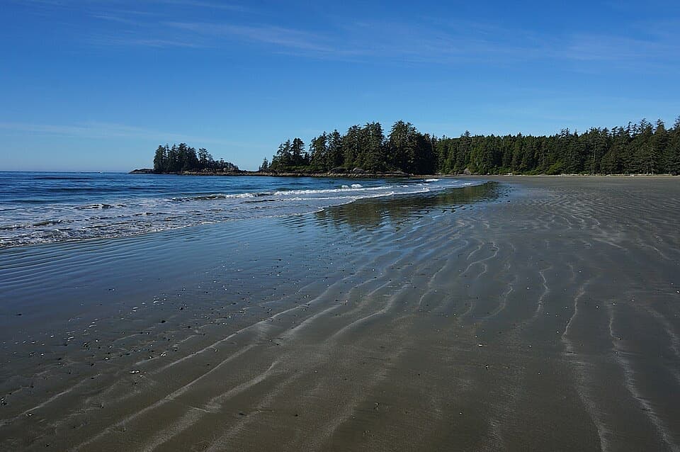 ModerateSchooner Cove Trail2 km · 1 hr · 4.2 km awayA rainforest stairway drops to the Pacific at Schooner Cove.
 EasyGreen Point South Trail1 km · 30 min · 9.3 km awayA brief forest descent opens onto Combers Beach.
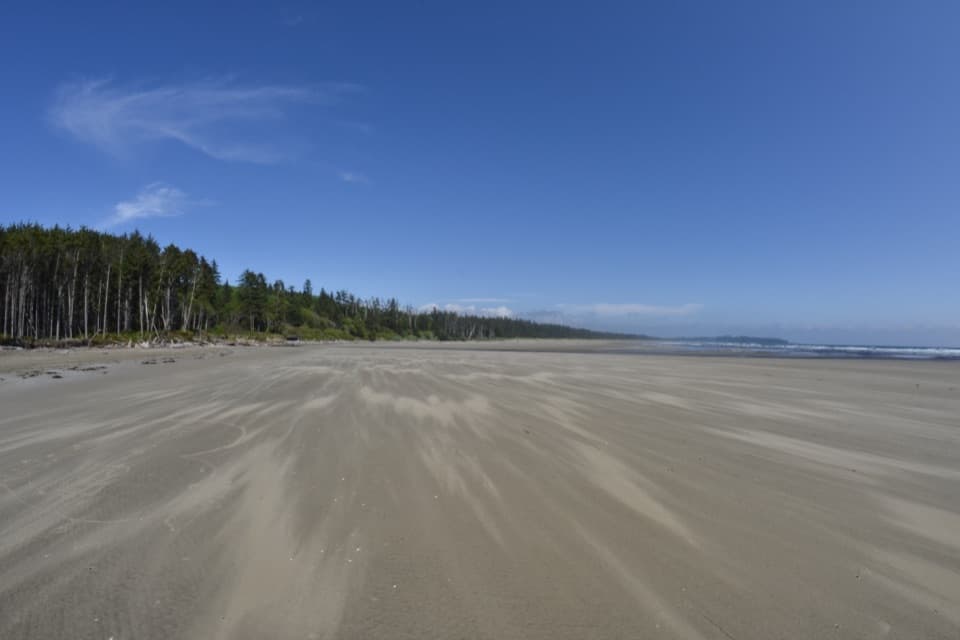 ModerateCombers Beach Trail1 km · 45 min · 11 km awayA short forest descent to a broad Pacific beach.
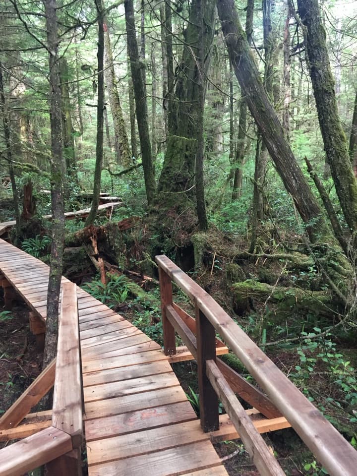 ModerateRainforest Trail A1 km · 30 min · 12.5 km awayBoardwalks thread giant cedars and stair-stepped ravines.
 ModerateRainforest Trail B1 km · 30 min · 12.5 km awayA short boardwalk loop with more stairs than its distance suggests.Sight · At the trailheadRadar HillTwo coastlines and a Korean War memorial above Highway 4.
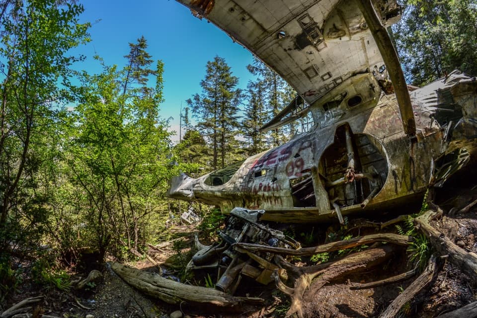 Sight · 1.5 km awayCanso Plane Crash SiteA WWII flying boat wreck in the rainforest south of Radar Hill.
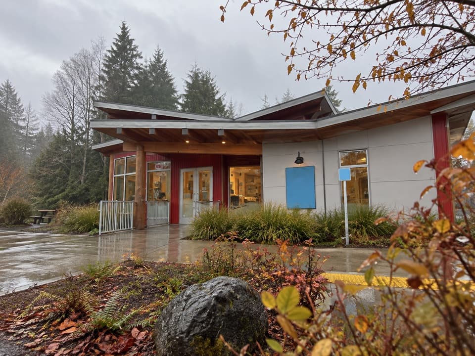 Visitor center · 3.2 km awayTofino Visitor CentreStop in for local maps, trip advice and a Parks Canada pass.
 Beach · 3.4 km awaySchooner Cove BeachForest gives way to a sandy cove with a tree-covered rock offshore.
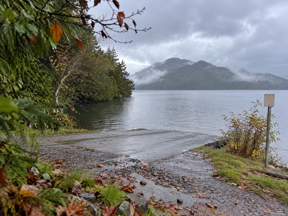 Sight · 5 km awayGrice Bay Boat LaunchA sheltered inlet for kayaking and small-boat launches.
 Sight · 5.6 km awayIncinerator RockA tree-covered rock with Long Beach surf on both sides.
 Beach · 6.2 km awayLong BeachA wide Pacific beach made for long, unrushed walks.
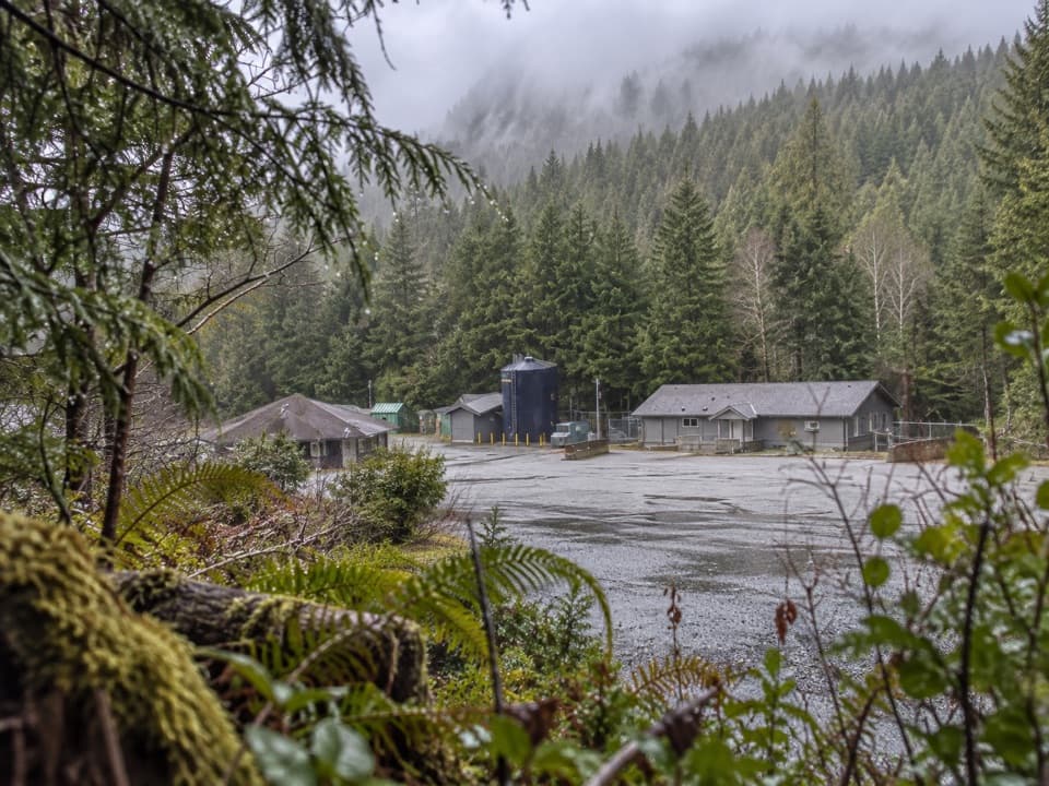 Sight · 9 km awayNational Park Reserve Administration OfficeA useful roadside errand for visitors who need park services.
Parkwolf’s Pacific Rim ranking

The audio tour guide for the drive, plus offline maps, trails, and wildlife heatmaps for when the signal drops.