Parking
Schooner Cove Trail parking area off Highway 4 in the Long Beach Unit.
#9 of 19 trails in Pacific Rim
Pacific Rim National Park Reserve, BC
A rainforest stairway drops to the Pacific at Schooner Cove.
Overview
Map & elevation
Plan your hike

The highest, rockiest slopes around here are a summer buffet for grizzly bears.
Pacific Rim Tour Guide
Parkwolf is a GPS audio tour guide for Pacific Rim National Park Reserve. As you drive, it chimes in with what’s ahead: hidden gems, upcoming stops, history, geology, and wildlife, right through your car’s speakers.
See the Pacific Rim audio tourRecorded for this trailhead
Schooner Cove“Schooner Cove trailhead is coming up, with a walk through rainforest to a sandy Pacific beach. This is a good choice if you want forest and coast in one outing, rather than a beach you can step onto from the car.”
Plays as you drive up to this trailhead in the Parkwolf Pacific Rim Tour Guide.
More stories near here in the app
“Fantastic app with many points of information… It’s great to just turn on while you’re driving and it gives you an audio tour of the national Park. We love it!!!!”


Trail guide
Schooner Cove Trail is a 1.24-mile out-and-back from the Highway 4 trailhead to Schooner Cove. It descends through young and old cedar and hemlock forest, then a Sitka spruce fringe, and ends on a broad Pacific beach. Allow about an hour for the return walk, plus time at the water. It is a good pick when you want rainforest and coast in one compact outing; the long stair flights make it more work than the mileage suggests.
A brief gravel approach gives way to wooden stairs and raised boardwalk. The path crosses small creeks on bridges and rolls through a series of shallow forest valleys, with long stair climbs between them. Near the shore, another steep stair section drops to the flatter beach boardwalk. On the way back, expect to climb the same stairs out of those valleys.
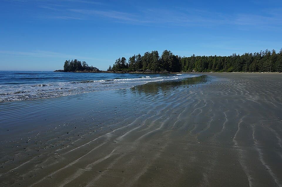
From the beach, you can glimpse Esowista, a Tla-o-qui-aht village; Tla-o-qui-aht people have lived along this shore for centuries. A rocky point beside the beach is reachable only at low tide, and the water can rise quickly. Check the tide before exploring the point and leave a safe way back. For a cove photo, include the forested headland above the wet sand rather than framing only the water.
Start at the Schooner Cove Trail parking area off Highway 4. A national park entry pass is required in the Long Beach Unit. Dogs are permitted on leash. The distance is short, but repeated wooden stair flights make this a moderate walk and a poor fit for anyone who cannot manage stairs.
Wildlife
 11 sightingsOrcaMost seen around 10 AMSighting map
 16 sightingsHumpback WhaleMost seen around 5 PMSighting map
 174 sightingsBlack BearMost seen around 8 PMSighting map
 16 sightingsSea OtterMost seen around 6 PMSighting map
 134 sightingsSteller Sea LionMost seen around 6 PMSighting map
 18 sightingsCalifornia Sea LionMost seen around noonSighting map
Sighting maps show where each species has been reported across Pacific Rim. Wildlife moves, so no sighting is guaranteed.
Keep exploring
 ModerateCanso Bomber Ruins Trail5 km · 2.5 hr · 3.9 km awayA wartime bomber lies beyond a muddy coastal bog.
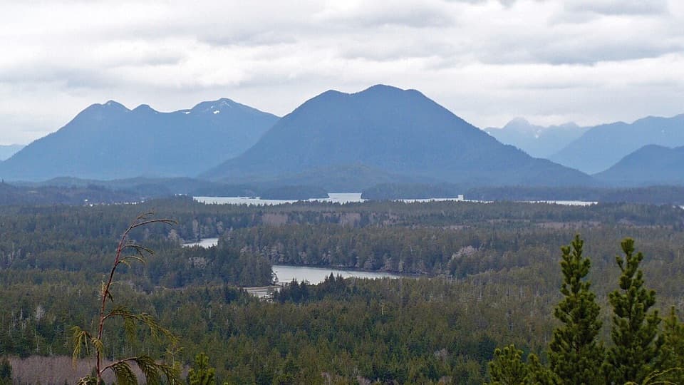 ModerateRadar Hill Trail0.6 km · 20 min · 4.2 km awayA steep paved climb to a Kapyong memorial and two ocean-facing decks.
 EasyGreen Point South Trail1 km · 30 min · 5.1 km awayA brief forest descent opens onto Combers Beach.
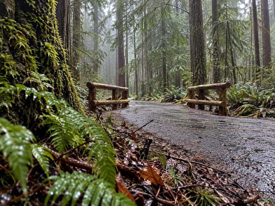 Moderateʔapsčiik t̓ašii Pathway25 km · 6 hr · 5.2 km awayA paved coast route through forest, beaches, and day-use stops
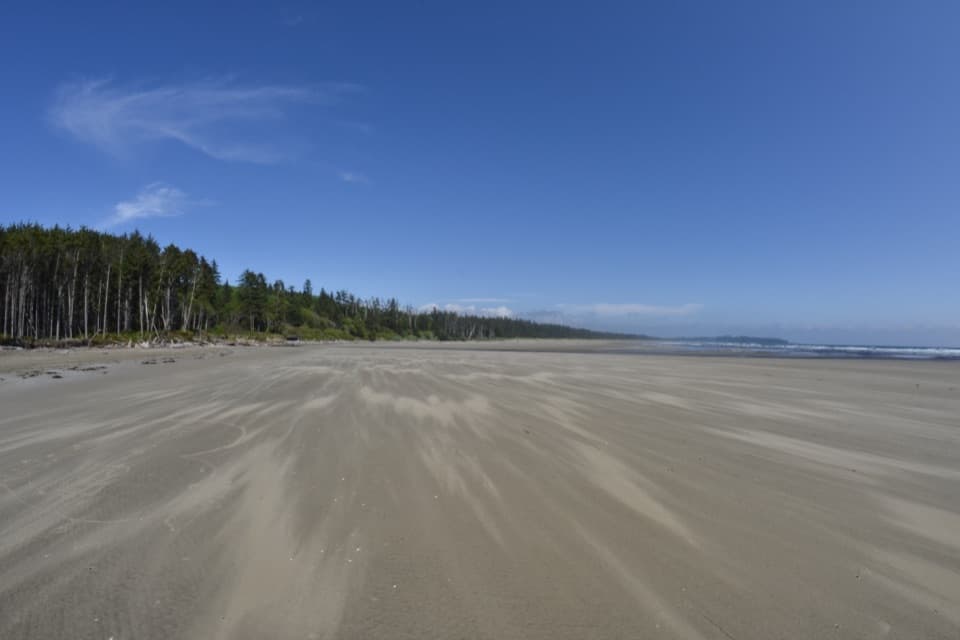 ModerateCombers Beach Trail1 km · 45 min · 6.9 km awayA short forest descent to a broad Pacific beach.
 ChallengingCox Bay Lookout0.7 km · 1.3 hr · 7 km awayA short, steep climb to a broad view over Cox Bay.
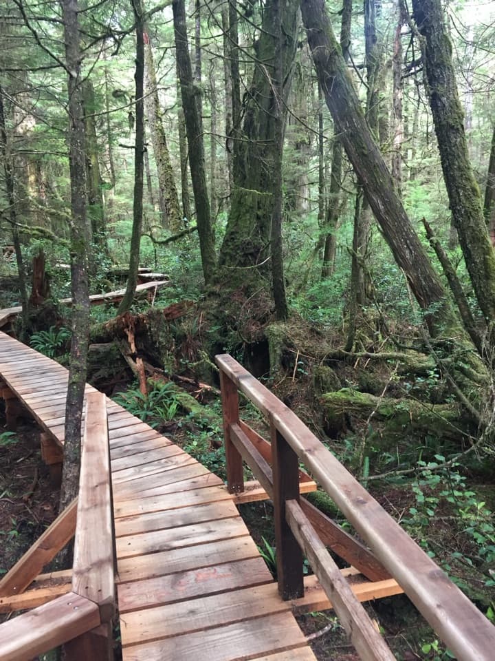 ModerateRainforest Trail A1 km · 30 min · 8.3 km awayBoardwalks thread giant cedars and stair-stepped ravines.
 ModerateRainforest Trail B1 km · 30 min · 8.4 km awayA short boardwalk loop with more stairs than its distance suggests.
 Sight · 1.4 km awayIncinerator RockA tree-covered rock with Long Beach surf on both sides.
 Beach · 1.5 km awaySchooner Cove BeachForest gives way to a sandy cove with a tree-covered rock offshore.
 Beach · 2 km awayLong BeachA wide Pacific beach made for long, unrushed walks.
 Sight · 2.7 km awayCanso Plane Crash SiteA WWII flying boat wreck in the rainforest south of Radar Hill.
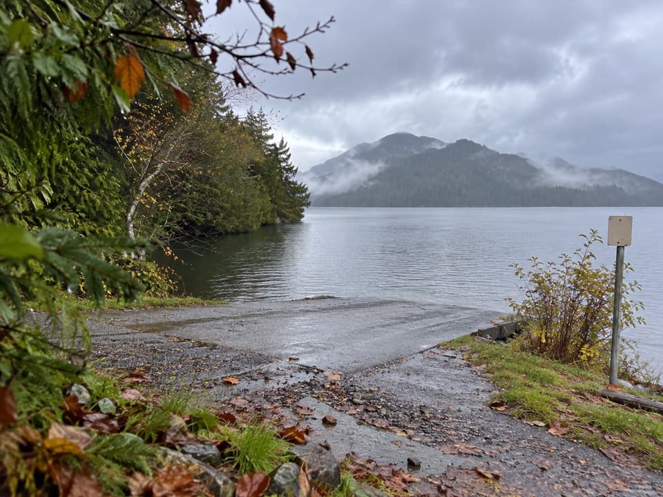 Sight · 3.9 km awayGrice Bay Boat LaunchA sheltered inlet for kayaking and small-boat launches.Sight · 4.2 km awayRadar HillTwo coastlines and a Korean War memorial above Highway 4.
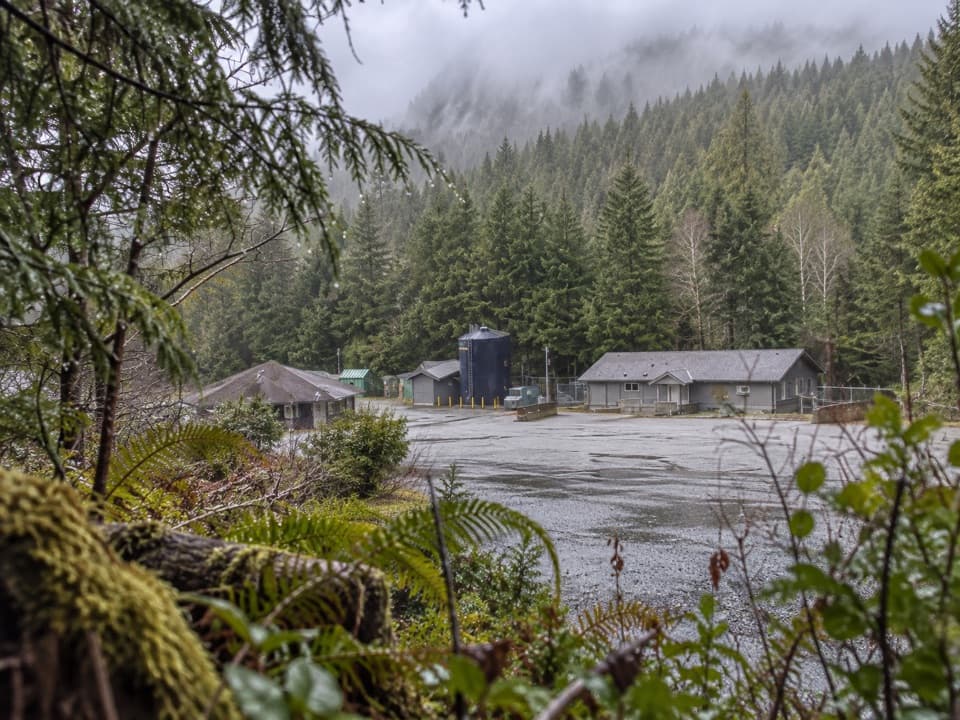 Sight · 4.8 km awayNational Park Reserve Administration OfficeA useful roadside errand for visitors who need park services.
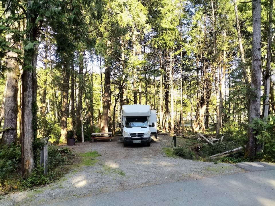 Campground · 5 km awayGreen Point CampgroundA forested campground with Long Beach just down the bluff.
Parkwolf’s Pacific Rim ranking

The audio tour guide for the drive, plus offline maps, trails, and wildlife heatmaps for when the signal drops.