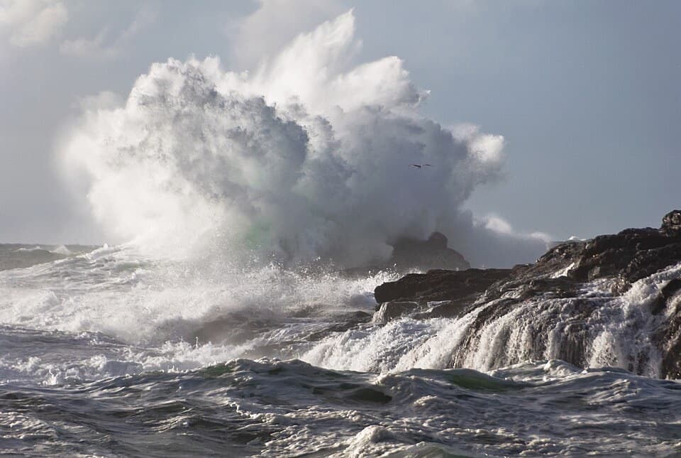
Cox Bay Lookout in Pacific Rim National Park Reserve

#7 of 19 trails in Pacific Rim

Pacific Rim National Park Reserve, BC

Cox Bay Lookout

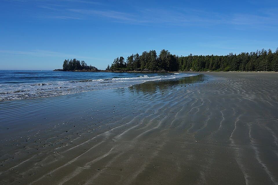
A short, steep climb to a broad view over Cox Bay.

Photo: Wikimedia Commons
Length
0.7km
Time
1.3hr
Elev. change
90m
Difficulty
Challenging
  • High point 90 m

Hear the audio tour

A Whale's Mouthful of Mud

Overview

About Cox Bay Lookout

Why go

  • A broad Cox Bay and Pacific view for a short walk

Heads up

  • Steep, muddy footing and short scrambling sections
  • Public access to the bluff is unconfirmed

Map & elevation

The route

Loading the Pacific Rim map
Full map
Elevation0–90 m
TrailheadCox Bay Beach, south bluff access49.09638, -125.87529
Keep this map with you offline in the Parkwolf app

Plan your hike

Before you go

Parking

Approach through posted public Cox Bay Beach parking, then walk the beach to its south end. Reports disagree about which lot serves the bluff and whether it is paid; the exact lot and fee were not verified. Parks Canada prohibits roadside parking and parking in front of gates in the reserve.

Safety

The unmarked bluff path is steep and uneven, with roots, wet ground and short scrambling. Its public authorization is unconfirmed; check posted restrictions before leaving the beach. Do not rely on a reported rope, whose current presence and condition are unknown.

7 active Pacific Rim alerts

  • CautionWolf warning in Long Beach UnitA wolf warning remains active in the Long Beach Unit; leave pets at home because dogs attract wolves. Check current trail conditions before travelling.Official details
  • ClosureWest Coast Trail winter access restrictionFrom October 7 through April 30, only day use between Pachena Bay trailhead and km 8 is permitted; overnight use and the remainder of the West Coast Trail are closed.Official details
See all 7 alerts
A park ranger sits on a dash-mounted phone, talking, as Parkwolf’s Tour Guide plays “Army Cutworm Moths: A Grizzly Bear Buffet” on Grand Loop Road below Dunraven Pass in Yellowstone
Parkwolf Tour GuideThe highest, rockiest slopes around here are a summer buffet for grizzly bears.

Pacific Rim Tour Guide

Your drive to Cox Bay Lookout, narrated.

Parkwolf is a GPS audio tour guide for Pacific Rim National Park Reserve. As you drive, it chimes in with what’s ahead: hidden gems, upcoming stops, history, geology, and wildlife, right through your car’s speakers.

See the Pacific Rim audio tour

Recorded for this area

A Whale's Mouthful of Mud
0:00 / 0:31
“Grey whales can make a meal out of a mouthful of mud. They roll onto one side, suck up sediment, and strain out tiny animals through baleen, the stiff plates hanging from the upper jaw.”

Plays on the road 1 km from the trailhead in the Parkwolf Pacific Rim Tour Guide.

More stories near here in the app

  • A Slug’s Four Feelers
  • Radar Hill
  • The Flying Boat in the Forest
  • Grice Bay’s Hidden Meadows
  • 34 audio storiesacross Pacific Rim’s roads, triggered by GPS as you drive
  • Wildlife heatmapsfor Orca, Humpback Whale, Black Bear, and 13 more
  • Works offlinemaps, 19 trails, 52 places, and audio download before you lose signal
  • CarPlay readysimple controls built for the drive
★★★★★
“Fantastic app with many points of information… It’s great to just turn on while you’re driving and it gives you an audio tour of the national Park. We love it!!!!”
JMJamesApp Store review
Download Parkwolf on the App StoreGet Parkwolf on Google Play

4.7 from 8,600+ ratings

Trail guide

Hiking Cox Bay Lookout

A short climb with a real payoffCox Bay Lookout is an informal out-and-back from the south end of Cox Bay Beach to a rocky…

Cox Bay Lookout is an informal out-and-back from the south end of Cox Bay Beach to a rocky perch on the forested bluff. The mapped path is about 0.22 miles each way, or 0.44 miles there and back, with roughly 295 feet of climbing. Allow about one to one and a half hours for the steep ascent, careful descent and a look around. The reward is a high view over the curve of Cox Bay and the Pacific coast; the effort is concentrated into a short, rough climb.

Find the start at the south endWalk along the beach toward its south end and look near the tideline for the rocky alcove and…

Walk along the beach toward its south end and look near the tideline for the rocky alcove and marshy patch where the track leaves the shore. There are no signs, and the exact first steps can shift with the beach approach. The path climbs directly into the coastal forest; this is a bluff ascent, not a longer walk along the sand.

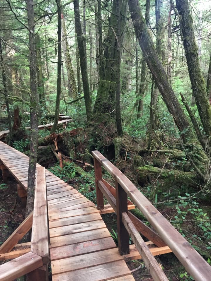
Roots, mud and rock stepsThe wooded path is steep and uneven, with roots underfoot and short sections of rock scrambling.

The wooded path is steep and uneven, with roots underfoot and short sections of rock scrambling. Hikers describe it as muddy and slippery when wet. Take your time on the way down, when the roots and rock can be harder to hold. A rope is mentioned in one account, but its presence and condition are unverified; do not plan on it being there.

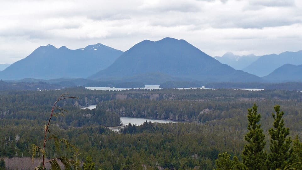
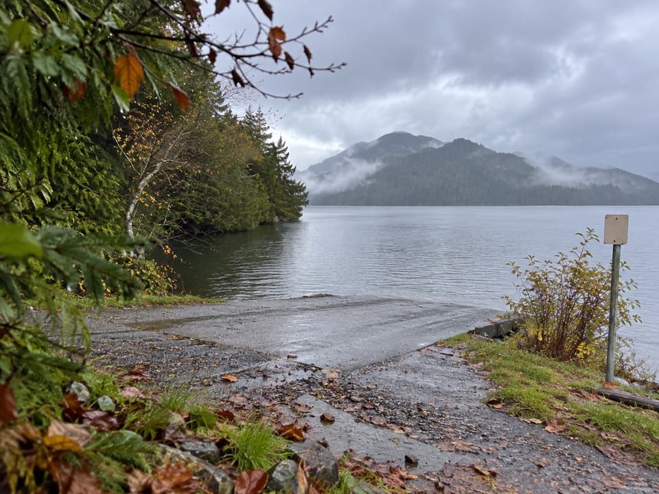
Look back from the bluffThe rocky top opens to an elevated view of Cox Bay, the open Pacific, forested headlands and…

The rocky top opens to an elevated view of Cox Bay, the open Pacific, forested headlands and mountains. The ledge and evergreen branches make a useful foreground for a photo of the sweep of beach. Stay on the established ground and turn back if the route or footing no longer feels clear.

Know what the distance coversDescriptions elsewhere report roughly 1.

Descriptions elsewhere report roughly 1.2 to 3 kilometres, but their route lines and starting points do not consistently match. The 0.44-mile figure here counts the named 351-metre bluff path out and back from the shore; it does not add the walk from a parking area along the beach. One longer description starts at Maltby Road. Check your access point before relying on another guide's mileage.

Check access before you climbParks Canada does not list this as a maintained park trail, and the mapped path is explicitly…

Parks Canada does not list this as a maintained park trail, and the mapped path is explicitly marked unsanctioned by the agency. Visitors describe using it, but current public authorization for the bluff route has not been confirmed. Check posted restrictions at the beach and do not climb where access is prohibited. Parking reports conflict, so use only posted public beach parking; Parks Canada prohibits roadside parking and parking in front of gates in the reserve. Dog rules for this specific route are unconfirmed.

Wildlife

Wildlife in Pacific Rim

All Pacific Rim wildlife maps

Sighting maps show where each species has been reported across Pacific Rim. Wildlife moves, so no sighting is guaranteed.

Keep exploring

Near Cox Bay Lookout

See it all on the map

Trails that start nearby

Places near the trailhead

Parkwolf’s Pacific Rim ranking

Top-rated trails in Pacific Rim

All 19 trails
  1. 1West Coast TrailChallenging · 75 km
  2. 2Rainforest Trail AModerate · 1 km
  3. 3Rainforest Trail BModerate · 1 km
  4. 4South Beach TrailModerate · 1.6 km
  5. 5Halfmoon Bay TrailModerate · 3.6 km
  6. 6Shorepine Bog TrailEasy · 0.8 km

Take Parkwolf to Pacific Rim.

The audio tour guide for the drive, plus offline maps, trails, and wildlife heatmaps for when the signal drops.

4.7 from 8,600+ ratings

Download Parkwolf on the App StoreGet Parkwolf on Google Play