Parking
The Cape Beale trailhead road is at the end of South Bamfield Road. Marked parking is about 400 m up-road from the trailhead.

Pacific Rim National Park Reserve, BC
A forest walk to a tide-pooled crescent on the open Pacific.
Overview
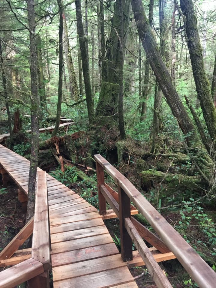
Keeha Beach Trail is a 7 km out-and-back, 3.5 km each way, from Cape Beale Trailhead to Keeha Beach. The path passes through hemlock and cedar before opening onto a crescent of Pacific shore between rocky headlands, with tide pools and sea arches at the end. Budget about three to four hours for the return walk, then leave time to explore the beach. I’d choose it for the shoreline, not a polished stroll: the route is fairly flat, but roots and slick footing can make it feel slower than its distance suggests.
 Parkwolf’s verdictIs this beach walk for you?
Map & elevation
Plan your hike

The highest, rockiest slopes around here are a summer buffet for grizzly bears.
Pacific Rim Tour Guide
Parkwolf is a GPS audio tour guide for Pacific Rim National Park Reserve. As you drive, it chimes in with what’s ahead: hidden gems, upcoming stops, history, geology, and wildlife, right through your car’s speakers.
See the Pacific Rim audio tourRecorded for this area
Pachena Bay Campground“Pachena Bay Campground is coming up, a Huu-ay-aht First Nations-operated camp beside a long sandy beach. If you're starting or finishing the West Coast Trail at its northern end, this is a handy place to spend a night.”
Plays on the road 3.2 km from the trailhead in the Parkwolf Pacific Rim Tour Guide.
More stories near here in the app
“Fantastic app with many points of information… It’s great to just turn on while you’re driving and it gives you an audio tour of the national Park. We love it!!!!”


Trail guide
The Cape Beale trailhead road is at the end of South Bamfield Road; marked parking is about 400 m up-road from the trailhead. At the junction, take the left fork and follow the east side of Kichha Lake toward Keeha Beach. This is the Keeha route, not the separate Cape Beale Lighthouse trail. The beach is your turnaround, so save some energy for the same path back.
Parks Canada describes the terrain as fairly flat, but bare roots and slippery, precarious sections are common. Hikers repeatedly report muddy stretches, which can slow the walk even without a big climb. Give yourself extra time if the ground is wet, especially on the return when tired legs are less steady.
The reward is a long crescent of sand with rocky headlands at both ends, open Pacific views, surf, tidal pools and sea arches. It’s worth slowing down at the shore instead of turning straight around. For a wide photo, include the curve and a headland so the shape of the beach comes through; the pools and arches are better close-up details.
Kichha Lake and its outflow creek provide water, but treat it before drinking. A composting toilet is at the south end of Keeha Beach, not at the trailhead. Designated overnight camping is seasonal, May 1 through September 30; campers need a backcountry permit and National Park Entry Pass, and must register at Pachena Trailhead. These requirements are for overnight stays, not a substitute for checking current park access information.
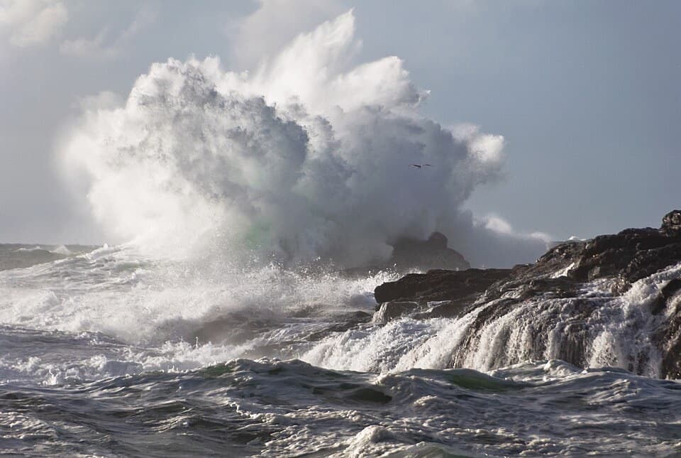
Dogs are prohibited in the West Coast Trail Unit, including the Cape Beale Headlands, except for certified service pets. Parks Canada strongly recommends that at least one person in each group carry bear spray and know how to use it. The beach is exposed to surf and changing tides, so check conditions before wandering along the shore.
Wildlife
 11 sightingsOrcaMost seen around 10 AMSighting map
 16 sightingsHumpback WhaleMost seen around 5 PMSighting map
 174 sightingsBlack BearMost seen around 8 PMSighting map
 16 sightingsSea OtterMost seen around 6 PMSighting map
 134 sightingsSteller Sea LionMost seen around 6 PMSighting map
 18 sightingsCalifornia Sea LionMost seen around noonSighting map
Sighting maps show where each species has been reported across Pacific Rim. Wildlife moves, so no sighting is guaranteed.
Keep exploring
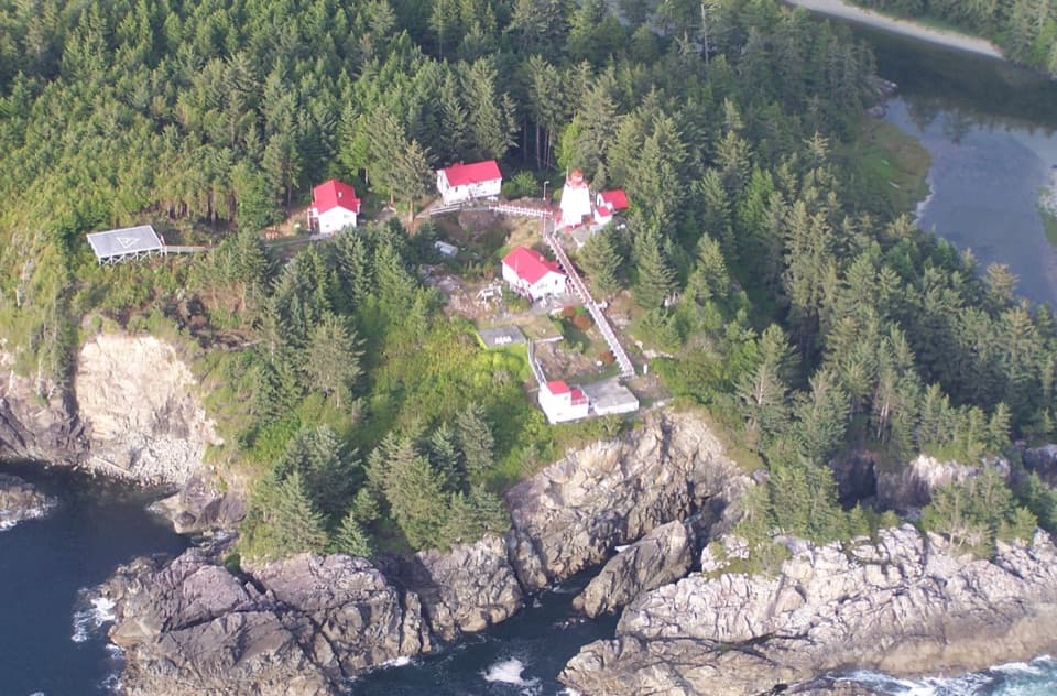 ChallengingCape Beale Lighthouse Trail14 km · 8 hr · At the trailheadThe tide sets the timing for a long walk to a lighthouse.
 ModerateTapaltos Bay Trail7 km · 3.5 hr · At the trailheadA muddy forest approach ends at a crescent beach.
 ChallengingWest Coast Trail75 km · 7 days · 3.7 km awaySeven days on a rough coast, shaped by tides, ladders and shipwrecks.
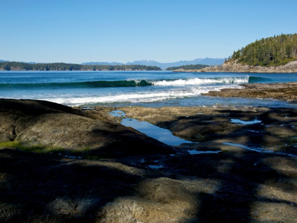 Beach · 2.3 km awayTapaltos BeachA crescent beach that takes a rough forest walk to reach.
 Campground · 3.2 km awayPachena Bay CampgroundA beachside staging camp for West Coast Trail hikers.Beach · 3.6 km awayKeeha BeachA crescent of sand earned by 7 km of muddy, rooty trail.
 Visitor center · 3.7 km awayPachena Bay West Coast Trail Orientation CentreRequired orientation and trail updates before the West Coast Trail.Sight · 5.4 km awayCape Beale LighthouseA 19th-century lightstation at the end of a tide-timed coastal hike
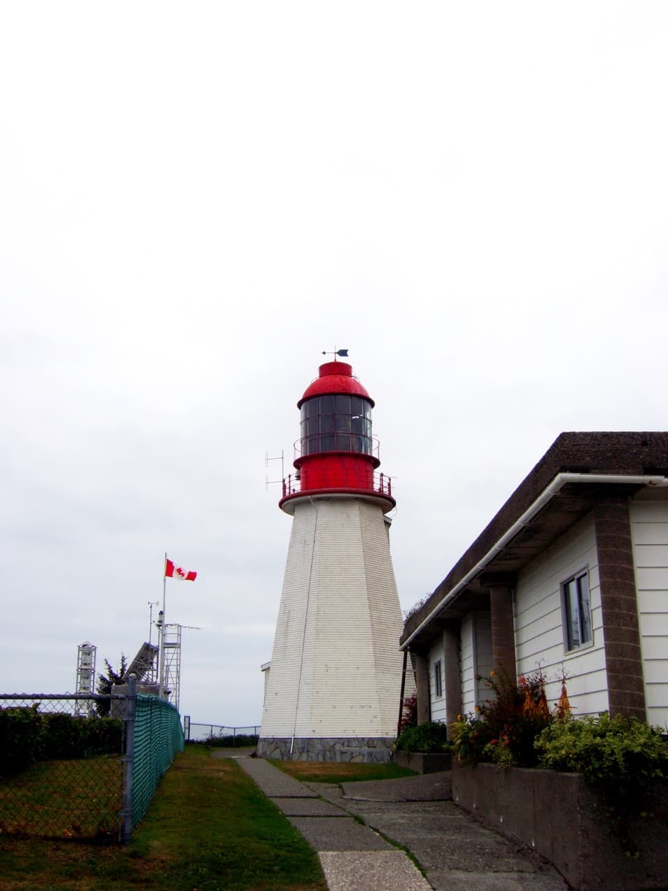 Sight · 11.1 km awayPachena Point LighthouseA 1907 lighthouse built after a deadly shipwreck.
 Campground · 11.7 km awayMichigan Creek CampgroundA shaded beach camp about 12 km into the West Coast Trail.
 Campground · 13 km awayDarling River CampA beach camp with a short detour to Darling Falls.
Parkwolf’s Pacific Rim ranking
The audio tour guide for the drive, plus offline maps, trails, and wildlife heatmaps for when the signal drops.