Parking
Begins at Boulton Creek Campground. A separate public trailhead lot and capacity were not identified; follow posted campground parking directions.
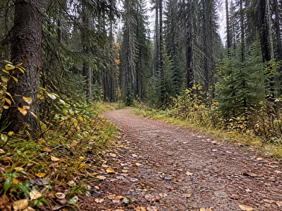
Peter Lougheed Provincial Park, AB
A steep one-way climb links Boulton with the Lookout and Pocaterra trails.
Overview
Map & elevation
Plan your hike

The highest, rockiest slopes around here are a summer buffet for grizzly bears.
Peter Lougheed Tour Guide
Parkwolf is a GPS audio tour guide for Peter Lougheed Provincial Park. As you drive, it chimes in with what’s ahead: hidden gems, upcoming stops, history, geology, and wildlife, right through your car’s speakers.
See the Peter Lougheed audio tourRecorded for this trailhead
Boulton Creek: Trading Post and Creekside Break“Boulton Creek Trading Post is coming up, a useful stop for ice cream, baked goods, or a few forgotten camping supplies. It's inside the campground, but visitors can use the shop too.”
Plays as you drive up to this trailhead in the Parkwolf Peter Lougheed Tour Guide.
More stories near here in the app
“Fantastic app with many points of information… It’s great to just turn on while you’re driving and it gives you an audio tour of the national Park. We love it!!!!”


Trail guide
Whiskey Jack Trail is a steep 3.9 km one-way climb from Boulton Creek Campground to the junction of Lookout and Pocaterra trails. Alberta Parks lists 210 m of elevation gain. It is a point-to-point connector, not a loop. Allow about 1¼ hours to reach the junction. For a standalone outing, turn around there: the return is 7.8 km total, usually about two to three hours. If you continue onto another trail, plan that added route separately.
The Kananaskis Fire Lookout is a separate destination beyond this trail, reached by continuing on other trails. Its present building was built in 1976, after an earlier structure went up in 1952. From there, the view crosses the Kananaskis lake basins toward Elk Pass and north toward the Opals. Do not count those views or distance as part of Whiskey Jack alone.
Wildlife
 132 sightingsGrizzly BearMost seen around 8 PMSighting map
 17 sightingsCanada LynxMost seen around 8 PMSighting map
 30 sightingsBlack BearMost seen around 6 AMSighting map
 69 sightingsMooseMost seen around 5 PMSighting map
 176 sightingsBighorn SheepMost seen around 6 PMSighting map
 19 sightingsBald EagleMost seen around 8 AMSighting map
Sighting maps show where each species has been reported across Peter Lougheed. Wildlife moves, so no sighting is guaranteed.
Keep exploring
 ModerateLookout Trail12.1 km · 4.5 hr · At the trailheadA forest approach reaches a steep climb and panoramic fire lookout.
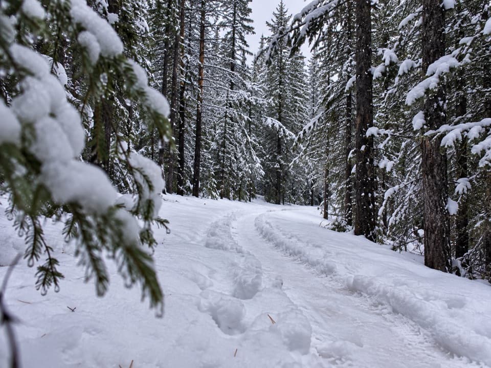 EasyTorpor Loop6.1 km · 2 hr · 0.2 km awayA winter loop linking mountain views, a lakeside path and camp loops.
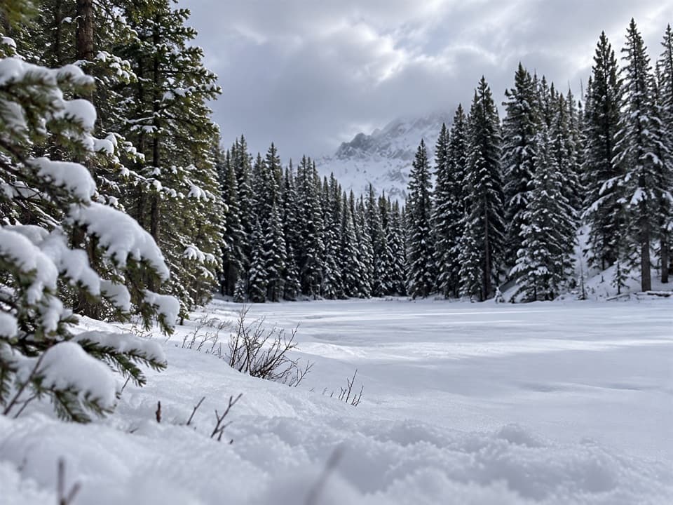 ModerateFrozen Toad Loop Snowshoe Trail8.1 km · 2.3 hr · 0.5 km awaySnowshoe through forest, frozen wetlands, and along Marl Lake.
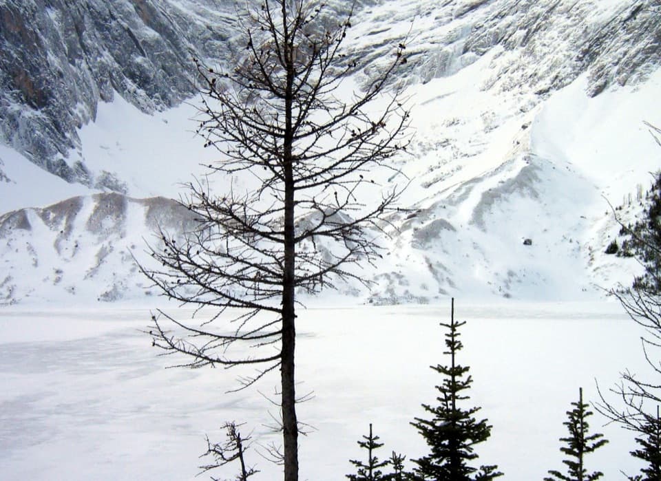 ChallengingFrozen Lake via Elk Pass14 km · 6 hr · 1.9 km awayAn alpine lake beneath Mount Fox, reached beyond the maintained pass trail.
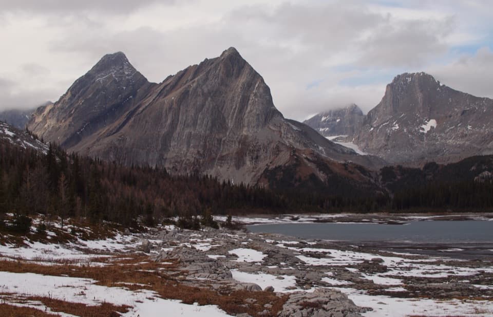 ChallengingGreat Divide Trail: Elk Pass to North Kananaskis Pass22.1 km · 10 hr · 1.9 km awayA long lakeshore approach climbs through Turbine Canyon to a high pass.
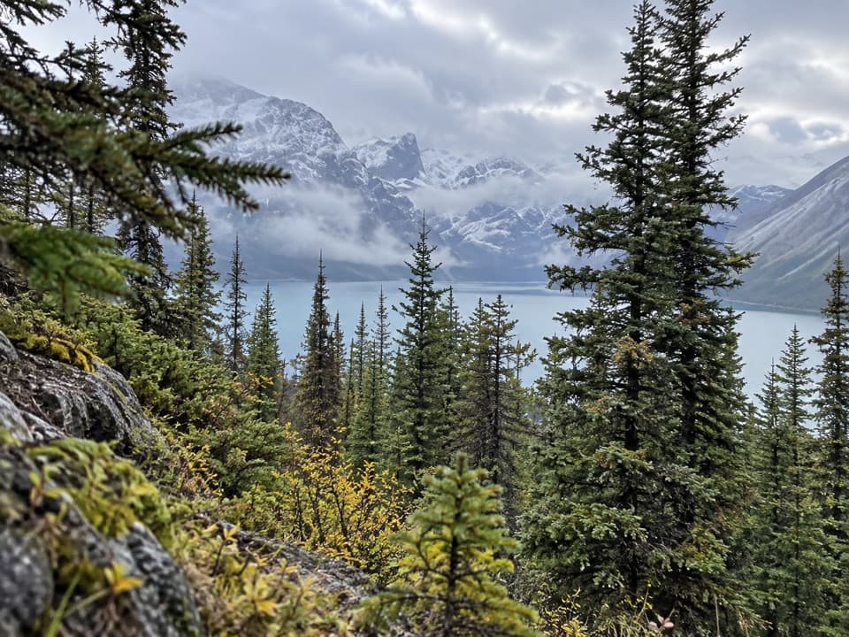 ChallengingBlueberry Hill Trail6.9 km · 3 hr · 1.9 km awayA steep snowshoe climb to views over two mountain lakes.
 ModerateElk Pass Trail11.2 km · 3.5 hr · 1.9 km awayA gradual old road climbs to a meadow at West Elk Pass.
 ModerateElk Pass Snowshoe Trail11.6 km · 3.5 hr · 2 km awayA winter snowshoe route from Elk Pass Day Use to the pass.
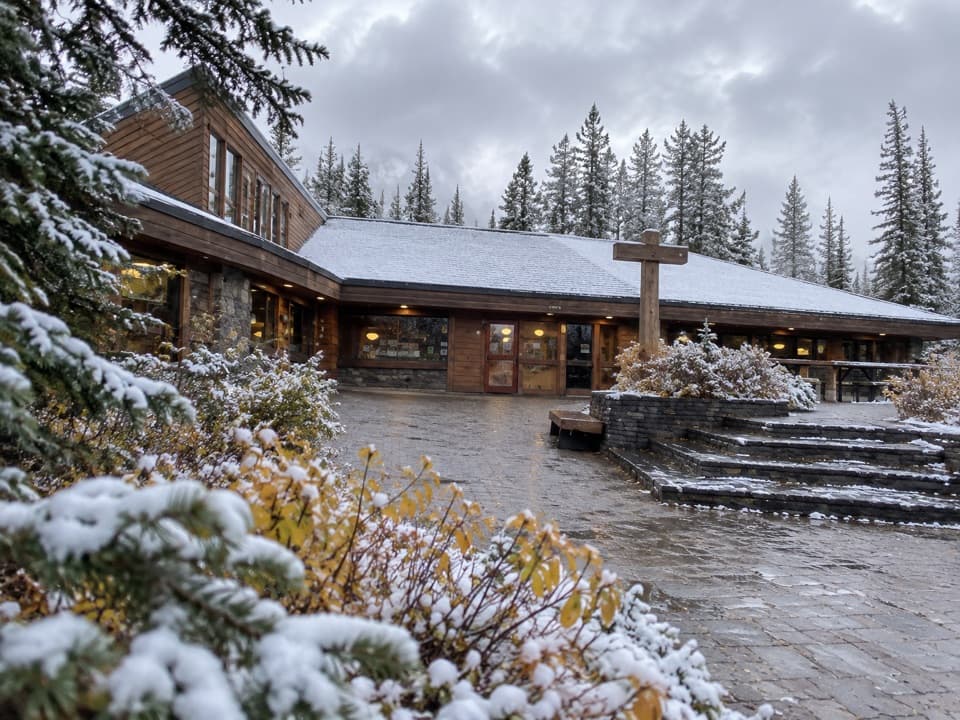 Store · At the trailheadBoulton Creek Trading PostGroceries, campground basics, rentals and ice cream in one stop.
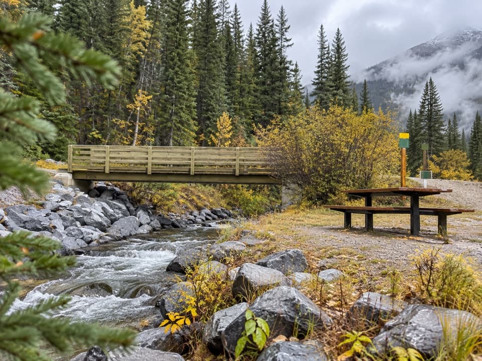 Picnic area · 0.2 km awayBoulton Bridge Day Use AreaA creekside picnic stop with an almost 5 km trail nearby
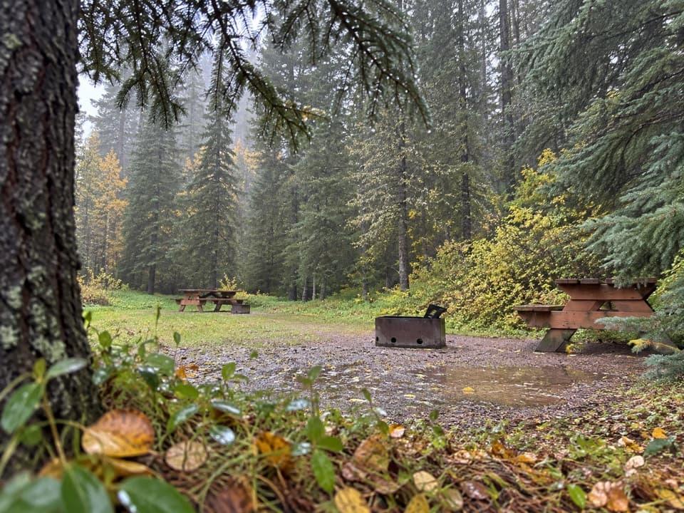 Campground · 0.6 km awayBoulton Creek CampgroundA wooded base camp with walk-in tents and full RV hookups.
 Campground · 0.7 km awayLower Lake Group CampgroundA shared shelter and room for up to 15 camping units.
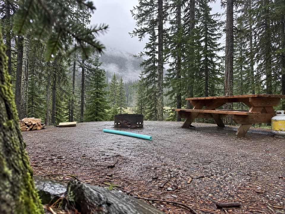 Campground · 0.8 km awayLower Lake CampgroundWooded camping near the lakes; check water and site details.
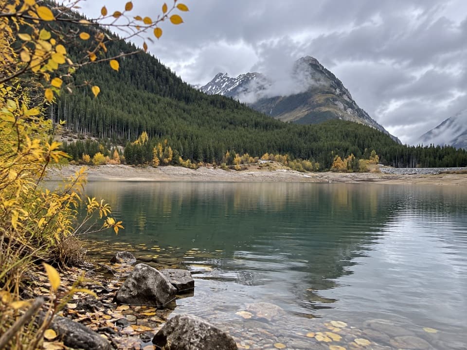 Picnic area · 0.8 km awayLower Lake Day Use AreaA winter picnic with mountain views across Lower Kananaskis Lake.
 Campground · 1.7 km awayInterlakes CampgroundAn unserviced campground with a hand launch on Lower Kananaskis Lake.
 Campground · 2.1 km awayMount Sarrail Walk-in Tenting CampgroundA 44-site, tent-only camp near Kananaskis Lakes.
Parkwolf’s Peter Lougheed ranking

The audio tour guide for the drive, plus offline maps, trails, and wildlife heatmaps for when the signal drops.





