Parking
Begin at North Interlakes Day Use Area beside Upper Kananaskis Lake. Use its main parking area; the stored route starts on the signed Upper Lake Circuit just south of the lot.

Peter Lougheed Provincial Park, AB
A strenuous alpine loop with exposed scrambling and big lake views.
Overview
Northover Ridge Loop is a 21-mile (33.8-km) circuit from North Interlakes that links the Upper Kananaskis Lake approach, Aster Lake’s rough alpine basin, the exposed Northover Ridge crossing and Three Isle Lake before returning to the same access. It’s a strong choice for experienced backpackers who want a serious ridge traverse on a mapped circuit; it’s a poor pick for a casual lake walk or a first overnight hike. This is the Aster-to-Three-Isle loop, not the Great Divide Trail’s longer alternate or a Mount Northover summit attempt.
 Parkwolf’s verdictShould you take on this loop?
Map & elevation
Plan your hike

The highest, rockiest slopes around here are a summer buffet for grizzly bears.
Peter Lougheed Tour Guide
Parkwolf is a GPS audio tour guide for Peter Lougheed Provincial Park. As you drive, it chimes in with what’s ahead: hidden gems, upcoming stops, history, geology, and wildlife, right through your car’s speakers.
See the Peter Lougheed audio tourRecorded for this trailhead
North Interlakes and Panorama: Two Lake Views“North Interlakes Day Use Area is coming up, with a broad view across Upper Kananaskis Lake without a hike.”
Plays as you drive up to this trailhead in the Parkwolf Peter Lougheed Tour Guide.
More stories near here in the app
“Fantastic app with many points of information… It’s great to just turn on while you’re driving and it gives you an audio tour of the national Park. We love it!!!!”


Trail guide
Most backpackers split the circuit across two or three days, usually camping at Aster and Three Isle. Budget about 14–16 hours of hiking, plus long stops and camp time. The 21 miles count the full closed loop, including the North Interlakes approaches and return connector, rather than just the ridge. Published totals vary around 33–35 km as descriptions count those connectors differently; the mapped line is 33.8 km and closely matches a 33.7-km loop description. The distance feels bigger than a smooth 21-mile path because much of the ground is rough and the ridge comes after a long climb.
From North Interlakes, follow the Upper Kananaskis Lake circuit before climbing away from the shore toward Aster Lake. The lakeside approach is easier walking; the route gets much rougher as it climbs the creek basin. Above treeline, the tread thins across loose rock and scree. Near Aster, cairns matter: the line can fade into the stones, and a wrong turn can send you toward Warrior Mountain instead of the ridge route. Slow down when the path disappears and keep the basin and route direction in view.
The link from Aster toward Three Isle crosses steep scree to a high, broken ridge above 2,700 metres. The scenery opens onto alpine basins, snowfields, glaciers and sharp peaks, but the crossing is the price of admission: expect loose footing, a short hands-on step and narrow, exposed sections. This is not a maintained, marked mountain path all the way. Give the ridge a generous weather window; if cloud, wind or lightning builds, turn back before you are committed on exposed ground.
After the ridge, the route drops steeply on loose scree toward Three Isle Lake. Watch each step and stay with the cairned line; it’s a tiring descent after the climb. The backcountry campground sits near the water below Mount Worthington, a welcome change from bare rock. From there, the Three Isle Trail and Upper Kananaskis Lake paths lead back to North Interlakes.
Aster and Three Isle are backcountry campgrounds with pit toilets and secure food lockers; fires aren’t permitted. Backcountry camping requires a permit, and reserve a site ahead if you’re planning to sleep at either campground. Bring what you need between camps; there are no road-access services on the loop. Dogs are allowed in the park on leash, but the steep scree and exposed ridge make this a poor choice for most pets.
The Aster approach is unmaintained, and snow can linger on the higher ground after the lower trail has cleared. The route is best suited to the snow-free summer window; early snow or a storm can make faint tread and cairns harder to follow. Carry a map and compass or a reliable offline route, and have enough time to turn around if visibility or footing worsens.
From the ridge, the view stretches across broken rock basins, snowfields and peaks, with Aster Lake and Three Isle Lake anchoring the two sides of the crossing. For a photo, include a bit of the trail or snowfield in the foreground so the scale of the basin comes through. The lake shore and campground are a gentler place to linger once you’re off the exposed crest.
Wildlife
 132 sightingsGrizzly BearMost seen around 8 PMSighting map
 17 sightingsCanada LynxMost seen around 8 PMSighting map
 30 sightingsBlack BearMost seen around 6 AMSighting map
 69 sightingsMooseMost seen around 5 PMSighting map
 176 sightingsBighorn SheepMost seen around 6 PMSighting map
 19 sightingsBald EagleMost seen around 8 AMSighting map
Sighting maps show where each species has been reported across Peter Lougheed. Wildlife moves, so no sighting is guaranteed.
Keep exploring
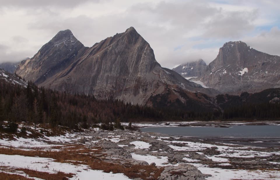 ChallengingNorth Kananaskis Pass via Maude-Lawson Trail35.2 km · 13 hr · At the trailheadA long climb through larch meadows to a remote Continental Divide pass.ChallengingTurbine Canyon Trail30.2 km · 11 hr · At the trailheadA long lakeshore approach climbs to a forested backcountry camp.
 ChallengingInvincible Lake Trail15.1 km · 7.5 hr · At the trailheadA steep ridge crossing to a lake hidden behind a grassy rise.
 ChallengingThree Isle Lake Trail24.1 km · 9 hr · At the trailheadA long forest hike climbs to a lake beneath Mount Worthington.
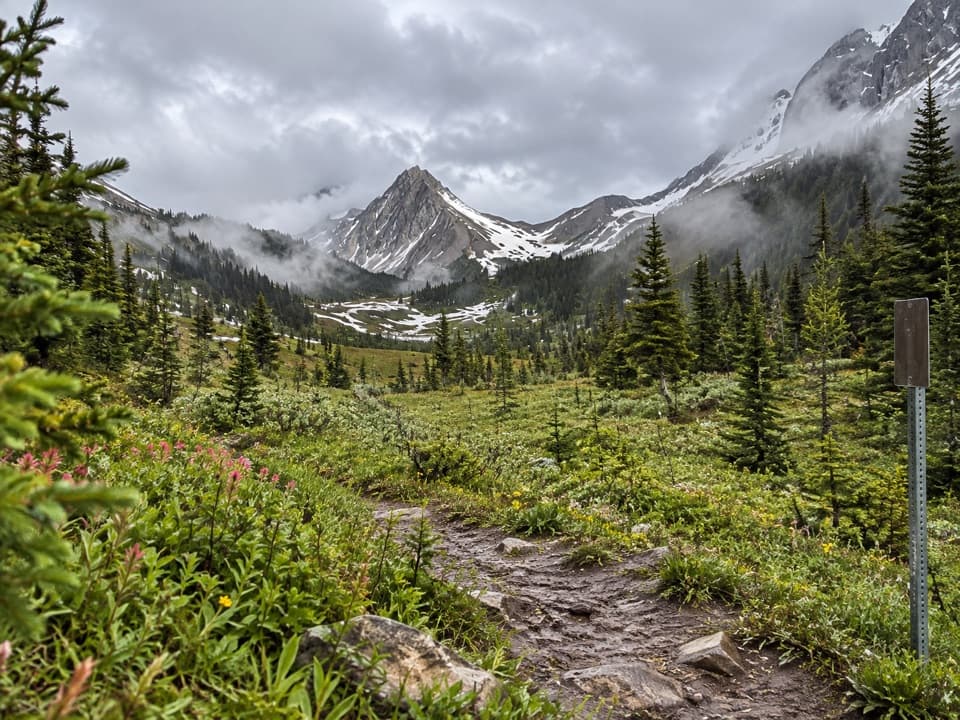 ChallengingNorth and South Kananaskis Pass Loop43.5 km · 21.5 hr · At the trailhead43 km loop over two passes, alpine lakes and rough creek crossings
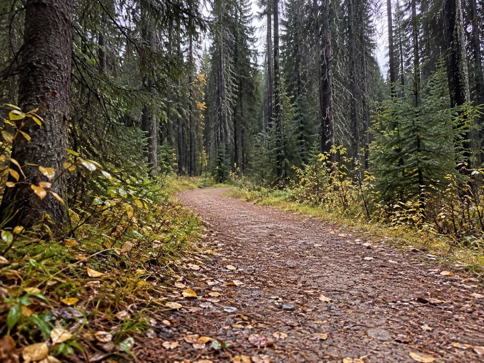 ModerateWhiskey Jack Trail3.9 km · 1.3 hr · 2.3 km awayA steep one-way climb links Boulton with the Lookout and Pocaterra trails.
 ModerateLookout Trail12.1 km · 4.5 hr · 2.3 km awayA forest approach reaches a steep climb and panoramic fire lookout.
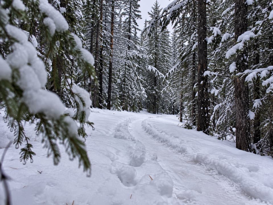 EasyTorpor Loop6.1 km · 2 hr · 2.3 km awayA winter loop linking mountain views, a lakeside path and camp loops.
 Picnic area · At the trailheadNorth Interlakes Day Use AreaWide lake views from a simple shoreline picnic stop.
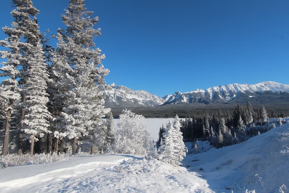 Sight · 0.2 km awayPanorama Day Use AreaA quick Lower Lake view framed by the Wintour Range.
 Campground · 0.9 km awayInterlakes CampgroundAn unserviced campground with a hand launch on Lower Kananaskis Lake.
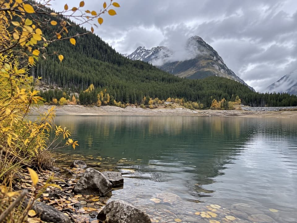 Picnic area · 1.4 km awayLower Lake Day Use AreaA winter picnic with mountain views across Lower Kananaskis Lake.
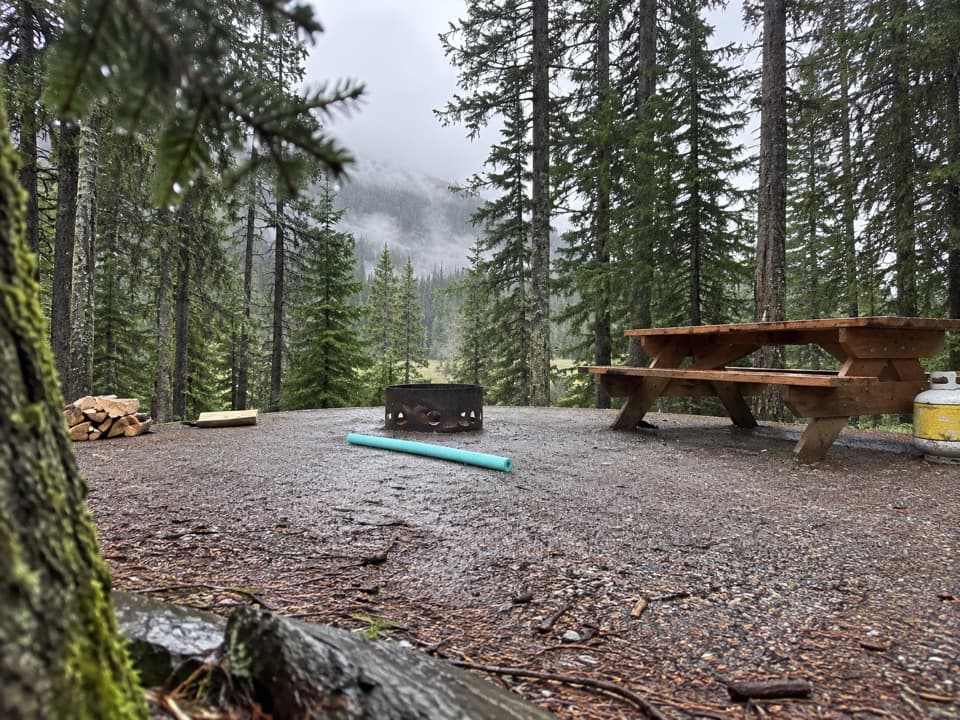 Campground · 1.5 km awayLower Lake CampgroundWooded camping near the lakes; check water and site details.
 Campground · 1.7 km awayLower Lake Group CampgroundA shared shelter and room for up to 15 camping units.
 Campground · 2 km awayMount Sarrail Walk-in Tenting CampgroundA 44-site, tent-only camp near Kananaskis Lakes.
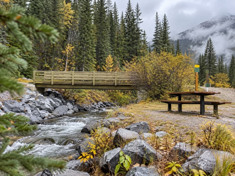 Picnic area · 2.3 km awayBoulton Bridge Day Use AreaA creekside picnic stop with an almost 5 km trail nearby
Parkwolf’s Peter Lougheed ranking
The audio tour guide for the drive, plus offline maps, trails, and wildlife heatmaps for when the signal drops.





