Best time to go
The water pump and tap usually operate from June to early September, weather permitting. Bring your own water during the shoulder seasons instead of relying on either source.

Campground · Peter Lougheed Provincial Park
A shared shelter and room for up to 15 camping units.
Overview
Map
Plan your stop

The highest, rockiest slopes around here are a summer buffet for grizzly bears.
Peter Lougheed Tour Guide
Parkwolf is a GPS audio tour guide for Peter Lougheed Provincial Park. As you drive, it chimes in with what’s ahead: hidden gems, upcoming stops, history, geology, and wildlife, right through your car’s speakers.
See the Peter Lougheed audio tourRecorded for this area
Lower Lake Day Use: A Winter Lakeshore Stop“You're coming up on Lower Lake Day Use Area, a winter lakeshore stop open from December through March.”
Plays on the road 0.4 km from Lower Lake Group Campground in the Parkwolf Peter Lougheed Tour Guide.
More stories near here in the app
“Fantastic app with many points of information… It’s great to just turn on while you’re driving and it gives you an audio tour of the national Park. We love it!!!!”


Guide
Lower Lake Group Campground is a reservable group-use camping area, separate from the nearby Lower Lake Campground with individual sites. Capacity is up to 15 camping units, counted in 50-foot units including each tow vehicle, so plan around the group limit when arranging your stay.
The group area has a picnic shelter, firepits, firewood and vault toilets. Winter camping and cross-country skiing are also listed uses for the area.
Wildlife
 132 sightingsGrizzly BearMost seen around 8 PMSighting map
 17 sightingsCanada LynxMost seen around 8 PMSighting map
 30 sightingsBlack BearMost seen around 6 AMSighting map
 69 sightingsMooseMost seen around 5 PMSighting map
 176 sightingsBighorn SheepMost seen around 6 PMSighting map
 19 sightingsBald EagleMost seen around 8 AMSighting map
Sighting maps show where each species has been reported across Peter Lougheed. Wildlife moves, so no sighting is guaranteed.
Keep exploring
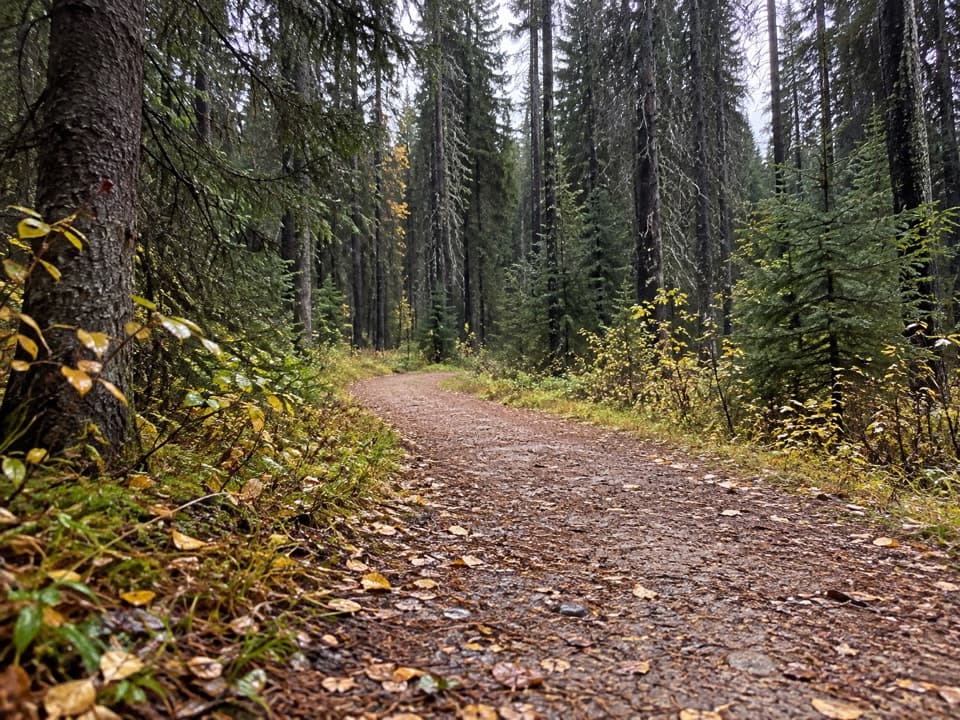 ModerateWhiskey Jack Trail3.9 km · 1.3 hr · 0.7 km awayA steep one-way climb links Boulton with the Lookout and Pocaterra trails.
 ModerateLookout Trail12.1 km · 4.5 hr · 0.7 km awayA forest approach reaches a steep climb and panoramic fire lookout.
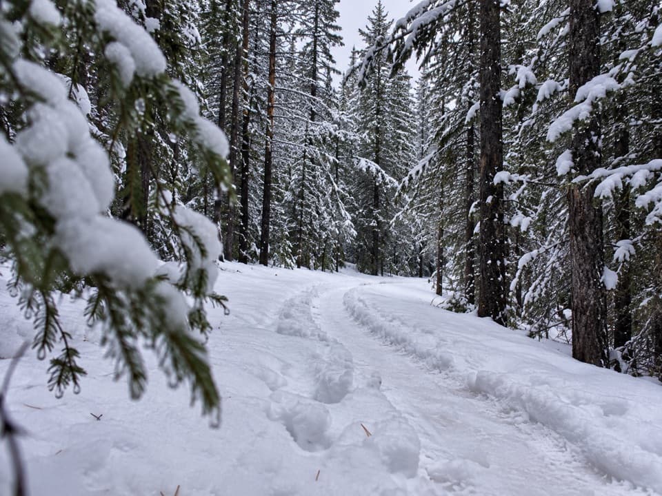 EasyTorpor Loop6.1 km · 2 hr · 0.8 km awayA winter loop linking mountain views, a lakeside path and camp loops.
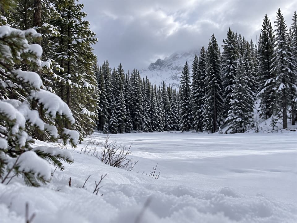 ModerateFrozen Toad Loop Snowshoe Trail8.1 km · 2.3 hr · 1.1 km awaySnowshoe through forest, frozen wetlands, and along Marl Lake.
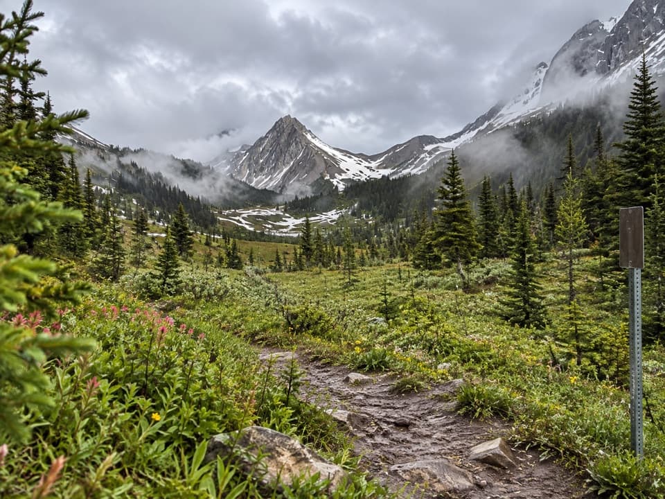 ChallengingNorth and South Kananaskis Pass Loop43.5 km · 21.5 hr · 1.7 km away43 km loop over two passes, alpine lakes and rough creek crossings
 ChallengingThree Isle Lake Trail24.1 km · 9 hr · 1.7 km awayA long forest hike climbs to a lake beneath Mount Worthington.
 ChallengingInvincible Lake Trail15.1 km · 7.5 hr · 1.7 km awayA steep ridge crossing to a lake hidden behind a grassy rise.
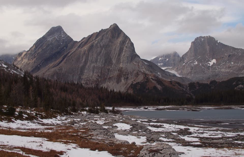 ChallengingNorth Kananaskis Pass via Maude-Lawson Trail35.2 km · 13 hr · 1.7 km awayA long climb through larch meadows to a remote Continental Divide pass.
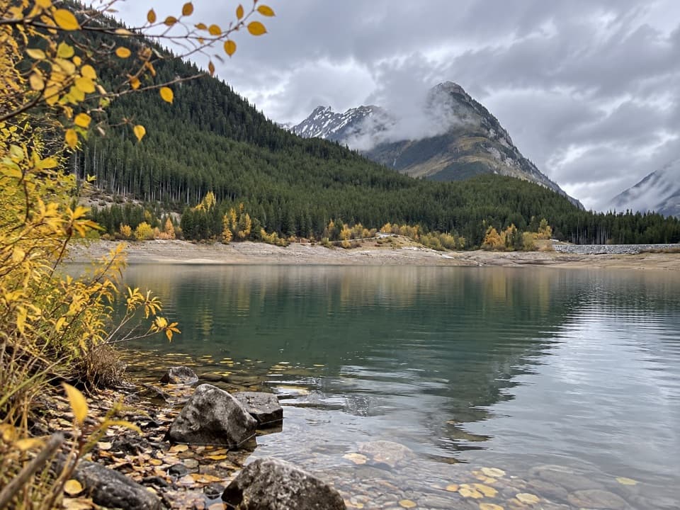 Picnic area · 0.4 km awayLower Lake Day Use AreaA winter picnic with mountain views across Lower Kananaskis Lake.
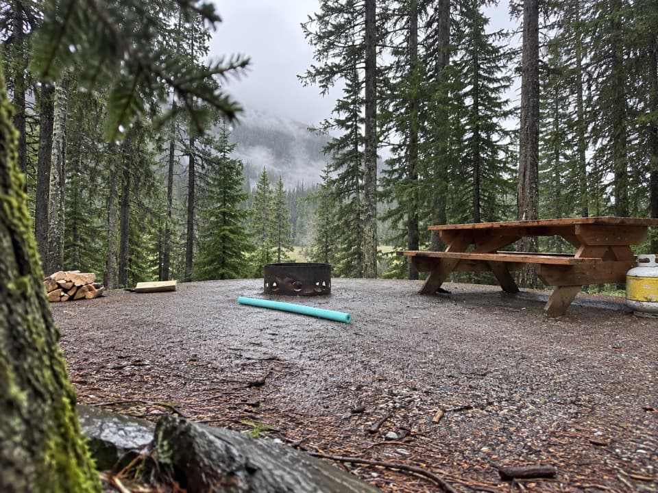 Campground · 0.6 km awayLower Lake CampgroundWooded camping near the lakes; check water and site details.
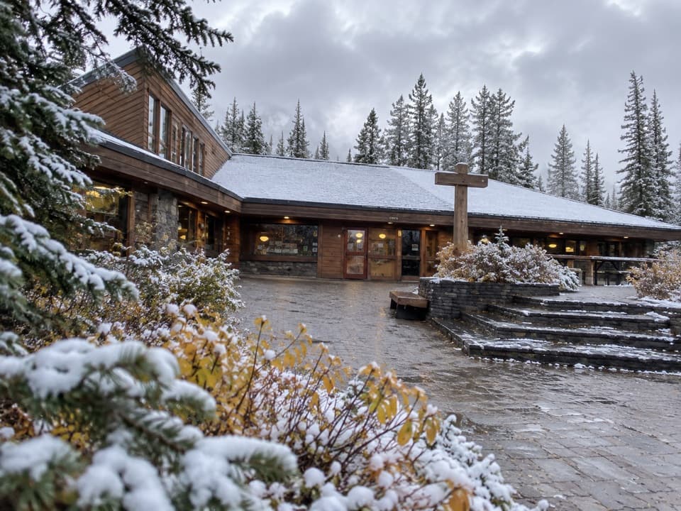 Store · 0.7 km awayBoulton Creek Trading PostGroceries, campground basics, rentals and ice cream in one stop.
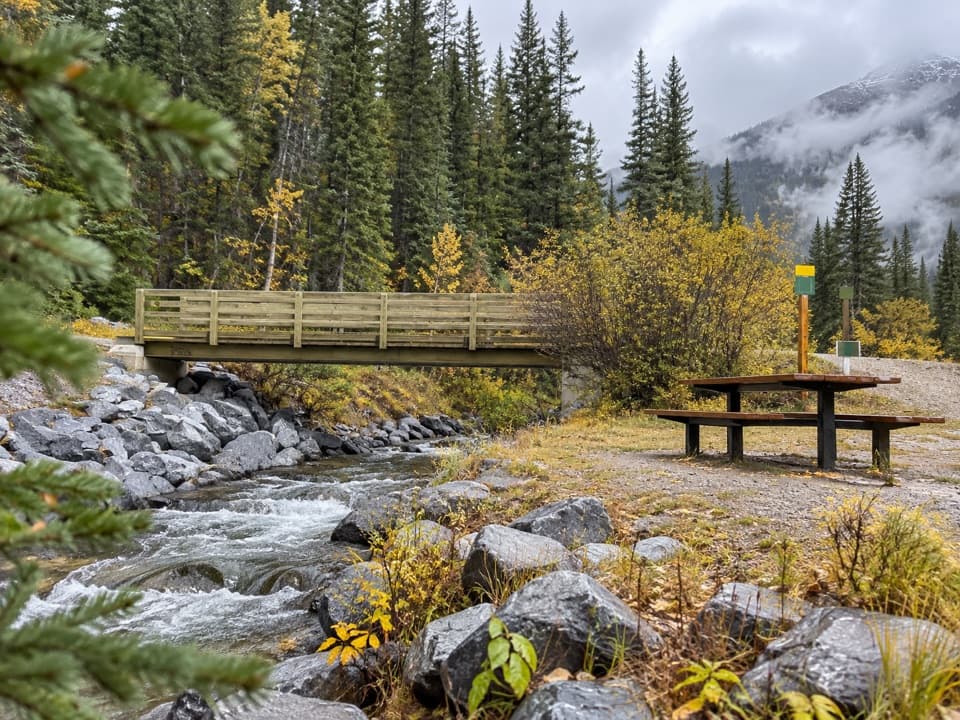 Picnic area · 0.8 km awayBoulton Bridge Day Use AreaA creekside picnic stop with an almost 5 km trail nearby
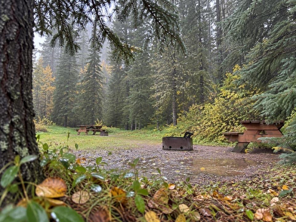 Campground · 1.3 km awayBoulton Creek CampgroundA wooded base camp with walk-in tents and full RV hookups.
 Campground · 1.4 km awayInterlakes CampgroundAn unserviced campground with a hand launch on Lower Kananaskis Lake.
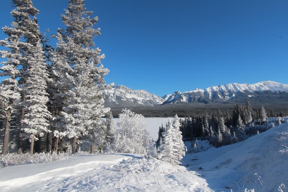 Sight · 1.5 km awayPanorama Day Use AreaA quick Lower Lake view framed by the Wintour Range.
 Picnic area · 1.7 km awayNorth Interlakes Day Use AreaWide lake views from a simple shoreline picnic stop.
Parkwolf’s Peter Lougheed ranking

The audio tour guide for the drive, plus offline maps, trails, and wildlife heatmaps for when the signal drops.