Parking
Start at North Interlakes Day Use Area and follow the Three Isle Lake Trail from its day-use lot. A pit toilet is available there; no overflow parking was verified.

Peter Lougheed Provincial Park, AB
A steep ridge crossing to a lake hidden behind a grassy rise.
Overview
Map & elevation
Plan your hike

The highest, rockiest slopes around here are a summer buffet for grizzly bears.
Peter Lougheed Tour Guide
Parkwolf is a GPS audio tour guide for Peter Lougheed Provincial Park. As you drive, it chimes in with what’s ahead: hidden gems, upcoming stops, history, geology, and wildlife, right through your car’s speakers.
See the Peter Lougheed audio tourRecorded for this trailhead
North Interlakes and Panorama: Two Lake Views“North Interlakes Day Use Area is coming up, with a broad view across Upper Kananaskis Lake without a hike.”
Plays as you drive up to this trailhead in the Parkwolf Peter Lougheed Tour Guide.
More stories near here in the app
“Fantastic app with many points of information… It’s great to just turn on while you’re driving and it gives you an audio tour of the national Park. We love it!!!!”


Trail guide
This out-and-back leaves North Interlakes for Invincible Lake, following the Three Isle Lake Trail before turning onto an informal route through an old fire-road corridor and over a steep ridge. Allow about 9.4 miles (15 km) round trip and roughly 7.5 hours. Both are estimates from the mapped line and older hike accounts; the recorded 15.4 km figure is labeled one way, but the accounts describe a return outing and do not confirm that distance. Expect a strenuous day with deadfall, a steep climb and uncertain route-finding beyond the maintained trail.
The approach begins on the established trail along Upper Kananaskis Lake. At Invincible Creek, accounts describe leaving it for an overgrown former fire road where fallen timber slows progress. A steep, direct climb through an old burn gains roughly 500 metres from the road to the ridge. The ground is rough and loose, and the old corridor is not a maintained walking trail. The mapped line is a best-supported route, not a confirmed current track for this informal section.
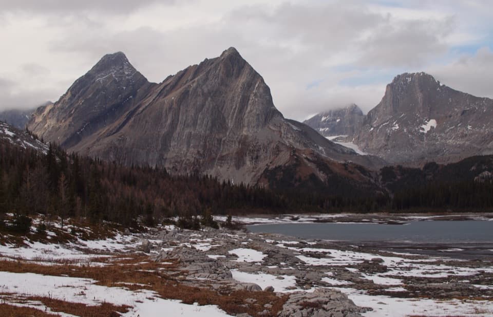
After the ridge, the reported route drops toward a rocky creek bed, then climbs a small grassy rise. The lake is partly hidden until you crest it, with Mount Nomad’s west slopes and a long scree ridge above the basin. The lake is the turnaround for this trail. A Mount Nomad summit climb or a traverse beyond the lake is a separate extension and is not included in the distance or route here. For a photo, include the low shoreline rocks and the pointed peak above the lake to show how tightly the basin sits beneath the ridge.
The approach past the maintained Three Isle Lake corridor is informal; current conditions and public access for the entire route have not been confirmed. Check with Alberta Parks before setting out and do not assume the mapped line is maintained or open. There is a pit toilet at North Interlakes Day Use Area, but no food or potable water was verified along the route. Dogs are allowed in the park and must stay on a leash no longer than 2 metres.
Wildlife
 132 sightingsGrizzly BearMost seen around 8 PMSighting map
 17 sightingsCanada LynxMost seen around 8 PMSighting map
 30 sightingsBlack BearMost seen around 6 AMSighting map
 69 sightingsMooseMost seen around 5 PMSighting map
 176 sightingsBighorn SheepMost seen around 6 PMSighting map
 19 sightingsBald EagleMost seen around 8 AMSighting map
Sighting maps show where each species has been reported across Peter Lougheed. Wildlife moves, so no sighting is guaranteed.
Keep exploring
 ChallengingNorth Kananaskis Pass via Maude-Lawson Trail35.2 km · 13 hr · At the trailheadA long climb through larch meadows to a remote Continental Divide pass.ChallengingTurbine Canyon Trail30.2 km · 11 hr · At the trailheadA long lakeshore approach climbs to a forested backcountry camp.
 ChallengingNorthover Ridge Loop33.8 km · 15 hr · At the trailheadA strenuous alpine loop with exposed scrambling and big lake views.
 ChallengingThree Isle Lake Trail24.1 km · 9 hr · At the trailheadA long forest hike climbs to a lake beneath Mount Worthington.
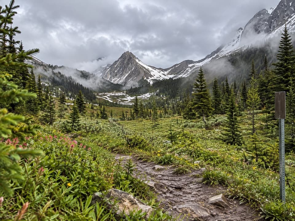 ChallengingNorth and South Kananaskis Pass Loop43.5 km · 21.5 hr · At the trailhead43 km loop over two passes, alpine lakes and rough creek crossings
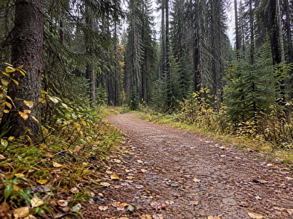 ModerateWhiskey Jack Trail3.9 km · 1.3 hr · 2.2 km awayA steep one-way climb links Boulton with the Lookout and Pocaterra trails.
 ModerateLookout Trail12.1 km · 4.5 hr · 2.3 km awayA forest approach reaches a steep climb and panoramic fire lookout.
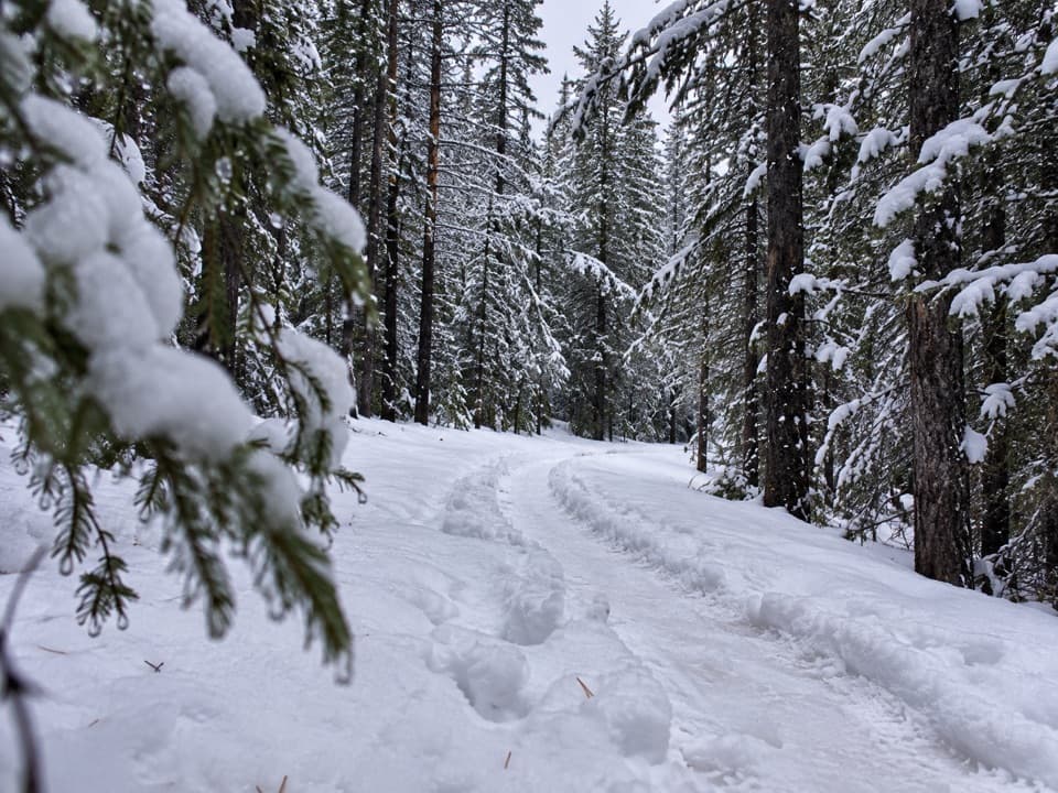 EasyTorpor Loop6.1 km · 2 hr · 2.3 km awayA winter loop linking mountain views, a lakeside path and camp loops.
 Picnic area · At the trailheadNorth Interlakes Day Use AreaWide lake views from a simple shoreline picnic stop.
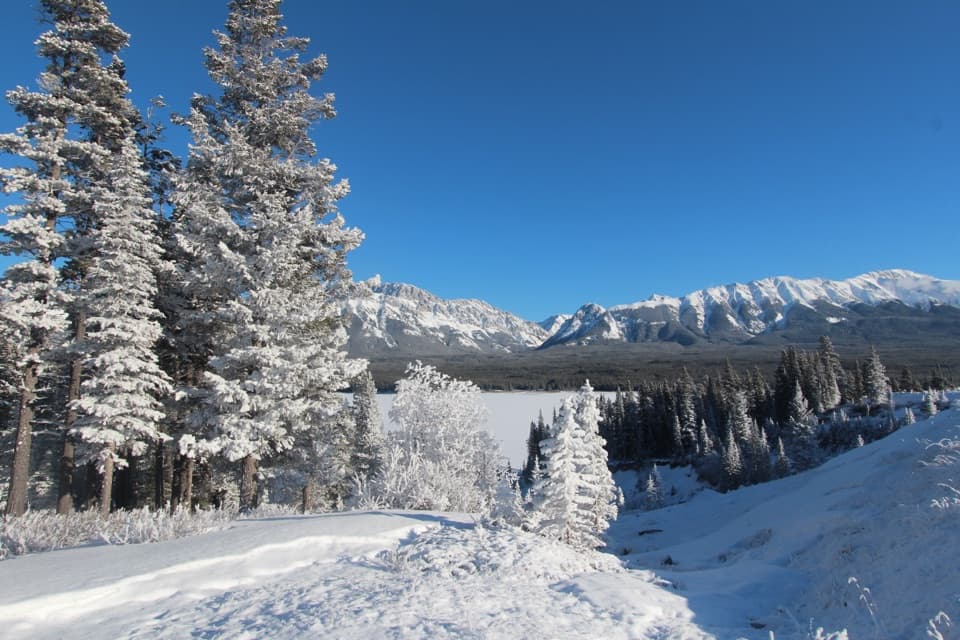 Sight · 0.2 km awayPanorama Day Use AreaA quick Lower Lake view framed by the Wintour Range.
 Campground · 0.9 km awayInterlakes CampgroundAn unserviced campground with a hand launch on Lower Kananaskis Lake.
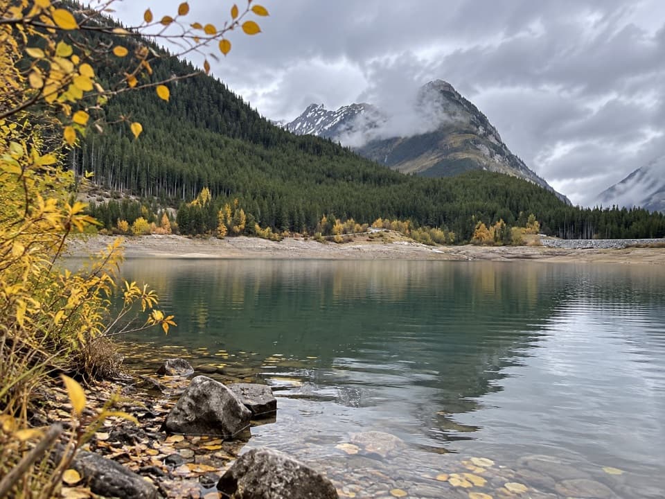 Picnic area · 1.4 km awayLower Lake Day Use AreaA winter picnic with mountain views across Lower Kananaskis Lake.
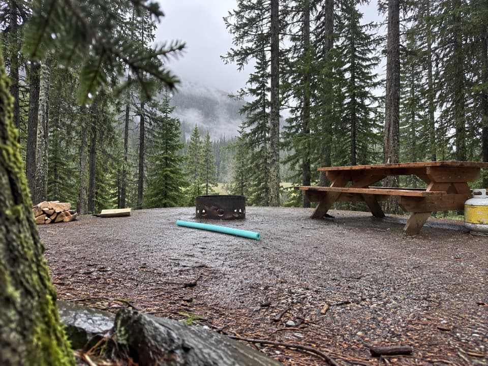 Campground · 1.5 km awayLower Lake CampgroundWooded camping near the lakes; check water and site details.
 Campground · 1.7 km awayLower Lake Group CampgroundA shared shelter and room for up to 15 camping units.
 Campground · 2 km awayMount Sarrail Walk-in Tenting CampgroundA 44-site, tent-only camp near Kananaskis Lakes.
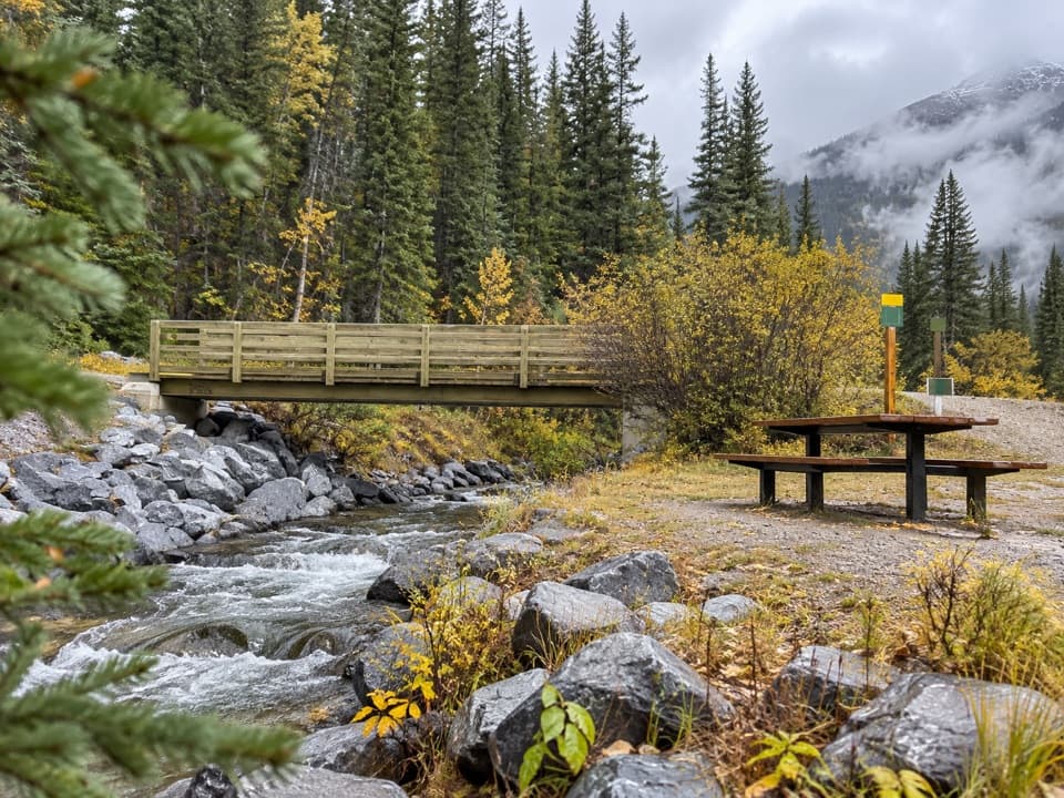 Picnic area · 2.3 km awayBoulton Bridge Day Use AreaA creekside picnic stop with an almost 5 km trail nearby
Parkwolf’s Peter Lougheed ranking

The audio tour guide for the drive, plus offline maps, trails, and wildlife heatmaps for when the signal drops.





