Parking
Start at Upper Kananaskis Lake Day Use Area, the vehicle access Alberta Parks names for the Aster Lake approach.
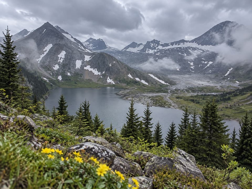
Peter Lougheed Provincial Park, AB
A full-day climb from forested shoreline to an alpine lake.
Overview
Map & elevation
Plan your hike

The highest, rockiest slopes around here are a summer buffet for grizzly bears.
Peter Lougheed Tour Guide
Parkwolf is a GPS audio tour guide for Peter Lougheed Provincial Park. As you drive, it chimes in with what’s ahead: hidden gems, upcoming stops, history, geology, and wildlife, right through your car’s speakers.
See the Peter Lougheed audio tourRecorded for this trailhead
Upper Lake: Shoreline and Sarrail Falls“You're coming up on Upper Lake Day Use Area, where you can enjoy the mountain view without taking on a long hike.”
Plays as you drive up to this trailhead in the Parkwolf Peter Lougheed Tour Guide.
More stories near here in the app
“Fantastic app with many points of information… It’s great to just turn on while you’re driving and it gives you an audio tour of the national Park. We love it!!!!”


Trail guide
Aster Lake Trail is a demanding out-and-back from Upper Kananaskis Lake Day Use to Aster Lake. Alberta Parks lists 10.8 km one way, or 21.6 km return, with 860 m of cumulative gain and a hard rating. The route follows the south shore of Upper Kananaskis Lake, passes Hidden Lake, then climbs into the alpine basin. Plan roughly nine hours for the return; that is a conservative planning estimate, not an official time. The first part feels like a lakeshore walk, but the steep, unmaintained upper route makes this a hike for experienced, self-sufficient hikers who are comfortable navigating away from maintained trails.
The first stretch is wide and gentle, close to the water, with short paths through the trees to small beaches. You pass shared access to popular waterfalls and the Rawson Lake junction; hikers report the route getting quieter beyond Rawson. Around five kilometres in, the turn toward Hidden Lake steepens and the tread becomes more overgrown. Keep track of the junctions: this is a route-finding hike, not a continuously signed day-use path.
Hidden Lake is a good place to stop before the hardest part. Fossil Falls lies above it; you may hear the water before you can see the falls. The climb beyond the lake is steep and increasingly loose, with exposed scree and occasional short sections where you’ll use your hands. The path can be faint, so follow the landform and your navigation rather than expecting a polished trail surface. Cold mountain streams appear on the ascent, but don’t count on them as your only water source.
Once you climb above the trees, the route reveals the scale of the basin. Look back for Mount Indefatigable and Mount Sarrail above the Kananaskis Lakes far below. The grade eases after the headwall, through alpine meadows and patches of trees, before reaching Aster Lake and its backcountry campground. This is a rewarding place to pause and take in the lake against the rocky peaks; the return repeats the same route, including the exposed descent.
Alberta Parks describes the Aster approach as unmaintained and suitable only for experienced hikers prepared to route-find and fend for themselves. This is grizzly country; carry bear spray and know how to use it. Snow can linger into summer and return early, and alpine weather changes quickly. August is often the best window, but check current park conditions before committing. Aster Lake is not a casual extension of the easier shoreline walk.
The campground has six sites and requires advance reservations. Alberta Parks lists pit toilets, secure food storage, grey-water disposal and a creek water source; treat water before drinking. Fires aren’t permitted, and no food service was found along the route. The hike starts from Upper Kananaskis Lake Day Use. The full-route pet rule could not be verified, so check with Alberta Parks before bringing a dog.
Wildlife
 132 sightingsGrizzly BearMost seen around 8 PMSighting map
 17 sightingsCanada LynxMost seen around 8 PMSighting map
 30 sightingsBlack BearMost seen around 6 AMSighting map
 69 sightingsMooseMost seen around 5 PMSighting map
 176 sightingsBighorn SheepMost seen around 6 PMSighting map
 19 sightingsBald EagleMost seen around 8 AMSighting map
Sighting maps show where each species has been reported across Peter Lougheed. Wildlife moves, so no sighting is guaranteed.
Keep exploring
 ModerateRawson Lake Trail7.8 km · 3.5 hr · At the trailheadLakeshore, falls, then a steady climb to a mountain-ringed lake.
 ChallengingSarrail Ridge via Rawson Lake11.7 km · 5.5 hr · At the trailheadThe lake is the breather before a loose, steep ridge climb.
 ModerateUpper Kananaskis Lake Loop15.7 km · 5 hr · 0.2 km awayWaterfalls, forest and a long walk around a mountain lake.
 ModerateElk Pass Snowshoe Trail11.6 km · 3.5 hr · 0.8 km awayA winter snowshoe route from Elk Pass Day Use to the pass.
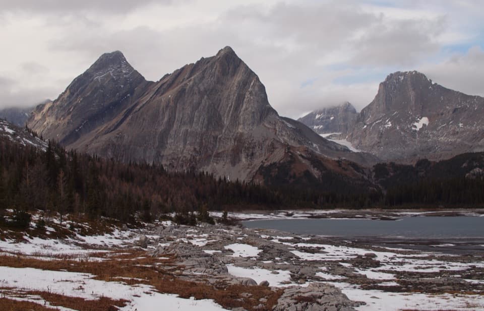 ChallengingGreat Divide Trail: Elk Pass to North Kananaskis Pass22.1 km · 10 hr · 0.9 km awayA long lakeshore approach climbs through Turbine Canyon to a high pass.
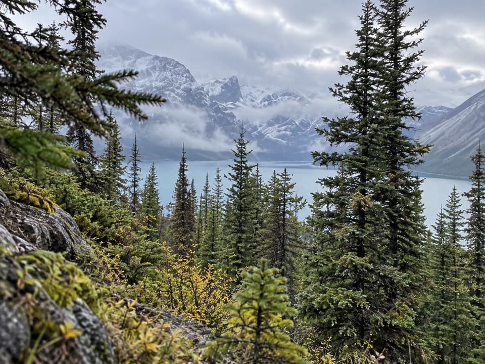 ChallengingBlueberry Hill Trail6.9 km · 3 hr · 0.9 km awayA steep snowshoe climb to views over two mountain lakes.
 ModerateElk Pass Trail11.2 km · 3.5 hr · 0.9 km awayA gradual old road climbs to a meadow at West Elk Pass.
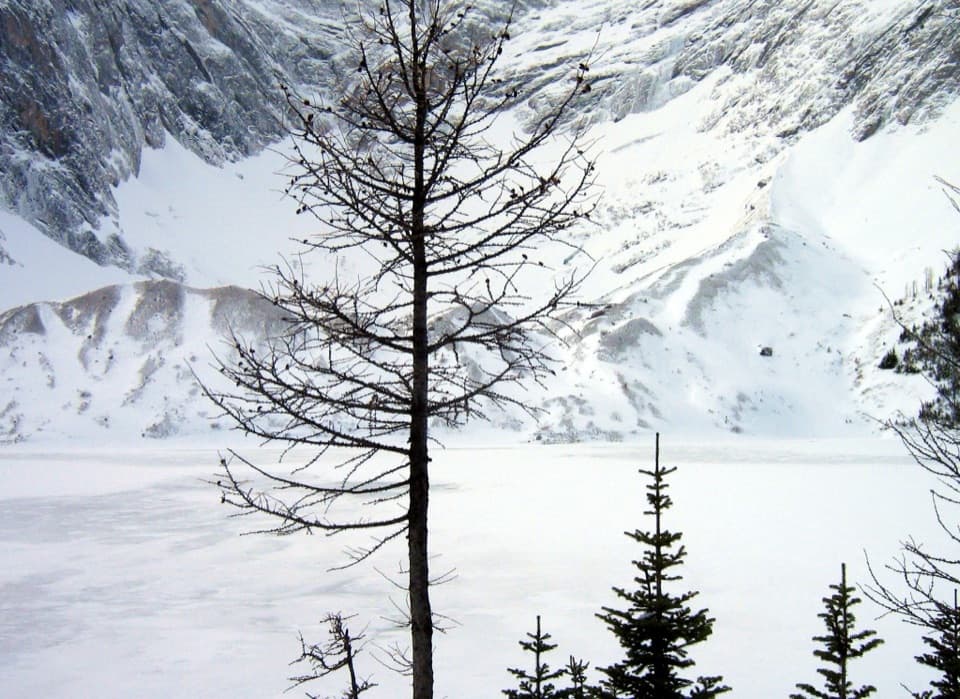 ChallengingFrozen Lake via Elk Pass14 km · 6 hr · 0.9 km awayAn alpine lake beneath Mount Fox, reached beyond the maintained pass trail.
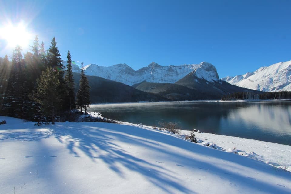 Picnic area · 0.2 km awayUpper Lake Day Use AreaA rocky lakeshore picnic, with two major trail starts.
 Campground · 0.9 km awayMount Sarrail Walk-in Tenting CampgroundA 44-site, tent-only camp near Kananaskis Lakes.
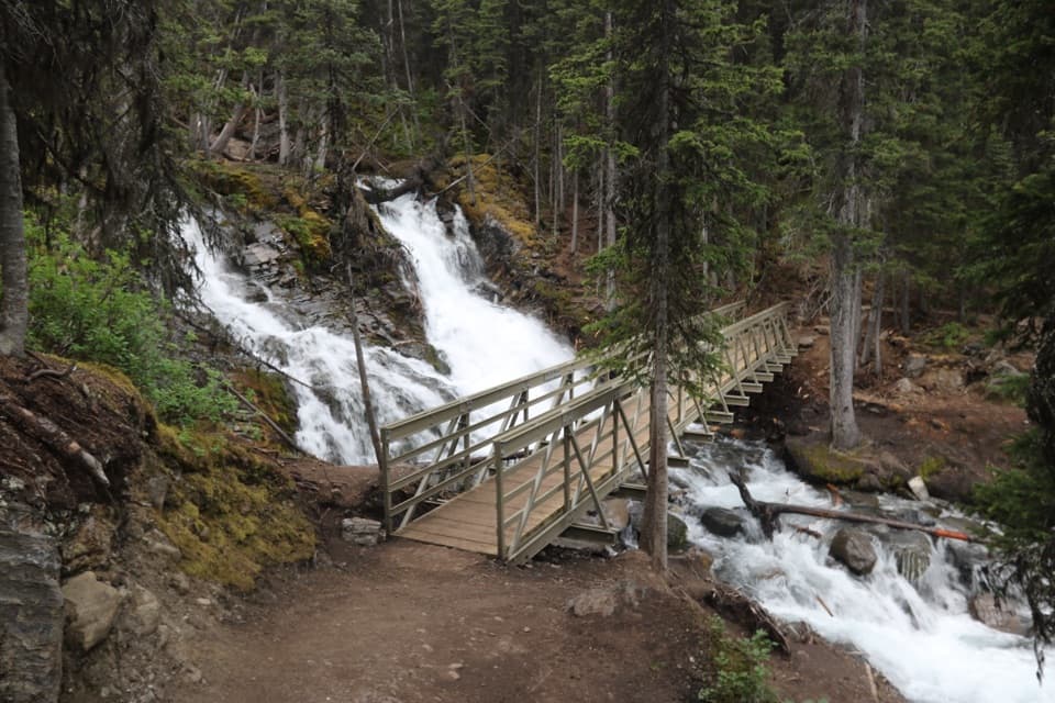 Sight · 1 km awaySarrail FallsA short lakeshore walk ends at Sarrail Falls beside its rebuilt bridge.
 Campground · 2 km awayInterlakes CampgroundAn unserviced campground with a hand launch on Lower Kananaskis Lake.
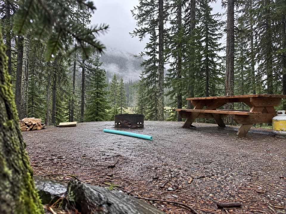 Campground · 2.4 km awayLower Lake CampgroundWooded camping near the lakes; check water and site details.
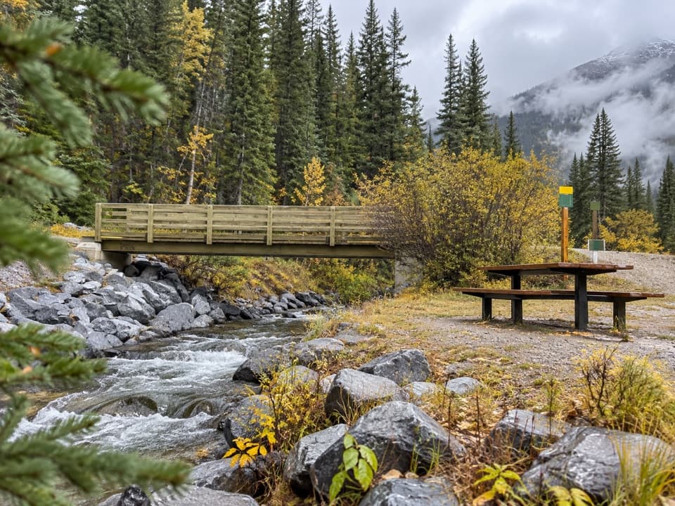 Picnic area · 2.6 km awayBoulton Bridge Day Use AreaA creekside picnic stop with an almost 5 km trail nearby
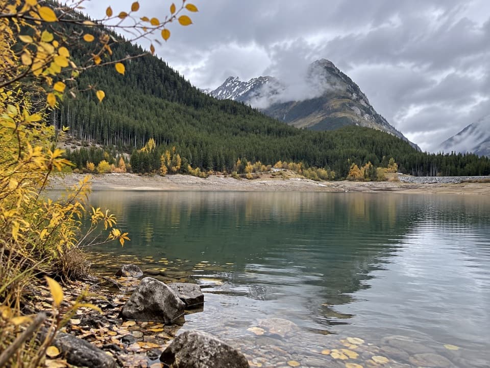 Picnic area · 2.6 km awayLower Lake Day Use AreaA winter picnic with mountain views across Lower Kananaskis Lake.
 Sight · 2.7 km awayRawson LakeA steady forest climb opens onto a lake beneath Mount Sarrail.
Parkwolf’s Peter Lougheed ranking

The audio tour guide for the drive, plus offline maps, trails, and wildlife heatmaps for when the signal drops.


