Parking
Use Upper Lake Day Use at the south end of Upper Kananaskis Lake, or start at North Interlakes Day Use. A few visitors report that Upper Lake parking can fill at busy times; consider arriving early.

#5 of 66 trails in Peter Lougheed
Peter Lougheed Provincial Park, AB
Waterfalls, forest and a long walk around a mountain lake.
Overview
Map & elevation
Plan your hike

The highest, rockiest slopes around here are a summer buffet for grizzly bears.
Peter Lougheed Tour Guide
Parkwolf is a GPS audio tour guide for Peter Lougheed Provincial Park. As you drive, it chimes in with what’s ahead: hidden gems, upcoming stops, history, geology, and wildlife, right through your car’s speakers.
See the Peter Lougheed audio tourRecorded for this trailhead
Upper Lake: Shoreline and Sarrail Falls“You're coming up on Upper Lake Day Use Area, where you can enjoy the mountain view without taking on a long hike.”
Plays as you drive up to this trailhead in the Parkwolf Peter Lougheed Tour Guide.
More stories near here in the app
“Fantastic app with many points of information… It’s great to just turn on while you’re driving and it gives you an audio tour of the national Park. We love it!!!!”


Trail guide
Upper Kananaskis Lake is a 15.7 km (9.8 mi) loop around a mountain reservoir, linking forest, waterfalls, open shoreline and a rocky slide. Allow about four to five and a half hours. The trail rolls along the lake rather than making one long summit climb, so distance and a few uneven sections are the main effort. Start at Upper Lake Day Use or North Interlakes Day Use; the full circuit is the same either way. From North Interlakes, cross the dam and follow either of the early upper or lower paths; they rejoin. At the Three Isle Lake junction, take the descent back toward Upper Kananaskis Lake to stay on this loop. Continuing uphill leaves the circuit for a different hike.
From Upper Lake Day Use, Sarrail Falls is about 1.1 km along the shore. The trail continues through spruce and fir, with water and mountain views appearing through the trees, then passes Lower Kananaskis Falls. A wooden footbridge crosses a rocky stream near the far side of the circuit. Expect changing footing as the path moves between dirt tread, stones and shoreline rubble. If the full loop is too much, the walk from Upper Lake Day Use to Sarrail Falls and back makes a shorter waterfall outing.
On the north side, the route crosses the Palliser rockslide, a broad field of gray rock beneath Mount Indefatigable. This is the circuit's most distinctive change of scene: loose-looking rock and a narrow path replace the softer forest tread, with the lake and ridges opening below. Take care with footing here. For a photograph, include the rubble in the foreground and Mount Indefatigable beyond; a straight shot across the lake misses the scale of this section.
The lake was dammed to add to Calgary's water reserves. Dark, dead tree trunks still rise from parts of the water, a visible reminder that this is a reservoir as well as a mountain lake. Between the falls and the slide, the circuit gives you both the close details of a working landscape and longer views across the water to the surrounding peaks.
Upper Lake Day Use is the south-end access and has pit toilets and a water pump; no food seller was found along the route, so bring lunch and enough water for the full walk. North Interlakes is the other official starting point. A few visitors report that Upper Lake parking can fill at busy times, so an early start may help. The three-and-a-half-kilometre section between North Interlakes and Point Backcountry Campground allows traditional bikes and e-bikes; the rest of the circuit is hiking-only.
Dogs are allowed on leash. The posted group-size limit appears as 15 / 35; because the applicable cap depends on the route section, confirm with the park before bringing a group larger than 15. Avalanche paths cross the route, so this is not a recommended winter walk. Check current advisories and conditions before setting out; seasonal snow can change footing well beyond the rockslide.
Wildlife
 132 sightingsGrizzly BearMost seen around 8 PMSighting map
 17 sightingsCanada LynxMost seen around 8 PMSighting map
 30 sightingsBlack BearMost seen around 6 AMSighting map
 69 sightingsMooseMost seen around 5 PMSighting map
 176 sightingsBighorn SheepMost seen around 6 PMSighting map
 19 sightingsBald EagleMost seen around 8 AMSighting map
Sighting maps show where each species has been reported across Peter Lougheed. Wildlife moves, so no sighting is guaranteed.
Keep exploring
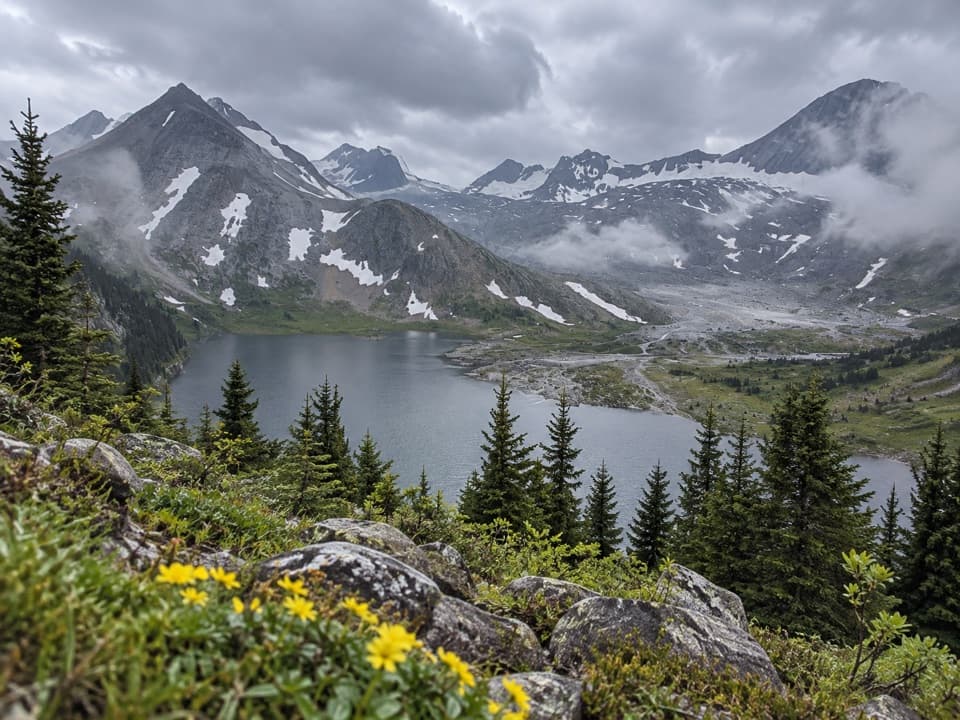 ChallengingAster Lake Trail21.6 km · 9 hr · 0.2 km awayA full-day climb from forested shoreline to an alpine lake.
 ModerateRawson Lake Trail7.8 km · 3.5 hr · 0.3 km awayLakeshore, falls, then a steady climb to a mountain-ringed lake.
 ChallengingSarrail Ridge via Rawson Lake11.7 km · 5.5 hr · 0.3 km awayThe lake is the breather before a loose, steep ridge climb.
 ModerateElk Pass Snowshoe Trail11.6 km · 3.5 hr · 0.6 km awayA winter snowshoe route from Elk Pass Day Use to the pass.
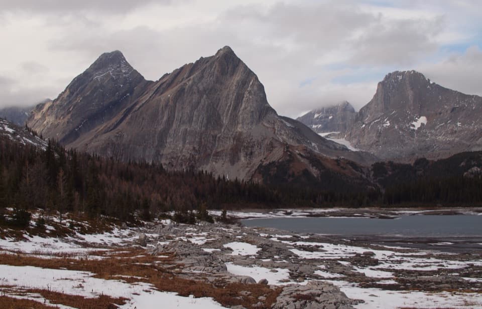 ChallengingGreat Divide Trail: Elk Pass to North Kananaskis Pass22.1 km · 10 hr · 0.7 km awayA long lakeshore approach climbs through Turbine Canyon to a high pass.
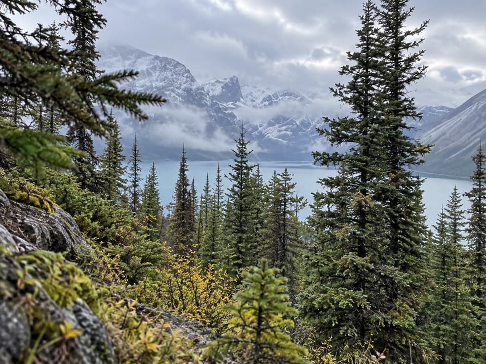 ChallengingBlueberry Hill Trail6.9 km · 3 hr · 0.7 km awayA steep snowshoe climb to views over two mountain lakes.
 ModerateElk Pass Trail11.2 km · 3.5 hr · 0.7 km awayA gradual old road climbs to a meadow at West Elk Pass.
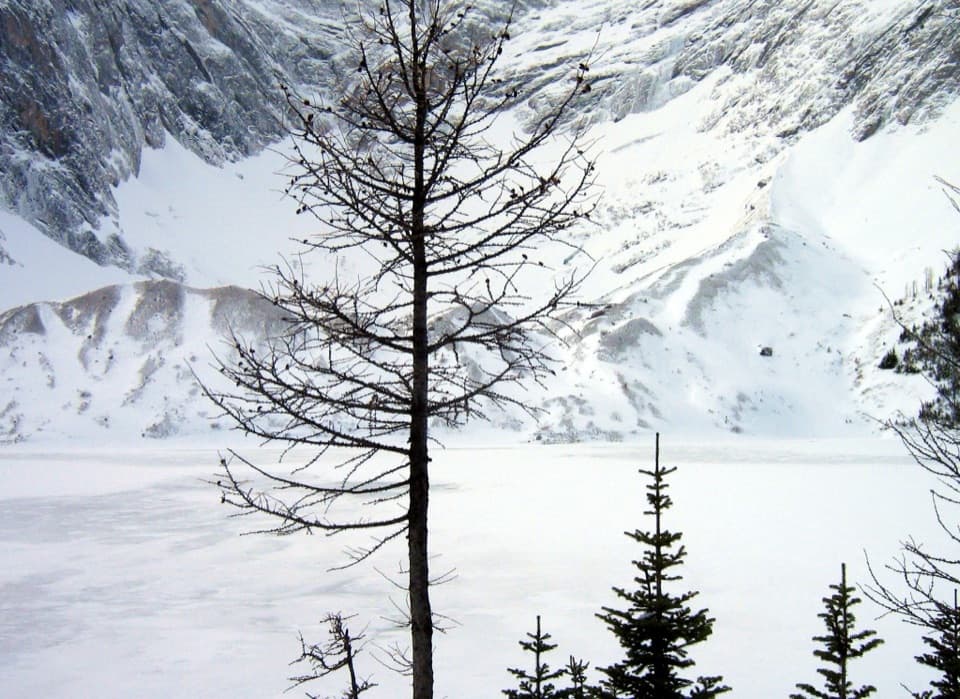 ChallengingFrozen Lake via Elk Pass14 km · 6 hr · 0.7 km awayAn alpine lake beneath Mount Fox, reached beyond the maintained pass trail.
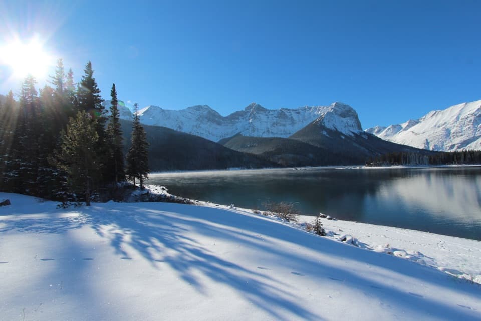 Picnic area · At the trailheadUpper Lake Day Use AreaA rocky lakeshore picnic, with two major trail starts.
 Campground · 0.7 km awayMount Sarrail Walk-in Tenting CampgroundA 44-site, tent-only camp near Kananaskis Lakes.
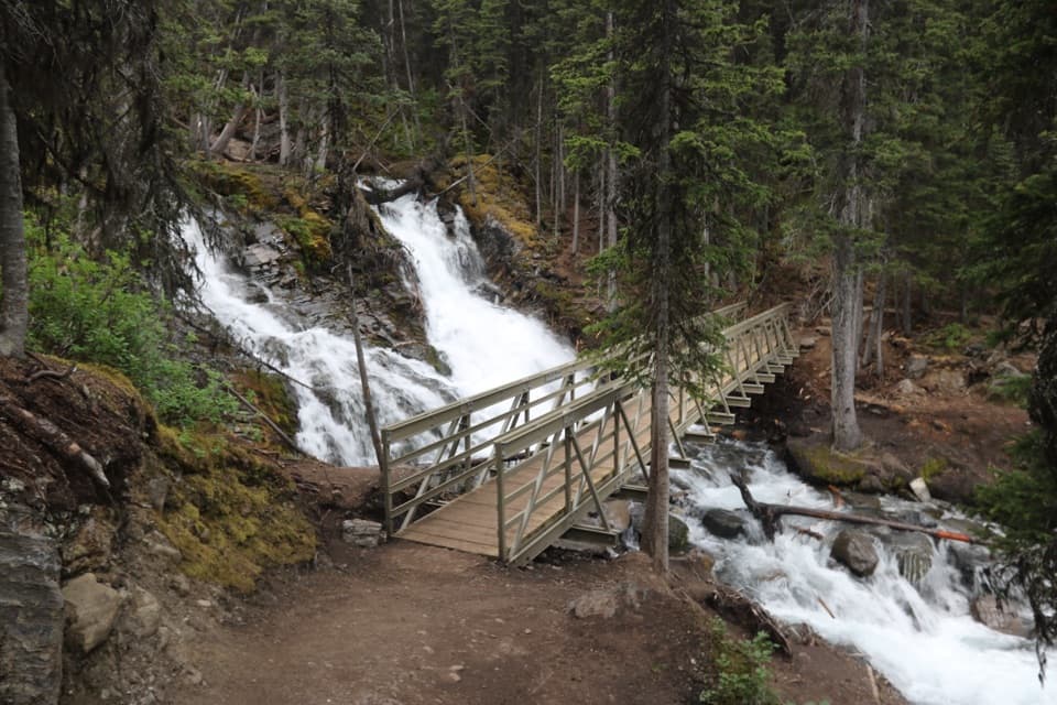 Sight · 1.2 km awaySarrail FallsA short lakeshore walk ends at Sarrail Falls beside its rebuilt bridge.
 Campground · 1.9 km awayInterlakes CampgroundAn unserviced campground with a hand launch on Lower Kananaskis Lake.
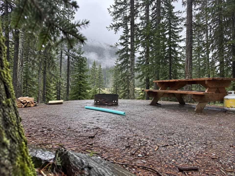 Campground · 2.2 km awayLower Lake CampgroundWooded camping near the lakes; check water and site details.
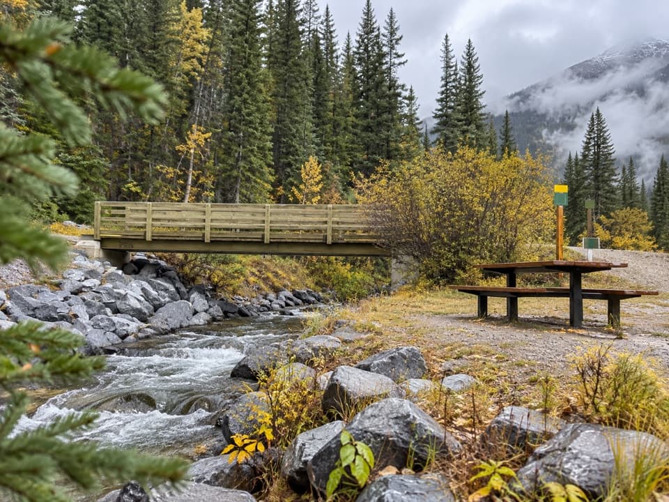 Picnic area · 2.4 km awayBoulton Bridge Day Use AreaA creekside picnic stop with an almost 5 km trail nearby
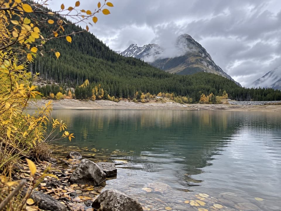 Picnic area · 2.4 km awayLower Lake Day Use AreaA winter picnic with mountain views across Lower Kananaskis Lake.
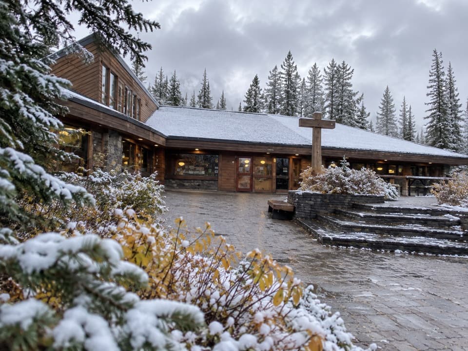 Store · 2.6 km awayBoulton Creek Trading PostGroceries, campground basics, rentals and ice cream in one stop.
Parkwolf’s Peter Lougheed ranking

The audio tour guide for the drive, plus offline maps, trails, and wildlife heatmaps for when the signal drops.



