Parking
Start at Upper Lake Day Use Area at the end of Kananaskis Lakes Trail; walk past the outhouses to the Upper Lake Trailhead. A Kananaskis Conservation Pass is required to park. Lot capacity is not posted; arrive early if parking matters.

#6 of 66 trails in Peter Lougheed
Peter Lougheed Provincial Park, AB
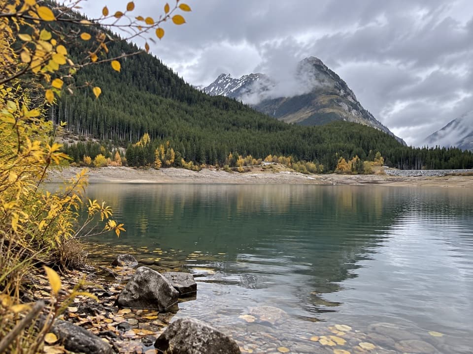
The lake is the breather before a loose, steep ridge climb.
Overview
Sarrail Ridge via Rawson Lake is a 7.3-mile (11.7 km) out-and-back from Upper Lake Day Use Area, beginning along Upper Kananaskis Lake, climbing to Rawson Lake, then continuing up an informal ridge path. Allow five to six and a half hours and about 2,200 feet (670 m) of climbing. Published full-trip totals range from 11.4 to 12.2 km; this description uses 11.7 km, the length of the connected mapped route doubled for the return. It is a hard, full-day outing. Rawson Lake makes a rewarding finish on its own, but Sarrail Ridge is where the route gets strenuous.
 Parkwolf’s verdictIs the ridge for you?
Map & elevation
Plan your hike

The highest, rockiest slopes around here are a summer buffet for grizzly bears.
Peter Lougheed Tour Guide
Parkwolf is a GPS audio tour guide for Peter Lougheed Provincial Park. As you drive, it chimes in with what’s ahead: hidden gems, upcoming stops, history, geology, and wildlife, right through your car’s speakers.
See the Peter Lougheed audio tourRecorded for this trailhead
Upper Lake: Shoreline and Sarrail Falls“You're coming up on Upper Lake Day Use Area, where you can enjoy the mountain view without taking on a long hike.”
Plays as you drive up to this trailhead in the Parkwolf Peter Lougheed Tour Guide.
More stories near here in the app
“Fantastic app with many points of information… It’s great to just turn on while you’re driving and it gives you an audio tour of the national Park. We love it!!!!”


Trail guide
A marked End of Trail sign by Rawson Lake separates the maintained route from the unmaintained ridge path. Continue only when the ground is dry and you’re comfortable with steep, loose footing and a short hands-on step. Someone has tied a rope to a tree there, but it isn’t a maintained aid. The dirt can slide underfoot, especially on the descent; poles can help with balance. If the slope is damp or scrambling isn’t for you, turn around at the lake. You’ll still get a mountain-framed alpine lake and a substantial forest hike.
Park at Upper Lake Day Use Area, walk past the outhouses, and pick up the Upper Lake Trail at its large trail map. The first stretch is mostly level and wooded, with occasional openings toward the lake and Mount Indefatigable. A bridge crosses Sarrail Creek where it drops down a hillside in a small waterfall. At the signed junction beyond it, keep left for Rawson Lake.
After leaving Upper Lake Trail, the path climbs steadily through subalpine forest. Expect roots, rocks, fallen trees and muddy patches; split-log walkways cover some wet ground. A break in the trees gives a look down at clear Rawson Creek and its rocky bed before the lake opens under Mount Sarrail’s rock wall. Follow the shoreline around the south side if you’re continuing. There’s an outhouse at the lake, and a few larches near its far end.
Beyond the sign, follow the rocky shore to the far end of Rawson Lake and the base of the ridge. The path passes a steep rocky gully; the route goes to its right. Then comes the short rope-assisted rocky step, a few switchbacks, and a long, direct climb on loose dirt. Natural footholds help, but the slope stays steep. Higher up, the trees thin into an alpine meadow. Keep to the most trodden line rather than making new tracks across the slope.
The first ridge viewpoint opens between rocky walls over the Kananaskis Lakes. Continue a little higher along the ridge, past small larches toward the base of a pointed summit, for Upper and Lower Kananaskis Lakes on one side and Rawson Lake on the other. Mount Indefatigable’s south peak stands beyond the lakes. For a photo, keep some of the rough ridge in the foreground so the drop to the blue water has scale; the lakes and mountain walls are the signature view.
The ridge is best treated as a summer or early-fall outing, and only when the soil is dry; wet dirt makes the steep descent treacherous. Winter travel above Rawson Lake enters avalanche terrain. Mountain weather can change quickly. Alberta Parks advises carrying accessible bear spray in the park, and dogs must stay on leash.
The day-use lot is the right access for this full route; a Kananaskis Conservation Pass is required to park. Picnic tables and outhouses are at the trailhead. There’s no food vendor or potable-water stop documented along the walk, so bring what you need before setting out. Parking capacity isn’t posted; arriving early is sensible if you’re going at a busy time.
Wildlife
 132 sightingsGrizzly BearMost seen around 8 PMSighting map
 17 sightingsCanada LynxMost seen around 8 PMSighting map
 30 sightingsBlack BearMost seen around 6 AMSighting map
 69 sightingsMooseMost seen around 5 PMSighting map
 176 sightingsBighorn SheepMost seen around 6 PMSighting map
 19 sightingsBald EagleMost seen around 8 AMSighting map
Sighting maps show where each species has been reported across Peter Lougheed. Wildlife moves, so no sighting is guaranteed.
Keep exploring
 ModerateRawson Lake Trail7.8 km · 3.5 hr · At the trailheadLakeshore, falls, then a steady climb to a mountain-ringed lake.
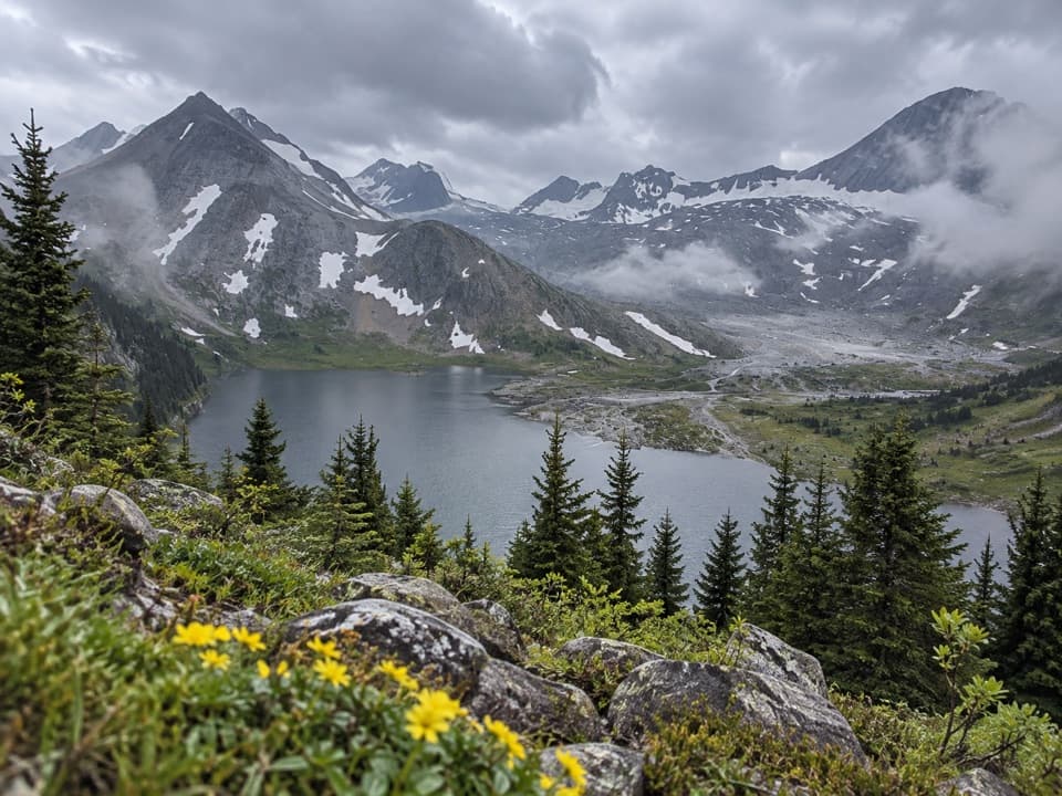 ChallengingAster Lake Trail21.6 km · 9 hr · At the trailheadA full-day climb from forested shoreline to an alpine lake.
 ModerateUpper Kananaskis Lake Loop15.7 km · 5 hr · 0.3 km awayWaterfalls, forest and a long walk around a mountain lake.
 ModerateElk Pass Snowshoe Trail11.6 km · 3.5 hr · 0.9 km awayA winter snowshoe route from Elk Pass Day Use to the pass.
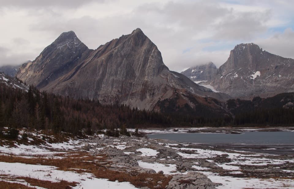 ChallengingGreat Divide Trail: Elk Pass to North Kananaskis Pass22.1 km · 10 hr · 0.9 km awayA long lakeshore approach climbs through Turbine Canyon to a high pass.
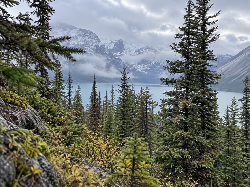 ChallengingBlueberry Hill Trail6.9 km · 3 hr · 0.9 km awayA steep snowshoe climb to views over two mountain lakes.
 ModerateElk Pass Trail11.2 km · 3.5 hr · 0.9 km awayA gradual old road climbs to a meadow at West Elk Pass.
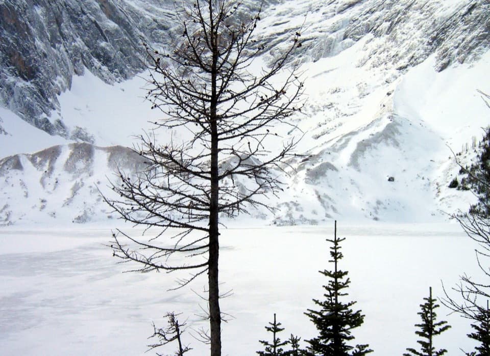 ChallengingFrozen Lake via Elk Pass14 km · 6 hr · 1 km awayAn alpine lake beneath Mount Fox, reached beyond the maintained pass trail.
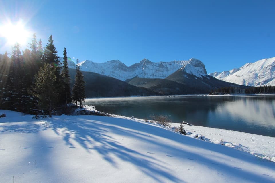 Picnic area · 0.3 km awayUpper Lake Day Use AreaA rocky lakeshore picnic, with two major trail starts.
 Campground · 0.9 km awayMount Sarrail Walk-in Tenting CampgroundA 44-site, tent-only camp near Kananaskis Lakes.
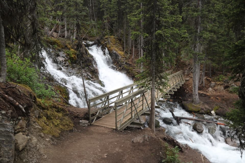 Sight · 1 km awaySarrail FallsA short lakeshore walk ends at Sarrail Falls beside its rebuilt bridge.
 Campground · 2.1 km awayInterlakes CampgroundAn unserviced campground with a hand launch on Lower Kananaskis Lake.
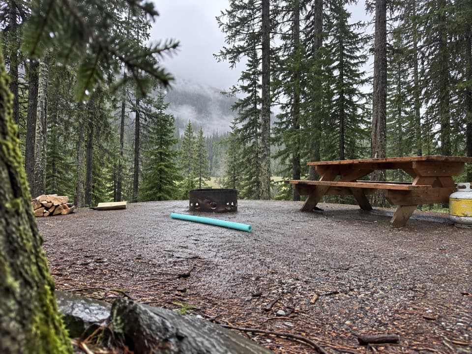 Campground · 2.4 km awayLower Lake CampgroundWooded camping near the lakes; check water and site details.
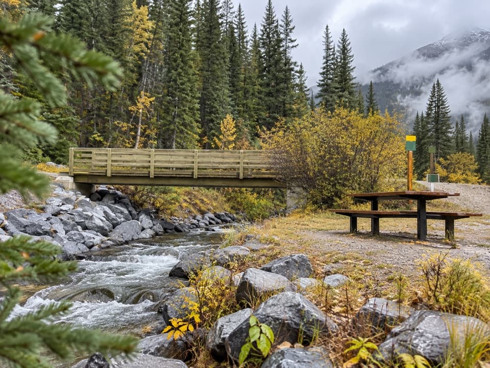 Picnic area · 2.6 km awayBoulton Bridge Day Use AreaA creekside picnic stop with an almost 5 km trail nearby
 Picnic area · 2.7 km awayLower Lake Day Use AreaA winter picnic with mountain views across Lower Kananaskis Lake.
 Sight · 2.7 km awayRawson LakeA steady forest climb opens onto a lake beneath Mount Sarrail.
Parkwolf’s Peter Lougheed ranking
The audio tour guide for the drive, plus offline maps, trails, and wildlife heatmaps for when the signal drops.



