Parking
Start at the Elk Pass Day Use Area parking lot off Kananaskis Lakes Trail.

Peter Lougheed Provincial Park, AB
A gradual old road climbs to a meadow at West Elk Pass.
Overview
Map & elevation
Plan your hike

The highest, rockiest slopes around here are a summer buffet for grizzly bears.
Peter Lougheed Tour Guide
Parkwolf is a GPS audio tour guide for Peter Lougheed Provincial Park. As you drive, it chimes in with what’s ahead: hidden gems, upcoming stops, history, geology, and wildlife, right through your car’s speakers.
See the Peter Lougheed audio tourRecorded for this trailhead
Elk Pass: A Meadow on the Provincial Boundary“Up ahead is Elk Pass Day Use Area, the start of a summer hike to a meadow on the Alberta–British Columbia boundary.”
Plays as you drive up to this trailhead in the Parkwolf Peter Lougheed Tour Guide.
More stories near here in the app
“Fantastic app with many points of information… It’s great to just turn on while you’re driving and it gives you an audio tour of the national Park. We love it!!!!”


Trail guide
Elk Pass Trail is an out-and-back from Elk Pass Day Use to West Elk Pass at the Alberta–British Columbia boundary. Published one-way distances vary from about 5 to 5.6 km, so plan for roughly 10–11.2 km round trip. The gradual climb and long old-road approach make this a moderate half-day; allow around 3–4 hours with stops.
From the lot, follow Powerline Road to the first bridge over Fox Creek. Cross it and continue on the right fork. About 100 m beyond Blueberry Hill Trail, take the hiker-marked path to the right. The old fire road runs for roughly 4.9 km before the route opens into meadow, with the pass just beyond. Expect a broad, steadily climbing track rather than a technical scramble.
The Alberta route reaches the pass at the provincial boundary; turn around here for this hike. The Elk Lakes cabin is another 4.3 km beyond the border, so continuing makes for a substantially longer outing. The meadow and boundary pass are the open landmarks at the end of the wooded approach.
Follow the summer hiker markers; the winter ski alignment is different around the approach to the pass. Dogs are allowed on leash, but they are not permitted on groomed ski trails in winter.
Start at Elk Pass Day Use Area on Kananaskis Lakes Trail. Hiking groups are limited to 15 people.
Wildlife
 132 sightingsGrizzly BearMost seen around 8 PMSighting map
 17 sightingsCanada LynxMost seen around 8 PMSighting map
 30 sightingsBlack BearMost seen around 6 AMSighting map
 69 sightingsMooseMost seen around 5 PMSighting map
 176 sightingsBighorn SheepMost seen around 6 PMSighting map
 19 sightingsBald EagleMost seen around 8 AMSighting map
Sighting maps show where each species has been reported across Peter Lougheed. Wildlife moves, so no sighting is guaranteed.
Keep exploring
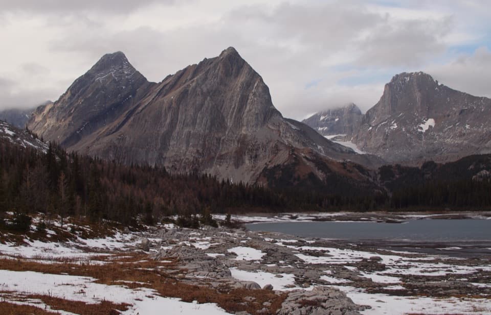 ChallengingGreat Divide Trail: Elk Pass to North Kananaskis Pass22.1 km · 10 hr · At the trailheadA long lakeshore approach climbs through Turbine Canyon to a high pass.
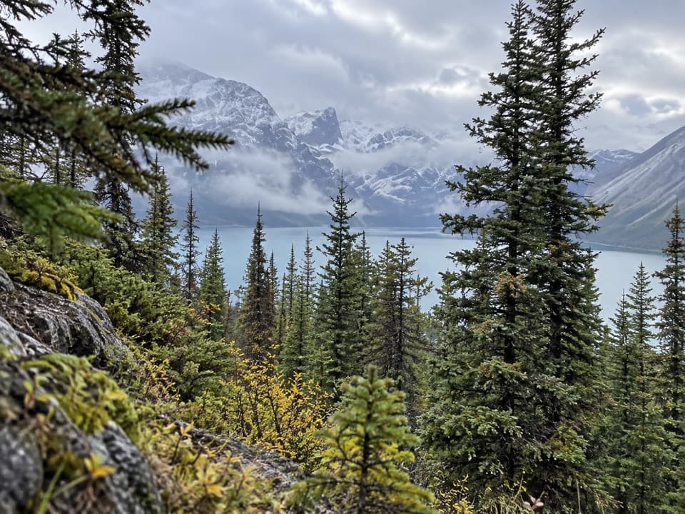 ChallengingBlueberry Hill Trail6.9 km · 3 hr · At the trailheadA steep snowshoe climb to views over two mountain lakes.
 ModerateElk Pass Snowshoe Trail11.6 km · 3.5 hr · At the trailheadA winter snowshoe route from Elk Pass Day Use to the pass.
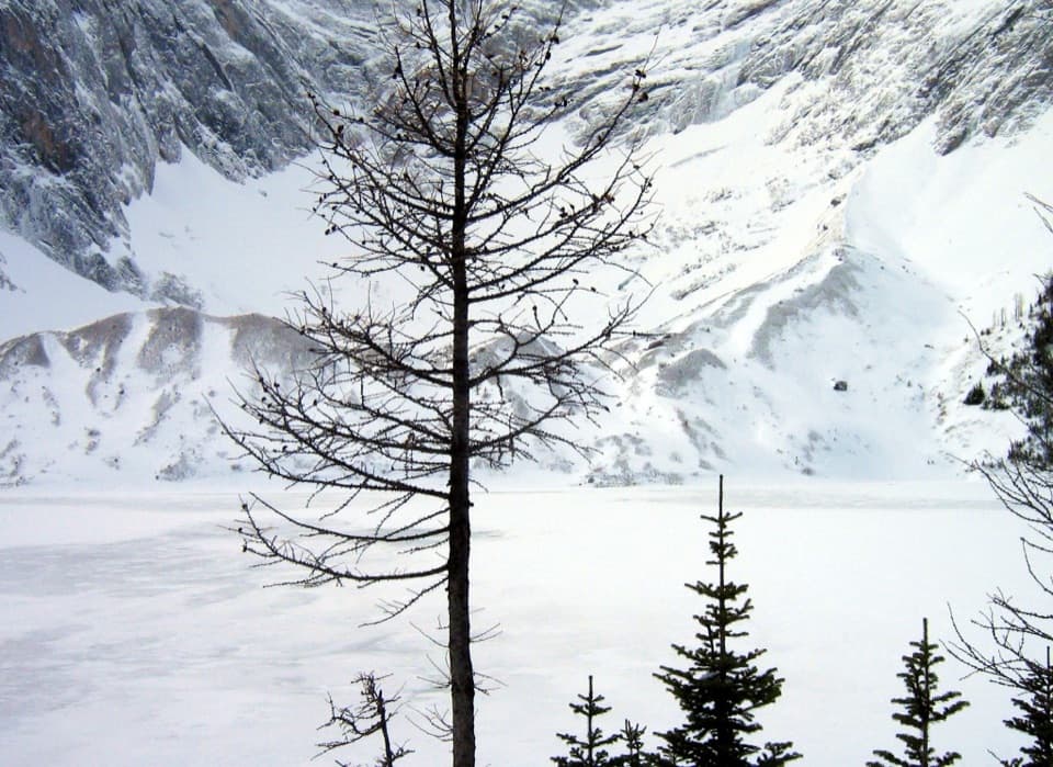 ChallengingFrozen Lake via Elk Pass14 km · 6 hr · 0.1 km awayAn alpine lake beneath Mount Fox, reached beyond the maintained pass trail.
 ModerateUpper Kananaskis Lake Loop15.7 km · 5 hr · 0.7 km awayWaterfalls, forest and a long walk around a mountain lake.
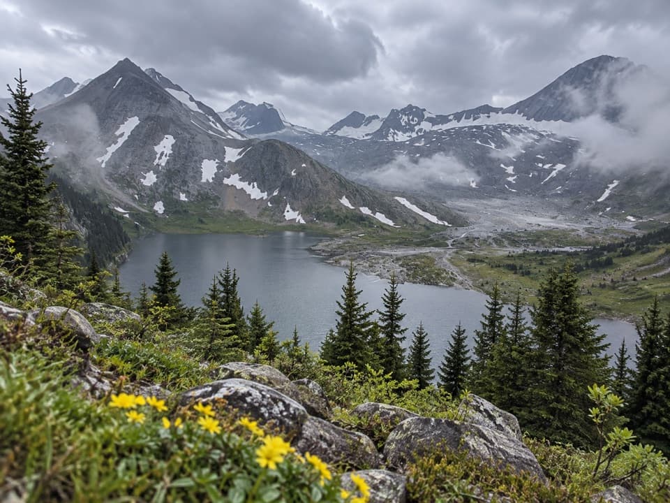 ChallengingAster Lake Trail21.6 km · 9 hr · 0.9 km awayA full-day climb from forested shoreline to an alpine lake.
 ModerateRawson Lake Trail7.8 km · 3.5 hr · 0.9 km awayLakeshore, falls, then a steady climb to a mountain-ringed lake.
 ChallengingSarrail Ridge via Rawson Lake11.7 km · 5.5 hr · 0.9 km awayThe lake is the breather before a loose, steep ridge climb.
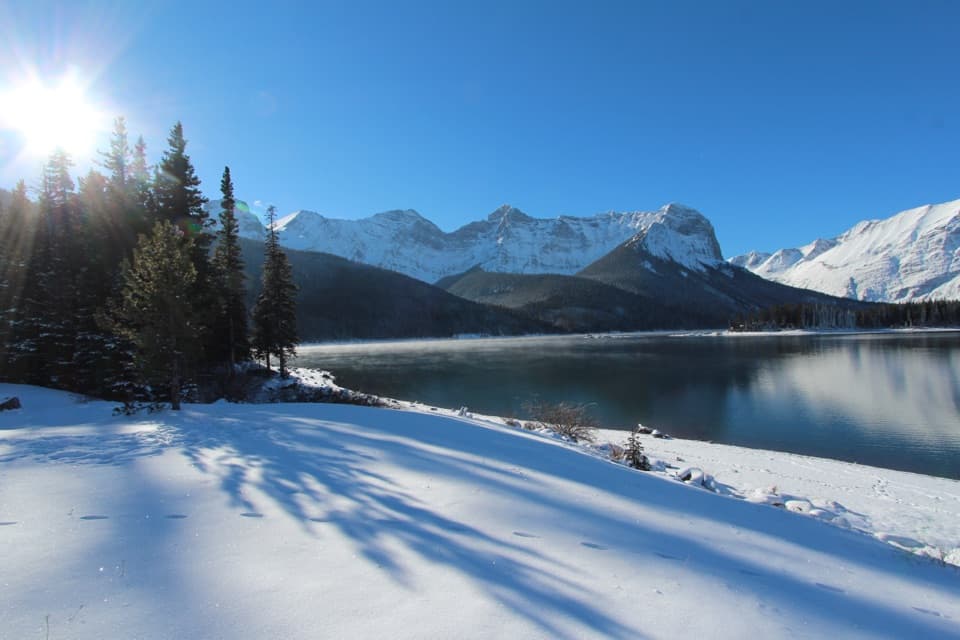 Picnic area · 0.7 km awayUpper Lake Day Use AreaA rocky lakeshore picnic, with two major trail starts.
 Campground · 0.7 km awayMount Sarrail Walk-in Tenting CampgroundA 44-site, tent-only camp near Kananaskis Lakes.
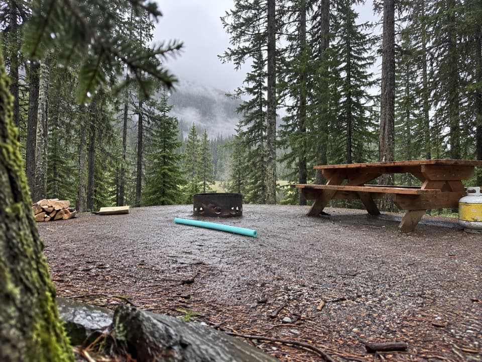 Campground · 1.7 km awayLower Lake CampgroundWooded camping near the lakes; check water and site details.
 Campground · 1.7 km awayInterlakes CampgroundAn unserviced campground with a hand launch on Lower Kananaskis Lake.
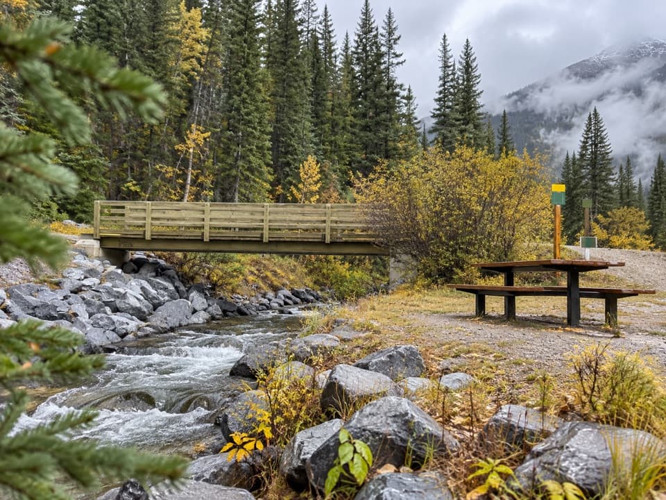 Picnic area · 1.8 km awayBoulton Bridge Day Use AreaA creekside picnic stop with an almost 5 km trail nearby
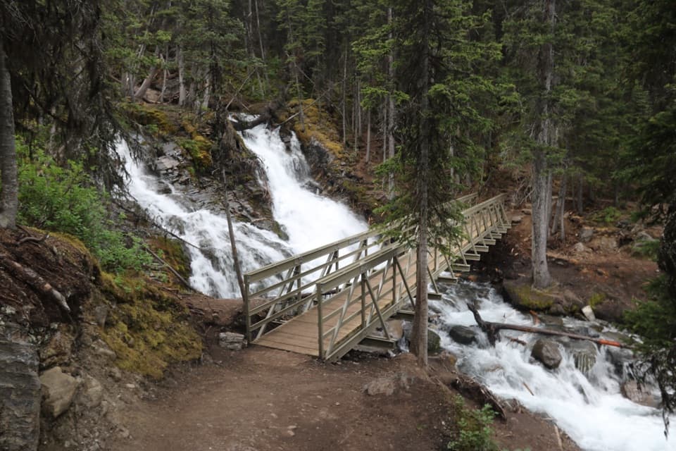 Sight · 1.8 km awaySarrail FallsA short lakeshore walk ends at Sarrail Falls beside its rebuilt bridge.
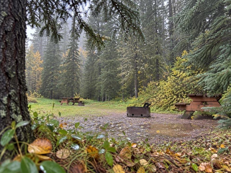 Campground · 1.9 km awayBoulton Creek CampgroundA wooded base camp with walk-in tents and full RV hookups.
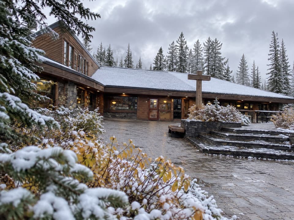 Store · 1.9 km awayBoulton Creek Trading PostGroceries, campground basics, rentals and ice cream in one stop.
Parkwolf’s Peter Lougheed ranking

The audio tour guide for the drive, plus offline maps, trails, and wildlife heatmaps for when the signal drops.


