Chester Lake Trail in Peter Lougheed Provincial Park

#4 of 66 trails in Peter Lougheed

Peter Lougheed Provincial Park, AB

Chester Lake Trail

A steady climb through larch meadows to a high alpine lake.

Photo: CC BY 2.0
Length
9.2km
Time
3.5hr
Elev. change
305m
Difficulty
Moderate
  • Dogs allowed
  • High point 2,221 m

Hear the audio tour

Chester Lake: A Half-Day Hike

Overview

About Chester Lake Trail

Why go

  • Alpine lake beneath Mount Chester, reached through open larch meadows
  • Optional Elephant Rocks extension adds a distinct boulder field

Heads up

  • Steady uphill for much of the lake approach
  • Parking and trail crowds build during larch season

Map & elevation

The route

Loading the Peter Lougheed map
Full map
Elevation1,916–2,221 m
TrailheadChester Lake Day Use Area50.79100, -115.30069
Keep this map with you offline in the Parkwolf app

Plan your hike

Before you go

Parking

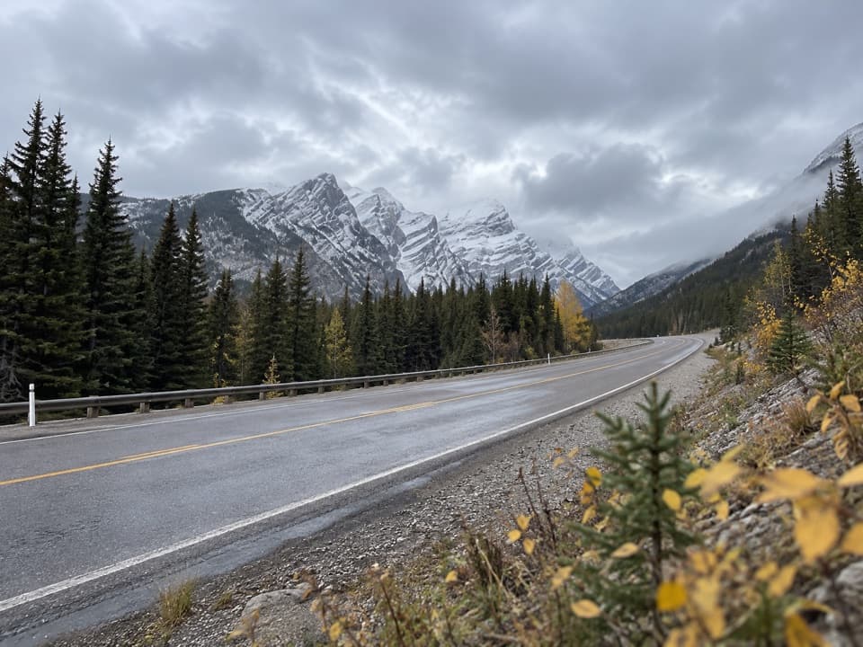
Start at the Chester Lake Day Use Area lot off Highway 742 (Smith-Dorrien/Spray Trail). The access road is gravel and visitors report rough, washboard stretches; check conditions before driving. The lot is sizeable but often fills on sunny weekends and during larch season, so an early or weekday start helps.

Best time to go

Reach the lot from Highway 742, the Smith-Dorrien/Spray Trail. It is a gravel road, and hikers repeatedly report washboard and rough patches; conditions change, so check before you drive. The parking lot is sizeable but fills on sunny weekends and during larch season. An early or weekday start can ease the parking squeeze. Alberta Parks closes the trail each May 1–June 29 while the ground dries. Dogs are allowed on leash and groups are limited to 35. An outhouse is available at the lot. Snow and ice can change footing in shoulder seasons, so check the current trail report before setting out.

Safety

Alberta Parks closes the trail annually from May 1 through June 29 while it dries. Shoulder-season snow and ice can change footing at alpine elevation; check current trail reports. Groups are limited to 35, and dogs must stay on leash.

4 active Peter Lougheed alerts

  • ClosureTrail closures and Three Isle detourThree trail sections remain closed; stay out of closed areas and follow the signed Three Isle detour to reach the open backcountry campgrounds.Official details
  • CautionBear activity near Elpoca and ValleyviewFrequent bear activity has been noted along Valleyview Road from Elpoca Day Use Area south to Highway 40, near Little Highwood Pass and Valleyview Day Use Areas; use bear precautions.Official details
See all 4 alerts
A park ranger sits on a dash-mounted phone, talking, as Parkwolf’s Tour Guide plays “Army Cutworm Moths: A Grizzly Bear Buffet” on Grand Loop Road below Dunraven Pass in Yellowstone
Parkwolf Tour GuideThe highest, rockiest slopes around here are a summer buffet for grizzly bears.

Peter Lougheed Tour Guide

Your drive to Chester Lake Trail, narrated.

Parkwolf is a GPS audio tour guide for Peter Lougheed Provincial Park. As you drive, it chimes in with what’s ahead: hidden gems, upcoming stops, history, geology, and wildlife, right through your car’s speakers.

See the Peter Lougheed audio tour

Recorded for this trailhead

Chester Lake: A Half-Day Hike
0:00 / 0:25
“You're approaching the Chester Lake trailhead, for a hike to an alpine lake beneath Mount Chester's steep rock wall.”

Plays as you drive up to this trailhead in the Parkwolf Peter Lougheed Tour Guide.

More stories near here in the app

  • Burstall Pass Day Use: Mud Lake Views
  • Powdered Rock in the Water
  • A Pika's Winter Pantry
  • A Jay That Glues Its Groceries
  • 41 audio storiesacross Peter Lougheed’s roads, triggered by GPS as you drive
  • Wildlife heatmapsfor Grizzly Bear, Canada Lynx, Black Bear, and 13 more
  • Works offlinemaps, 66 trails, 41 places, and audio download before you lose signal
  • CarPlay readysimple controls built for the drive
★★★★★
“Fantastic app with many points of information… It’s great to just turn on while you’re driving and it gives you an audio tour of the national Park. We love it!!!!”
JMJamesApp Store review
Download Parkwolf on the App StoreGet Parkwolf on Google Play

4.7 from 8,600+ ratings

Trail guide

Hiking Chester Lake Trail

The lake hikeChester Lake Trail is the summer out-and-back from Chester Lake Day Use Area to the shore of an…

Chester Lake Trail is the summer out-and-back from Chester Lake Day Use Area to the shore of an alpine lake below Mount Chester. The route is 4.6 km one way, or 9.2 km (5.7 miles) return, with about 300 m of climbing. Allow three to four hours with stops. The climb is steady rather than technical, so I’d call it moderate: the effort comes from the distance and nearly continuous uphill, not scrambling. If you want a half-day walk that earns a high-country lake without committing to Three Lakes Valley, this is the right turnaround. The mapped route ends at the first lakeshore arrival; walking farther around the water or continuing to Elephant Rocks adds distance.

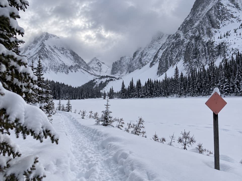
Start on the summer routeBegin at the far northeast end of the day-use lot, near the outhouse and trail map.

Begin at the far northeast end of the day-use lot, near the outhouse and trail map. Cross the small bridge and take the signed summer trail to the left; the separate snowshoe route starts to the right. The High Rockies Trail overlaps or crosses the early section, so follow the Chester Lake signs and blue markers where paths meet. The first two kilometres follow a broad former logging road through forest, climbing by steady grades and switchbacks. The path narrows after the road. Bikes are permitted only on those first two kilometres, so keep an eye out for riders on the shared approach.

Meadows below Mount ChesterAfter roughly 2.

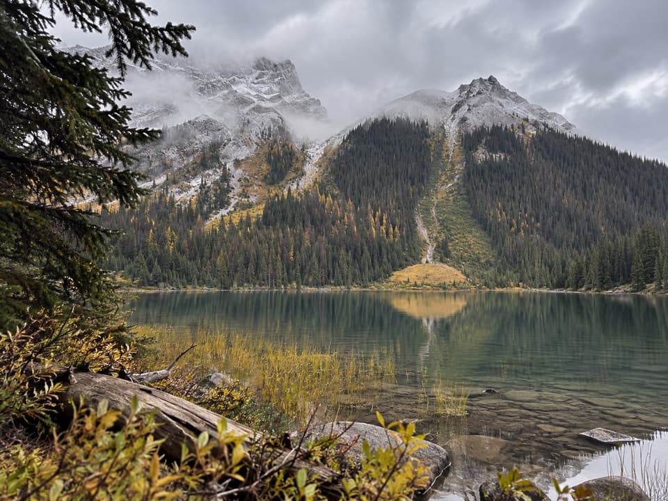
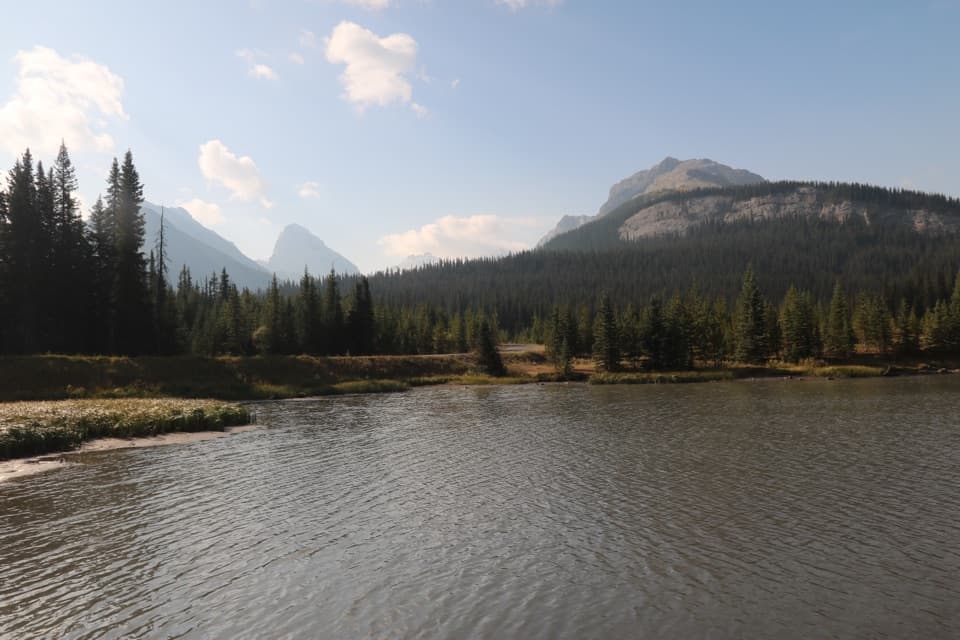
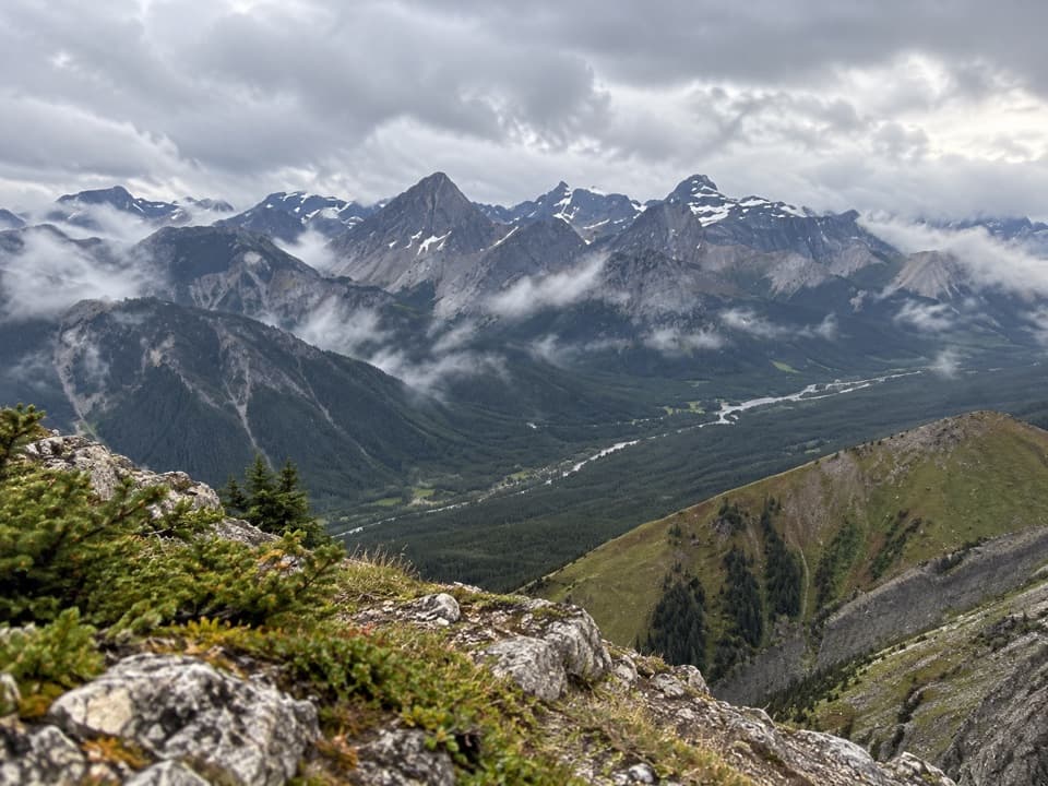
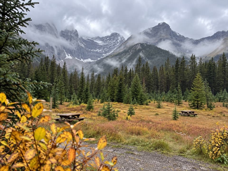
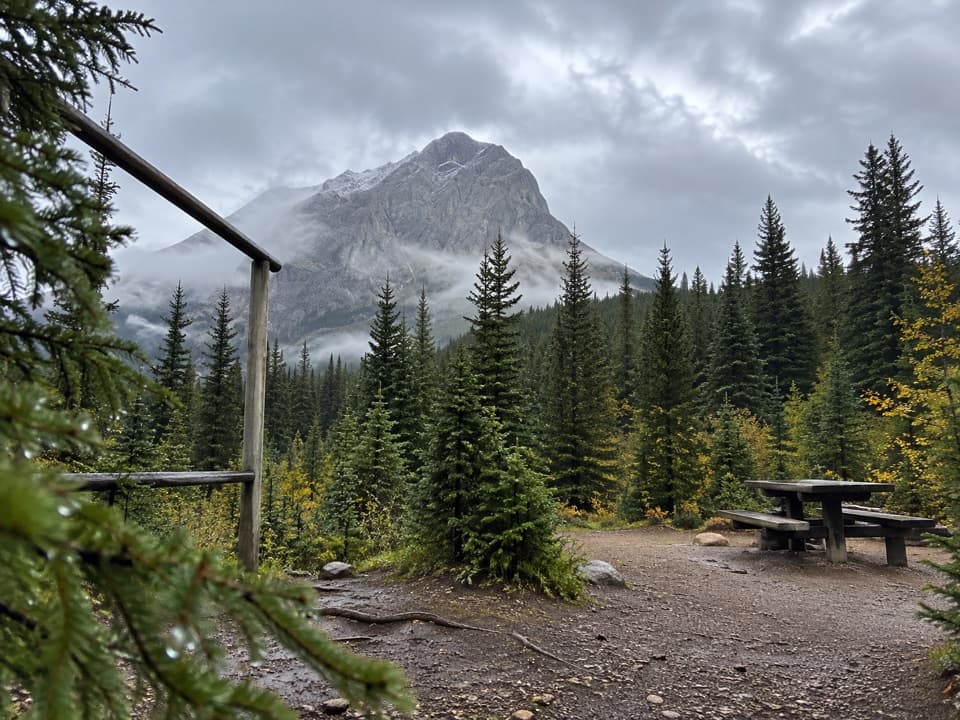
After roughly 2.7 km, the tread opens into meadow, dips briefly through a broader clearing, then alternates between trees and open patches below Mount Chester. This is where the route stops feeling like a forest climb: views of the surrounding peaks open across the meadows, and the larches give the hillside its fall color. Wildflowers show in the warmer months; in autumn, larch needles turn gold, usually around mid-to-late September but at different times from year to year. The color draws crowds, so the quiet trail you might find on an ordinary weekday can feel busy during peak larch season.

At the lakeA small bridge brings you to Chester Lake.

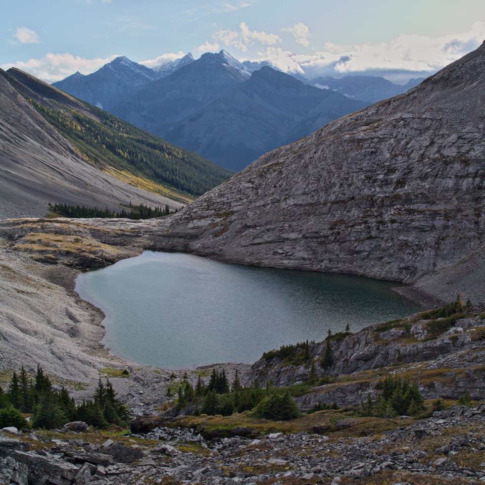
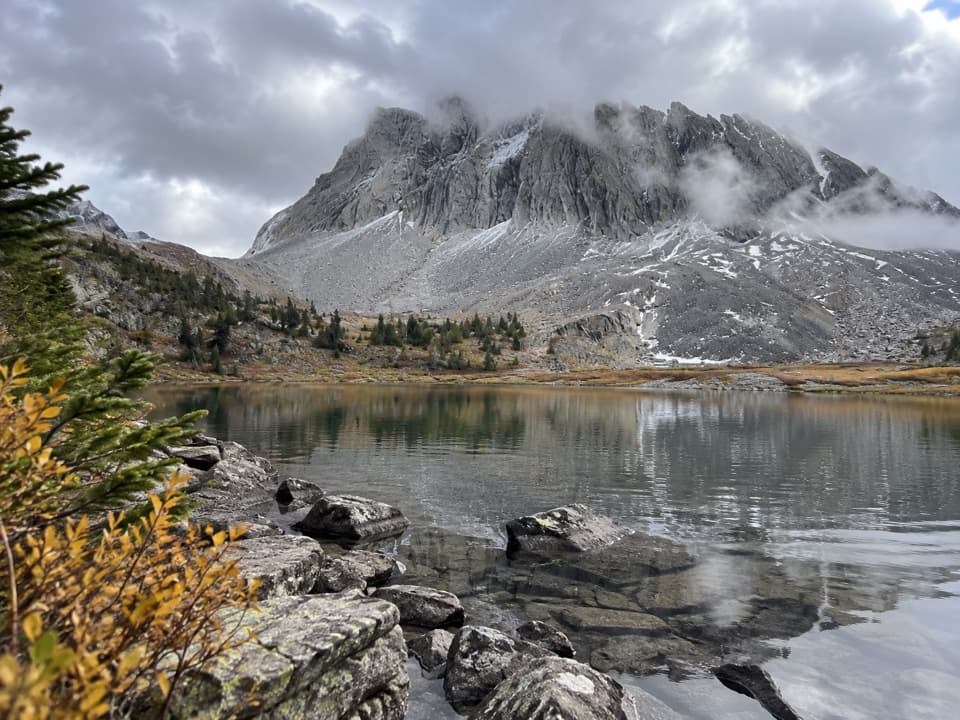
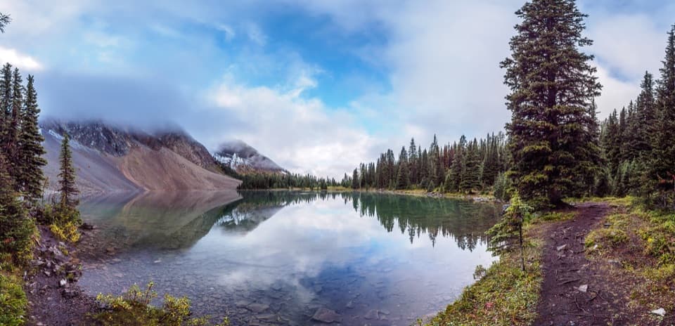
A small bridge brings you to Chester Lake. The water sits beneath steep gray peaks, with conifers and a meadow edging the shore. The narrow lakeside path is rocky and rooty, and each stretch gives a different angle across the basin. For a photo, keep a strip of water or shoreline flowers in the foreground and Mount Chester rising beyond the trees. The 4.6 km one-way route ends at the lake; the perimeter path is an optional extra, not part of the mapped lake approach.

When to go fartherElephant Rocks lies beyond the lake’s west shore; a short spur through trees leads to the large…

Elephant Rocks lies beyond the lake’s west shore; a short spur through trees leads to the large boulders. Continuing beyond them climbs rocky steps through a wildflower basin to the tarns of Three Lakes Valley. Reaching the third tarn makes a much longer outing, about 13.5 km return with roughly 555 m of gain. That is a separate, steeper day with more high-country terrain. If the lake is your goal, turn around at the shore and save the upper valley for another trip.

Wildlife

Wildlife in Peter Lougheed

All Peter Lougheed wildlife maps

Sighting maps show where each species has been reported across Peter Lougheed. Wildlife moves, so no sighting is guaranteed.

Keep exploring

Near Chester Lake Trail

See it all on the map

Trails that start nearby

Places near the trailhead

Parkwolf’s Peter Lougheed ranking

Top-rated trails in Peter Lougheed

All 66 trails
  1. 1Rawson Lake TrailModerate · 7.8 km
  2. 2Ptarmigan Cirque Interpretive TrailModerate · 4.5 km
  3. 3Burstall Pass TrailChallenging · 14.8 km
  4. 5Upper Kananaskis Lake LoopModerate · 15.7 km
  5. 6Sarrail Ridge via Rawson LakeChallenging · 11.7 km
  6. 7Arethusa Cirque TrailModerate · 3.9 km

Take Parkwolf to Peter Lougheed.

The audio tour guide for the drive, plus offline maps, trails, and wildlife heatmaps for when the signal drops.

4.7 from 8,600+ ratings

Download Parkwolf on the App StoreGet Parkwolf on Google Play