Great Divide Trail: Elk Pass to North Kananaskis Pass in Peter Lougheed Provincial Park

Peter Lougheed Provincial Park, AB

Great Divide Trail: Elk Pass to North Kananaskis Pass

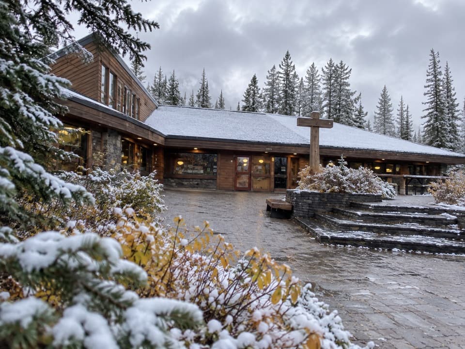
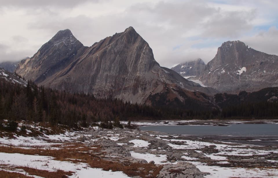
A long lakeshore approach climbs through Turbine Canyon to a high pass.

Photo: Wikimedia Commons
Length
22.1km
Time
10hr
Elev. change
632m
Difficulty
Challenging
  • Dogs allowed
  • High point 2,334 m
  • #28 of 66 in Peter Lougheed

Hear the audio tour

Elk Pass: A Meadow on the Provincial Boundary

Overview

About Great Divide Trail: Elk Pass to North Kananaskis Pass

Why go

  • Connects a long lakeshore approach with Turbine Canyon and a high alpine pass.
  • Uses established park trails through much of the approach.

Heads up

  • Remote point-to-point finish with no road pickup at North Kananaskis Pass.
  • Overnight plans depend on reservable backcountry camps; there is no resupply.

Map & elevation

The route

Loading the Peter Lougheed map
Full map
Elevation1,702–2,334 m
TrailheadElk Pass Day Use Area50.61728, -115.11239
Keep this map with you offline in the Parkwolf app

Plan your hike

Before you go

Parking

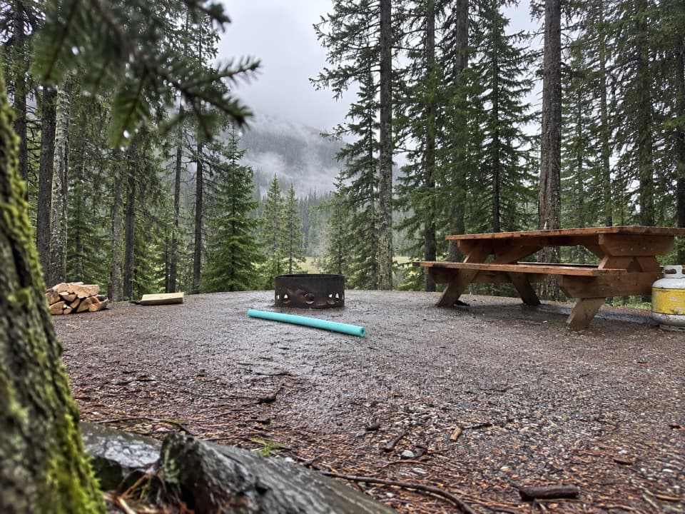
Start at Elk Pass Day Use Area off Kananaskis Lakes Trail. This is a point-to-point route ending at a remote pass with no road access; arrange a continuation or a separate return route. Vehicles in Kananaskis Country require a Conservation Pass.

Safety

This is a long, remote route ending at a high pass, and the Great Divide Trail is not consistently signed under that name. Use an offline map and plan for a backcountry exit. Continuing west beyond the pass enters a remote, infrequently maintained route with river fords.

4 active Peter Lougheed alerts

  • ClosureTrail closures and Three Isle detourMentions Three Isle, referenced in this guideThree trail sections remain closed; stay out of closed areas and follow the signed Three Isle detour to reach the open backcountry campgrounds.Official details
  • CautionBear activity near Elpoca and ValleyviewFrequent bear activity has been noted along Valleyview Road from Elpoca Day Use Area south to Highway 40, near Little Highwood Pass and Valleyview Day Use Areas; use bear precautions.Official details
See all 4 alerts
A park ranger sits on a dash-mounted phone, talking, as Parkwolf’s Tour Guide plays “Army Cutworm Moths: A Grizzly Bear Buffet” on Grand Loop Road below Dunraven Pass in Yellowstone
Parkwolf Tour GuideThe highest, rockiest slopes around here are a summer buffet for grizzly bears.

Peter Lougheed Tour Guide

Your drive to Great Divide Trail: Elk Pass to North Kananaskis Pass, narrated.

Parkwolf is a GPS audio tour guide for Peter Lougheed Provincial Park. As you drive, it chimes in with what’s ahead: hidden gems, upcoming stops, history, geology, and wildlife, right through your car’s speakers.

See the Peter Lougheed audio tour

Recorded for this trailhead

Elk Pass: A Meadow on the Provincial Boundary
0:00 / 0:25
“Up ahead is Elk Pass Day Use Area, the start of a summer hike to a meadow on the Alberta–British Columbia boundary.”

Plays as you drive up to this trailhead in the Parkwolf Peter Lougheed Tour Guide.

More stories near here in the app

  • Upper Lake: Shoreline and Sarrail Falls
  • Lower Lake Day Use: A Winter Lakeshore Stop
  • Boulton Creek: Trading Post and Creekside Break
  • North Interlakes and Panorama: Two Lake Views
  • 41 audio storiesacross Peter Lougheed’s roads, triggered by GPS as you drive
  • Wildlife heatmapsfor Grizzly Bear, Canada Lynx, Black Bear, and 13 more
  • Works offlinemaps, 66 trails, 41 places, and audio download before you lose signal
  • CarPlay readysimple controls built for the drive
★★★★★
“Fantastic app with many points of information… It’s great to just turn on while you’re driving and it gives you an audio tour of the national Park. We love it!!!!”
JMJamesApp Store review
Download Parkwolf on the App StoreGet Parkwolf on Google Play

4.7 from 8,600+ ratings

Trail guide

Hiking Great Divide Trail: Elk Pass to North Kananaskis Pass

The crossingThe Peter Lougheed stretch of the Great Divide Trail is a 13.75-mile (22.

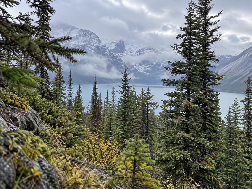
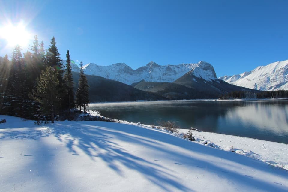
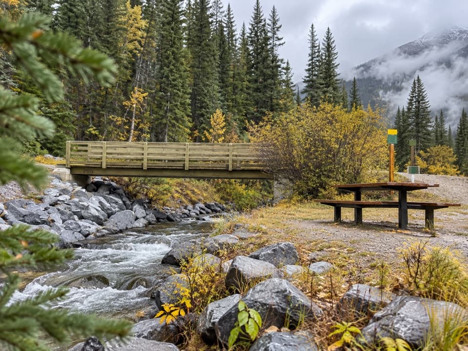
The Peter Lougheed stretch of the Great Divide Trail is a 13.75-mile (22.1-km) one-way point-to-point from Elk Pass Day Use Area to North Kananaskis Pass. It follows Upper Kananaskis Lake before heading up the valley through Forks, Lawson Lake and Turbine Canyon to the high pass. This is a hard, remote outing: allow about 10 hours for a long day on foot, and longer with a full pack or extended stops. The northern end has no road pickup, so plan a continuation into the backcountry or a separate route back; retracing the line adds another 13.75 miles.

Keep to the main routeFrom Elk Pass, the GDT follows the lake shore to Upper Lakes Trailhead, then continues north…

From Elk Pass, the GDT follows the lake shore to Upper Lakes Trailhead, then continues north through the upper valley. The line stored here is the main GDT route to North Kananaskis Pass, not the Northover Ridge alternate via Aster Lake, Three Isle Lake and South Kananaskis Pass. It is also distinct from the short Elk Pass day hike and from all of Section C, which continues for many more miles beyond the pass.

Up the valleyThe route passes Forks and Lawson Lake before reaching Turbine Canyon.

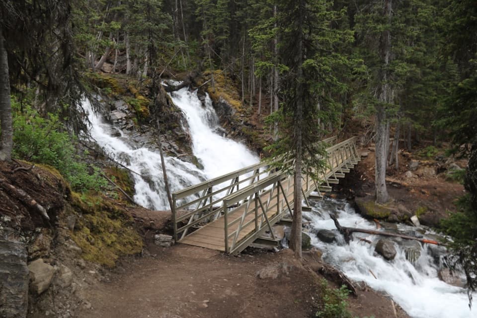
The route passes Forks and Lawson Lake before reaching Turbine Canyon. The canyon is a narrow section of the high valley and a memorable contrast to the open lakeshore. Much of this approach follows established park trails, but signs may name local trails rather than the Great Divide Trail; carry an offline map and follow the intended mainline at junctions.

The pass and beyondThe final climb reaches North Kananaskis Pass at roughly 2,330 metres.

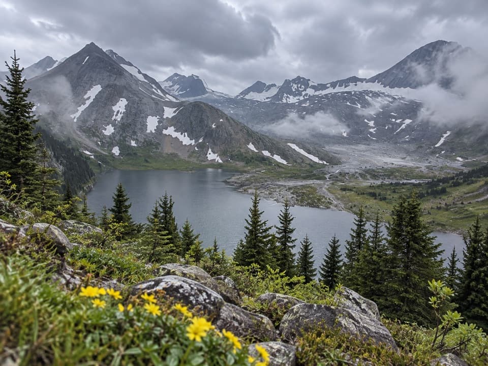
The final climb reaches North Kananaskis Pass at roughly 2,330 metres. The elevation profile rises from about 1,700 metres near the lake to more than 2,300 metres at the saddle; it is a high alpine crossing, not a simple valley walk. Beyond the pass the GDT enters British Columbia and descends toward Palliser Valley. That next stretch is outside this route and includes remote river crossings, so continuing requires its own navigation and trip plan.

Camp and accessForks and Turbine Canyon are designated backcountry campgrounds; overnight stays require…

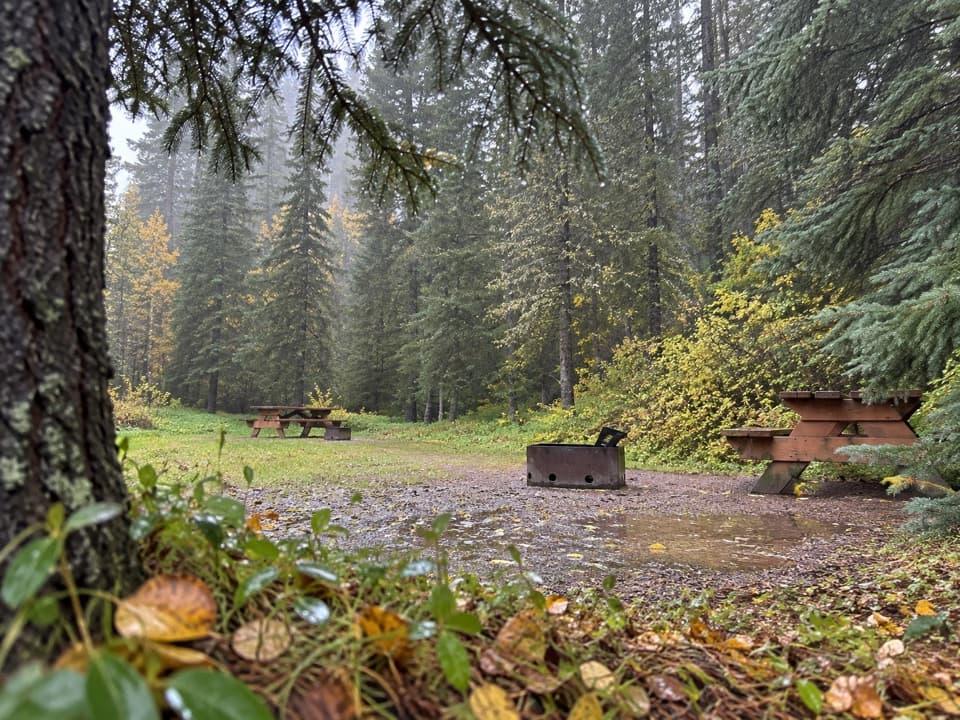
Forks and Turbine Canyon are designated backcountry campgrounds; overnight stays require advance permits or reservations, and popular sites can book early. Turbine has 15 campsites, toilets and food lockers, with no fires permitted. There is no food service or resupply along this segment, so carry what you need. Vehicles in Kananaskis Country require a Conservation Pass. Dogs are allowed on the Alberta park portion when leashed no longer than two metres.

Wildlife

Wildlife in Peter Lougheed

All Peter Lougheed wildlife maps

Sighting maps show where each species has been reported across Peter Lougheed. Wildlife moves, so no sighting is guaranteed.

Keep exploring

Near Great Divide Trail: Elk Pass to North Kananaskis Pass

See it all on the map

Trails that start nearby

Places near the trailhead

Parkwolf’s Peter Lougheed ranking

Top-rated trails in Peter Lougheed

All 66 trails
  1. 1Rawson Lake TrailModerate · 7.8 km
  2. 2Ptarmigan Cirque Interpretive TrailModerate · 4.5 km
  3. 3Burstall Pass TrailChallenging · 14.8 km
  4. 4Chester Lake TrailModerate · 9.2 km
  5. 5Upper Kananaskis Lake LoopModerate · 15.7 km
  6. 6Sarrail Ridge via Rawson LakeChallenging · 11.7 km

Take Parkwolf to Peter Lougheed.

The audio tour guide for the drive, plus offline maps, trails, and wildlife heatmaps for when the signal drops.

4.7 from 8,600+ ratings

Download Parkwolf on the App StoreGet Parkwolf on Google Play