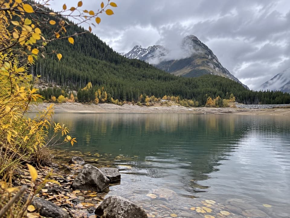
Rawson Lake Trail in Peter Lougheed Provincial Park

#1 of 66 trails in Peter Lougheed

Peter Lougheed Provincial Park, AB

Rawson Lake Trail

Lakeshore, falls, then a steady climb to a mountain-ringed lake.

Photo: Wikimedia Commons
Length
7.8km
Time
3.5hr
Elev. change
301m
Difficulty
Moderate
  • Dogs allowed
  • High point 2,003 m

Hear the audio tour

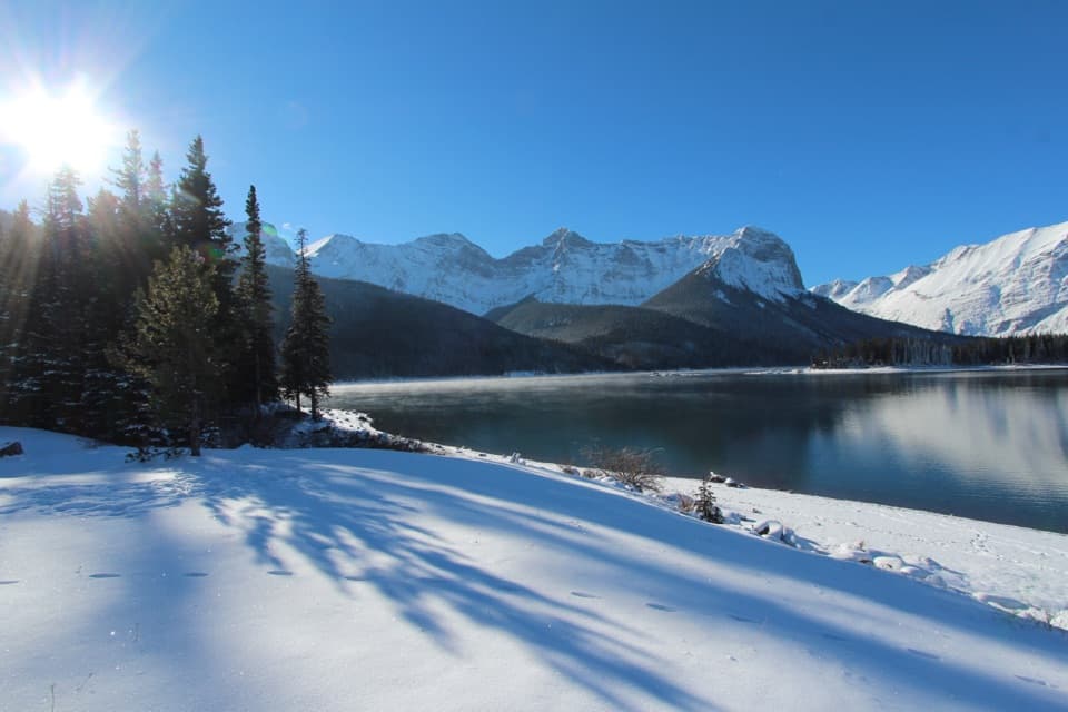
Upper Lake: Shoreline and Sarrail Falls

Overview

About Rawson Lake Trail

Why go

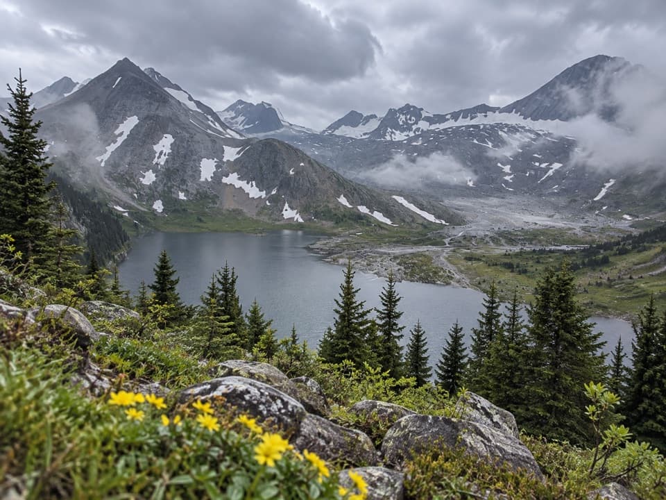
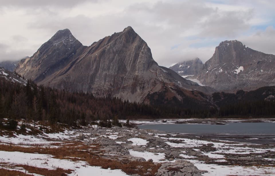
  • The lake sits beneath a dramatic ring of mountain cliffs.
  • A waterfall and lakeshore approach break up the sustained climb.

Heads up

  • Most of the ascent is a steady, sustained climb.
  • The steep return descent can feel hard on knees.
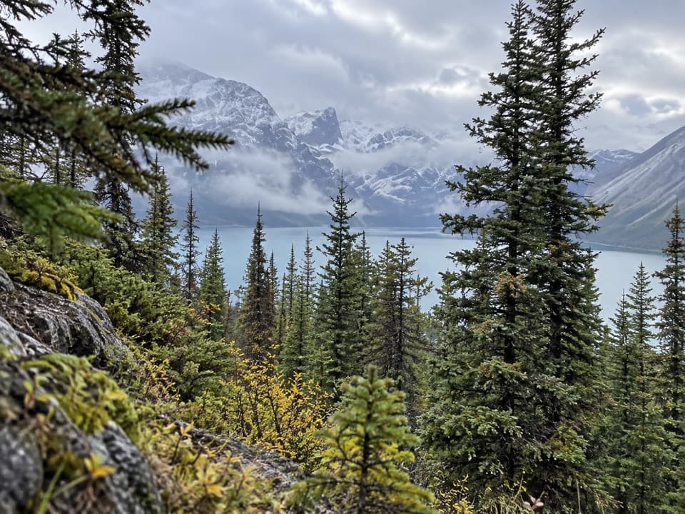
Rawson Lake Trail is a 7.8 km (4.85 mi) out-and-back from Upper Lake Day Use Area: first along the south shore of Upper Kananaskis Lake, then uphill through subalpine forest to an alpine lake beneath steep mountain walls. Alberta Parks lists it as 3.9 km one way with about 320 m of climbing; the return follows the same corridor. Allow three to four hours if you want to pause at Sarrail Creek Falls and stay a while at the lake. The shoreline start is gentle, but most of the climb comes in one sustained stretch, and you have to walk back down it.
Parkwolf’s verdictIs this the hike for you?

Map & elevation

The route

Loading the Peter Lougheed map
Full map
Elevation1,702–2,003 m
TrailheadUpper Lake Day Use Area50.61009, -115.11844
Keep this map with you offline in the Parkwolf app

Plan your hike

Before you go

Parking

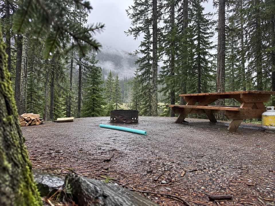
Park at Upper Lake Day Use Area, the signed access for both Rawson Lake and Upper Lake trails. A Kananaskis Conservation Pass is required for vehicles parked there. The day-use area has pit toilets and a water pump; no food vendor is documented along the hike.

Best time to go

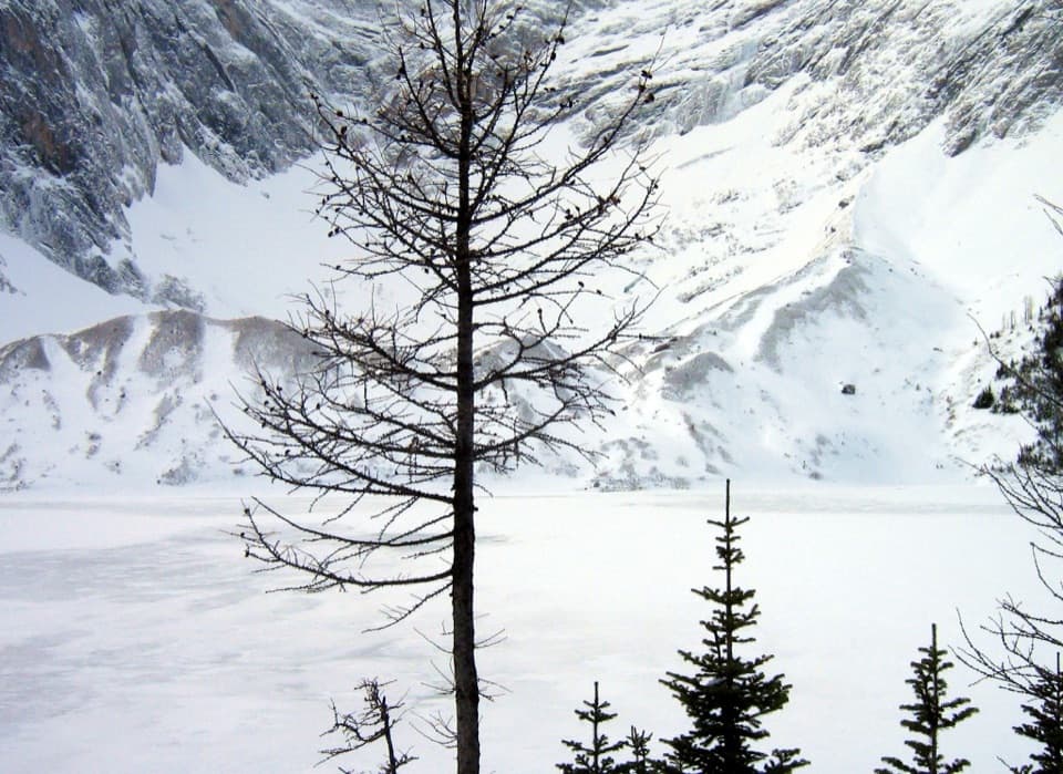
Alberta Parks lists Rawson Lake as a summer-only hiking trail. Some visitors do snowshoe in the area, but that does not make winter conditions predictable; check current advisories before going. Avalanche terrain lies beyond the lake on the separate Sarrail Ridge continuation, so do not treat it as an automatic extension in snow. The trail's group-size limit is 15 people. Pets are allowed on the route on a leash no longer than 2 m; Alberta Parks excludes pets from public beaches and swimming areas.

Safety

The 2 km upper climb is sustained and the descent retraces it. Alberta Parks lists this as a summer-only hike and caps groups at 15. Sarrail Ridge beyond the lake is a separate route that enters avalanche terrain in snow; check current advisories before any winter travel.

4 active Peter Lougheed alerts

  • ClosureTrail closures and Three Isle detourThree trail sections remain closed; stay out of closed areas and follow the signed Three Isle detour to reach the open backcountry campgrounds.Official details
  • CautionBear activity near Elpoca and ValleyviewFrequent bear activity has been noted along Valleyview Road from Elpoca Day Use Area south to Highway 40, near Little Highwood Pass and Valleyview Day Use Areas; use bear precautions.Official details
See all 4 alerts
A park ranger sits on a dash-mounted phone, talking, as Parkwolf’s Tour Guide plays “Army Cutworm Moths: A Grizzly Bear Buffet” on Grand Loop Road below Dunraven Pass in Yellowstone
Parkwolf Tour GuideThe highest, rockiest slopes around here are a summer buffet for grizzly bears.

Peter Lougheed Tour Guide

Your drive to Rawson Lake Trail, narrated.

Parkwolf is a GPS audio tour guide for Peter Lougheed Provincial Park. As you drive, it chimes in with what’s ahead: hidden gems, upcoming stops, history, geology, and wildlife, right through your car’s speakers.

See the Peter Lougheed audio tour

Recorded for this trailhead

Upper Lake: Shoreline and Sarrail Falls
0:00 / 0:34
“You're coming up on Upper Lake Day Use Area, where you can enjoy the mountain view without taking on a long hike.”

Plays as you drive up to this trailhead in the Parkwolf Peter Lougheed Tour Guide.

More stories near here in the app

  • Elk Pass: A Meadow on the Provincial Boundary
  • Lower Lake Day Use: A Winter Lakeshore Stop
  • North Interlakes and Panorama: Two Lake Views
  • Boulton Creek: Trading Post and Creekside Break
  • 41 audio storiesacross Peter Lougheed’s roads, triggered by GPS as you drive
  • Wildlife heatmapsfor Grizzly Bear, Canada Lynx, Black Bear, and 13 more
  • Works offlinemaps, 66 trails, 41 places, and audio download before you lose signal
  • CarPlay readysimple controls built for the drive
★★★★★
“Fantastic app with many points of information… It’s great to just turn on while you’re driving and it gives you an audio tour of the national Park. We love it!!!!”
JMJamesApp Store review
Download Parkwolf on the App StoreGet Parkwolf on Google Play

4.7 from 8,600+ ratings

Trail guide

Hiking Rawson Lake Trail

Shoreline to the fallsFrom the day-use area, follow the Upper Lake Trail beside the water for about 1.1 km.

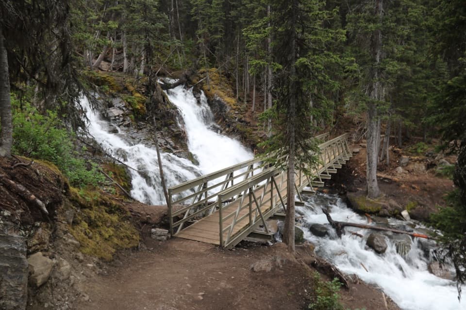
From the day-use area, follow the Upper Lake Trail beside the water for about 1.1 km. This is the easier warm-up, with small rises and dips along the shore. At Sarrail Creek, a bridge crosses beside the falls; shortly afterward, follow the signed Rawson Lake branch away from the lakeshore. A short boardwalk is part of the route. The fork matters: stay on the branch for Rawson Lake rather than continuing around Upper Kananaskis Lake.

The steady climbAfter the junction, the walk changes character.

After the junction, the walk changes character. The trail climbs steadily through subalpine forest for roughly 2 km, gaining most of the route's 320 m. The tread is unpaved but well defined, and the way is straightforward to follow; the effort comes from holding the uphill pace. Some hikers find the sustained grade tiring, especially on the descent. Take a breather when you need one, and consider poles if steep downhill walking bothers your knees. Near the end, the grade eases before the trees open into the lake basin.

The lake is the destinationRawson Lake sits in a hanging valley of alpine meadow and mountain peaks, below the cliffs of…

Rawson Lake sits in a hanging valley of alpine meadow and mountain peaks, below the cliffs of Mount Sarrail and its northern outlier. The lake is the payoff for the climb; you do not need to continue farther to make this a worthwhile walk. For a photo, include a strip of water in the foreground and the cliff wall beyond it, so the mountain setting reads as a basin rather than a tight rock portrait. The marked Rawson Lake trail ends at the shore. Sarrail Ridge continues beyond as a separate, more demanding route and is not included in this distance.

Starting point and suppliesPark at Upper Lake Day Use Area, the signed access for both the Rawson Lake and Upper Lake…

Park at Upper Lake Day Use Area, the signed access for both the Rawson Lake and Upper Lake trails. A Kananaskis Conservation Pass is required for vehicles parked there. The day-use area has pit toilets and a water pump; no food vendor or reliable refill point is documented along the hike, so bring food and enough water for the climb and return.

Wildlife

Wildlife in Peter Lougheed

All Peter Lougheed wildlife maps

Sighting maps show where each species has been reported across Peter Lougheed. Wildlife moves, so no sighting is guaranteed.

Keep exploring

Near Rawson Lake Trail

See it all on the map

Trails that start nearby

Places near the trailhead

Parkwolf’s Peter Lougheed ranking

Top-rated trails in Peter Lougheed

All 66 trails
  1. 2Ptarmigan Cirque Interpretive TrailModerate · 4.5 km
  2. 3Burstall Pass TrailChallenging · 14.8 km
  3. 4Chester Lake TrailModerate · 9.2 km
  4. 5Upper Kananaskis Lake LoopModerate · 15.7 km
  5. 6Sarrail Ridge via Rawson LakeChallenging · 11.7 km
  6. 7Arethusa Cirque TrailModerate · 3.9 km

Take Parkwolf to Peter Lougheed.

The audio tour guide for the drive, plus offline maps, trails, and wildlife heatmaps for when the signal drops.

4.7 from 8,600+ ratings

Download Parkwolf on the App StoreGet Parkwolf on Google Play