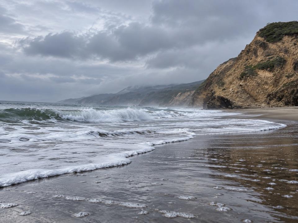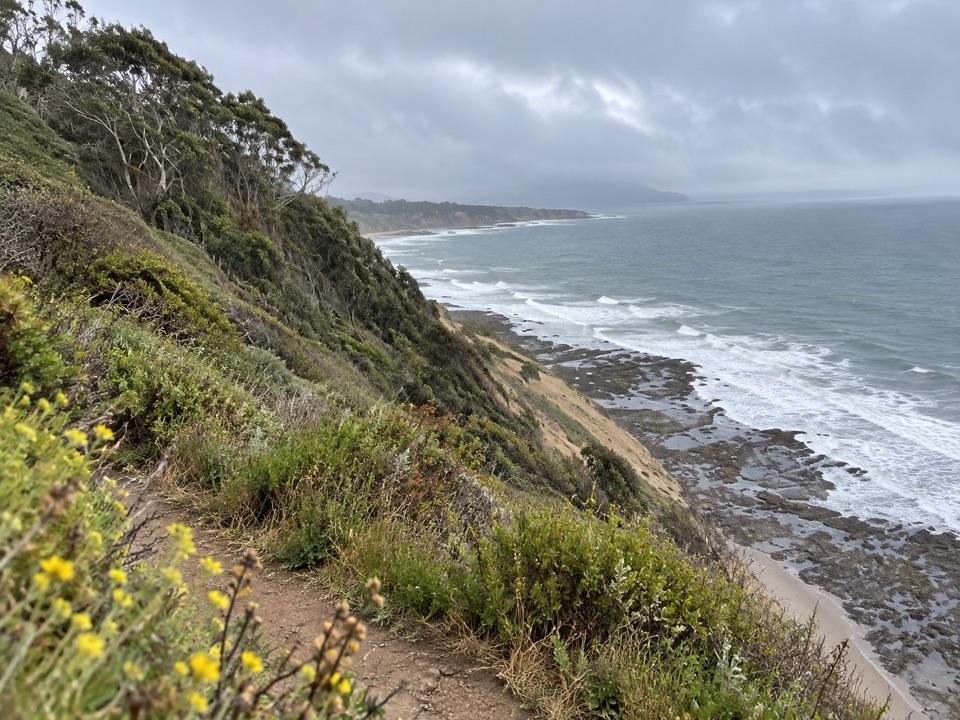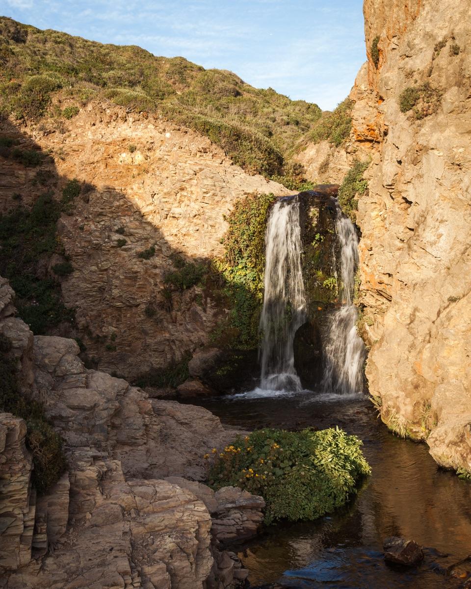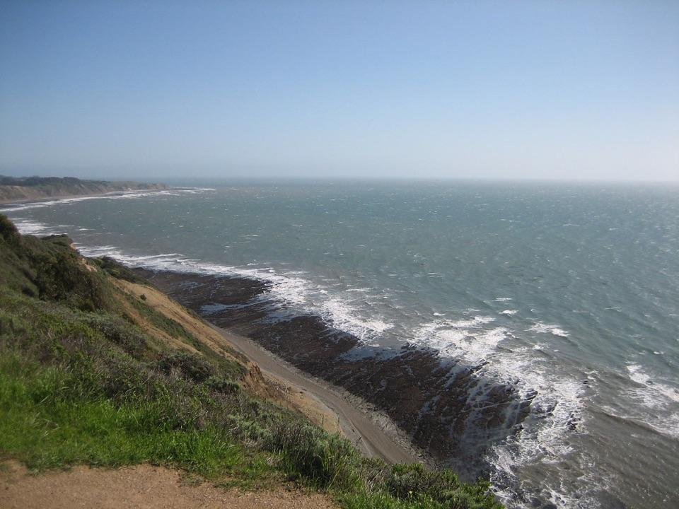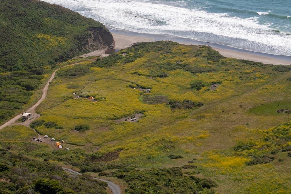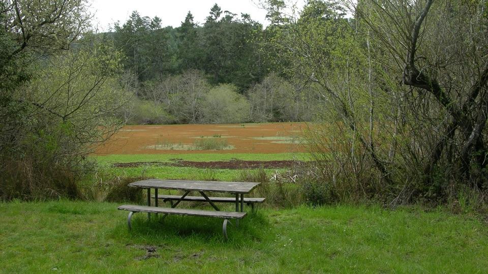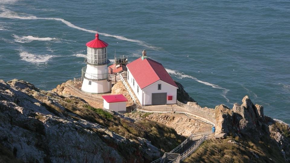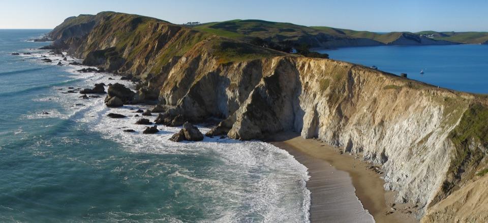
Palomarin Field Station in Point Reyes National Seashore

Visitor center · Point Reyes National Seashore

Palomarin Field Station

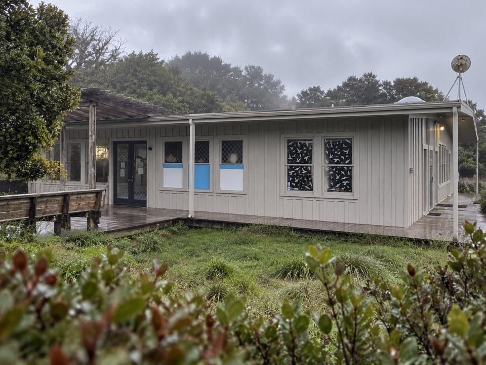
A working bird station with a public nature center and trail.

Type
Visitor center
Nearest trail
0.1 mi
Audio stories
4 nearby
  • Trailhead
  • Parking
  • Restrooms

Hear the audio tour

After the Pelican's Splash
Download Parkwolf on the App StoreGet Parkwolf on Google Play

4.7 from 8,600+ ratings

Overview

About Palomarin Field Station

Why stop

  • Scheduled bird-banding demos bring the park’s long-running research into view.

Heads up

  • Fixed drop-in hours aren’t clear; visitor timing depends on the current schedule.

Map

Where it is

Loading the Point Reyes map
Full map
Visitor centerPalomarin Field Station37.92993, -122.73569
Keep this map with you offline in the Parkwolf app

Plan your stop

Before you go

4 active Point Reyes alerts

  • CautionCoastal flooding risk along Point Reyes through Nov. 26Use caution along Point Reyes shorelines and tidal waterways: a Coastal Flood Advisory is in effect through 4 p.m. PST Thursday, November 26. - Up to 2.Official details
  • ClosurePalomarin Beach Trail closedPalomarin Beach Trail is closed to all visitors, employees, and residents because unstable and failing trail sections have been determined unsafe. - The closure is in effect until further notice.Official details

See all 4 alerts
A park ranger sits on a dash-mounted phone, talking, as Parkwolf’s Tour Guide plays “Army Cutworm Moths: A Grizzly Bear Buffet” on Grand Loop Road below Dunraven Pass in Yellowstone
Parkwolf Tour GuideThe highest, rockiest slopes around here are a summer buffet for grizzly bears.

Point Reyes Tour Guide

Your drive to Palomarin Field Station, narrated.

Parkwolf is a GPS audio tour guide for Point Reyes National Seashore. As you drive, it chimes in with what’s ahead: hidden gems, upcoming stops, history, geology, and wildlife, right through your car’s speakers.

See the Point Reyes audio tour

Recorded for this area

After the Pelican's Splash
0:00 / 0:23
“At a Point Reyes beach, a line of brown pelicans may skim just above the breakers. If one climbs and makes a headfirst dive, watch what happens after the splash. Air sacs beneath its breast cushion the impact.”

Plays on the road 0.2 mi from Palomarin Field Station in the Parkwolf Point Reyes Tour Guide.

More stories near here in the app

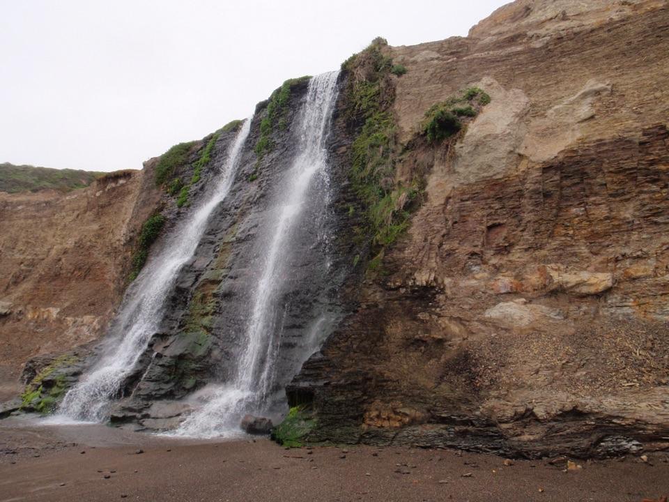
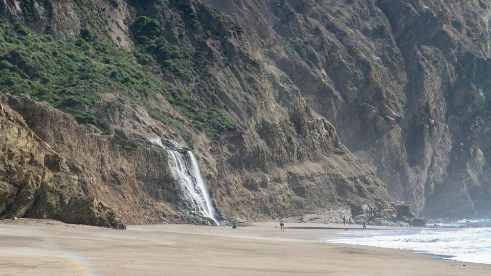
  • Palomarin Trailhead and Alamere Falls
  • The Bird Record on Mesa Road
  • Why the Radio Stations Stood Apart
  • A Landing Place for Lost Birds
  • 61 audio storiesacross Point Reyes’s roads, triggered by GPS as you drive
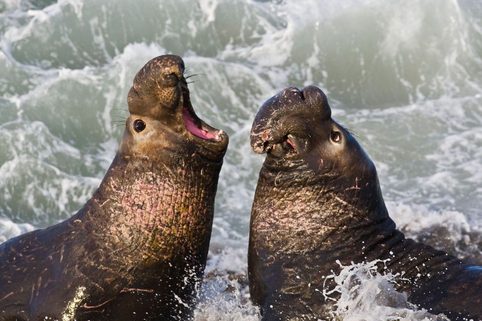
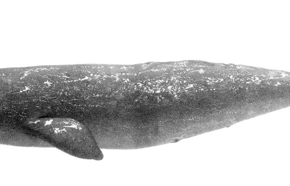
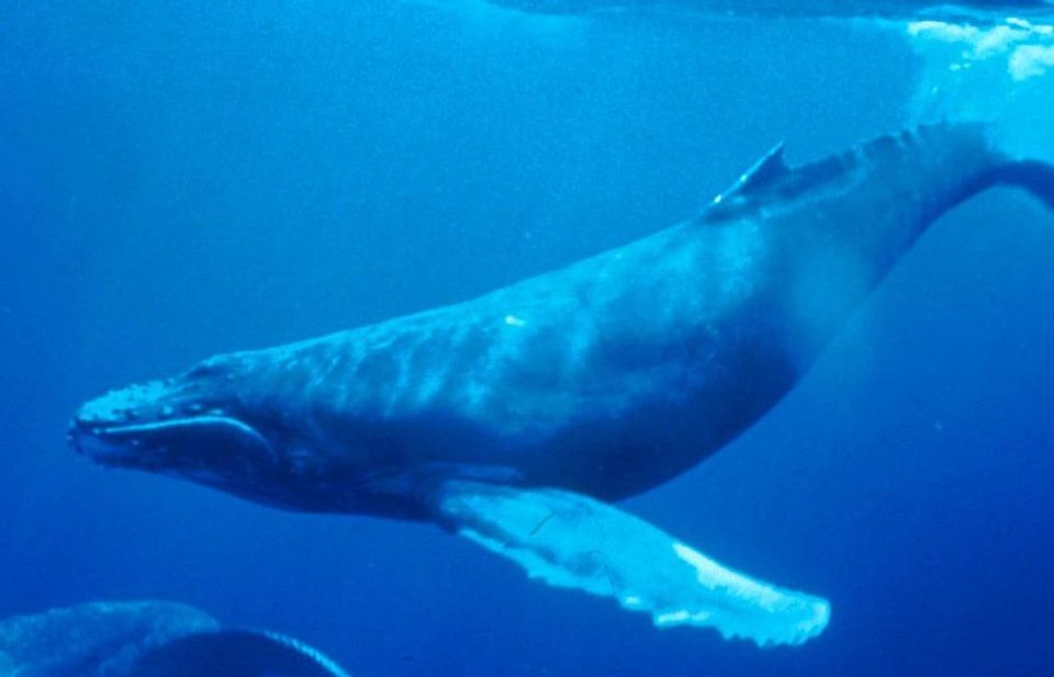
  • Wildlife heatmapsfor Northern Elephant Seal, Grey Whale, Humpback Whale, and 13 more
  • Works offlinemaps, 65 trails, 43 places, and audio download before you lose signal
  • CarPlay readysimple controls built for the drive
★★★★★
“Fantastic app with many points of information… It’s great to just turn on while you’re driving and it gives you an audio tour of the national Park. We love it!!!!”
JMJamesApp Store review
Download Parkwolf on the App StoreGet Parkwolf on Google Play

4.7 from 8,600+ ratings

Guide

More about Palomarin Field Station

A different kind of stopPalomarin Field Station is Point Blue Conservation Science's working bird research base at the…

Palomarin Field Station is Point Blue Conservation Science's working bird research base at the southern end of Point Reyes National Seashore. The best reason to stop is a scheduled bird-banding demonstration or a closer look at the research behind local conservation. If your day is mainly about dramatic coastal scenery, spend your time at a beach or overlook.

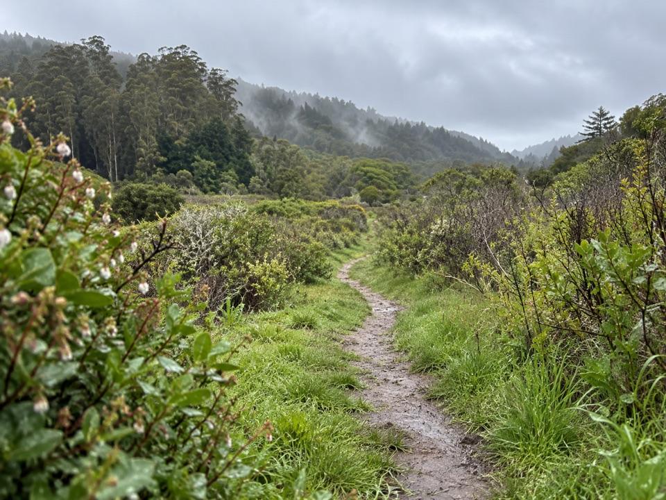
What visitors can doVisitors are welcome to explore the Nature Center and take the Nature Trail toward Fern Canyon.

Visitors are welcome to explore the Nature Center and take the Nature Trail toward Fern Canyon. On scheduled days, they can join scientists for a bird-banding demonstration; check the current schedule before driving out if seeing the banding is your reason. Visitor reviews mention the staff's knowledge and helpful explanations.

A long-running field recordThe station began in 1966 and is one of the oldest continuously running bird-banding sites in…

The station began in 1966 and is one of the oldest continuously running bird-banding sites in the country. Its long-term records track changes in bird numbers and habitat, connecting a walk in the park with decades of field research.

Plan aheadUse 999 Mesa Road in Bolinas.

Use 999 Mesa Road in Bolinas. An on-site lot is mapped as no-fee, and a restroom is mapped too, though its type and visitor access aren't specified. Food and drinking water weren't confirmed, so bring what you need. Fixed drop-in hours weren't found; check the current banding schedule, and arrange group visits ahead.

Wildlife

Wildlife in Point Reyes

All Point Reyes wildlife maps

Sighting maps show where each species has been reported across Point Reyes. Wildlife moves, so no sighting is guaranteed.

Parkwolf’s Point Reyes ranking

Top sights in Point Reyes

All 43 places
  1. 1Point Reyes LighthouseSight
  2. 2Chimney RockSight
  3. 3Drakes BeachBeach
  4. 4Cypress Tree TunnelSight
  5. 5Alamere FallsSight
  6. 6Pierce Point RanchSight

Take Parkwolf to Point Reyes.

The audio tour guide for the drive, plus offline maps, trails, and wildlife heatmaps for when the signal drops.

4.7 from 8,600+ ratings

Download Parkwolf on the App StoreGet Parkwolf on Google Play