Alamere Falls via Palomarin and Wildcat Beach in Point Reyes National Seashore

#2 of 65 trails in Point Reyes

Point Reyes National Seashore, CA

Alamere Falls via Palomarin and Wildcat Beach

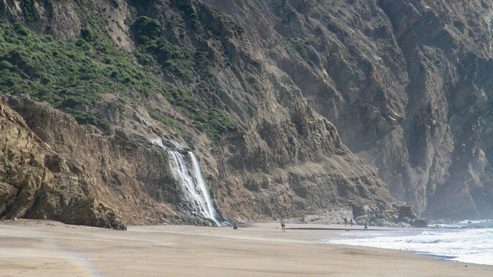
A long coastal hike ends at a waterfall spilling onto Wildcat Beach.

Photo: Public Domain
Length
13.2mi
Time
7.5hr
Elev. change
646ft
Difficulty
Challenging
  • No dogs
  • High point 646 ft

Hear the audio tour

Palomarin Trailhead and Alamere Falls

Overview

About Alamere Falls via Palomarin and Wildcat Beach

Why go

  • A 40-foot waterfall spills directly onto Wildcat Beach.
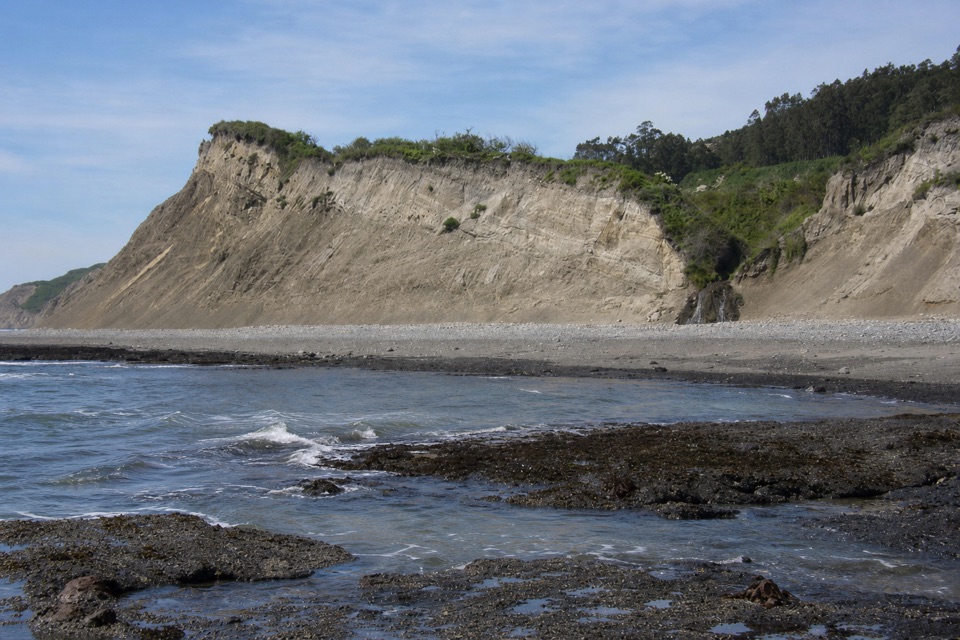
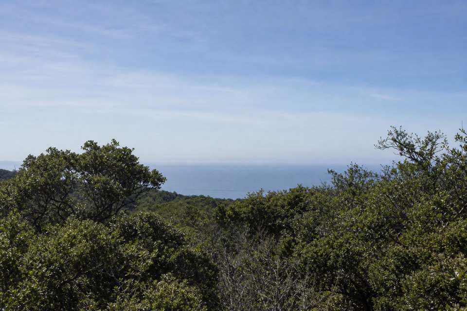
  • Bluff views, lakes, and forest break up the long coastal approach.

Heads up

  • A 13.2-mile round trip with repeated climbs.
  • High tide or surf can cut off the beach finish.

Map & elevation

The route

Loading the Point Reyes map
Full map
Elevation0–646 ft
TrailheadPalomarin Trailhead37.93429, -122.74716
Keep this map with you offline in the Parkwolf app

Plan your hike

Before you go

Parking

Palomarin Trailhead is at the northwest end of Mesa Road. Its gravel and dirt lot holds about 75 vehicles and fills very early on weekends year-round and many summer weekdays. The last 1.2 miles of Mesa Road is unpaved and often potholed and washboarded; late arrivals may be turned away when the lot fills.

Safety

Wildcat Beach can be inundated at high tide; surf can reach the bluff base even at low tide, and no tide height guarantees safe passage. Turn around if waves reach the bluffs. Stay back from eroding cliff edges and do not use the unmaintained shortcut. There is no potable water at Palomarin. Pets are prohibited on this route; service dogs are allowed.

4 active Point Reyes alerts

  • ClosureOld Tocaloma/Platform Bridge closed to vehiclesDo not drive across the Old Tocaloma/Platform Bridge; it is closed to all vehicular traffic until further notice.Official details
  • ClosurePalomarin Beach Trail closedPalomarin Beach Trail is closed to all visitors, employees, and residents until further notice; do not use the trail. - The trail is closed because unstable and failing sections have made it unsafe.Official details
See all 4 alerts
A park ranger sits on a dash-mounted phone, talking, as Parkwolf’s Tour Guide plays “Army Cutworm Moths: A Grizzly Bear Buffet” on Grand Loop Road below Dunraven Pass in Yellowstone
Parkwolf Tour GuideThe highest, rockiest slopes around here are a summer buffet for grizzly bears.

Point Reyes Tour Guide

Your drive to Alamere Falls via Palomarin and Wildcat Beach, narrated.

Parkwolf is a GPS audio tour guide for Point Reyes National Seashore. As you drive, it chimes in with what’s ahead: hidden gems, upcoming stops, history, geology, and wildlife, right through your car’s speakers.

Recorded for this trailhead

Palomarin Trailhead and Alamere Falls
0:00 / 0:32
“You're approaching Palomarin Trailhead, the start of the long Coast Trail hike to Alamere Falls.”

Plays as you drive up to this trailhead in the Parkwolf Point Reyes Tour Guide.

More stories near here in the app

  • After the Pelican's Splash
  • The Bird Record on Mesa Road
  • Why the Radio Stations Stood Apart
  • The Coast Miwok Story Continues
  • 61 audio storiesacross Point Reyes’s roads, triggered by GPS as you drive
  • Wildlife heatmapsfor Northern Elephant Seal, Grey Whale, Humpback Whale, and 13 more
  • Works offlinemaps, 65 trails, 41 places, and audio download before you lose signal
  • CarPlay readysimple controls built for the drive
★★★★★
“Fantastic app with many points of information… It’s great to just turn on while you’re driving and it gives you an audio tour of the national Park. We love it!!!!”
JMJamesApp Store review
Download Parkwolf on the App StoreGet Parkwolf on Google Play

4.7 from 8,600+ ratings

Trail guide

Hiking Alamere Falls via Palomarin and Wildcat Beach

A full day for the fallsAlamere Falls via Palomarin is a roughly 13.2-mile round-trip hike.

Alamere Falls via Palomarin is a roughly 13.2-mile round-trip hike. From Palomarin Trailhead, the Coast Trail rolls north to Wildcat Camp, then a beach access path leads to about 1.1 miles south along Wildcat Beach. At the end, water drops about 40 feet from coastal bluffs onto the sand. Allow six to eight hours. This suits hikers who want a full day of changing coast and forest and can line up the beach section with a safe tide and surf window. The repeated climbs make the return feel longer than the map suggests, and the sand adds a different kind of work.

Bass Lake is 2.8 miles from the start, making a useful 5.6-mile round-trip alternative if you want the coastal approach without committing to the beach and falls. Keep to the recommended Wildcat Camp route for the falls. The eroded old bluff route is unmaintained; loose ground and cliff exposure there have led to rescues.

Bluffs, ponds, and rolling climbsThe first mile follows ocean bluff tops, then the path turns inland, drops into a small valley,…

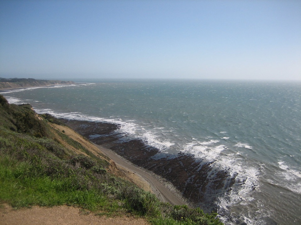
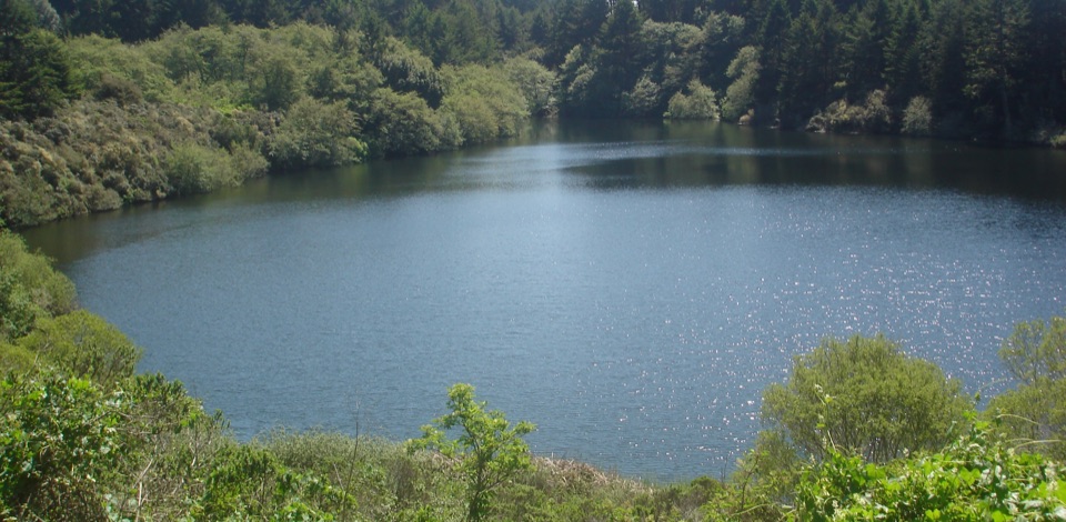
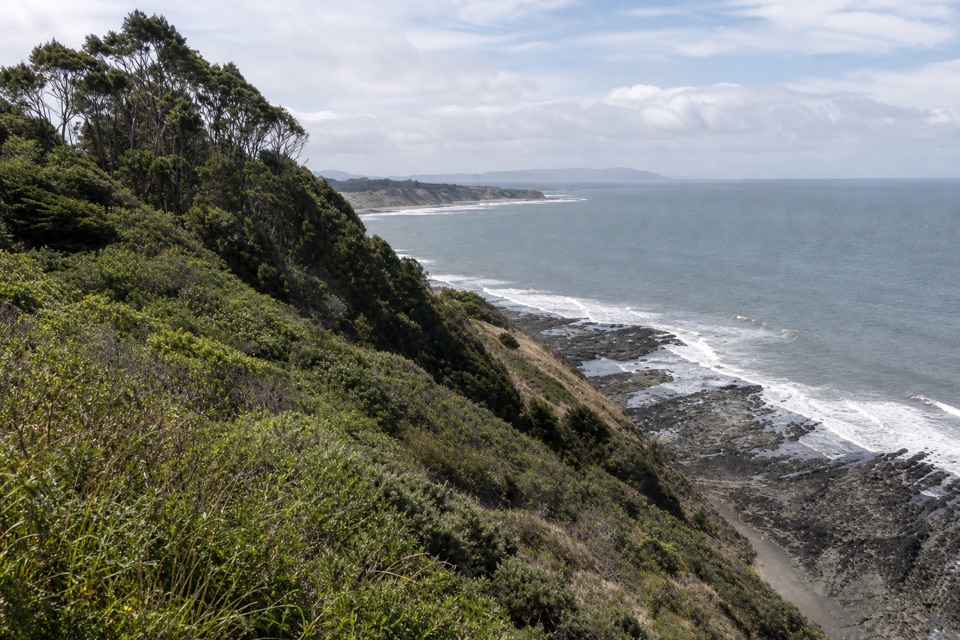
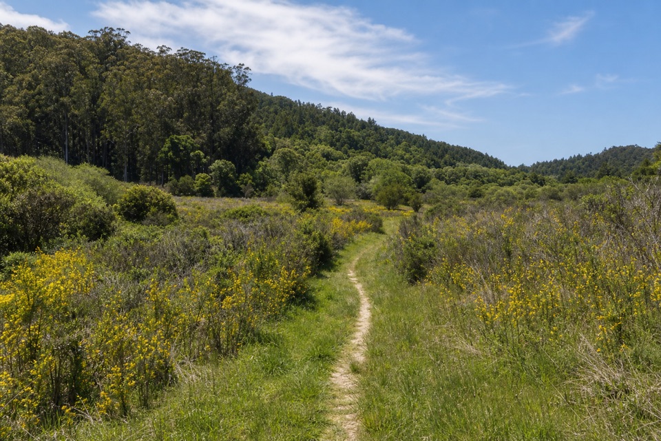
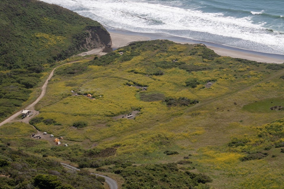
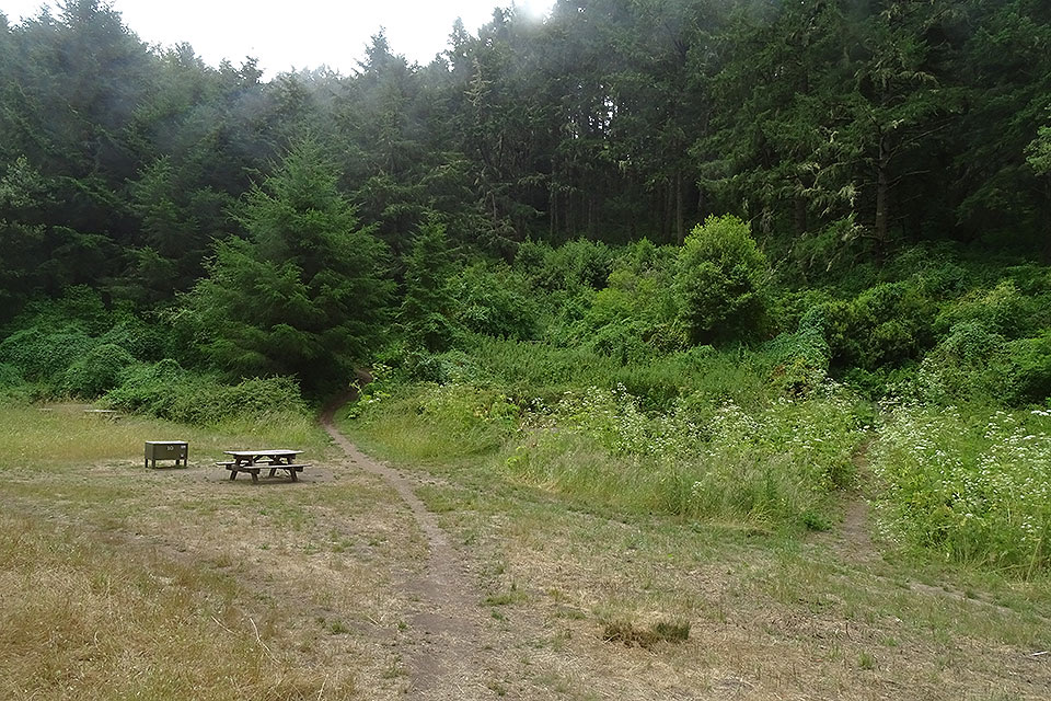
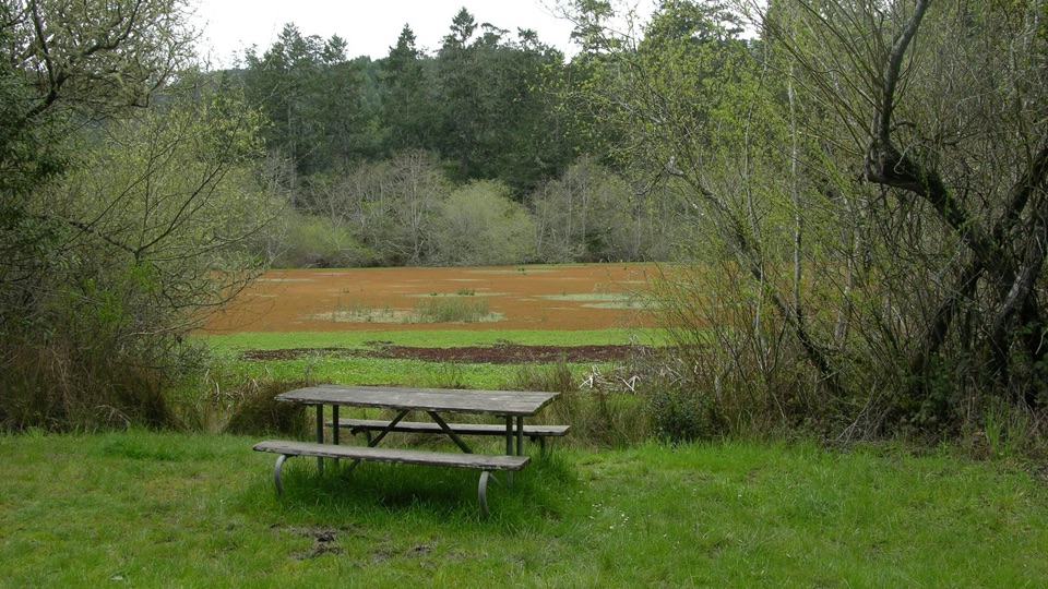
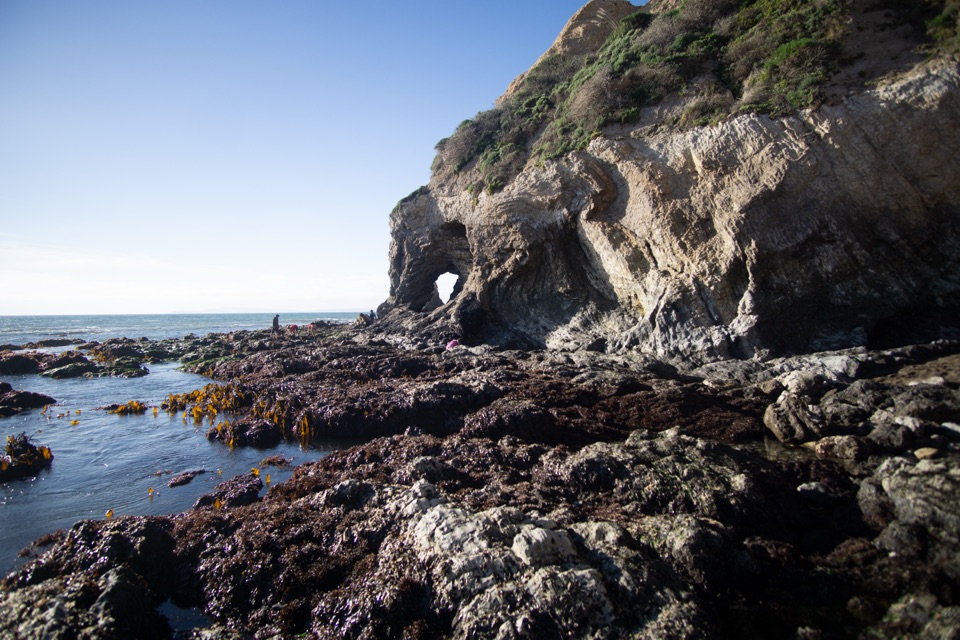
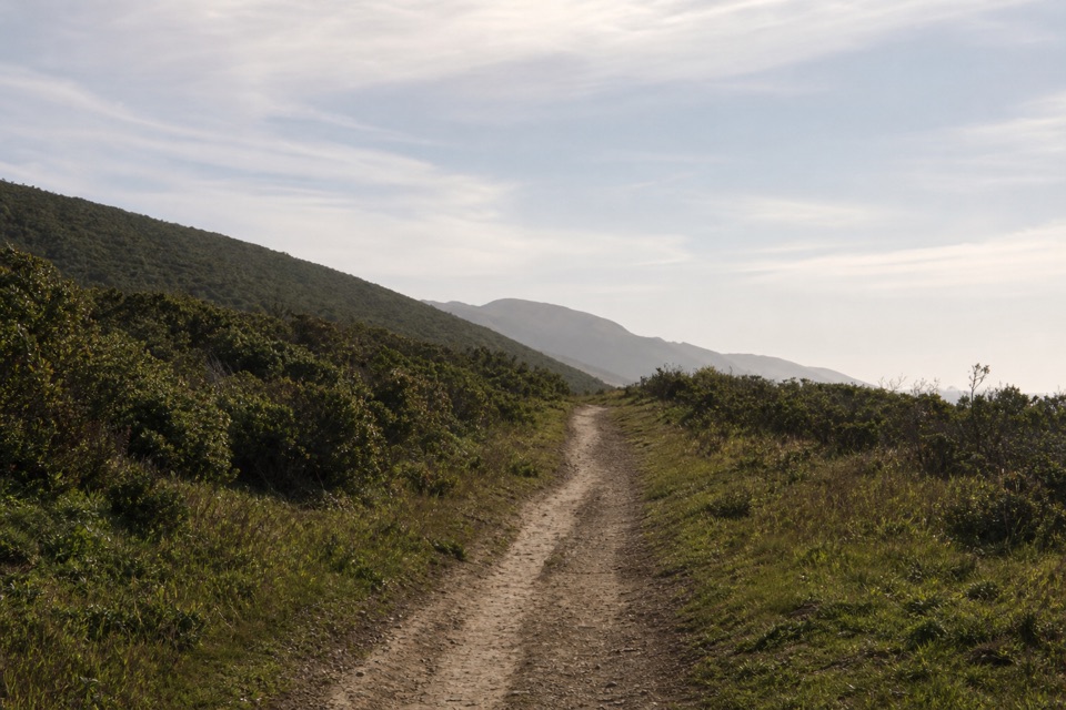
The first mile follows ocean bluff tops, then the path turns inland, drops into a small valley, and climbs switchbacks over a pass. Small ponds, Bass Lake at 2.8 miles, and a view of Pelican Lake at about 3.4 miles break up the hike. After another 0.8 miles, the trail reaches the Ocean Lake Loop junction. Stay on Coast Trail for the direct route through coastal scrub and forest, then descend the final 0.2 miles to Wildcat Campground. The alternate Ocean Lake Loop drops by Ocean Lake before climbing steeply to bluffs with views along the shore; its two branches rejoin after 1.1 miles, so treat it as an optional variation, not part of this trail's distance.

The terrain is a repeated mix of climbing and descending, not one long climb. You will earn your miles before the beach, and you retrace those hills on the way back.


The tide decides the last mileFrom the south side of camp, use the well-worn access to Wildcat Beach and continue south only…

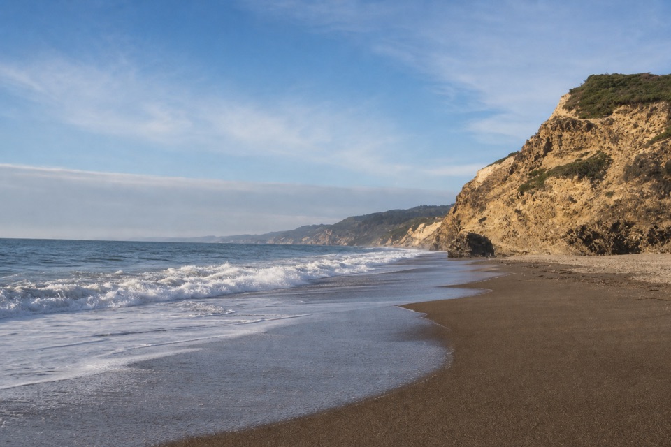
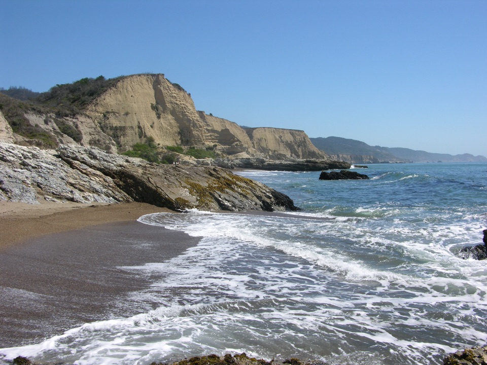
From the south side of camp, use the well-worn access to Wildcat Beach and continue south only when the water leaves a safe passage. High tide can cover the beach; even at low tide, surf can push waves to the bluff base. There is no tide height that guarantees a safe crossing. The beach usually has more exposed sand in summer and fall than in winter and spring, but check both tide and surf conditions before you go. If waves reach the bluffs, turn around rather than squeezing through.

The waterfall drops about 40 feet straight onto the beach, an unusual coastal finish after miles of bluff, lakes, and woods. A photo that keeps some of Wildcat Beach and coastline around the falling water shows where the stream lands. Take it from open sand, well back from eroding cliff edges, and never climb down from above.

Parking and practical detailsPalomarin Trailhead is at the northwest end of Mesa Road.

Palomarin Trailhead is at the northwest end of Mesa Road. Its gravel and dirt lot holds about 75 vehicles and fills very early on weekends year-round and many summer weekdays. The last 1.2 miles of Mesa Road is unpaved and often potholed and washboarded. Late arrivals may be turned away when the lot fills, so do not count on roadside parking.

There are four vault toilets at the trailhead, but no potable water there and no food services at or beyond the trailheads. Wildcat Campground has a water faucet roughly one mile north of the falls; fill before setting out and bring food for the long hike. Pets are prohibited on the route. Service dogs are allowed.

Wildlife

Wildlife in Point Reyes

All Point Reyes wildlife maps

Sighting maps show where each species has been reported across Point Reyes. Wildlife moves, so no sighting is guaranteed.

Keep exploring

Near Alamere Falls via Palomarin and Wildcat Beach

See it all on the map

Trails that start nearby

Places near the trailhead

Parkwolf’s Point Reyes ranking

Top-rated trails in Point Reyes

All 65 trails
  1. 1Tomales Point TrailChallenging · 9.5 mi
  2. 3Chimney Rock TrailEasy · 1.8 mi
  3. 4Abbotts Lagoon TrailEasy · 2.8 mi
  4. 5Bear Valley Trail to Miller PointModerate · 9 mi
  5. 6Drakes Head via Estero TrailModerate · 8.8 mi
  6. 7Laguna-Coast LoopModerate · 5 mi

Take Parkwolf to Point Reyes.

The audio tour guide for the drive, plus offline maps, trails, and wildlife heatmaps for when the signal drops.

4.7 from 8,600+ ratings

Download Parkwolf on the App StoreGet Parkwolf on Google Play