Wildcat Beach in Point Reyes National Seashore

Beach · Point Reyes National Seashore

Wildcat Beach

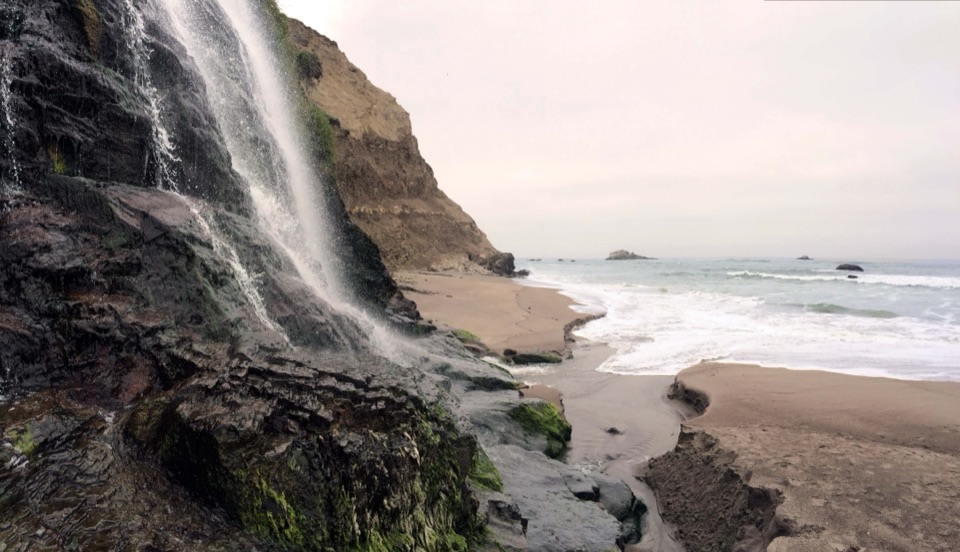
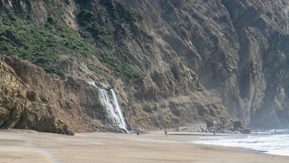
Remote 2.9-mile beach with Alamere Falls dropping onto the sand

Photo: National Park Service
Type
Beach
Nearest trail
2.9 mi
  • Restrooms
  • Scenic viewpoint

Hear the audio tour

Palomarin Trailhead and Alamere Falls

Overview

About Wildcat Beach

Why stop

  • Long wilderness beach with Alamere Falls at its southern end
  • Quiet, secluded feel on a long coastal hike

Heads up

  • Long hike from every trailhead
  • High tides and rough surf can limit beach walking
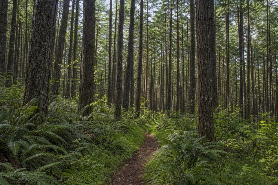
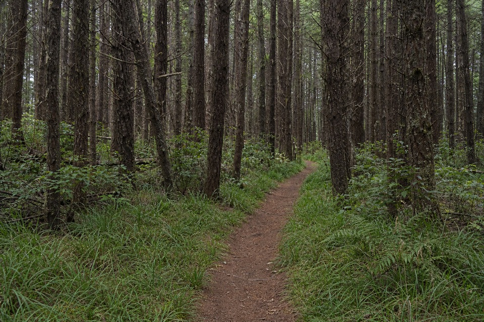
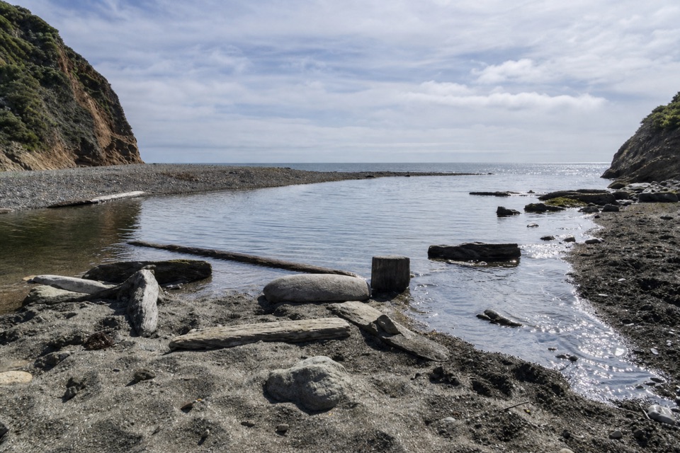
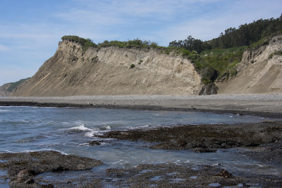
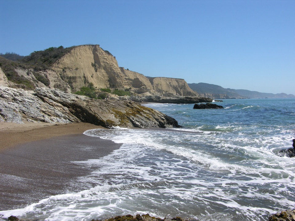
Wildcat Beach is a 2.9-mile (4.7 km) west-facing beach deep in the Phillip Burton Wilderness, backed by steep coastal bluffs. The defining view is at the southern end, where Alamere Falls drops from the bluff onto the sand. Reached only on foot, it has a quiet, cut-off feel and makes a natural pause or lunch spot in the middle of a long coastal hike.
Parkwolf’s verdictWhy stop here

Map

Where it is

Loading the Point Reyes map
Full map
BeachWildcat Beach37.96530, -122.79138
Keep this map with you offline in the Parkwolf app

Plan your stop

Before you go

How access works

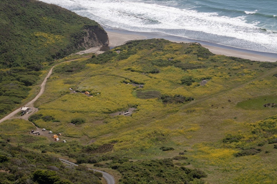
The beach is safely reached from Wildcat Campground, which sits at least 5.5 miles from the nearest trailhead. There is no road to the shoreline and no drive-up access.

Plan a full day or an overnight, and expect a long return hike with the same mileage. Pets are prohibited on Wildcat Beach and on the connecting trails.

  • Shortest approach: the Coast Trail from Palomarin.
  • Bear Valley: at least 6.3 miles.
  • Five Brooks: 6.7 miles by the Stewart Trail to the campground.

4 active Point Reyes alerts

  • ClosureOld Tocaloma/Platform Bridge closed to vehiclesDo not drive across the Old Tocaloma/Platform Bridge; it is closed to all vehicular traffic until further notice.Official details
  • ClosurePalomarin Beach Trail closedPalomarin Beach Trail is closed to all visitors, employees, and residents until further notice; do not use the trail. - The trail is closed because unstable and failing sections have made it unsafe.Official details
See all 4 alerts
A park ranger sits on a dash-mounted phone, talking, as Parkwolf’s Tour Guide plays “Army Cutworm Moths: A Grizzly Bear Buffet” on Grand Loop Road below Dunraven Pass in Yellowstone
Parkwolf Tour GuideThe highest, rockiest slopes around here are a summer buffet for grizzly bears.

Point Reyes Tour Guide

Your drive to Wildcat Beach, narrated.

Parkwolf is a GPS audio tour guide for Point Reyes National Seashore. As you drive, it chimes in with what’s ahead: hidden gems, upcoming stops, history, geology, and wildlife, right through your car’s speakers.

Recorded for this place

Palomarin Trailhead and Alamere Falls
0:00 / 0:32
“You're approaching Palomarin Trailhead, the start of the long Coast Trail hike to Alamere Falls.”

Plays as you drive up to Wildcat Beach in the Parkwolf Point Reyes Tour Guide.

More stories near here in the app

  • Five Brooks Picnic Area
  • The Mill Behind Five Brooks Pond
  • A Pond Made by a Fault
  • After the Pelican's Splash
  • 61 audio storiesacross Point Reyes’s roads, triggered by GPS as you drive
  • Wildlife heatmapsfor Northern Elephant Seal, Grey Whale, Humpback Whale, and 13 more
  • Works offlinemaps, 65 trails, 41 places, and audio download before you lose signal
  • CarPlay readysimple controls built for the drive
★★★★★
“Fantastic app with many points of information… It’s great to just turn on while you’re driving and it gives you an audio tour of the national Park. We love it!!!!”
JMJamesApp Store review
Download Parkwolf on the App StoreGet Parkwolf on Google Play

4.7 from 8,600+ ratings

Guide

More about Wildcat Beach

What to doWalk about one mile south from Wildcat Campground toward Alamere Falls, the reason most people…
  • Walk about one mile south from Wildcat Campground toward Alamere Falls, the reason most people come.
  • Walk about two miles north toward a boulder-strewn stretch below Miller Point.
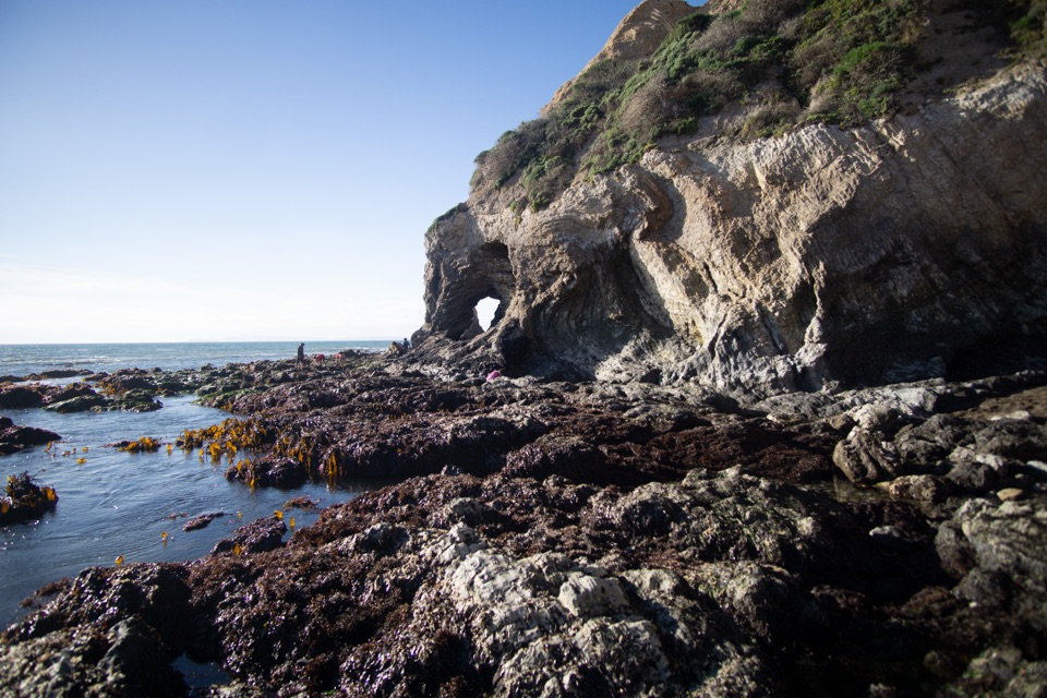
  • Tidepools may appear at both ends of the beach at lower water.
  • Fishing is permitted. Photography is rewarding along the bluffs, and the west-facing shore favors late-day light.
Facilities, and what is whereWildcat Beach itself has no facilities.

Wildcat Beach itself has no facilities. The vault toilet and potable-water faucet are at Wildcat Campground, not at the shoreline. Food services are not available at or beyond the trailheads on these routes, so carry everything you need.

Keep the three places straight: Wildcat Beach is the shoreline, Wildcat Campground is the designated camp above it, and Alamere Falls is the waterfall at the beach's southern end.

Tides and surfHigh tides frequently cover much of the beach, which can cut off walking in either direction.
  • High tides frequently cover much of the beach, which can cut off walking in either direction. Time the walk south for lower water and watch the tide turn behind you.
  • Sneaker waves and rip currents are real hazards on this exposed coast.
  • Ocean temperatures can be around 50 degrees F (10 degrees C), and hypothermia is a genuine risk. Swimming and wading are not recommended.
What to bringWater and a way to refill at the campground faucet, food for the whole outing, wind and rain…

Water and a way to refill at the campground faucet, food for the whole outing, wind and rain layers, sturdy footwear for rough, pebbly sand, a tide table, and a map. There is no parking or food service to rely on at the beach.

Rules that matter hereBeach camping is prohibited. Camping is allowed only at designated Wildcat Campground sites.
  • Beach camping is prohibited. Camping is allowed only at designated Wildcat Campground sites.
  • Leave shells, rocks, fossils, flowers, and artifacts where you find them.
  • Do not chase or feed birds, and keep your distance from seals and sea lions.
  • Drones, metal detectors, and glass containers are prohibited. Wood fires require a permit.
Honest drawbacksIt is a long hike from every trailhead, with no shortcut.

It is a long hike from every trailhead, with no shortcut. High tides and rough surf can limit beach walking, sometimes shortening the walk to the falls, and the coarse pebbly sand makes for slower going than a smooth beach.

Wildlife

Wildlife in Point Reyes

All Point Reyes wildlife maps

Sighting maps show where each species has been reported across Point Reyes. Wildlife moves, so no sighting is guaranteed.

Keep exploring

Near Wildcat Beach

See it all on the map

Trails nearby

More stops nearby

Parkwolf’s Point Reyes ranking

Top sights in Point Reyes

All 41 places
  1. 1Point Reyes LighthouseSight
  2. 2Chimney RockSight
  3. 3Drakes BeachBeach
  4. 4Cypress Tree TunnelSight
  5. 5Alamere FallsSight
  6. 6Pierce Point RanchSight

Take Parkwolf to Point Reyes.

The audio tour guide for the drive, plus offline maps, trails, and wildlife heatmaps for when the signal drops.

4.7 from 8,600+ ratings

Download Parkwolf on the App StoreGet Parkwolf on Google Play