Parking
Follow Mesa Road to Palomarin Trailhead. Its final 1.2 miles are unpaved and often potholed and washboarded; the gravel lot has about 75 spaces and fills early on weekends and many summer weekdays. Arrive early or choose a midweek visit.
#10 of 65 trails in Point Reyes
Point Reyes National Seashore, CA
A long coastal hike to a wild beach and back.
Overview
Map & elevation
Plan your hike

The highest, rockiest slopes around here are a summer buffet for grizzly bears.
Point Reyes Tour Guide
Parkwolf is a GPS audio tour guide for Point Reyes National Seashore. As you drive, it chimes in with what’s ahead: hidden gems, upcoming stops, history, geology, and wildlife, right through your car’s speakers.
Recorded for this area
Palomarin Trailhead and Alamere Falls“You're approaching Palomarin Trailhead, the start of the long Coast Trail hike to Alamere Falls.”
Plays near this trailhead in the Parkwolf Point Reyes Tour Guide.
More stories near here in the app
“Fantastic app with many points of information… It’s great to just turn on while you’re driving and it gives you an audio tour of the national Park. We love it!!!!”


Trail guide
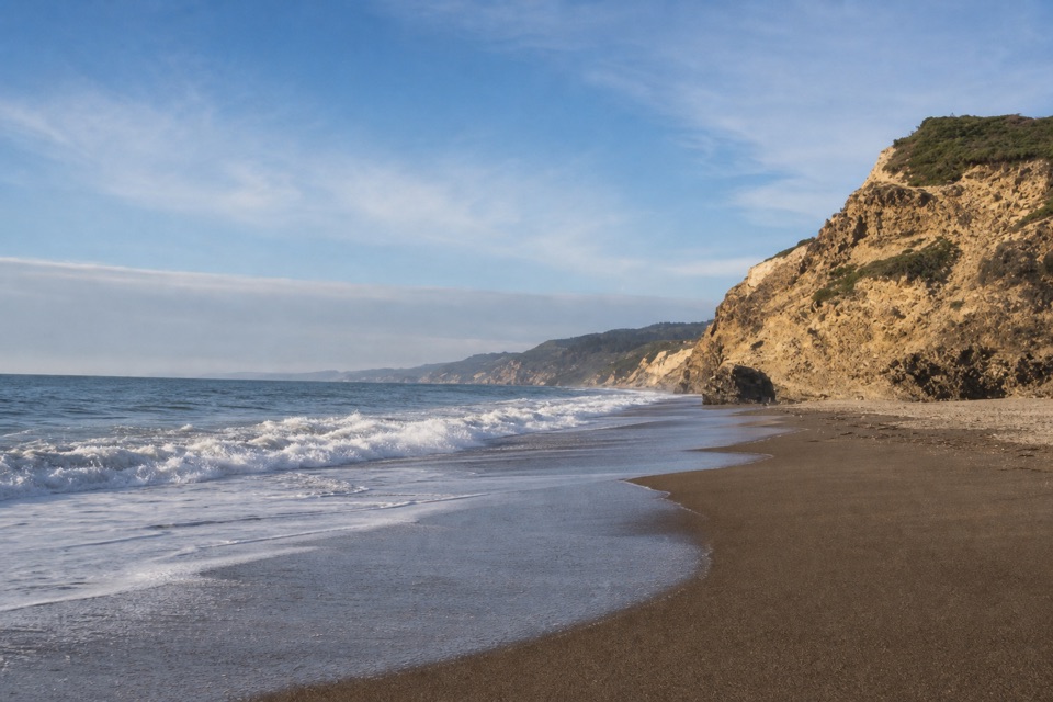
Wildcat Beach via the Coast Trail is an 11-mile out-and-back from Palomarin Trailhead, about 5.5 miles each way to Wildcat Camp and the short path down to the shore. The park calls it moderate and suggests 4 to 6.5 hours round trip; save extra time if you want to linger on the sand. Go when you want the walk as much as the destination. This is a long, rolling approach with exposed roots, rocks and ruts, but it ends at a 2.9-mile beach tucked below coastal bluffs. This route turns around at Wildcat Beach; the Alamere Falls hike is a separate continuation farther down the beach.
The first mile follows an ocean-cliff top. Then the trail drops into a small valley, climbs the other side on switchbacks, crosses a pass and threads by small ponds. Bass Lake arrives about 2.8 miles from the trailhead; roughly 0.6 mile beyond it, the route looks over Pelican Lake. The Coast Trail then heads inland through coastal scrub and forest before dropping to Wildcat Camp.
At about 4.2 miles, the Ocean Lake Loop branches left. Stay right to keep to the Coast Trail. The loop passes Ocean Lake and climbs steeply to a bluff top with views up and down the shore before reconnecting with the main trail. It is a different leg of the same outing, worth choosing if you want the steeper bluff walk.
The Palomarin approach follows an old ranch road that has narrowed and degraded. Roots, rocks and ruts slow the pace, and the rolling climbs add up over 11 miles. The official rating is moderate, but the distance makes this a full outing; plan around the slower end if you want a break at Bass Lake and time on the beach.
Wildcat Camp opens onto a meadow on a bluff above the ocean. From camp, a short well-worn path on its south side reaches the beach; this is the safe way down. Wildcat Beach stretches 2.9 miles through the Phillip Burton Wilderness, so it is a destination in its own right even if you do not walk the whole shoreline. For a photo, use the wet-sand curve to keep the bluff and surf in the same frame and show how the beach sits below the coast.
Do not expect the falls on this outing. Alamere Falls is about 1.1 miles south along the beach from camp; that separate walk depends on low tide and safe surf, and is outside this route. If 11 miles is more than you want, turn around at Bass Lake for about a 5.6-mile round trip and skip the beach.
Follow Mesa Road to its end at Palomarin Trailhead. The final 1.2 miles are unpaved and often potholed and washboarded; the gravel lot has space for roughly 75 vehicles. It fills early on weekends throughout the year and on many summer weekdays, and the park may close the area to incoming cars when the lot is full. An early start or a midweek hike is the practical plan.
There are vault toilets and an information kiosk at Palomarin, but no potable water there; Wildcat Camp has a vault toilet and potable water. No food service is available at or beyond the trailhead. Dogs are not allowed. Day hiking does not require a permit, but an overnight at Wildcat Camp requires a backcountry permit. Summer fog often hides the shoreline, especially from July through September; the park describes the clearest coastal days as late September through early November. Winter rain can leave the narrow trail muddy, so check advisories before you go.
Wildlife
 2,552 sightingsNorthern Elephant SealMost seen around 11 AMSighting map
 127 sightingsGrey WhaleMost seen around noonSighting map
 109 sightingsHumpback WhaleMost seen around 10 AMSighting map
 29 sightingsSteller Sea LionMost seen around noonSighting map
 203 sightingsCalifornia Sea LionMost seen around noonSighting map
 352 sightingsHarbor SealMost seen around 7 AMSighting map
Sighting maps show where each species has been reported across Point Reyes. Wildlife moves, so no sighting is guaranteed.
Keep exploring
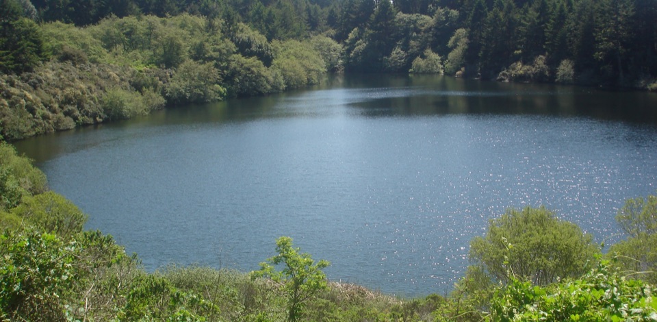 ModerateBass Lake via Coast Trail5.7 mi · 3 hr · At the trailheadBluff-top surf views lead inland to a small lake.
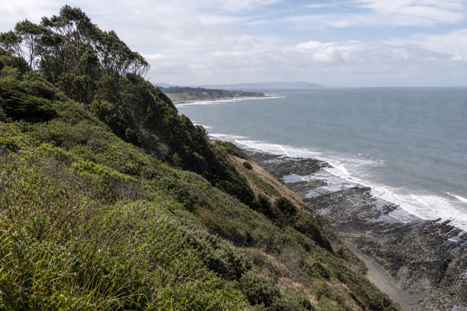 ModerateCoast–Lake Ranch–Ridge Loop11.1 mi · 6 hr · At the trailheadOcean cliffs, a forest pond and a quieter ridge in one day
 ChallengingAlamere Falls via Palomarin and Wildcat Beach13.2 mi · 7.5 hr · At the trailheadA long coastal hike ends at a waterfall spilling onto Wildcat Beach.
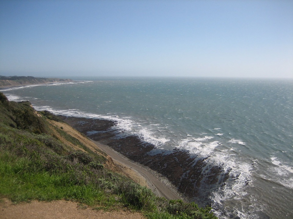 ChallengingCoast Trail: Palomarin to Laguna Road16 mi · 9 hr · At the trailheadA full-day coastal traverse linking two hike-in camps.
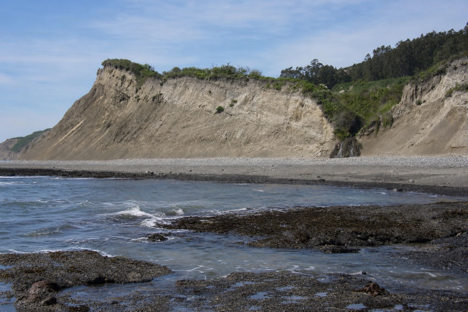 EasyPalomarin Beach Trail1.2 mi · 45 min · 0.1 mi awayA short Coast Trail spur reaches a beach beneath eroding bluffs.
 ModerateRidge Trail6.2 mi · 4 hr · 0.8 mi awayA long shaded ridge walk that ends away from its start.
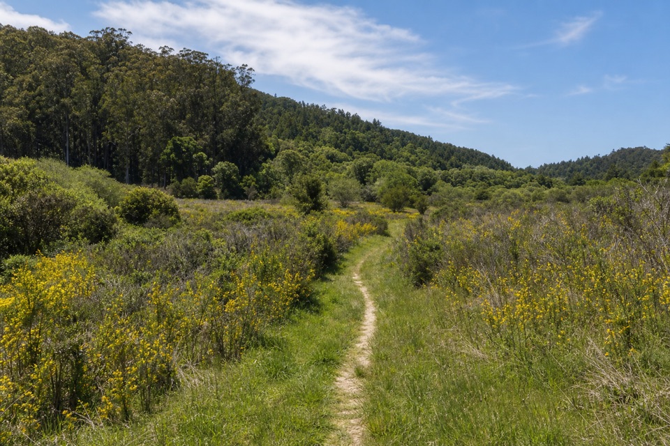 ChallengingPablo Point Trail5.4 mi · 4 hr · 2.3 mi awayA 5.4-mile out-and-back to an unmaintained meadow spur.
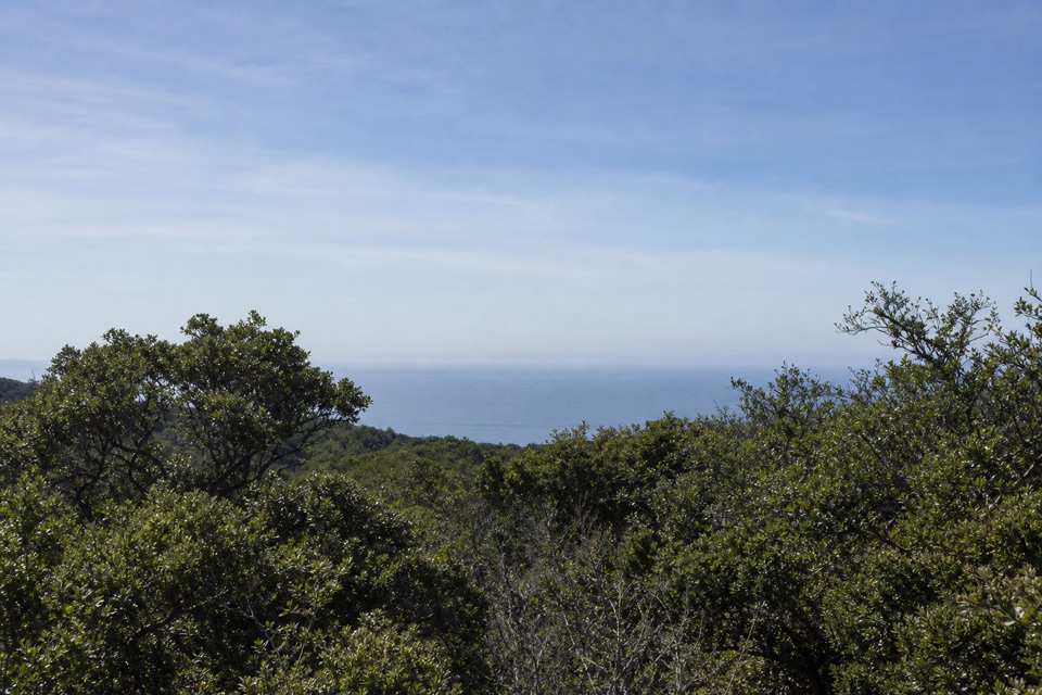 ChallengingMcCurdy Trail4 mi · 2.5 hr · 2.3 mi awayClimb through pasture, redwoods and chaparral to Bolinas Ridge.
 Sight · 2.4 mi awayAlamere FallsA 40-foot cascade spilling over coastal cliffs onto a wilderness beach
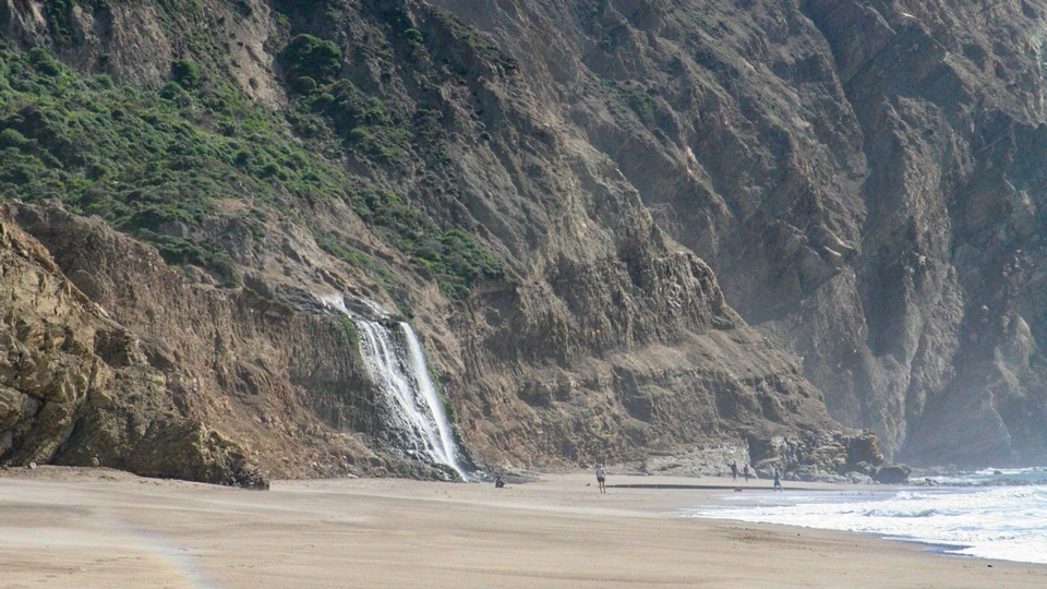 Beach · 3.3 mi awayWildcat BeachRemote 2.9-mile beach with Alamere Falls dropping onto the sand
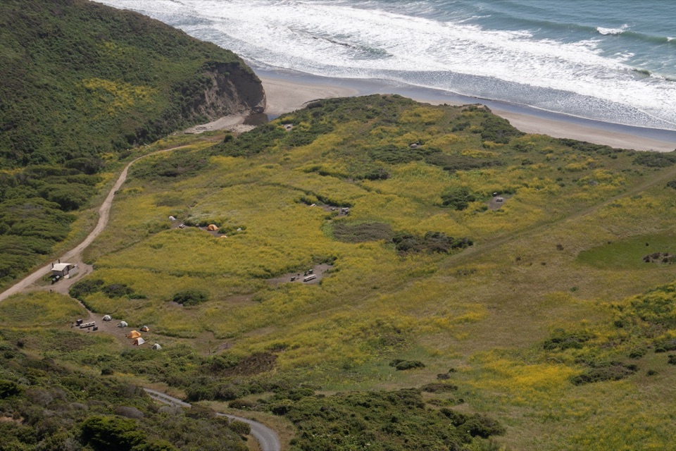 Campground · 3.5 mi awayWildcat CampgroundHike-in bluff meadow above the surf, a mile from Alamere Falls
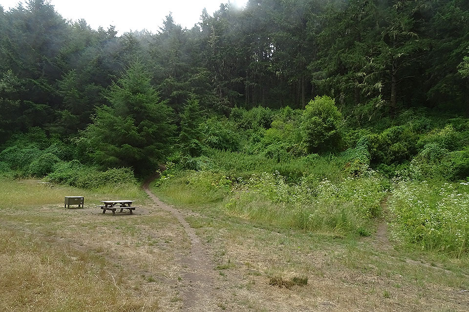 Campground · 4.4 mi awayGlen CampgroundQuiet wooded valley camp, 4.6 miles in, no ocean view
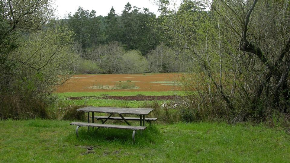 Picnic area · 4.4 mi awayFive Brooks Picnic AreaSix trailside tables, some beside an abandoned mill pond
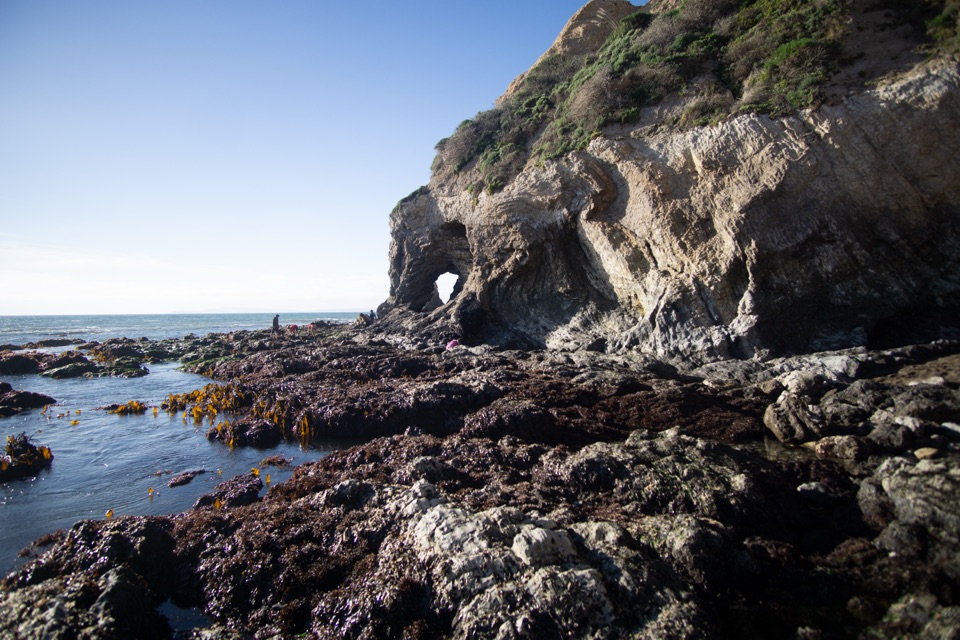 Beach · 7.3 mi awaySecret Beach and Skylight CaveCollapsed sea cave and hidden beach reached only at negative tides
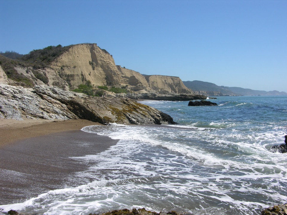 Beach · 7.5 mi awaySculptured BeachWave-carved rocks and low-tide pools, two miles down a wild shore
 Sight · 7.9 mi awayMorgan Horse RanchWorking park horses and ranch history on a short hillside walk
Parkwolf’s Point Reyes ranking

The audio tour guide for the drive, plus offline maps, trails, and wildlife heatmaps for when the signal drops.




