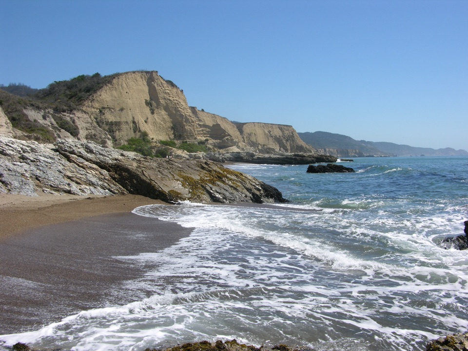
Coast Trail: Palomarin to Laguna Road in Point Reyes National Seashore

Point Reyes National Seashore, CA

Coast Trail: Palomarin to Laguna Road

A full-day coastal traverse linking two hike-in camps.

Photo: Flickr
Length
16mi
Time
9hr
Elev. change
764ft
Difficulty
Challenging
  • No dogs
  • High point 791 ft
  • #29 of 65 in Point Reyes

Hear the audio tour

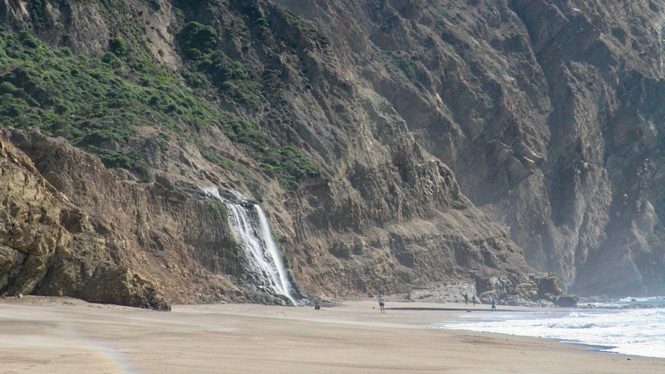
Palomarin Trailhead and Alamere Falls

Overview

About Coast Trail: Palomarin to Laguna Road

Why go

  • A through-hike linking coastal scrub, two hike-in camps, and northern wetlands.
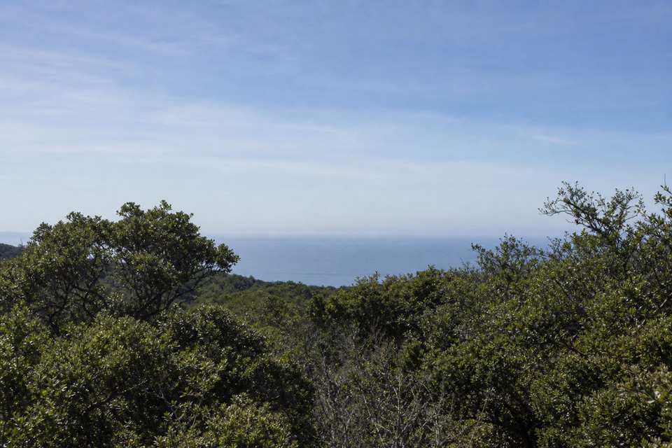
  • Ocean views open between the route’s forest and lake sections.

Heads up

  • Sixteen miles one way means a long day and a vehicle handoff.
  • The trail spends substantial stretches inland instead of beside the beach.

Map & elevation

The route

Loading the Point Reyes map
Full map
Elevation26–791 ft
TrailheadPalomarin Trailhead37.93429, -122.74716
Keep this map with you offline in the Parkwolf app

Plan your hike

Before you go

Parking

Start at Palomarin Trailhead on Mesa Road and arrange a pickup at the Coast Trailhead on Laguna Road across from Limantour Lodge. The northern end has an unpaved shoulder with space for about 15 cars; larger vehicles have a grassy area farther east.

Safety

This is a 16-mile one-way hike that requires transport at both trailheads. A reliable drinking-water refill along the through-route was not confirmed, and pets are prohibited on these trails.

4 active Point Reyes alerts

  • ClosureOld Tocaloma/Platform Bridge closed to vehiclesDo not drive across the Old Tocaloma/Platform Bridge; it is closed to all vehicular traffic until further notice.Official details
  • ClosurePalomarin Beach Trail closedPalomarin Beach Trail is closed to all visitors, employees, and residents until further notice; do not use the trail. - The trail is closed because unstable and failing sections have made it unsafe.Official details
See all 4 alerts
A park ranger sits on a dash-mounted phone, talking, as Parkwolf’s Tour Guide plays “Army Cutworm Moths: A Grizzly Bear Buffet” on Grand Loop Road below Dunraven Pass in Yellowstone
Parkwolf Tour GuideThe highest, rockiest slopes around here are a summer buffet for grizzly bears.

Point Reyes Tour Guide

Your drive to Coast Trail: Palomarin to Laguna Road, narrated.

Parkwolf is a GPS audio tour guide for Point Reyes National Seashore. As you drive, it chimes in with what’s ahead: hidden gems, upcoming stops, history, geology, and wildlife, right through your car’s speakers.

Recorded for this area

Palomarin Trailhead and Alamere Falls
0:00 / 0:32
“You're approaching Palomarin Trailhead, the start of the long Coast Trail hike to Alamere Falls.”

Plays on the road 0.1 mi from the trailhead in the Parkwolf Point Reyes Tour Guide.

More stories near here in the app

  • After the Pelican's Splash
  • The Bird Record on Mesa Road
  • Why the Radio Stations Stood Apart
  • The Coast Miwok Story Continues
  • 61 audio storiesacross Point Reyes’s roads, triggered by GPS as you drive
  • Wildlife heatmapsfor Northern Elephant Seal, Grey Whale, Humpback Whale, and 13 more
  • Works offlinemaps, 65 trails, 41 places, and audio download before you lose signal
  • CarPlay readysimple controls built for the drive
★★★★★
“Fantastic app with many points of information… It’s great to just turn on while you’re driving and it gives you an audio tour of the national Park. We love it!!!!”
JMJamesApp Store review
Download Parkwolf on the App StoreGet Parkwolf on Google Play

4.7 from 8,600+ ratings

Trail guide

Hiking Coast Trail: Palomarin to Laguna Road

The long way across the coastThe Coast Trail is a roughly 16-mile, one-way through-hike from Palomarin Trailhead to the…

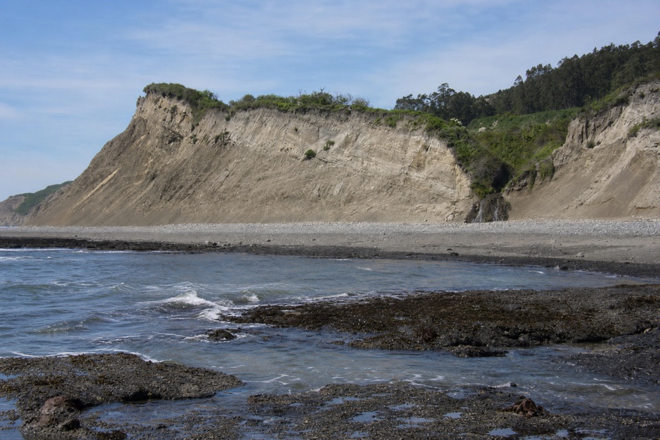
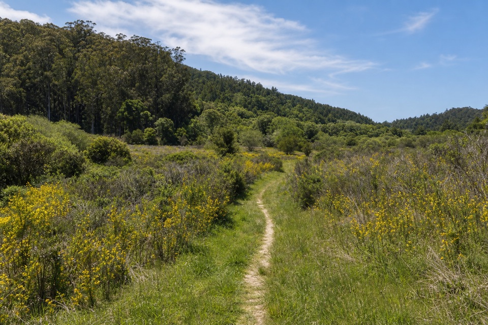
The Coast Trail is a roughly 16-mile, one-way through-hike from Palomarin Trailhead to the Coast Trailhead on Laguna Road. It crosses coastal scrub and inland forest, reaches Wildcat Camp and Coast Camp, then follows a broad service path through creek-side habitat and wetlands to the northern trailhead. This is a proper all-day walk, not a short approach to one beach. You need a pickup or a second car at the far end.

Do this for a long coastal traverse, not if you expect unbroken ocean views. The trail dips inland in several places, and the southern wilderness stretch is narrower and more variable underfoot than the final graded road. The full distance is one way; allow about nine hours of walking, then add time for breaks and the drive between ends.

From Palomarin to WildcatFrom Palomarin, the route enters coastal scrub and varied terrain, with small lakes and…

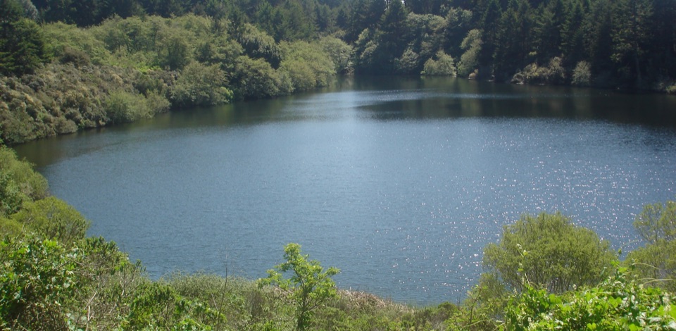
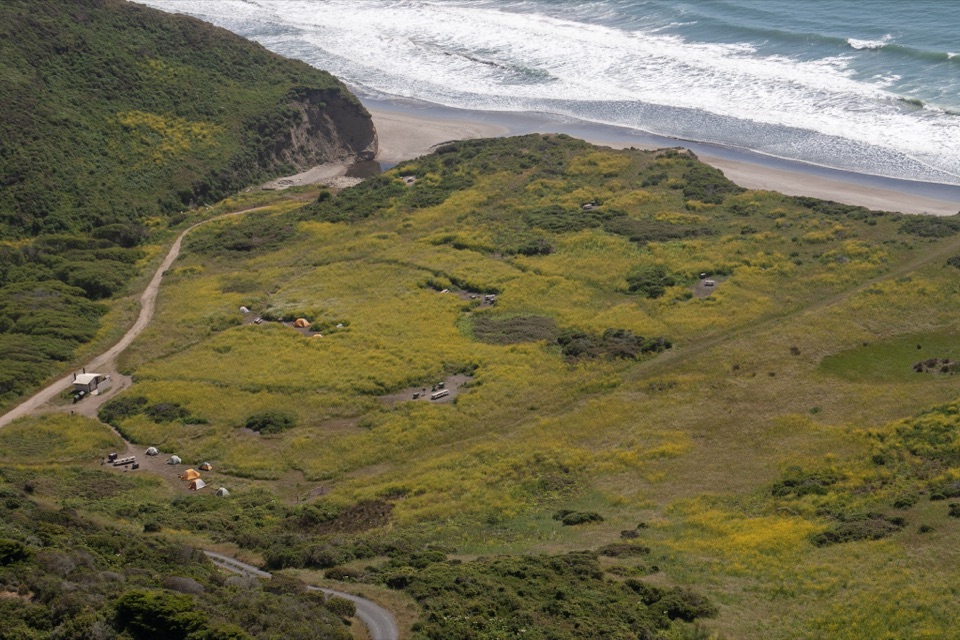
From Palomarin, the route enters coastal scrub and varied terrain, with small lakes and openings where the ocean comes into view. Wildcat Camp is about 5.5 miles from Palomarin on the Coast and Stewart trail corridor. It sits in an open meadow on a seaside bluff, with a short walk to the beach. Treat it as a landmark rather than a halfway exit: the through-route keeps going north.

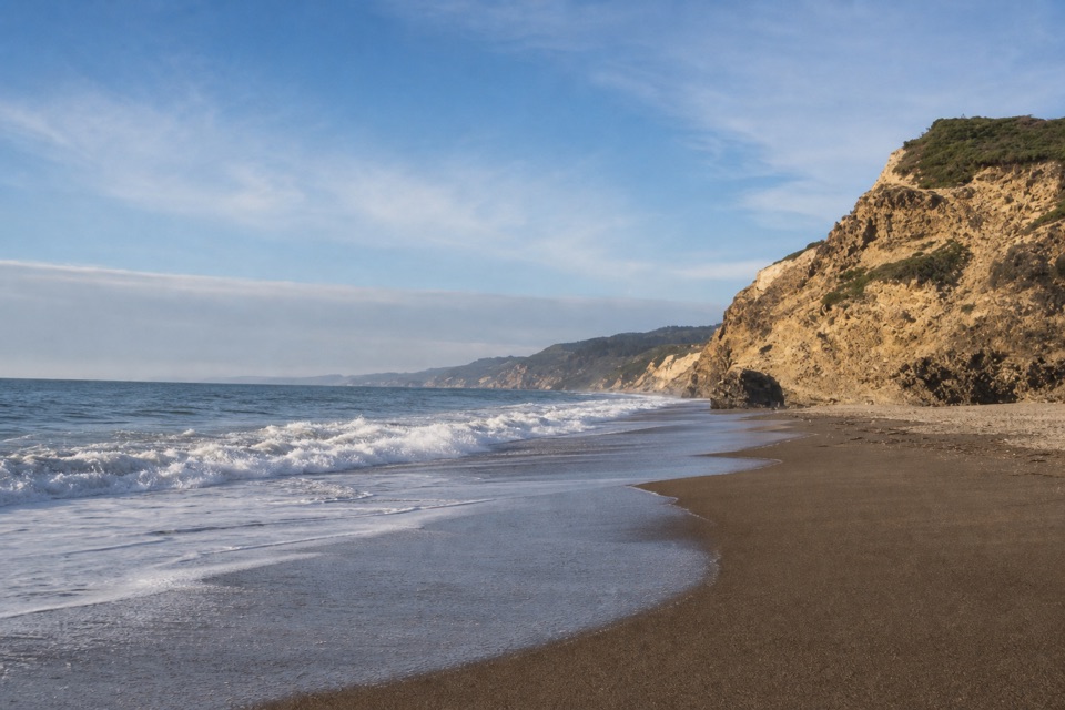
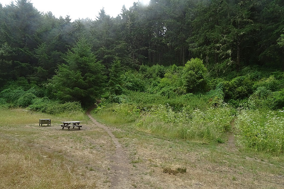
Beyond Wildcat, stay on the Coast Trail toward Coast Camp. The route continues through narrower trail in the Phillip Burton Wilderness, with stretches that turn inland under trees between coastal openings. Coast Camp is about 13.2 miles from Palomarin. The walk is more about covering a broad piece of coastline than reaching a single summit or waterfall, and the view keeps changing as scrub, forest, grassland, and ocean alternate.

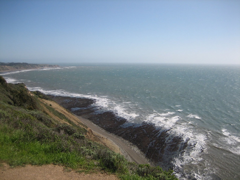
The northern finishFrom Coast Camp, the last 2.

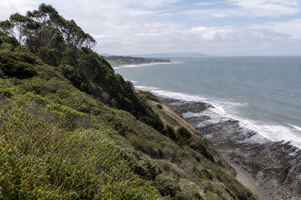
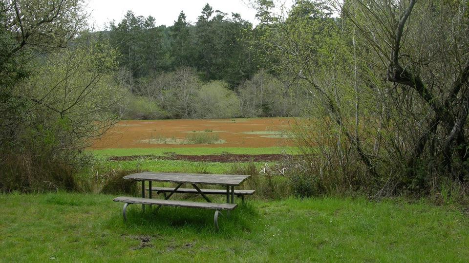
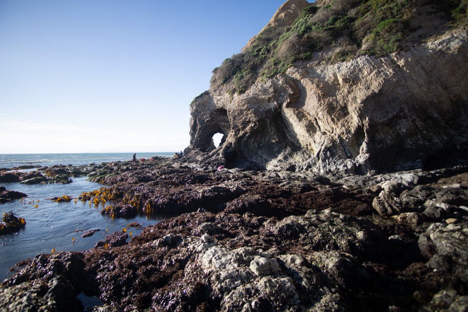
From Coast Camp, the last 2.8 miles to the Coast Trailhead are a different walk: a flat, wide, graded service road through creek-side habitat and wetlands as it approaches Santa Maria Beach. A beach-access spur adds distance and is not part of the through-route. At Palomarin, coastal openings look out to the rocky shore; keep a little trail in the foreground if you want the photo to show where you are instead of only the water.

Plan the full dayStart at Palomarin Trailhead on Mesa Road and finish at the Coast Trailhead on Laguna Road,…

Start at Palomarin Trailhead on Mesa Road and finish at the Coast Trailhead on Laguna Road, across from Limantour Lodge. Arrange a pickup or cars at both ends; this is not a loop. The northern end has a limited unpaved shoulder with space for about 15 cars. Toilets are available at Palomarin and at the two hike-in camps, but no food service or reliable drinking-water refill was confirmed along the whole route. Pets are prohibited on these trails. If you stay overnight at Wildcat or Coast Camp, you need a camping permit in advance.

If 16 miles is too much, Palomarin to Wildcat Camp and back is about 11 miles round trip, using the first section of the same route. That still gives you coastal views and a camp destination, without the north-end shuttle. Check current park trail conditions before setting out; the route includes a long wilderness section and conditions can change.

Wildlife

Wildlife in Point Reyes

All Point Reyes wildlife maps

Sighting maps show where each species has been reported across Point Reyes. Wildlife moves, so no sighting is guaranteed.

Keep exploring

Near Coast Trail: Palomarin to Laguna Road

See it all on the map

Trails that start nearby

Places near the trailhead

Parkwolf’s Point Reyes ranking

Top-rated trails in Point Reyes

All 65 trails
  1. 1Tomales Point TrailChallenging · 9.5 mi
  2. 2Alamere Falls via Palomarin and Wildcat BeachChallenging · 13.2 mi
  3. 3Chimney Rock TrailEasy · 1.8 mi
  4. 4Abbotts Lagoon TrailEasy · 2.8 mi
  5. 5Bear Valley Trail to Miller PointModerate · 9 mi
  6. 6Drakes Head via Estero TrailModerate · 8.8 mi

Take Parkwolf to Point Reyes.

The audio tour guide for the drive, plus offline maps, trails, and wildlife heatmaps for when the signal drops.

4.7 from 8,600+ ratings

Download Parkwolf on the App StoreGet Parkwolf on Google Play