Bass Lake via Coast Trail in Point Reyes National Seashore

#8 of 65 trails in Point Reyes

Point Reyes National Seashore, CA

Bass Lake via Coast Trail

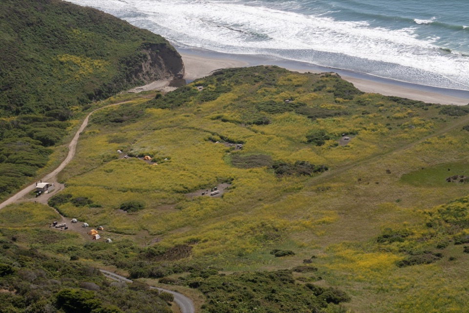
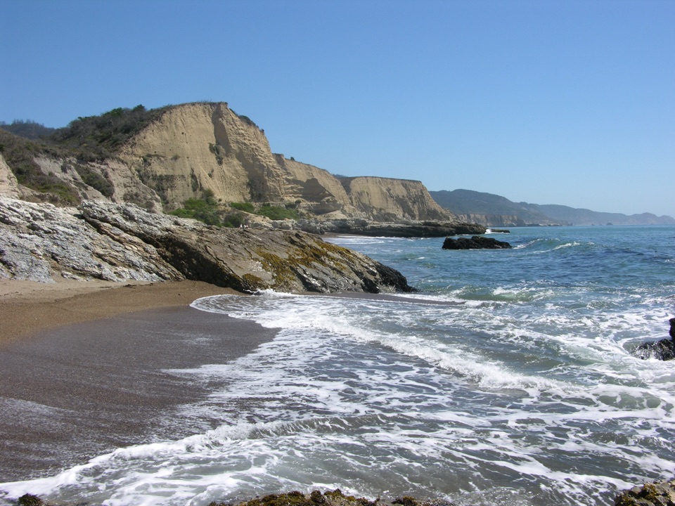
Bluff-top surf views lead inland to a small lake.

Photo: Wikimedia Commons
Length
5.7mi
Time
3hr
Elev. change
310ft
Difficulty
Moderate
  • No dogs
  • High point 574 ft

Hear the audio tour

Palomarin Trailhead and Alamere Falls

Overview

About Bass Lake via Coast Trail

Why go

  • Bluff-top surf views in the first mile
  • A clear destination after a varied inland crossing

Heads up

  • A valley drop and switchback climb add effort
  • Rough access road and early-filling weekend parking

Map & elevation

The route

Loading the Point Reyes map
Full map
Elevation264–574 ft
TrailheadPalomarin Trailhead37.93400, -122.74680
Keep this map with you offline in the Parkwolf app

Plan your hike

Before you go

Parking

Start at the gravel lot at Palomarin Trailhead, at the end of Mesa Road. The final 1.2 miles are unpaved, often potholed and washboarded. Parking fills early on weekends and many summer weekdays; late arrivals may be turned away. A vault or composting toilet is at the trailhead, but there is no water faucet.

Safety

Pets are prohibited on Coast Trail and at Bass Lake. The route has exposed bluff tops, rocky and rooted tread, a valley drop and short moderate-to-steep climbs. Poison oak is common near the lake; the unmaintained lakeside spur can be difficult. Bass Lake swimming is unofficial and unguarded, and glass is prohibited within 50 feet of shore.

4 active Point Reyes alerts

  • ClosureOld Tocaloma/Platform Bridge closed to vehiclesDo not drive across the Old Tocaloma/Platform Bridge; it is closed to all vehicular traffic until further notice.Official details
  • ClosurePalomarin Beach Trail closedPalomarin Beach Trail is closed to all visitors, employees, and residents until further notice; do not use the trail. - The trail is closed because unstable and failing sections have made it unsafe.Official details
See all 4 alerts
A park ranger sits on a dash-mounted phone, talking, as Parkwolf’s Tour Guide plays “Army Cutworm Moths: A Grizzly Bear Buffet” on Grand Loop Road below Dunraven Pass in Yellowstone
Parkwolf Tour GuideThe highest, rockiest slopes around here are a summer buffet for grizzly bears.

Point Reyes Tour Guide

Your drive to Bass Lake via Coast Trail, narrated.

Parkwolf is a GPS audio tour guide for Point Reyes National Seashore. As you drive, it chimes in with what’s ahead: hidden gems, upcoming stops, history, geology, and wildlife, right through your car’s speakers.

Recorded for this trailhead

Palomarin Trailhead and Alamere Falls
0:00 / 0:32
“You're approaching Palomarin Trailhead, the start of the long Coast Trail hike to Alamere Falls.”

Plays as you drive up to this trailhead in the Parkwolf Point Reyes Tour Guide.

More stories near here in the app

  • After the Pelican's Splash
  • The Bird Record on Mesa Road
  • Why the Radio Stations Stood Apart
  • The Coast Miwok Story Continues
  • 61 audio storiesacross Point Reyes’s roads, triggered by GPS as you drive
  • Wildlife heatmapsfor Northern Elephant Seal, Grey Whale, Humpback Whale, and 13 more
  • Works offlinemaps, 65 trails, 41 places, and audio download before you lose signal
  • CarPlay readysimple controls built for the drive
★★★★★
“Fantastic app with many points of information… It’s great to just turn on while you’re driving and it gives you an audio tour of the national Park. We love it!!!!”
JMJamesApp Store review
Download Parkwolf on the App StoreGet Parkwolf on Google Play

4.7 from 8,600+ ratings

Trail guide

Hiking Bass Lake via Coast Trail

A coast-to-lake walkThis out-and-back from Palomarin Trailhead to Bass Lake covers about 5.

This out-and-back from Palomarin Trailhead to Bass Lake covers about 5.7 miles round trip through bluff-top coast, an inland valley and a small lake in the Phillip Burton Wilderness. Allow two to three hours of walking, plus time at the water. It suits you if you want the coast to change character as you go: the surf-side opening gives way to a wooded, inland crossing, and the lake provides a clear place to turn around.

The mapped Coast Trail corridor is about 2.84 miles one way. Published totals range from 5.2 to 6 miles because the lake approach has been measured differently; this entry uses the connected trail to the Bass Lake junction and doubles that corridor for the return. It leaves out the unmaintained lakeside spur, which adds distance and rougher footing.

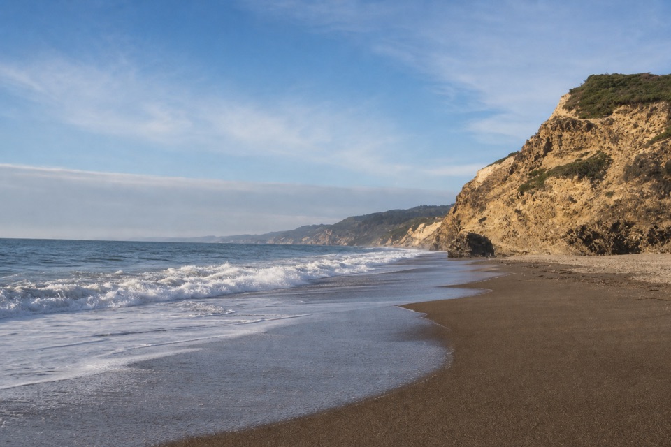
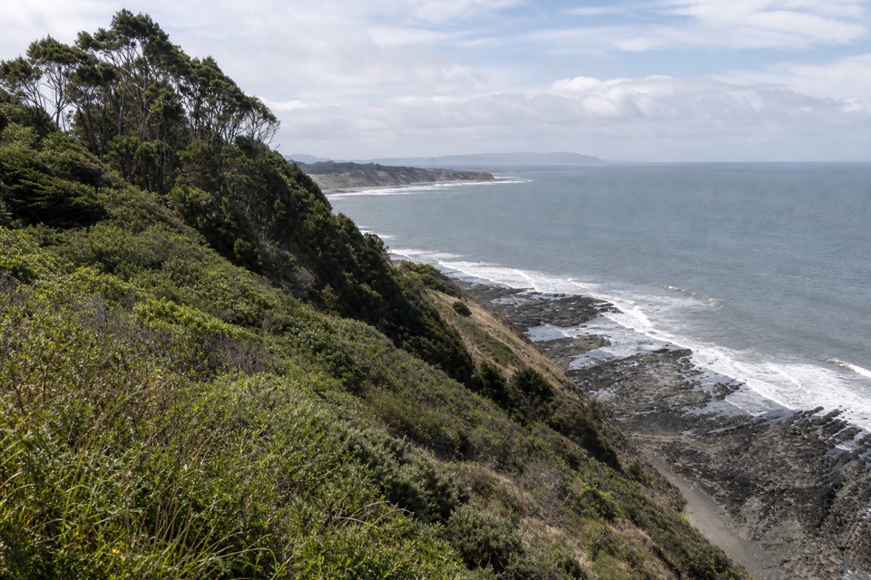
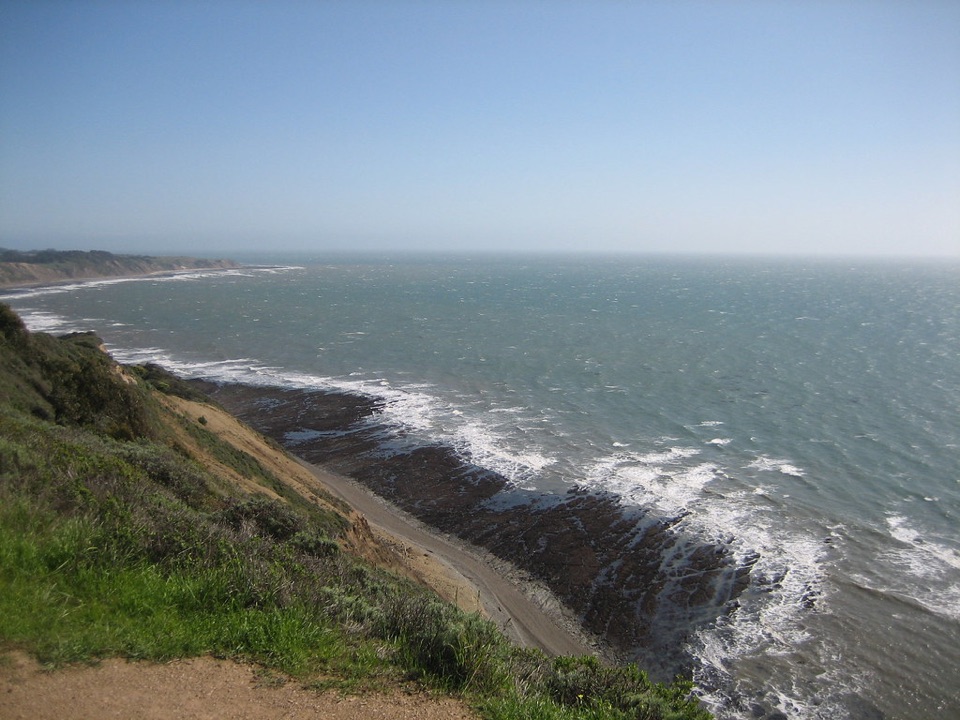
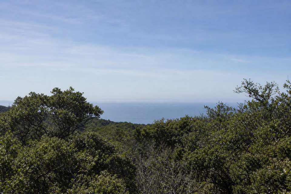
Bluffs, then a climb inlandThe first mile is fairly level and wide, with ocean views from bluffs above the surf.

The first mile is fairly level and wide, with ocean views from bluffs above the surf. The packed dirt tread still has exposed roots and rocks, so it is not a smooth path. This is the route's big view stretch. For a photo, keep part of the bluff edge in the frame with some surf below it; a water-only shot loses the sense of height.

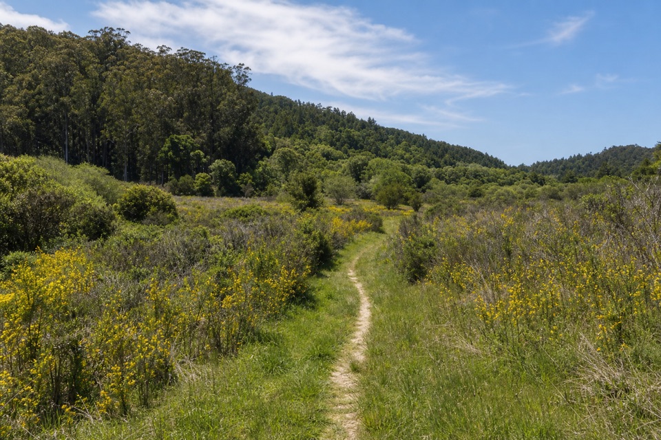
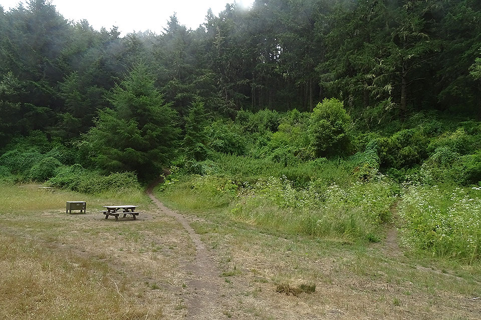
After the coast, the trail turns inland and drops to a valley floor, then climbs back out on switchbacks over a pass. Short moderate-to-steep grades come mostly after the first mile, and some later sections are narrower and rutted. This is where the hike earns its moderate rating: the effort comes in a few uneven rises rather than one long climb. A few small ponds and the Lake Ranch Trail junction mark the approach to Bass Lake.

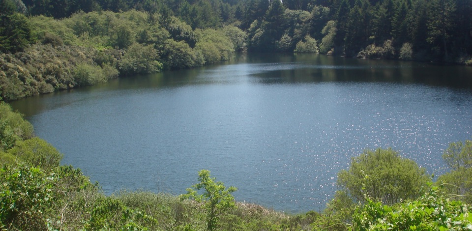
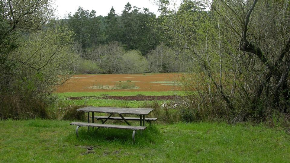
The lake is the turnaroundThe route reaches Bass Lake at roughly 2.8 miles.

The route reaches Bass Lake at roughly 2.8 miles. Turn around at the Coast Trail junction for the mapped distance above. A separate, unmaintained spur runs along the lake's northwest side; its access is challenging and poison oak is common, so do not count on an easy walk down to the water's edge. The lake is a popular but unofficial swimming spot with no lifeguard; swim at your own risk, and keep glass at least 50 feet from shore. The surrounding trees frame a wide lake view, but you can enjoy the destination without adding the rough spur.

Start at PalomarinBegin at the gravel parking lot at Palomarin Trailhead.

Begin at the gravel parking lot at Palomarin Trailhead. It has a vault or composting toilet, but no faucet, and there is no water or food service on the route. The final 1.2 miles of Mesa Road are unpaved and often potholed and washboarded. The lot fills very early on weekends and many summer weekdays; late arrivals may be turned away, so an early or midweek start makes the day easier.

Pets are prohibited on the Coast Trail and at Bass Lake. There are no toilets at the lake. Bring water from elsewhere, and treat the Coast Trail as the dependable route to the lake rather than assuming the unmaintained spur is an easy lakeside path.

Wildlife

Wildlife in Point Reyes

All Point Reyes wildlife maps

Sighting maps show where each species has been reported across Point Reyes. Wildlife moves, so no sighting is guaranteed.

Keep exploring

Near Bass Lake via Coast Trail

See it all on the map

Trails that start nearby

Places near the trailhead

Parkwolf’s Point Reyes ranking

Top-rated trails in Point Reyes

All 65 trails
  1. 1Tomales Point TrailChallenging · 9.5 mi
  2. 2Alamere Falls via Palomarin and Wildcat BeachChallenging · 13.2 mi
  3. 3Chimney Rock TrailEasy · 1.8 mi
  4. 4Abbotts Lagoon TrailEasy · 2.8 mi
  5. 5Bear Valley Trail to Miller PointModerate · 9 mi
  6. 6Drakes Head via Estero TrailModerate · 8.8 mi

Take Parkwolf to Point Reyes.

The audio tour guide for the drive, plus offline maps, trails, and wildlife heatmaps for when the signal drops.

4.7 from 8,600+ ratings

Download Parkwolf on the App StoreGet Parkwolf on Google Play