Parking
Medium-sized gravel parking lot at Five Brooks Trailhead, off Sir Francis Drake Boulevard.
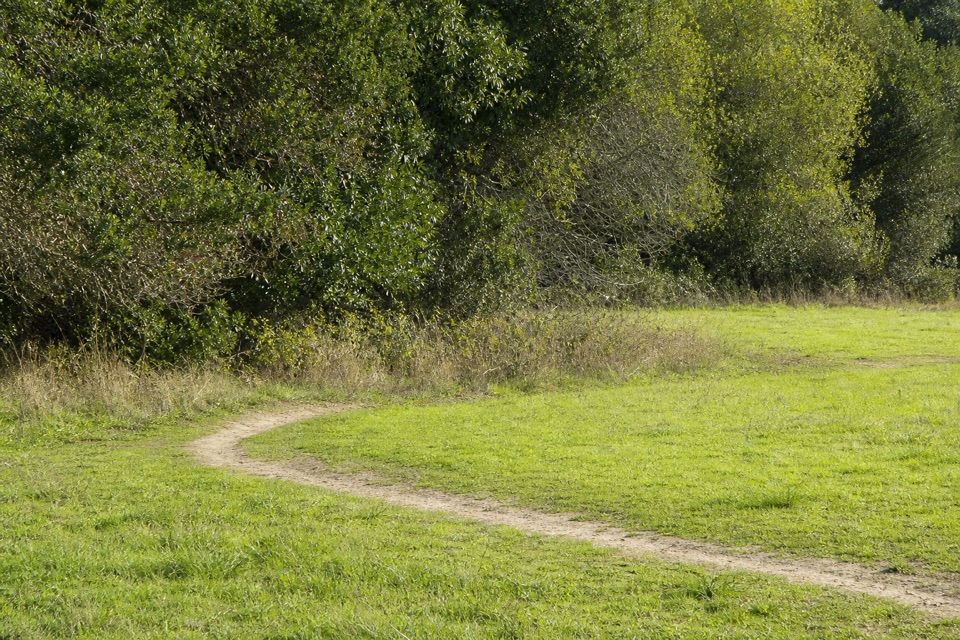
Point Reyes National Seashore, CA
The San Andreas Fault leaves clues you can walk right past.
Overview
Map & elevation
Plan your hike

The highest, rockiest slopes around here are a summer buffet for grizzly bears.
Point Reyes Tour Guide
Parkwolf is a GPS audio tour guide for Point Reyes National Seashore. As you drive, it chimes in with what’s ahead: hidden gems, upcoming stops, history, geology, and wildlife, right through your car’s speakers.
Recorded for this trailhead
Five Brooks Picnic Area“Five Brooks is coming up, a quiet picnic stop among woods and trails. Six free, first-come tables sit along Stewart Trail, some beside a mill pond built for a sawmill in nineteen fifty-six.”
Plays as you drive up to this trailhead in the Parkwolf Point Reyes Tour Guide.
More stories near here in the app
“Fantastic app with many points of information… It’s great to just turn on while you’re driving and it gives you an audio tour of the national Park. We love it!!!!”


Trail guide
Rift Zone Trail is an 8.6-mile out-and-back from Five Brooks Trailhead to Bear Valley and back, crossing the wooded and open valley floor along the San Andreas Fault. Allow about four hours. The draw is subtle earthquake geology: a shutter ridge, a creek forced to bend, and a shallow sag pond, not a fresh crack or a summit view.
From Five Brooks, the route moves through woods and meadows toward a shallow sag pond; young redwoods grow just south of it. Farther north, two active cattle pastures interrupt the old ranch-road tread. Posts mark the designated path where cow tracks can be confusing, and every gate should be closed behind you. Near Bear Valley, the trail climbs over a partly wooded shutter ridge, crosses Bear Valley Creek, then opens into meadow by the trailhead. A low ridge bends the creek, a quiet clue to the valley's seismic history.
Public passage through the Vedanta Society section is allowed from 8 a.m. until two hours before sunset. Time both passes through that section within the window, and close gates. Horses share the route, cattle may be in the pastures, and pets aren't allowed. Five Brooks has a medium-sized gravel parking lot off Sir Francis Drake Boulevard.
Wildlife
 2,552 sightingsNorthern Elephant SealMost seen around 11 AMSighting map
 127 sightingsGrey WhaleMost seen around noonSighting map
 109 sightingsHumpback WhaleMost seen around 10 AMSighting map
 29 sightingsSteller Sea LionMost seen around noonSighting map
 203 sightingsCalifornia Sea LionMost seen around noonSighting map
 352 sightingsHarbor SealMost seen around 7 AMSighting map
Sighting maps show where each species has been reported across Point Reyes. Wildlife moves, so no sighting is guaranteed.
Keep exploring
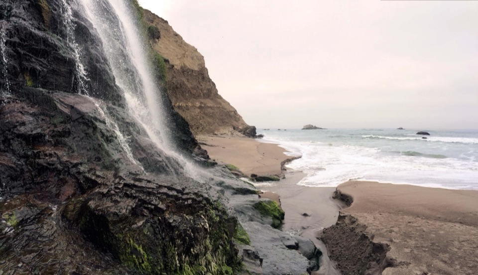 ChallengingStewart Trail to Wildcat Beach13.4 mi · 6 hr · At the trailheadA long ridge climb ends at a beach beneath the bluff.
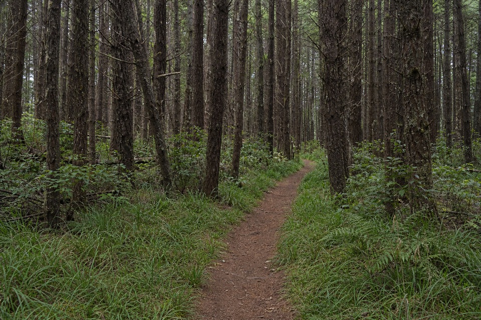 ModerateFive Brooks Loop6.1 mi · 3.5 hr · At the trailheadA shady loop with a steady climb and a historic mill pond.
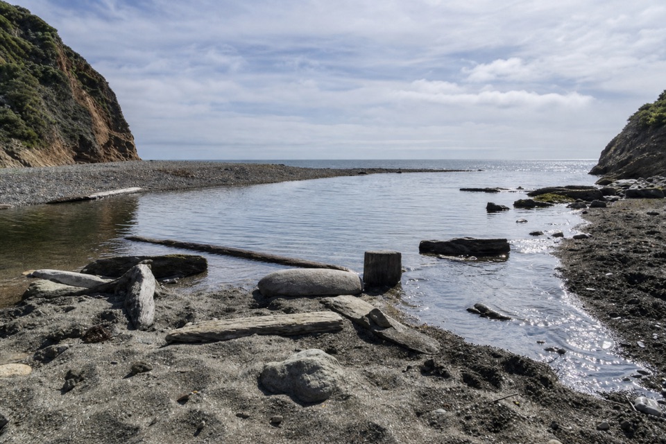 ChallengingStewart Trail Long Loop12.9 mi · 7 hr · At the trailheadForest ridges and a long ocean-view stretch reward a full day.
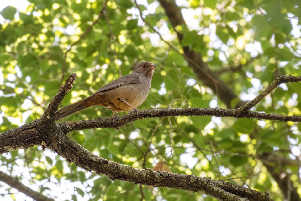 ModerateOlema Valley Trail5.3 mi · 3 hr · At the trailheadA 5.3-mile valley through-hike with meadows and an unbridged ford.
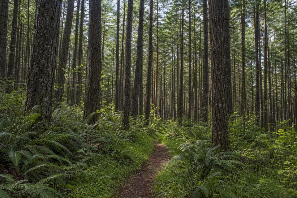 ModerateStewart–Greenpicker Loop7 mi · 4 hr · At the trailheadShady forest, ferns, and a climb that can turn muddy
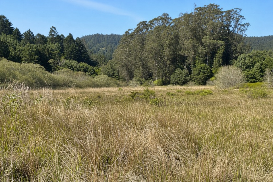 ChallengingRandall–Bolinas Ridge–McCurdy–Olema Valley Loop8.6 mi · 4.5 hr · 2.3 mi awayA strenuous loop links ridge views with a creek-crossing valley return.
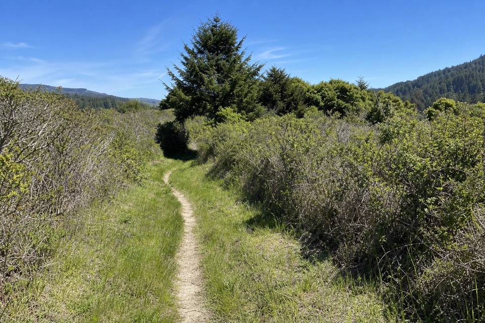 ChallengingOlema Valley–Teixeira–Ridge–Bolema Loop10.1 mi · 5 hr · 2.3 mi awayA strenuous 10.1-mile loop across Olema Valley and Inverness Ridge
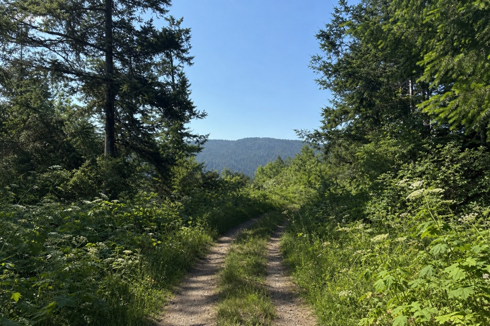 ChallengingRandall Trail3.4 mi · 2.5 hr · 2.3 mi awayClimb through pasture and redwoods to Bolinas Ridge
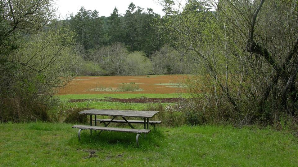 Picnic area · At the trailheadFive Brooks Picnic AreaSix trailside tables, some beside an abandoned mill pond
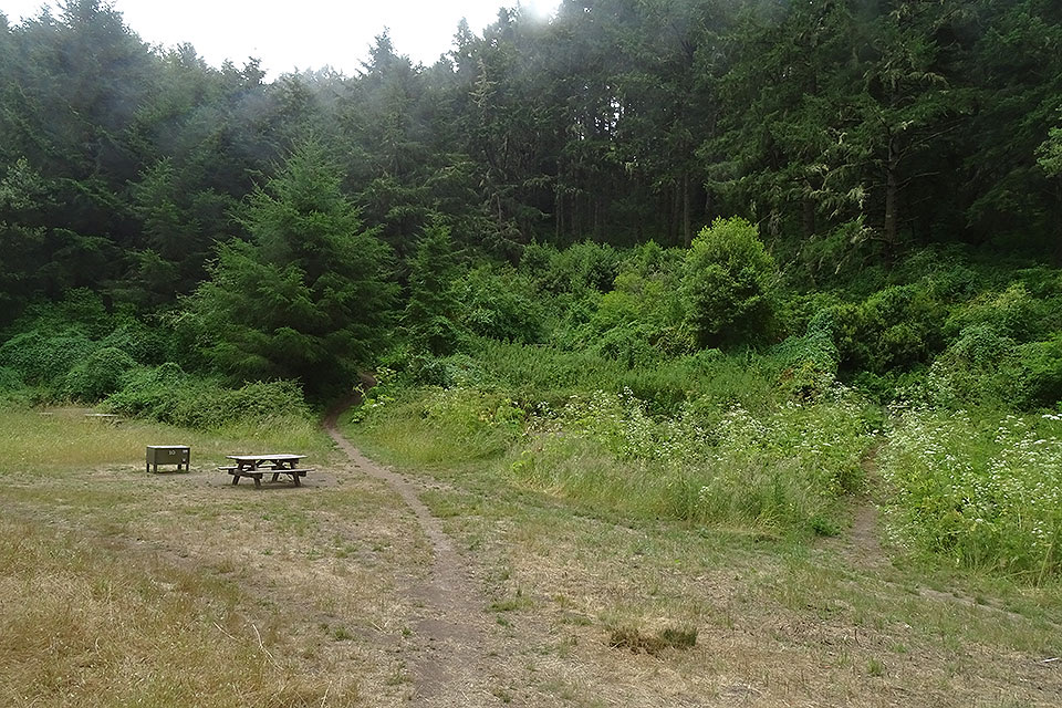 Campground · 1.8 mi awayGlen CampgroundQuiet wooded valley camp, 4.6 miles in, no ocean view
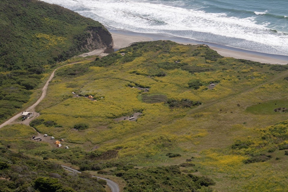 Campground · 2.6 mi awayWildcat CampgroundHike-in bluff meadow above the surf, a mile from Alamere Falls
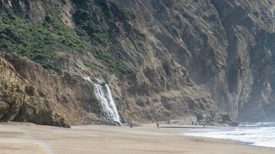 Beach · 2.9 mi awayWildcat BeachRemote 2.9-mile beach with Alamere Falls dropping onto the sand
 Sight · 3.3 mi awayAlamere FallsA 40-foot cascade spilling over coastal cliffs onto a wilderness beach
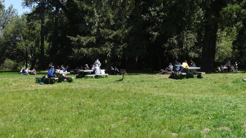 Picnic area · 3.8 mi awayBear Valley Picnic AreaTwenty-five shaded tables, charcoal grills, and room for big groups
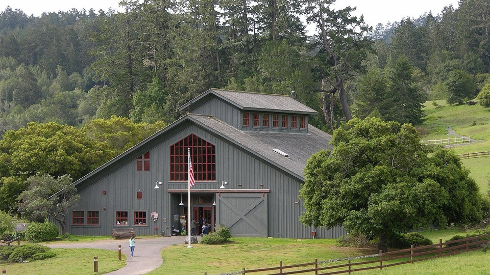 Visitor center · 3.8 mi awayBear Valley Visitor CenterBarn-style orientation hub where a life-size elephant seal greets you
 Sight · 3.8 mi awayMorgan Horse RanchWorking park horses and ranch history on a short hillside walk
Parkwolf’s Point Reyes ranking

The audio tour guide for the drive, plus offline maps, trails, and wildlife heatmaps for when the signal drops.





