Glen Campground in Point Reyes National Seashore

Campground · Point Reyes National Seashore

Glen Campground

Quiet wooded valley camp, 4.6 miles in, no ocean view

Photo: National Park Service

Type
Campground
Nearest trail
1.7 mi
Audio stories
2 nearby
  • Picnic tables
  • Restrooms

Hear the audio tour

Five Brooks Picnic Area
Download Parkwolf on the App StoreGet Parkwolf on Google Play

4.7 from 8,600+ ratings

Overview

About Glen Campground

Why stop

  • Quiet, sheltered woodland setting
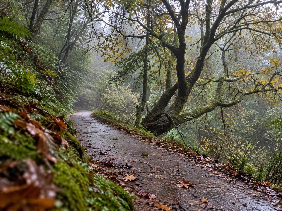
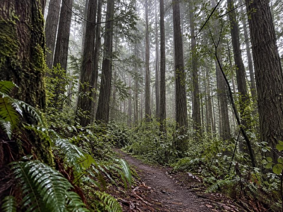
  • Shaded hike through lush coastal forest

Heads up

  • No ocean view
  • Long hike in and uneven privacy between sites

Map

Where it is

Loading the Point Reyes map
Full map
CampgroundGlen Campground37.98927, -122.78827
Keep this map with you offline in the Parkwolf app

Plan your stop

Before you go

Best time to go

Saturday nights are the hardest to get and the busiest in camp, with Fridays close behind, so a midweek night is the better trade if your schedule allows. The valley canopy keeps things cool, damp, and shaded much of the year, which is a relief in warm weather and chilly the rest of the time; pack a warmer layer than the drive-in weather suggests.

Getting there

  • Foot or bicycle only. No cars, no RVs, no horses or pack animals, no boat access.
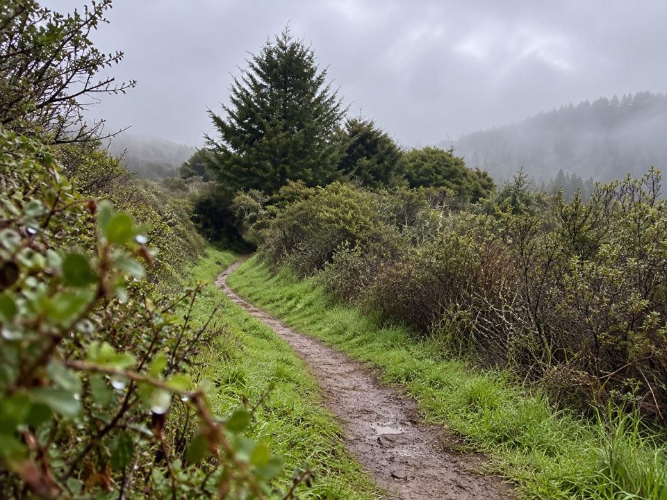
  • Shortest hike: 4.6 miles from Bear Valley Trailhead, mostly gentle along the creek under a lush canopy before the Glen Trail climbs through humid forest to camp.
  • By bike: start at Five Brooks and cross Inverness Ridge, roughly six to seven miles and honestly strenuous.
  • Watch the trail edges on narrow singletrack sections, where poison oak grows in places.

4 active Point Reyes alerts

  • CautionCoastal flooding risk along Point Reyes through Nov. 26Use caution along Point Reyes shorelines and tidal waterways: a Coastal Flood Advisory is in effect through 4 p.m. PST Thursday, November 26. - Up to 2.Official details
  • ClosurePalomarin Beach Trail closedPalomarin Beach Trail is closed to all visitors, employees, and residents because unstable and failing trail sections have been determined unsafe. - The closure is in effect until further notice.Official details
See all 4 alerts
A park ranger sits on a dash-mounted phone, talking, as Parkwolf’s Tour Guide plays “Army Cutworm Moths: A Grizzly Bear Buffet” on Grand Loop Road below Dunraven Pass in Yellowstone
Parkwolf Tour GuideThe highest, rockiest slopes around here are a summer buffet for grizzly bears.

Point Reyes Tour Guide

Your drive to Glen Campground, narrated.

Parkwolf is a GPS audio tour guide for Point Reyes National Seashore. As you drive, it chimes in with what’s ahead: hidden gems, upcoming stops, history, geology, and wildlife, right through your car’s speakers.

See the Point Reyes audio tour

Recorded for this area

Five Brooks Picnic Area
0:00 / 0:34
“Five Brooks is coming up, a quiet picnic stop among woods and trails. Six free, first-come tables sit along Stewart Trail, some beside a pond built for a sawmill in nineteen fifty-six.”

Plays on the road 1.8 mi from Glen Campground in the Parkwolf Point Reyes Tour Guide.

More stories near here in the app

  • A Pond Made by a Fault
  • The Butter Brand Worth Copying
  • The Mill Behind Five Brooks Pond
  • The Beads That Traveled Inland
  • 61 audio storiesacross Point Reyes’s roads, triggered by GPS as you drive
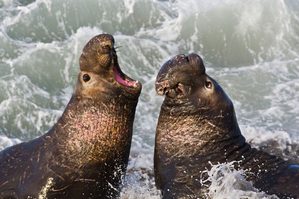
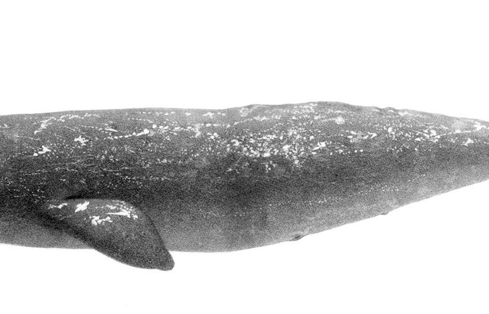
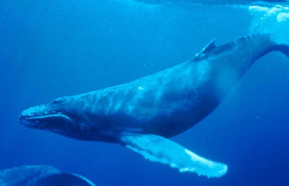
  • Wildlife heatmapsfor Northern Elephant Seal, Grey Whale, Humpback Whale, and 13 more
  • Works offlinemaps, 65 trails, 43 places, and audio download before you lose signal
  • CarPlay readysimple controls built for the drive
★★★★★
“Fantastic app with many points of information… It’s great to just turn on while you’re driving and it gives you an audio tour of the national Park. We love it!!!!”
JMJamesApp Store review
Download Parkwolf on the App StoreGet Parkwolf on Google Play

4.7 from 8,600+ ratings

Guide

More about Glen Campground

Why botherGlen is the Point Reyes backcountry camp you pick when you want trees instead of a coastline.

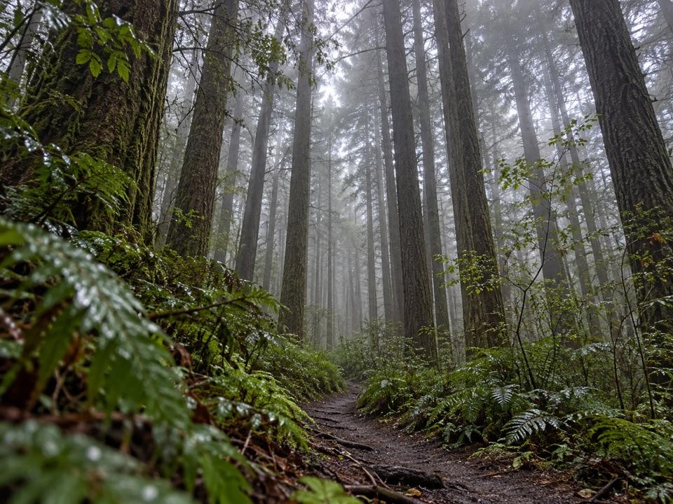
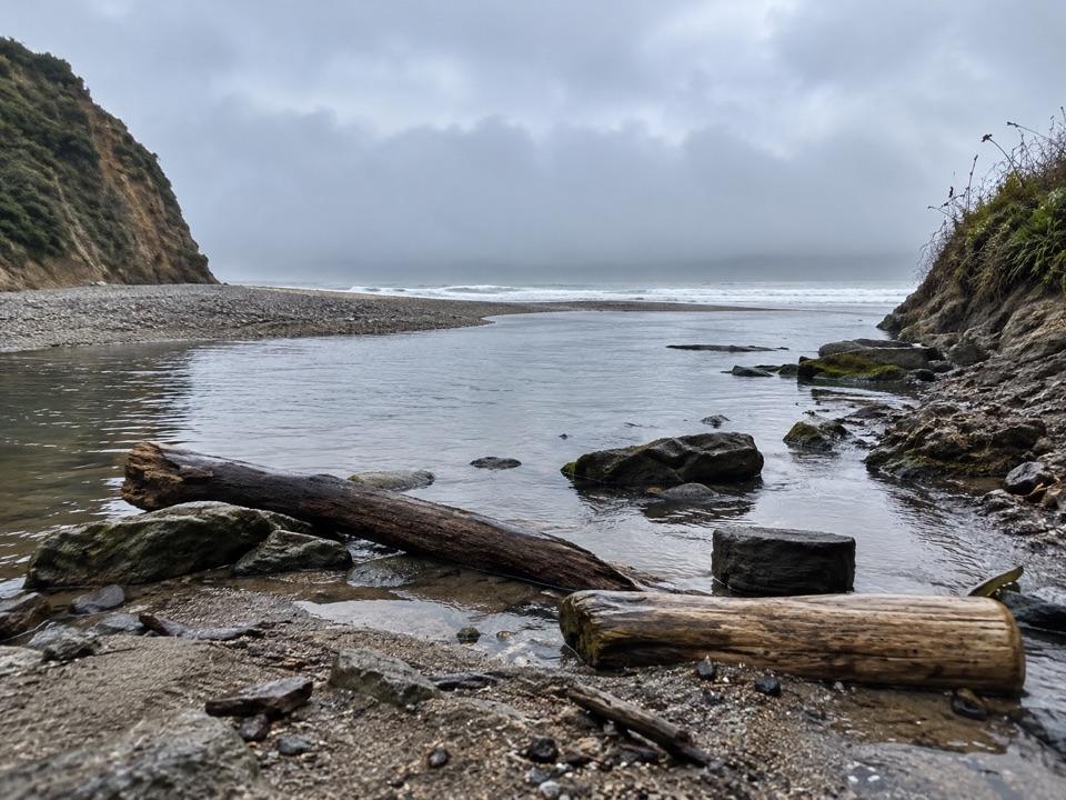
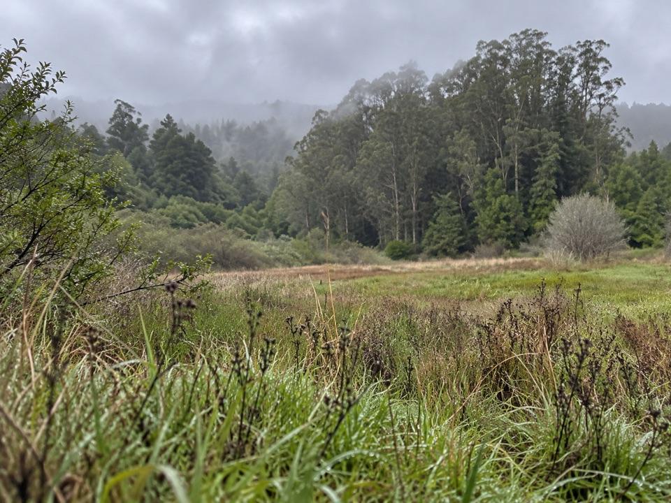
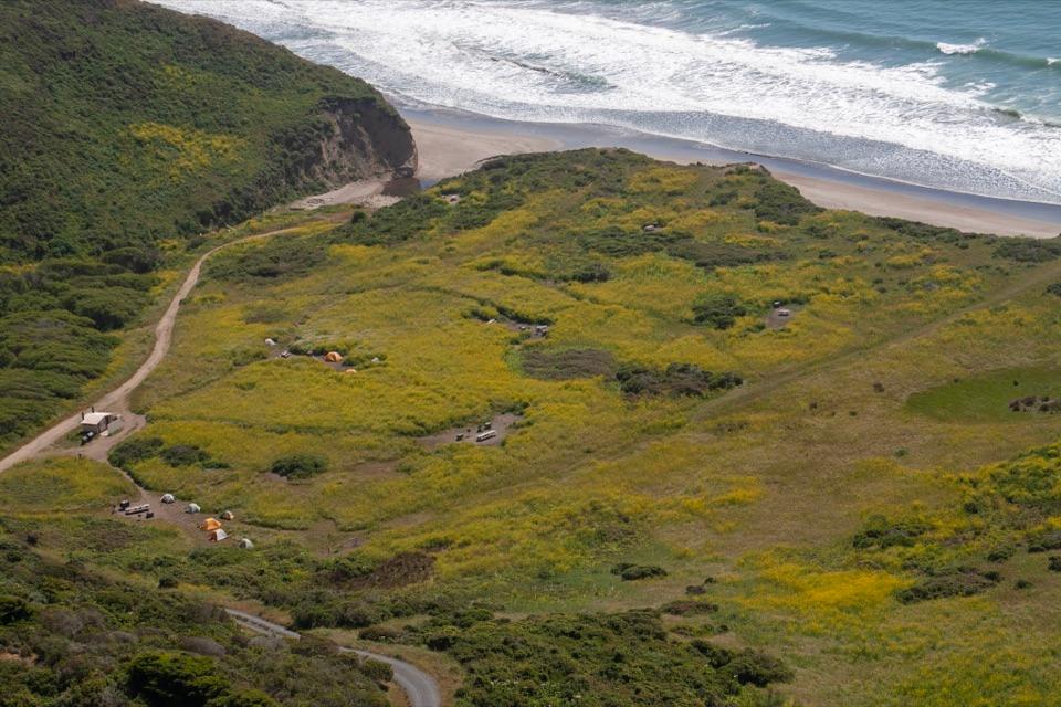
Glen is the Point Reyes backcountry camp you pick when you want trees instead of a coastline. It sits deep in a wooded valley, tucked far enough inland that the ocean wind mostly stops at the ridge. This is the one campground in the park without an ocean view, and the closest beach is about 2.5 miles further on foot. Come for a sheltered overnight base and shady trail miles, not for sunsets over the water.

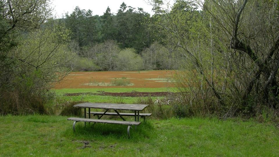
What it feels likeA small clearing at the edge of a meadow, ringed by dense green coastal woodland, with a dirt…

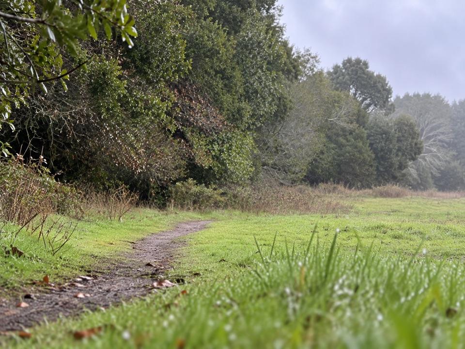
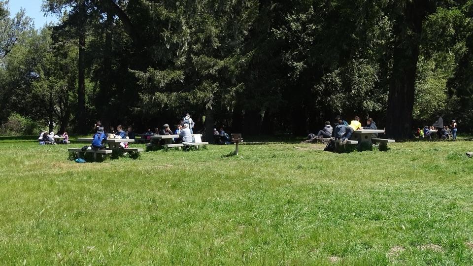
A small clearing at the edge of a meadow, ringed by dense green coastal woodland, with a dirt path connecting 12 individual sites scattered between open meadow, the edge of the woods, and full shade. It reads as genuinely remote: no staff, no store, no cell reception, no internet. Bird song and wind in the canopy are the ambient soundtrack. Some sites feel enclosed and private; others are open, or sit closer to the toilets and the main path, so privacy varies a lot by site number.

At campEach site has a picnic table and a food storage locker.

Each site has a picnic table and a food storage locker. Water is usually potable and vault toilets are available, centrally located rather than at each site. There are no showers, no camp store, and no staff. Gas camp stoves are allowed; wood, charcoal, and all other solid-fuel fires are prohibited, and the old charcoal grills are gone for good, so plan every meal around a stove. Bring a way to treat the water in case the treatment system is out of service. Reserve a permit through Recreation.gov before arrival, carry the confirmation, and leave a printout on the dashboard of each vehicle parked overnight. The campground itself stays open year-round, around the clock. Groups of seven or more are not allowed, and there are no group sites here. Pets are not permitted.

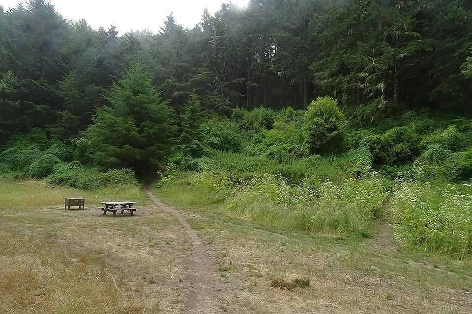
Honest drawbacksNo view. If you want the ocean from your tent, choose a different Point Reyes camp.
  • No view. If you want the ocean from your tent, choose a different Point Reyes camp.
  • Facilities are basic, and reports on toilet upkeep are mixed.
  • Site quality is uneven, and you cannot count on drawing a private, wooded one.
  • Everything you eat and cook with has to be carried in over at least 4.6 miles, with no way to resupply once you are there.

Wildlife

Wildlife in Point Reyes

All Point Reyes wildlife maps

Sighting maps show where each species has been reported across Point Reyes. Wildlife moves, so no sighting is guaranteed.

Keep exploring

Near Glen Campground

See it all on the map

Trails nearby

More stops nearby

Parkwolf’s Point Reyes ranking

Top sights in Point Reyes

All 43 places
  1. 1Point Reyes LighthouseSight
  2. 2Chimney RockSight
  3. 3Drakes BeachBeach
  4. 4Cypress Tree TunnelSight
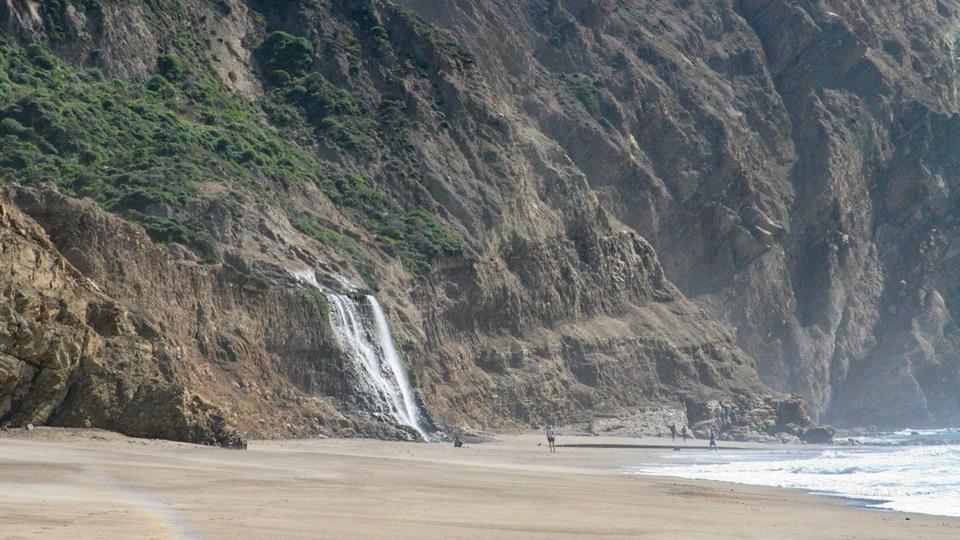
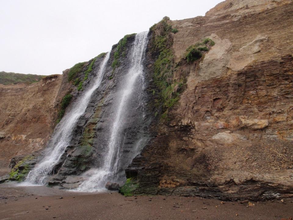
  5. 5Alamere FallsSight
  6. 6Pierce Point RanchSight

Take Parkwolf to Point Reyes.

The audio tour guide for the drive, plus offline maps, trails, and wildlife heatmaps for when the signal drops.

4.7 from 8,600+ ratings

Download Parkwolf on the App StoreGet Parkwolf on Google Play