Bear Valley Picnic Area in Point Reyes National Seashore

Picnic area · Point Reyes National Seashore

Bear Valley Picnic Area

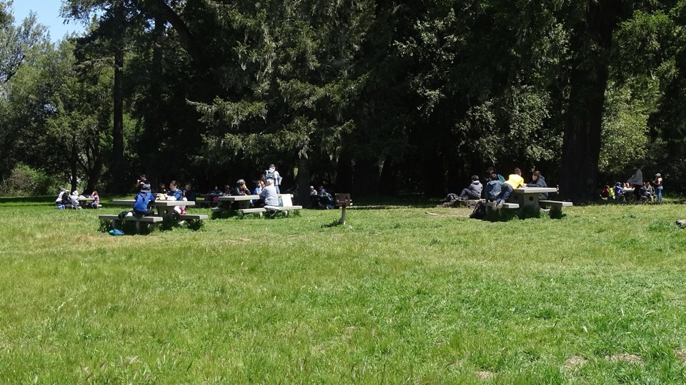
Twenty-five shaded tables, charcoal grills, and room for big groups

Photo: National Park Service
Type
Picnic area
Nearest trail
Right here
Audio stories
10 nearby
  • Parking
  • Picnic tables
  • Restrooms

Hear the audio tour

Bear Valley Visitor Center

Overview

About Bear Valley Picnic Area

Why stop

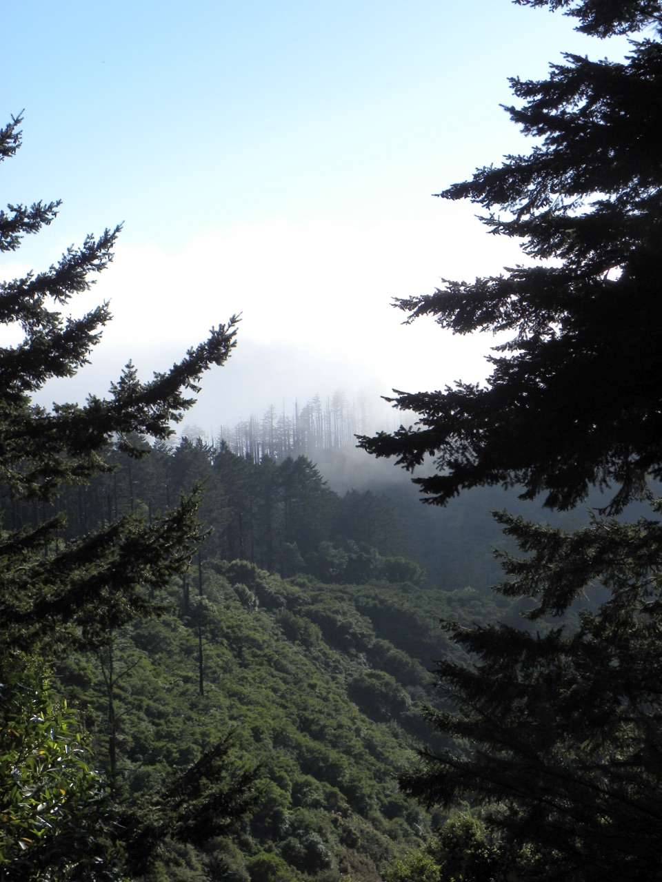
  • Shaded tables beneath Douglas fir and California bay laurels
  • Unusually large capacity for family and group picnics

Heads up

  • Practical meadow setting rather than a coastal panorama
  • Charcoal-only grilling limits cooking options
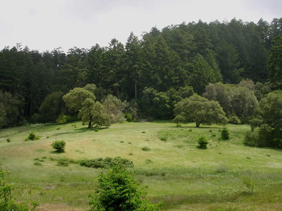
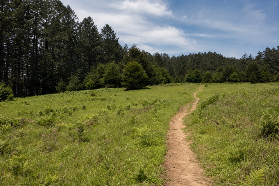
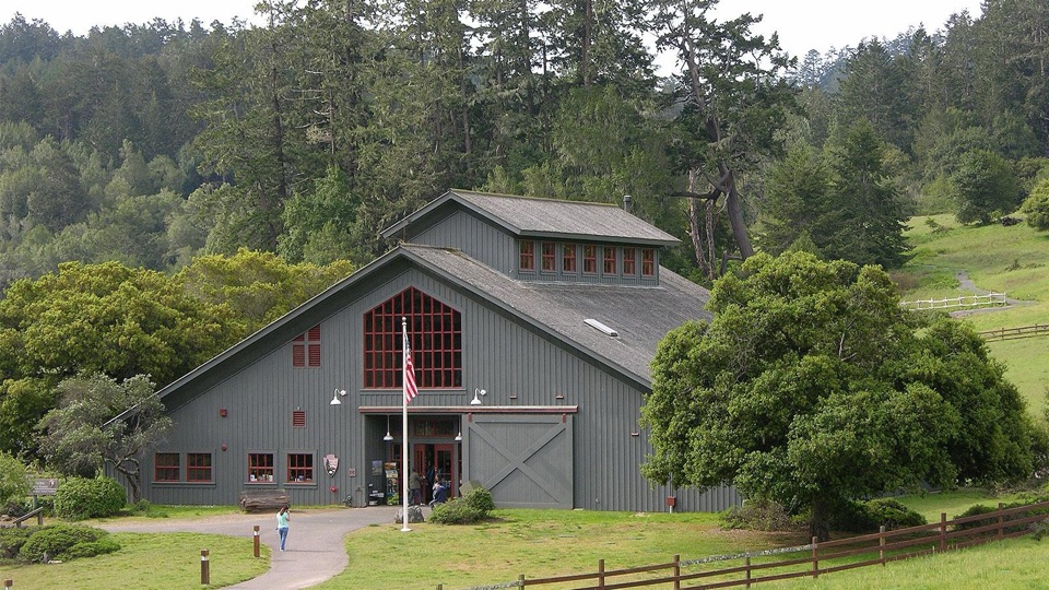
This is the largest picnic area in the seashore, sitting in a grassy meadow directly across the access road from the Bear Valley Visitor Center. Tall Douglas fir and California bay laurel shade part of the ground, so you can pick sun or shade depending on the day. It works best as a base or a lunch stop before or after a walk, or as a gathering spot when you have a crowd to feed.
Parkwolf’s verdictWhy stop here

Map

Where it is

Loading the Point Reyes map
Full map
Picnic areaBear Valley Picnic Area38.04109, -122.79903
Keep this map with you offline in the Parkwolf app

Plan your stop

Before you go

Best time to go

  • Use is free and first-come, first-served, so tables and grills go to whoever arrives first, and there is no way to hold a shaded table or a grill ahead of time.
  • One designated section is reservable for groups and can accommodate up to 100 people.
  • Groups larger than 25 require a permit. If you are planning a gathering of that size, arrange it in advance rather than showing up and hoping for space.


Parking and access

A gravel lot sits adjacent to the picnic area, so you can carry coolers and grocery bags a short distance from the car. The visitor center is just across the road, but treat it as a separate stop with its own facilities rather than part of the picnic grounds.

4 active Point Reyes alerts

  • ClosureOld Tocaloma/Platform Bridge closed to vehiclesDo not drive across the Old Tocaloma/Platform Bridge; it is closed to all vehicular traffic until further notice.Official details
  • ClosurePalomarin Beach Trail closedPalomarin Beach Trail is closed to all visitors, employees, and residents until further notice; do not use the trail. - The trail is closed because unstable and failing sections have made it unsafe.Official details
See all 4 alerts
A park ranger sits on a dash-mounted phone, talking, as Parkwolf’s Tour Guide plays “Army Cutworm Moths: A Grizzly Bear Buffet” on Grand Loop Road below Dunraven Pass in Yellowstone
Parkwolf Tour GuideThe highest, rockiest slopes around here are a summer buffet for grizzly bears.

Point Reyes Tour Guide

Your drive to Bear Valley Picnic Area, narrated.

Parkwolf is a GPS audio tour guide for Point Reyes National Seashore. As you drive, it chimes in with what’s ahead: hidden gems, upcoming stops, history, geology, and wildlife, right through your car’s speakers.

Recorded for this place

Bear Valley Visitor Center
0:00 / 0:32
“You're coming up on Bear Valley Visitor Center, a useful place to sort out your day before heading to the outer coast.”

Plays as you drive up to Bear Valley Picnic Area in the Parkwolf Point Reyes Tour Guide.

More stories near here in the app

  • The Horses That Still Work Here
  • The Ocean's Hidden Food Supply
  • A Tree Full of Acorns
  • The Beads That Traveled Inland
  • 61 audio storiesacross Point Reyes’s roads, triggered by GPS as you drive
  • Wildlife heatmapsfor Northern Elephant Seal, Grey Whale, Humpback Whale, and 13 more
  • Works offlinemaps, 65 trails, 41 places, and audio download before you lose signal
  • CarPlay readysimple controls built for the drive
★★★★★
“Fantastic app with many points of information… It’s great to just turn on while you’re driving and it gives you an audio tour of the national Park. We love it!!!!”
JMJamesApp Store review
Download Parkwolf on the App StoreGet Parkwolf on Google Play

4.7 from 8,600+ ratings

Guide

More about Bear Valley Picnic Area

What you'll findThe setting is open meadow with trees around the edges, and it is minimally exposed to wind,…

The setting is open meadow with trees around the edges, and it is minimally exposed to wind, which makes it a sensible fallback when the coast is blustery.

  • 25 picnic tables, some of them under tree cover
  • Five family-sized charcoal grills plus one group-sized grill
  • Flush toilets at the southern end of the area, including an accessible restroom
  • A potable water faucet near the restroom building
  • Garbage and recycling receptacles next to the restroom
Rules worth knowingCharcoal briquettes only in the provided grills. Wood fires are prohibited.
  • Charcoal briquettes only in the provided grills. Wood fires are prohibited. Small portable barbecues are allowed.
  • Pack out your ash and any used or unused charcoal. Nothing goes in the trash cans or on the ground.
  • Stay with a charcoal fire until it is cold.
  • Do not leave food unattended and do not feed wildlife.
  • If you move a table, return it where you found it, and leave no trace behind.
Honest drawbacksThis is a practical meadow picnic ground, not a coastal overlook, so come for the shade,…

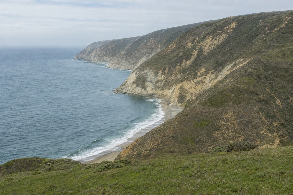
This is a practical meadow picnic ground, not a coastal overlook, so come for the shade, tables, and elbow room rather than a view. The charcoal-only grilling rule limits your cooking options, and because nothing except the group section can be reserved, there is no guarantee a table or grill will be open when you arrive.

Wildlife

Wildlife in Point Reyes

All Point Reyes wildlife maps

Sighting maps show where each species has been reported across Point Reyes. Wildlife moves, so no sighting is guaranteed.

Keep exploring

Near Bear Valley Picnic Area

See it all on the map

Trails nearby

More stops nearby

Parkwolf’s Point Reyes ranking

Top sights in Point Reyes

All 41 places
  1. 1Point Reyes LighthouseSight
  2. 2Chimney RockSight
  3. 3Drakes BeachBeach
  4. 4Cypress Tree TunnelSight
  5. 5Alamere FallsSight
  6. 6Pierce Point RanchSight

Take Parkwolf to Point Reyes.

The audio tour guide for the drive, plus offline maps, trails, and wildlife heatmaps for when the signal drops.

4.7 from 8,600+ ratings

Download Parkwolf on the App StoreGet Parkwolf on Google Play