Parking
Start at Tomales Point Trailhead beside Pierce Ranch at the end of Pierce Point Road. The dirt lot holds about 20 vehicles and can fill by midmorning on busy weekends and holidays; roadside parking is restricted.

#1 of 65 trails in Point Reyes
Point Reyes National Seashore, CA
Walk a wild elk ridge to the Pacific end of the peninsula.
Overview
Tomales Point Trail is a 9.5-mile out-and-back from Pierce Point Ranch to the northern tip of the peninsula, following an old ranch road along an open coastal ridge through tule elk habitat. The full distance is round trip; the mapped line follows the trail corridor once from the trailhead to the point. Choose the full hike for a long ridge walk, broad Pacific views, and the chance to see elk on their range. Plan on four to five hours, with more time for wildlife stops. Windy Gap is a 2-mile round trip, and Lower Pierce Ranch pond is about 6 miles round trip; both are shorter turnarounds on the same trail.
 Parkwolf’s verdictIs the full point hike for you?
Map & elevation
Plan your hike

The highest, rockiest slopes around here are a summer buffet for grizzly bears.
Point Reyes Tour Guide
Parkwolf is a GPS audio tour guide for Point Reyes National Seashore. As you drive, it chimes in with what’s ahead: hidden gems, upcoming stops, history, geology, and wildlife, right through your car’s speakers.
Recorded for this trailhead
Pierce Point Ranch and Tomales Point“Pierce Point Ranch is ahead, a cluster of white clapboard barns, dairy buildings, and a schoolhouse at the end of the road.”
Plays as you drive up to this trailhead in the Parkwolf Point Reyes Tour Guide.
More stories near here in the app
“Fantastic app with many points of information… It’s great to just turn on while you’re driving and it gives you an audio tour of the national Park. We love it!!!!”


Trail guide
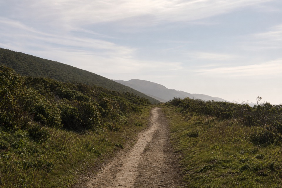
The path passes the west side of historic Pierce Ranch, then heads through coastal scrub onto a broad, mostly level track. The first mile is hard-packed and changes elevation very little, so the Pacific opens up early without much climbing. At Windy Gap, the trail drops into White Gulch. A perennial spring below the route draws tule elk, and Hog Island sits beyond the gulch; the animals are wild, so keep to the trail and give them space. Turning back here makes the easiest version of the walk.
Beyond the gap, the trail climbs the ridge crest to its high point about 2.25 miles from the start. It then drops steeply toward the old Lower Pierce Ranch site and its stock pond, about 3 miles each way. Herons and ducks may be around the water as well as elk. The historic ranching story stays visible in the route itself: much of the path follows an old ranch road across the point.
The final 1.7 miles to Tomales Point are unmaintained. The earlier hard-packed track gives way to loose sand and often overgrown tread, with branching social paths through bush lupine that can be difficult to distinguish in fog. The paths tend to rejoin near the end, but follow the most established line rather than cutting toward a view. At the northern point, the ridge breaks into rocky coastal bluffs above surf, with views across the surrounding bays and peninsula. Keep the rocks and moving water in a photo to show the scale of the shore.
The full route is worth choosing only if you are comfortable with the long distance and rough finish. The bluff edges can crack or slide, especially after wet weather, so stay well back from them. Wind can be strong on the open ridge; summer fog is common, and winter rain can leave the trail muddy.
Start at Tomales Point Trailhead beside Pierce Ranch, at the end of Pierce Point Road. The dirt lot holds about 20 vehicles and can fill by midmorning on busy weekends and holidays; roadside parking is restricted. There is no potable water at the point, so fill up before the drive. McClures Beach parking lot has restrooms, a separate stop on the way in. Food services are not available out at the point. Dogs and bicycles are prohibited on the trail. The area is open to day hiking year-round, though wind, fog and winter mud can shape how much of the ridge you enjoy.
Wildlife
 2,552 sightingsNorthern Elephant SealMost seen around 11 AMSighting map
 127 sightingsGrey WhaleMost seen around noonSighting map
 109 sightingsHumpback WhaleMost seen around 10 AMSighting map
 29 sightingsSteller Sea LionMost seen around noonSighting map
 203 sightingsCalifornia Sea LionMost seen around noonSighting map
 352 sightingsHarbor SealMost seen around 7 AMSighting map
Sighting maps show where each species has been reported across Point Reyes. Wildlife moves, so no sighting is guaranteed.
Keep exploring
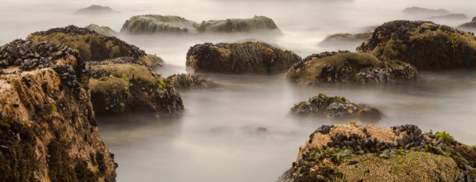 ModerateMcClures Beach Trail0.8 mi · 45 min · 0.2 mi awayA sandy ravine descent to a cove of surf and sea stacks.
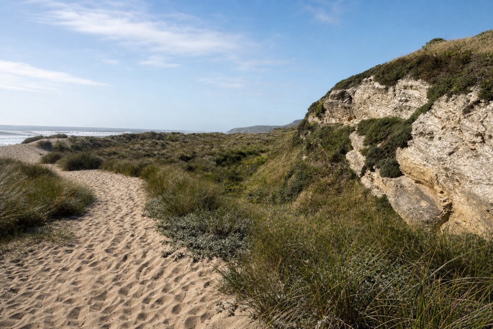 EasyKehoe Beach Trail1.2 mi · 1 hr · 2.6 mi awayA short dune crossing leads to a wild, surf-washed beach.
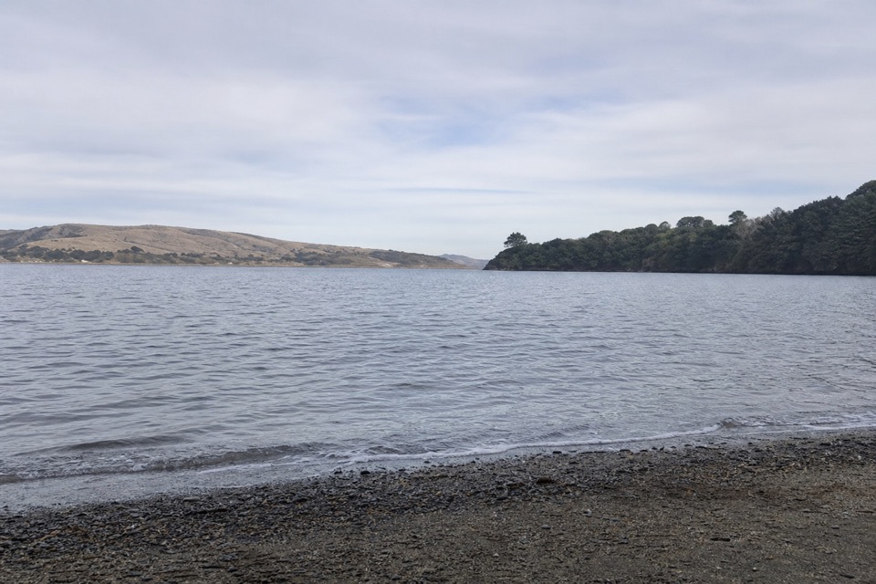 ModerateMarshall Beach Trail2.4 mi · 1.5 hr · 3 mi awayA ranch road drops through pasture to a small Tomales Bay cove.
 EasyAbbotts Lagoon Trail2.8 mi · 1.3 hr · 4.6 mi awayThree lagoons, a footbridge, and a sandy finish at Great Beach.
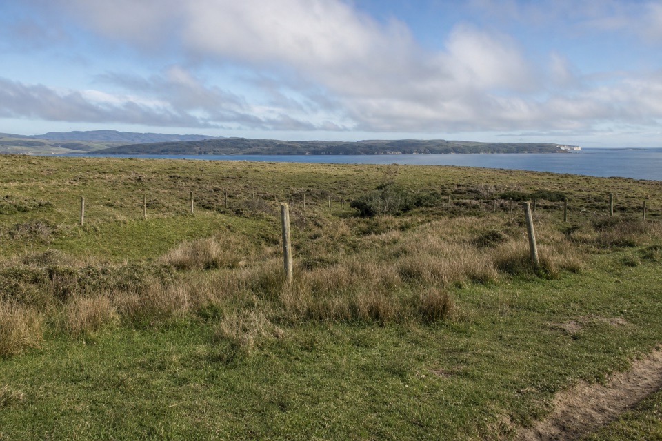 EasyBull Point Trail3.6 mi · 2 hr · 7.5 mi awayA level pasture walk to the grassy edge of Drakes Estero
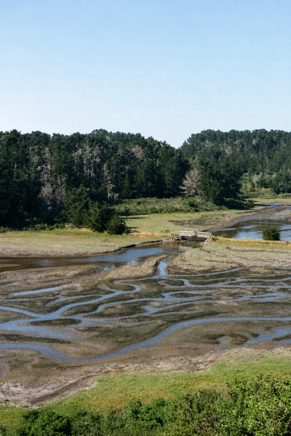 EasyEstero Trail to Home Bay2.4 mi · 1.3 hr · 7.7 mi awayA short grassland walk ends at a footbridge over Home Bay.
 ModerateDrakes Head via Estero Trail8.8 mi · 5 hr · 7.7 mi awayLong pasture miles end at a bluff above Drakes Estero.
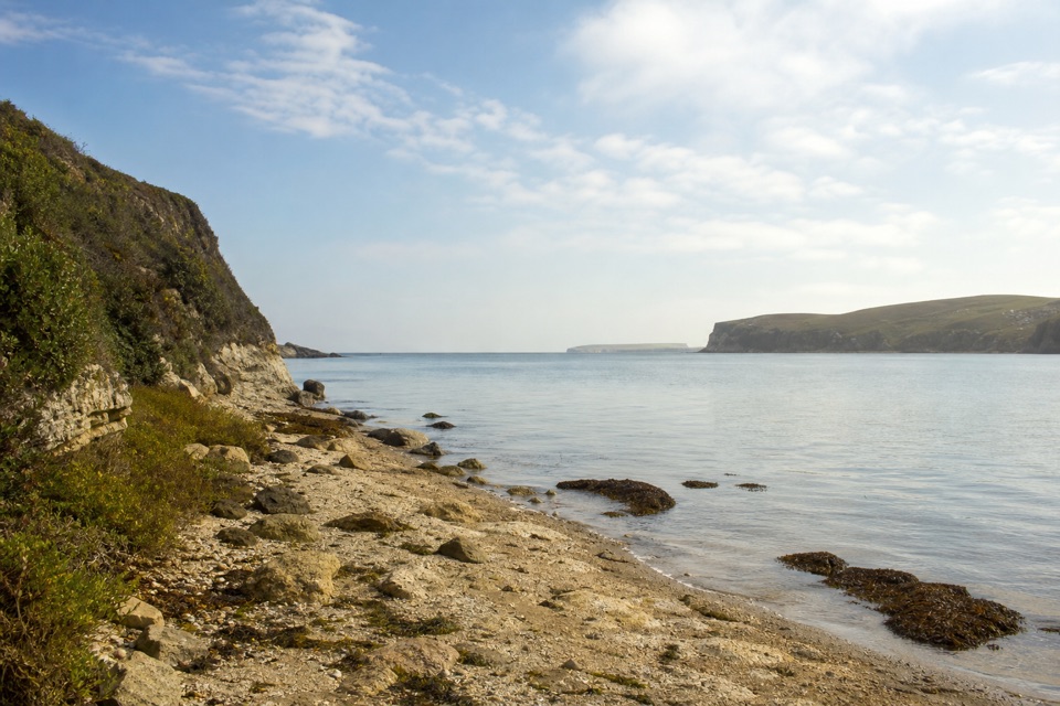 ModerateSunset Beach via Estero Trail7.8 mi · 4 hr · 7.7 mi awayEstuary views and working pasture lead to a rocky wetland shore.
 Sight · 0.1 mi awayPierce Point RanchWeathered 1858 dairy ranch you can wander, high above Tomales Bay
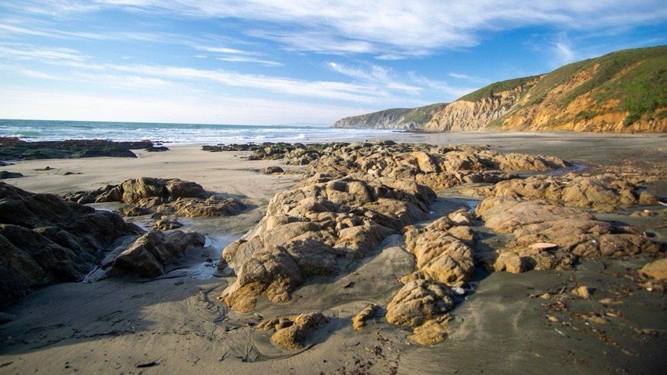 Beach · 0.6 mi awayMcClures BeachSteep sandy path drops to a wild cove between rocky headlands
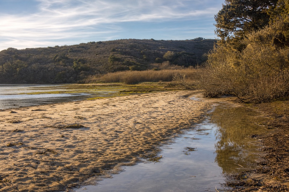 Beach · 2 mi awayTomales BeachKayak-in camp beach with vault toilets, so no wag bag needed
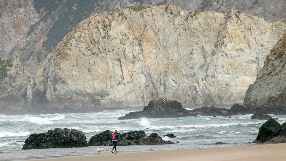 Beach · 2.4 mi awayKehoe BeachShort dune walk to a wide, wind-scoured surf beach
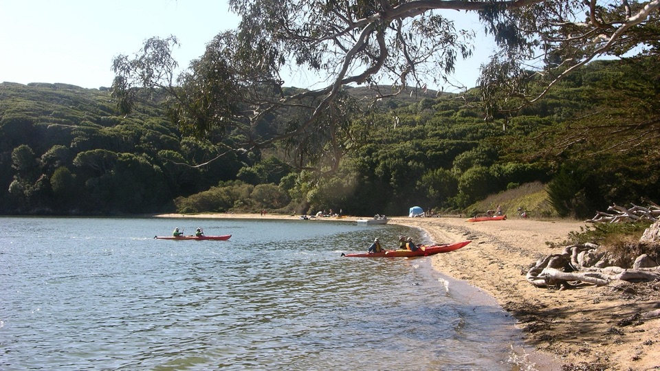 Beach · 2.8 mi awayMarshall Beach400-foot Tomales Bay strand most visitors reach by small watercraftSight · 3.3 mi awayTomales PointNarrow ridge walk between bay and ocean, with tule elk country
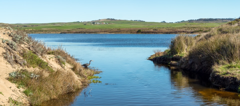 Sight · 4.9 mi awayAbbotts LagoonFlat walk past coastal lagoons and dunes to a wild ocean beach
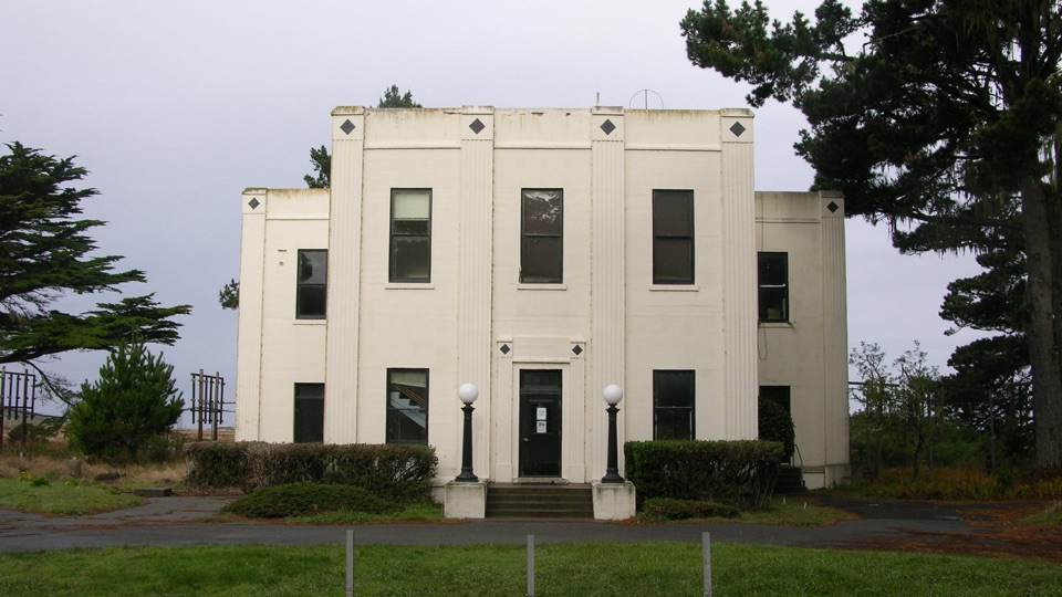 Sight · 6.4 mi awayHistoric KPH Maritime Radio Receiving StationRestored Morse code station at the end of a cypress tunnel
Parkwolf’s Point Reyes ranking
The audio tour guide for the drive, plus offline maps, trails, and wildlife heatmaps for when the signal drops.