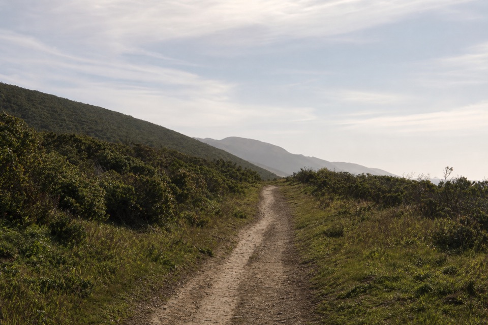
Parking
Use the small dirt lot on the west side of Home Ranch Road, one mile from Sir Francis Drake Boulevard; about 30 vehicles. The narrow road has few pull-offs, so RVs and vehicles with trailers are discouraged.

#6 of 65 trails in Point Reyes
Point Reyes National Seashore, CA
Long pasture miles end at a bluff above Drakes Estero.
Overview
Drakes Head via Estero Trail is an 8.8-mile out-and-back from Estero Trailhead to a bluff above the southern end of Drakes Estero. The route crosses coastal grassland, a short Monterey pine grove, low cattle-pasture ridges and a final spur along the headland. Plan on about five hours. This is a half-day walk for people who want to spend time in the landscape, not just reach a viewpoint; the payoff comes after miles of exposed walking. The Sunset Beach spur branches off the same trail network, but it is a different destination and is not part of this distance.
 Parkwolf’s verdictIs this the long estuary walk for you?
Map & elevation
Plan your hike

The highest, rockiest slopes around here are a summer buffet for grizzly bears.
Point Reyes Tour Guide
Parkwolf is a GPS audio tour guide for Point Reyes National Seashore. As you drive, it chimes in with what’s ahead: hidden gems, upcoming stops, history, geology, and wildlife, right through your car’s speakers.
Recorded for this trailhead
Estero Trailhead and Home Bay“Up ahead is Estero Trailhead. For a short estuary walk, follow the grassland path past an abandoned Christmas-tree farm to the Home Bay bridge, two point four miles round trip; allow about an hour.”
Plays as you drive up to this trailhead in the Parkwolf Point Reyes Tour Guide.
More stories near here in the app
“Fantastic app with many points of information… It’s great to just turn on while you’re driving and it gives you an audio tour of the national Park. We love it!!!!”


Trail guide
The first 0.6 mile moves through grassland, then skirts the northern edge of an abandoned Christmas-tree farm before entering the Monterey pines. About 1.2 miles from the start, the path crosses the breached earthen dam at Home Bay on a footbridge with benches. Ranchers once dammed the bay's head to make a stock pond; the bridge is a good place to pause and look for herons, egrets and other birds over the estuary. The pines offer the route's main short patch of shade. Past the bridge, small climbs and descents begin, with stock ponds in the pasture below.
The route stays on Estero Trail as it rolls across cattle pasture. There are gates; leave each as you found it. Near the Sunset Beach junction, stay on Estero Trail toward Drakes Head instead of following the separate spur to a marshy wetland. Farther on, the hiking line can look like one of several cattle paths. Follow the trail markers, then turn right onto Drakes Head Trail at a junction marked by fence lines, a small corral and an old round concrete trough. This final, roughly 1.3-mile stretch opens onto views across the estuary. The destination is a coastal bluff with Limantour Spit, the Pacific and the water below in view. Its southern edge is a steep cliff, so keep back from the rim. Frame water and shoreline together if you want a photo that shows the breadth of the estuary.
The same 8.8 miles bring you back over the exposed pasture. Short grass and packed dirt dominate, with ruts and animal holes underfoot; winter rain can leave sections muddy. Summer fog and cool temperatures are common, and the open ground has little shade. The dirt lot is on the west side of Home Ranch Road, a mile from Sir Francis Drake Boulevard, and holds about 30 vehicles. Home Ranch Road is narrow with few good pull-offs, so RVs and vehicles with trailers are discouraged. The trailhead has a vault toilet, picnic table and kiosk, but no water or food service was found along the route. Pets are not allowed. If you want a shorter walk, Home Bay's bridge is a natural turnaround before the longer pasture crossing to Drakes Head.
Wildlife
 2,552 sightingsNorthern Elephant SealMost seen around 11 AMSighting map
 127 sightingsGrey WhaleMost seen around noonSighting map
 109 sightingsHumpback WhaleMost seen around 10 AMSighting map
 29 sightingsSteller Sea LionMost seen around noonSighting map
 203 sightingsCalifornia Sea LionMost seen around noonSighting map
 352 sightingsHarbor SealMost seen around 7 AMSighting map
Sighting maps show where each species has been reported across Point Reyes. Wildlife moves, so no sighting is guaranteed.
Keep exploring
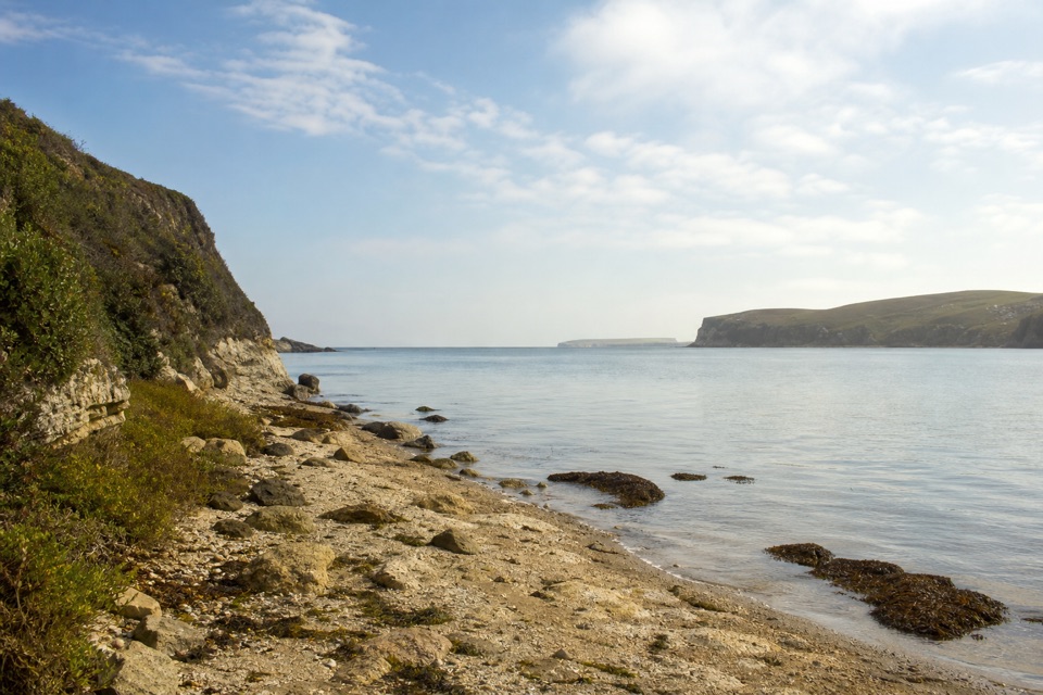 ModerateSunset Beach via Estero Trail7.8 mi · 4 hr · At the trailheadEstuary views and working pasture lead to a rocky wetland shore.
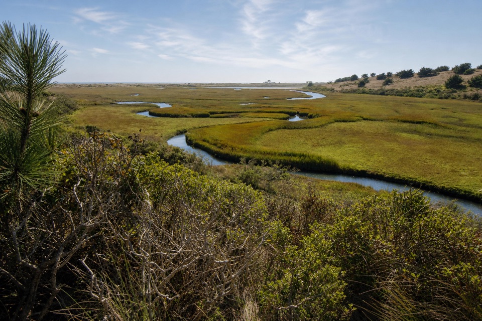 ModerateEstero–White Gate Loop11.4 mi · 5.5 hr · At the trailheadTwo estuaries, marsh ponds, and a four-mile retrace.
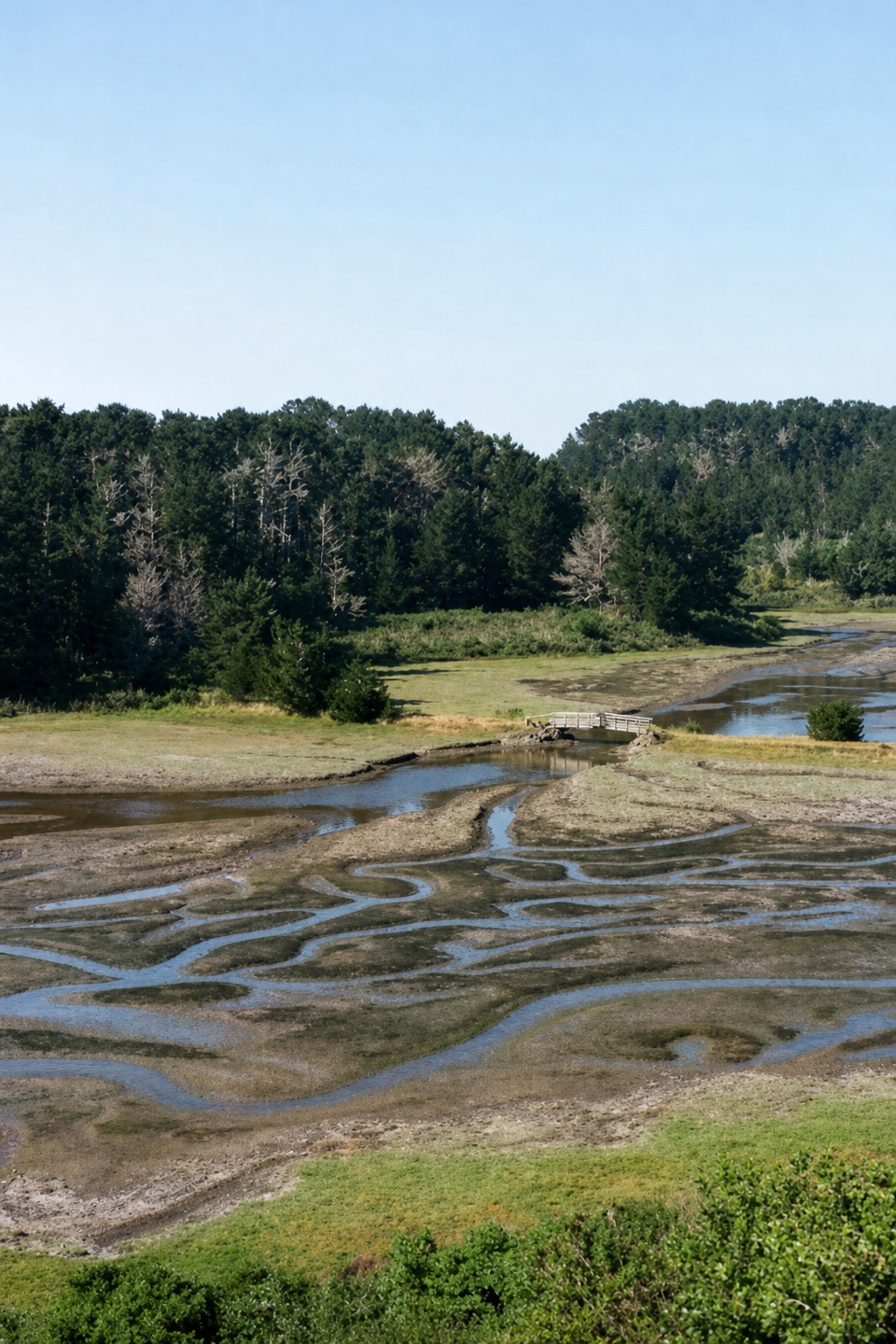 EasyEstero Trail to Home Bay2.4 mi · 1.3 hr · At the trailheadA short grassland walk ends at a footbridge over Home Bay.
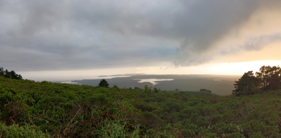 ChallengingBucklin–Muddy Hollow Road–Drakes View–Inverness Ridge Loop7.7 mi · 5 hr · 2.4 mi awayA strenuous ridge loop with wide Drakes Bay views.
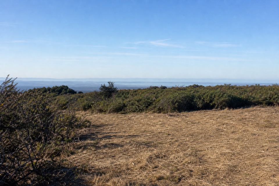 ChallengingBucklin–Muddy Hollow Road–Bayview–Inverness Ridge Loop8.6 mi · 5 hr · 2.4 mi awayAn 8.6-mile strenuous loop from ridge views into pine forest.EasyPoint Reyes Hill Trail1 mi · 30 min · 2.4 mi awayA short ridge walk ends at a bench above Drakes Bay.
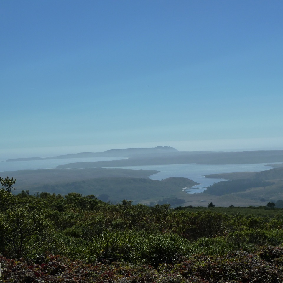 ModerateInverness Ridge Trail3.2 mi · 1.8 hr · 2.4 mi awayA quiet ridge crossing opens toward Drakes Estero and the Pacific.
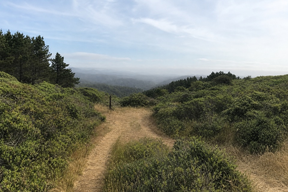 ModerateBucklin Trail5.4 mi · 3.5 hr · 2.4 mi awayA ridge connector with ocean views from Limantour to Chimney Rock.
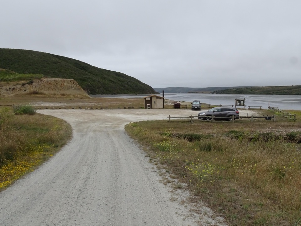 Sight · 1 mi awayDrakes Estero Kayak LaunchPaddle into a hushed marine wilderness of seals, rays and birds
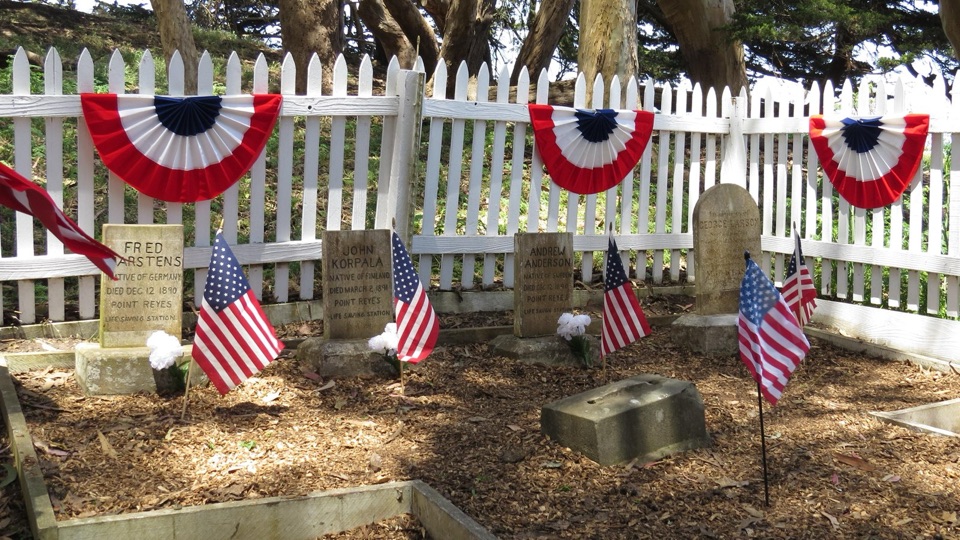 Sight · 1.3 mi awayHistoric Life-Saving Service CemeteryFour surfmen's graves behind a white picket fence in eucalyptus
 Sight · 1.9 mi awayCypress Tree TunnelQuarter mile of 1930s Monterey cypress arched into a green tunnel
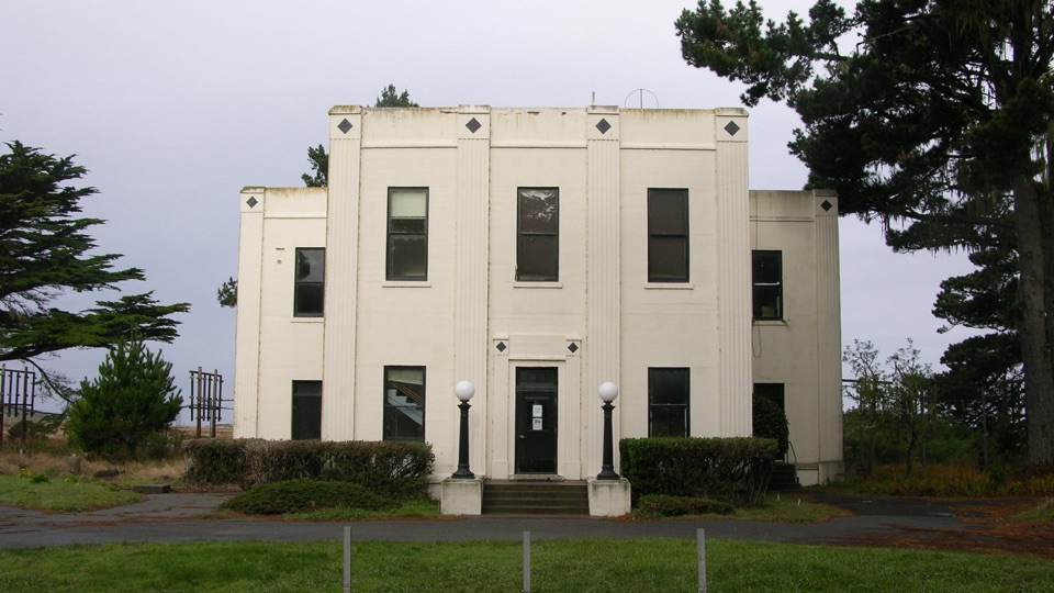 Sight · 2.1 mi awayHistoric KPH Maritime Radio Receiving StationRestored Morse code station at the end of a cypress tunnel
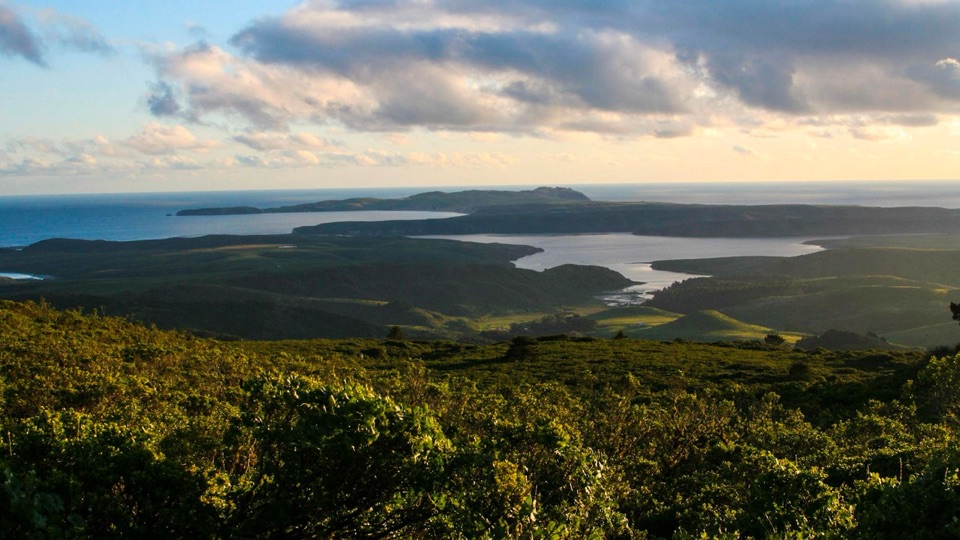 Sight · 2.2 mi awayMount VisionDrive-up peak with panoramic views over esteros, headlands and ocean
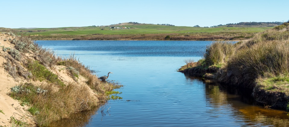 Sight · 3.1 mi awayAbbotts LagoonFlat walk past coastal lagoons and dunes to a wild ocean beach
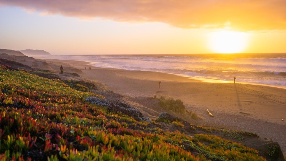 Beach · 3.4 mi awayPoint Reyes Beach NorthDrive right to the dunes for crashing Pacific surf and big sunsets
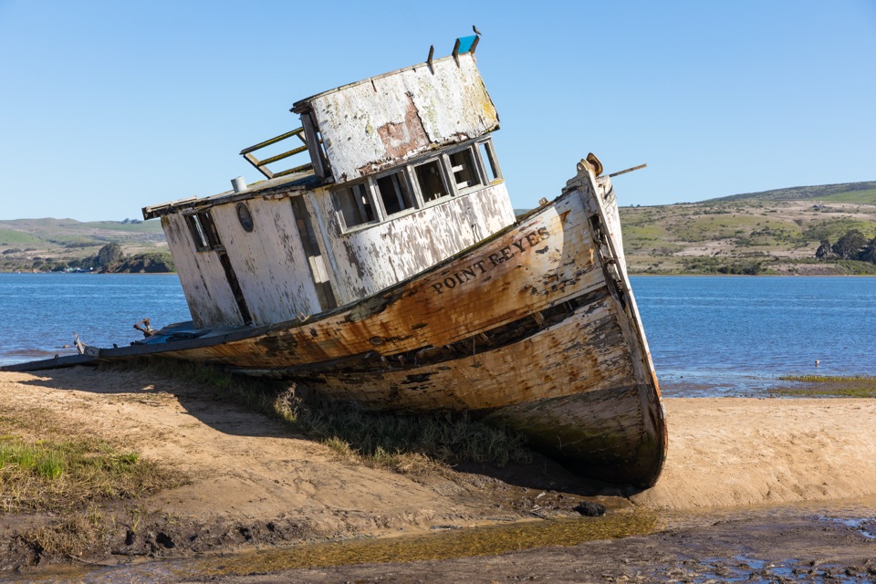 Sight · 3.6 mi awayPoint Reyes ShipwreckCollapsing wooden fishing boat settled into Tomales Bay mudflats
Parkwolf’s Point Reyes ranking
The audio tour guide for the drive, plus offline maps, trails, and wildlife heatmaps for when the signal drops.