Parking
Use the Olema Valley (Hagmaier) Trailhead on Highway 1, six miles south of Olema and across from Randall Trailhead. Parking is on unpaved highway shoulders; park fully outside the travel lane.
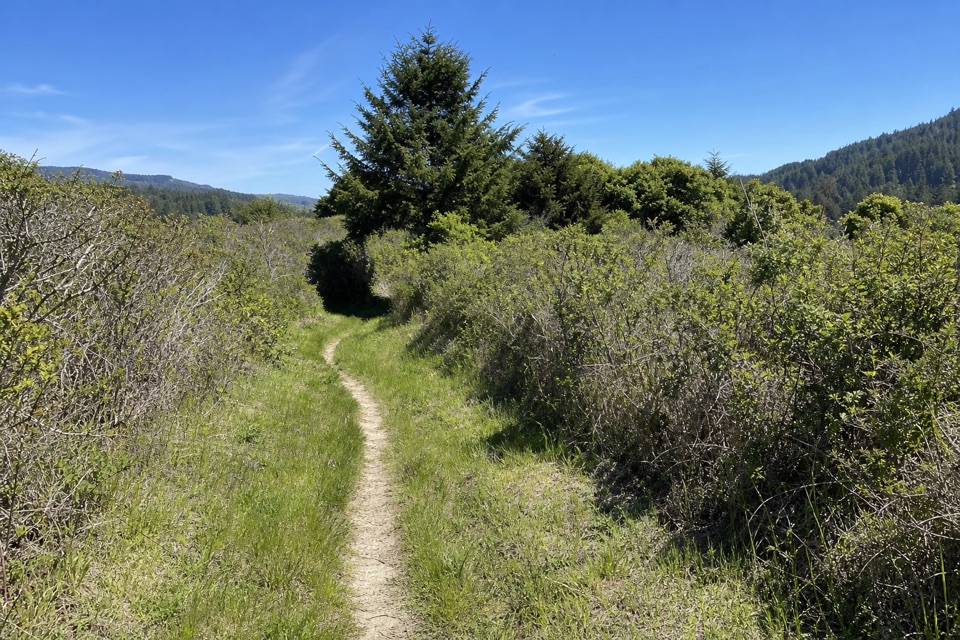
Point Reyes National Seashore, CA
A strenuous 10.1-mile loop across Olema Valley and Inverness Ridge
Overview
Map & elevation
Plan your hike

The highest, rockiest slopes around here are a summer buffet for grizzly bears.
Point Reyes Tour Guide
Parkwolf is a GPS audio tour guide for Point Reyes National Seashore. As you drive, it chimes in with what’s ahead: hidden gems, upcoming stops, history, geology, and wildlife, right through your car’s speakers.
Recorded for this area
The Mill Behind Five Brooks Pond“The pond at Five Brooks is a piece of logging history. A lumber company built it for a sawmill in nineteen fifty-six, when this was still working timberland.”
Plays on the road 0.6 mi from the trailhead in the Parkwolf Point Reyes Tour Guide.
More stories near here in the app
“Fantastic app with many points of information… It’s great to just turn on while you’re driving and it gives you an audio tour of the national Park. We love it!!!!”


Trail guide
This is a 10.1-mile strenuous loop from Olema Valley (Hagmaier) Trailhead, reached by a half-mile connector to Olema Valley Trail. You walk that connector both ways, so the route is a lollipop attached to a circuit rather than a loop that closes at the car. From the junction, it follows Olema Valley south to Teixeira, climbs to Ridge, crosses Inverness Ridge, and returns via Bolema and the upper valley. Plan for about five hours. The payoff is a long, varied walk through wooded valleys and along the ridge, not a summit or single big overlook.
Olema Valley is a lower, wooded corridor. The standout effort is Teixeira: after crossing Pine Gulch Creek, an unbridged crossing, steady switchbacks climb through bay and fir to Pablo Point, then ease into a more gradual grade. Ridge links that high ground along Inverness Ridge inside Phillip Burton Wilderness. The official route description names no viewpoint on this circuit, so choose it for the full forest-and-ridge walk rather than a specific panorama. Teixeira takes its name from Joseph and Mary Teixeira's dairy ranch, which operated here from 1920 to 1971.
Bolema descends from Ridge to Olema Valley on a shaded trail through oak, bay, and fir. Poison oak and stinging nettle are reported along this stretch, so stay on the path. The changing trail corridors make this a more varied day than an out-and-back to Pablo Point. If you only want the Teixeira climb, that trail alone is a shorter option from Olema Valley, listed at 1.9 miles each way.
Hagmaier access is on the west side of Highway 1, six miles south of Olema and opposite the Randall Trailhead. Parking is on unpaved road shoulders; leave your vehicle completely clear of the travel lane. Pets are prohibited on these trails, and bikes are prohibited on Teixeira, Ridge, and Bolema, so a bicycle can't complete this loop. In winter and spring, Olema Valley is often muddy and flooded. A ford just south of Teixeira's junction is frequently knee-deep and opaque with silt. Teixeira also crosses Pine Gulch Creek without a bridge. Check current conditions before setting out, especially after rain.
Wildlife
 2,552 sightingsNorthern Elephant SealMost seen around 11 AMSighting map
 127 sightingsGrey WhaleMost seen around noonSighting map
 109 sightingsHumpback WhaleMost seen around 10 AMSighting map
 29 sightingsSteller Sea LionMost seen around noonSighting map
 203 sightingsCalifornia Sea LionMost seen around noonSighting map
 352 sightingsHarbor SealMost seen around 7 AMSighting map
Sighting maps show where each species has been reported across Point Reyes. Wildlife moves, so no sighting is guaranteed.
Keep exploring
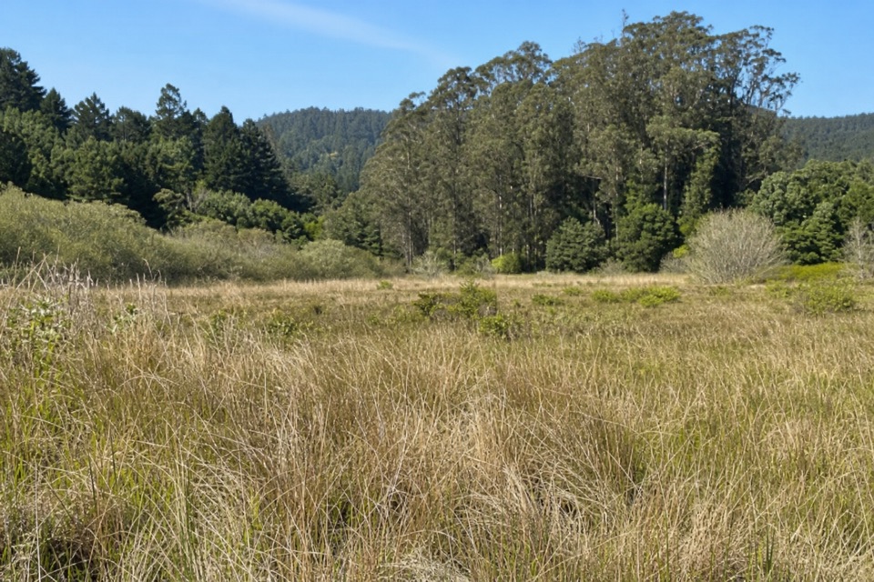 ChallengingRandall–Bolinas Ridge–McCurdy–Olema Valley Loop8.6 mi · 4.5 hr · At the trailheadA strenuous loop links ridge views with a creek-crossing valley return.
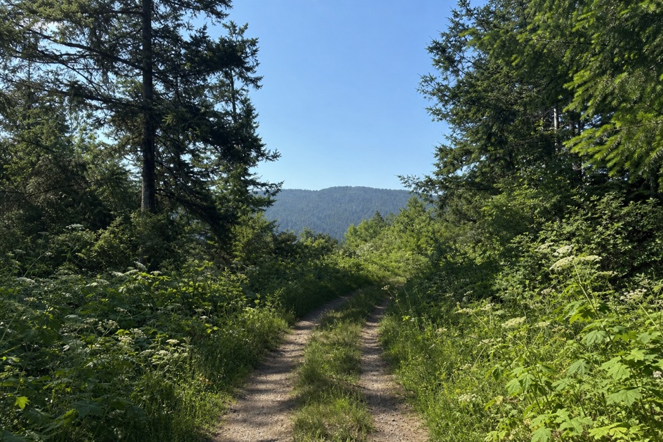 ChallengingRandall Trail3.4 mi · 2.5 hr · At the trailheadClimb through pasture and redwoods to Bolinas Ridge
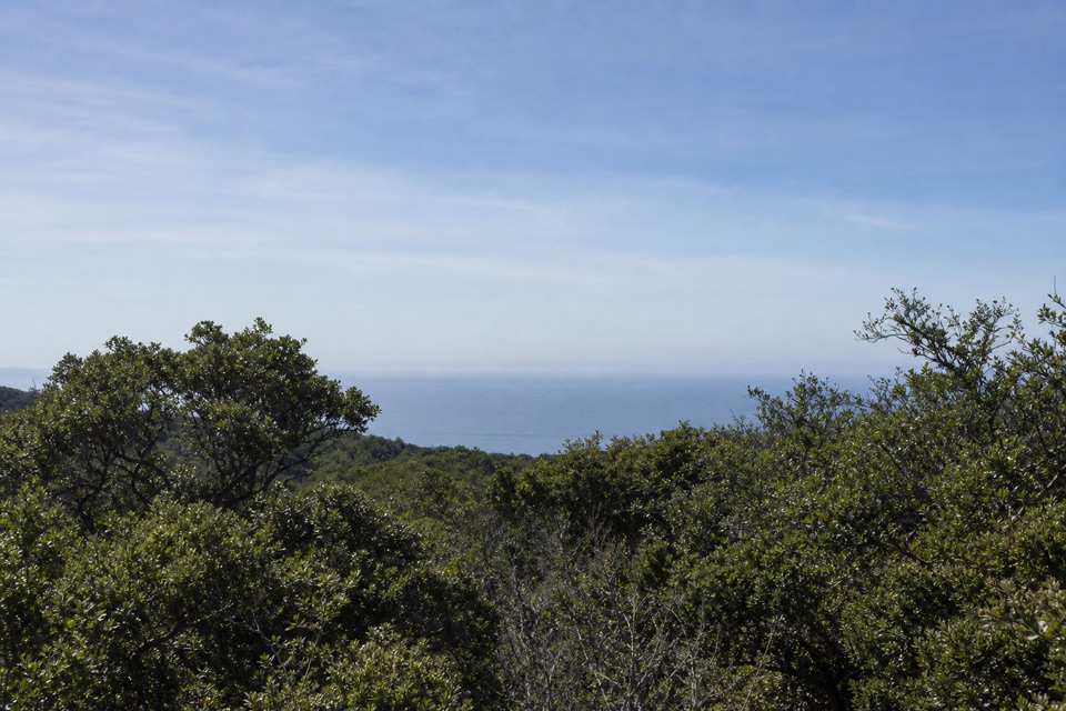 ChallengingMcCurdy Trail4 mi · 2.5 hr · 2.1 mi awayClimb through pasture, redwoods and chaparral to Bolinas Ridge.
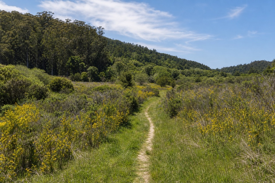 ChallengingPablo Point Trail5.4 mi · 4 hr · 2.1 mi awayA 5.4-mile out-and-back to an unmaintained meadow spur.
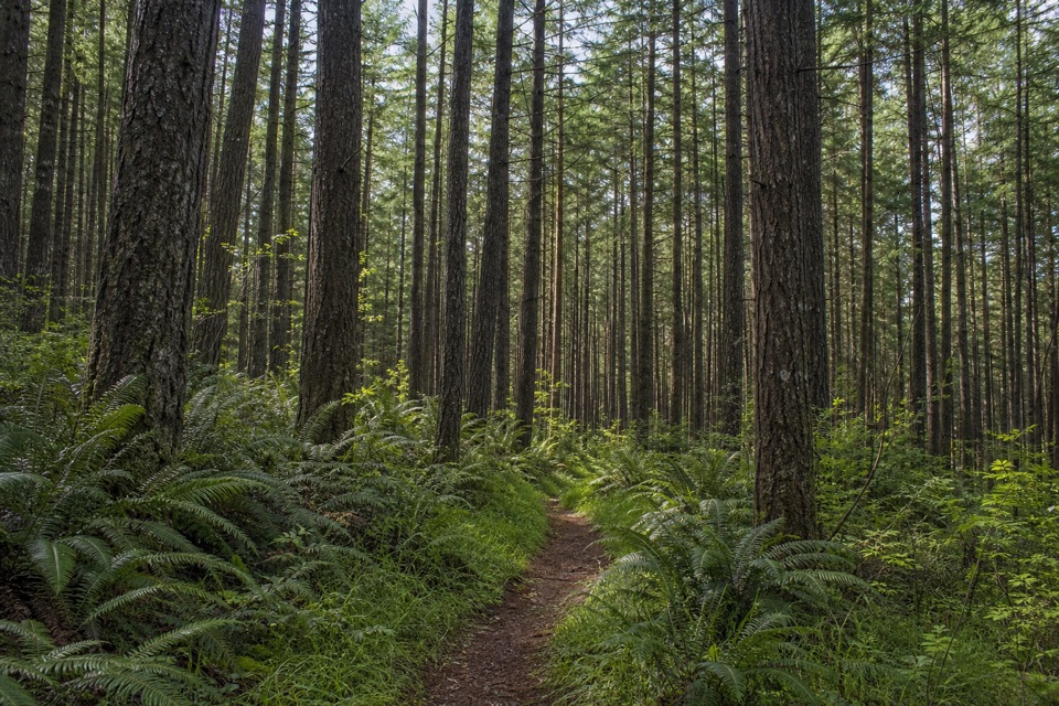 ModerateStewart–Greenpicker Loop7 mi · 4 hr · 2.3 mi awayShady forest, ferns, and a climb that can turn muddy
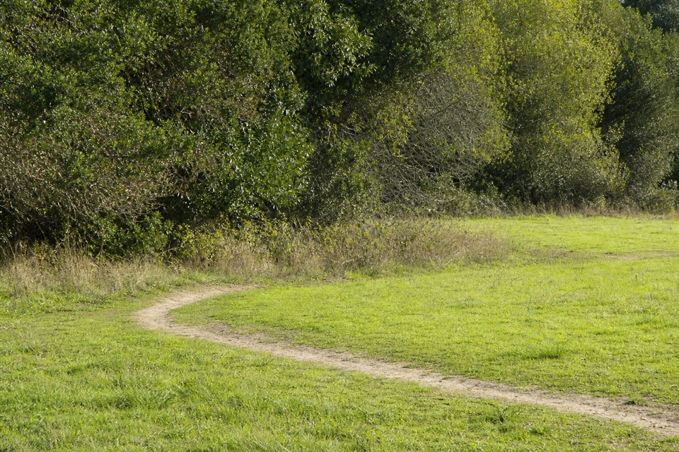 ModerateRift Zone Trail8.6 mi · 4 hr · 2.3 mi awayThe San Andreas Fault leaves clues you can walk right past.
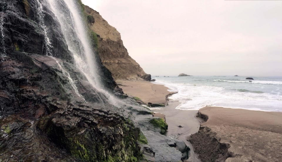 ChallengingStewart Trail to Wildcat Beach13.4 mi · 6 hr · 2.3 mi awayA long ridge climb ends at a beach beneath the bluff.
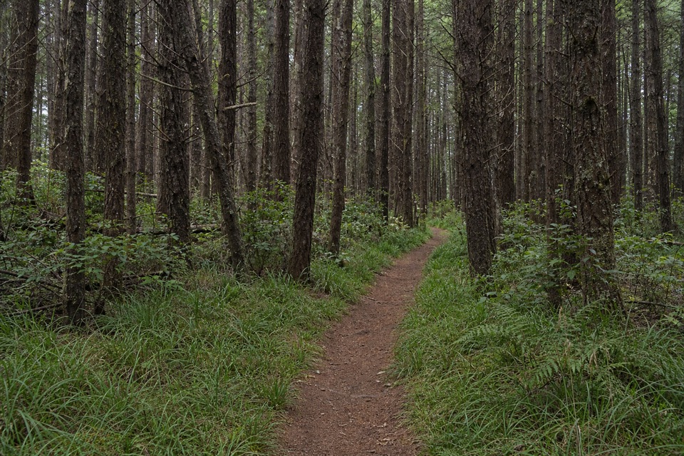 ModerateFive Brooks Loop6.1 mi · 3.5 hr · 2.3 mi awayA shady loop with a steady climb and a historic mill pond.
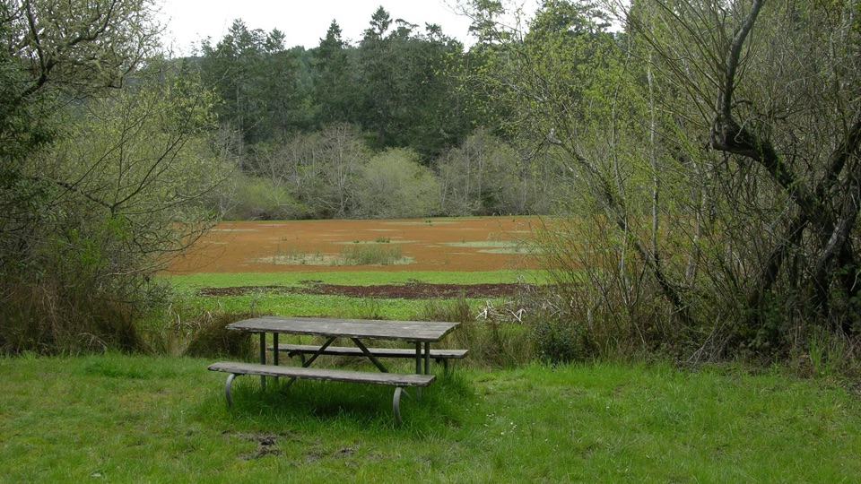 Picnic area · 2.3 mi awayFive Brooks Picnic AreaSix trailside tables, some beside an abandoned mill pond
 Sight · 3.2 mi awayAlamere FallsA 40-foot cascade spilling over coastal cliffs onto a wilderness beach
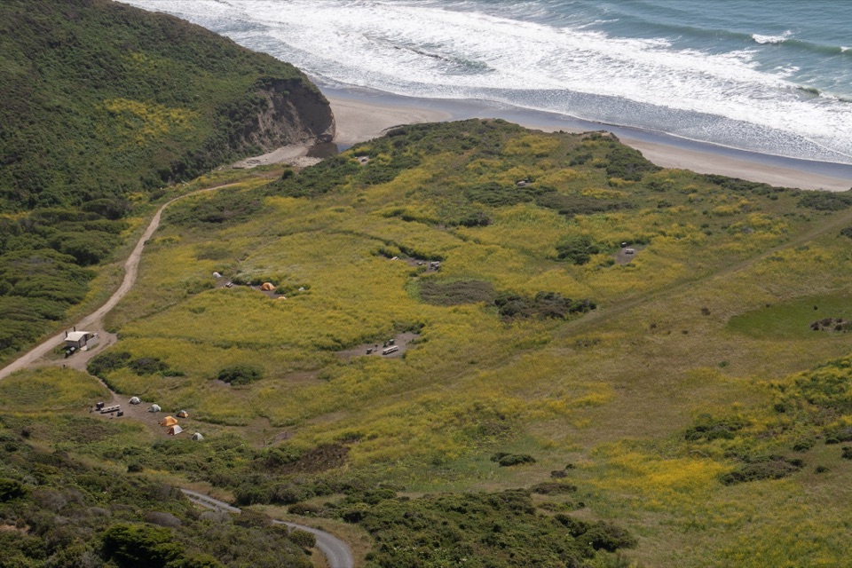 Campground · 3.3 mi awayWildcat CampgroundHike-in bluff meadow above the surf, a mile from Alamere Falls
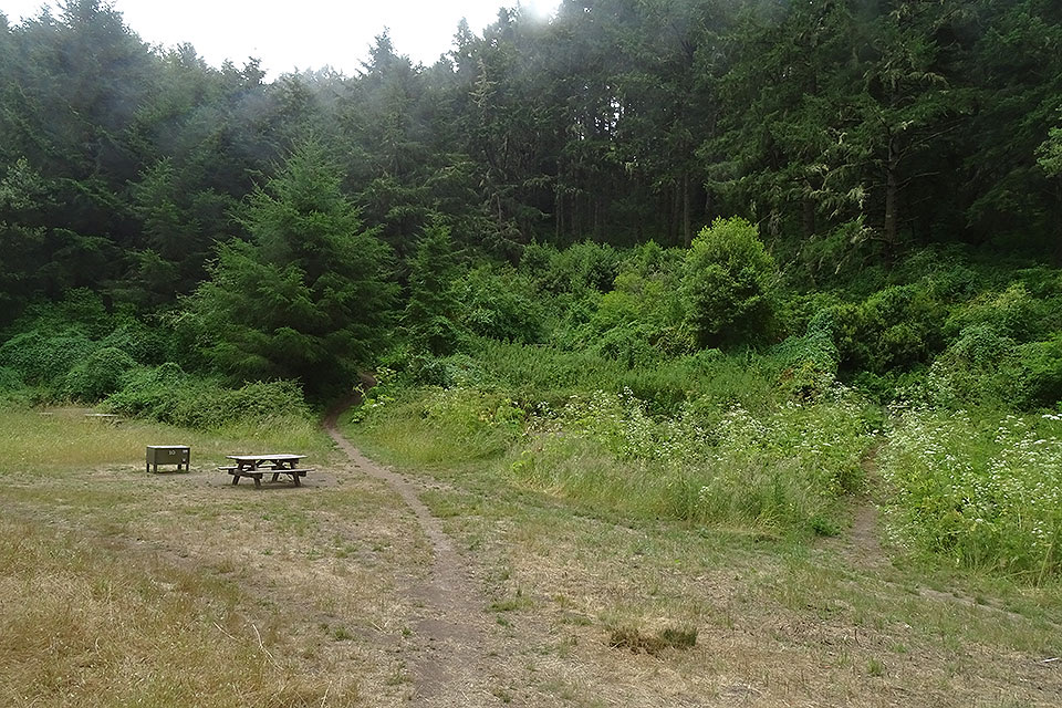 Campground · 3.4 mi awayGlen CampgroundQuiet wooded valley camp, 4.6 miles in, no ocean view
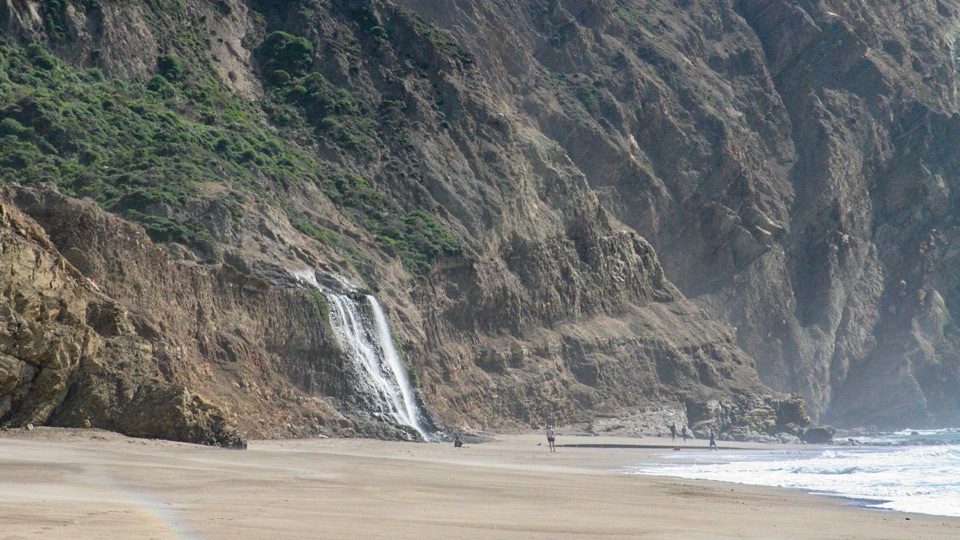 Beach · 3.4 mi awayWildcat BeachRemote 2.9-mile beach with Alamere Falls dropping onto the sand
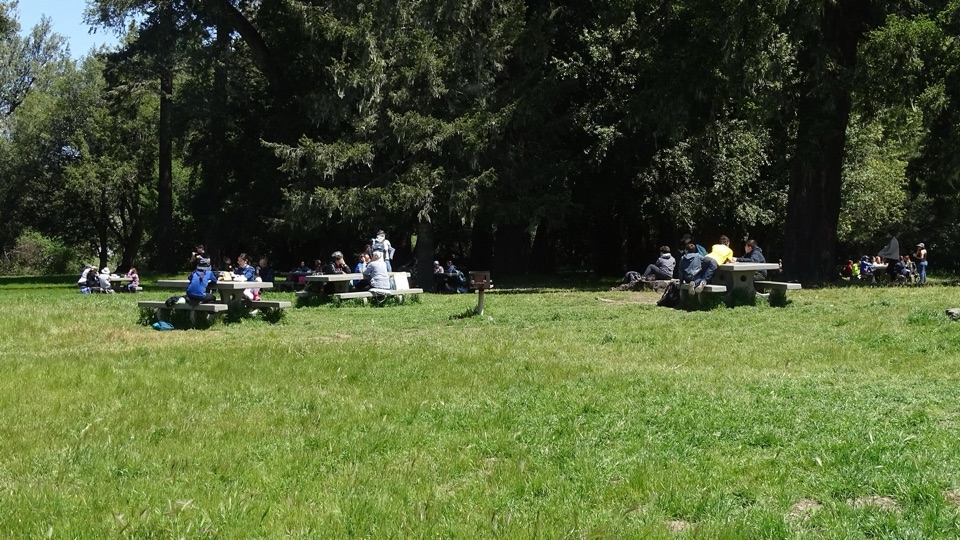 Picnic area · 6 mi awayBear Valley Picnic AreaTwenty-five shaded tables, charcoal grills, and room for big groups
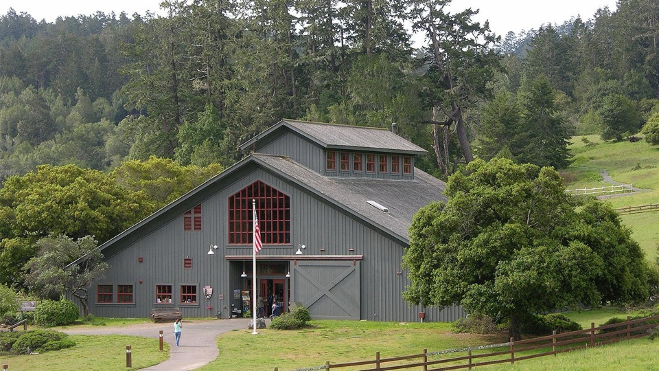 Visitor center · 6.1 mi awayBear Valley Visitor CenterBarn-style orientation hub where a life-size elephant seal greets you
 Sight · 6.1 mi awayMorgan Horse RanchWorking park horses and ranch history on a short hillside walk
Parkwolf’s Point Reyes ranking

The audio tour guide for the drive, plus offline maps, trails, and wildlife heatmaps for when the signal drops.





