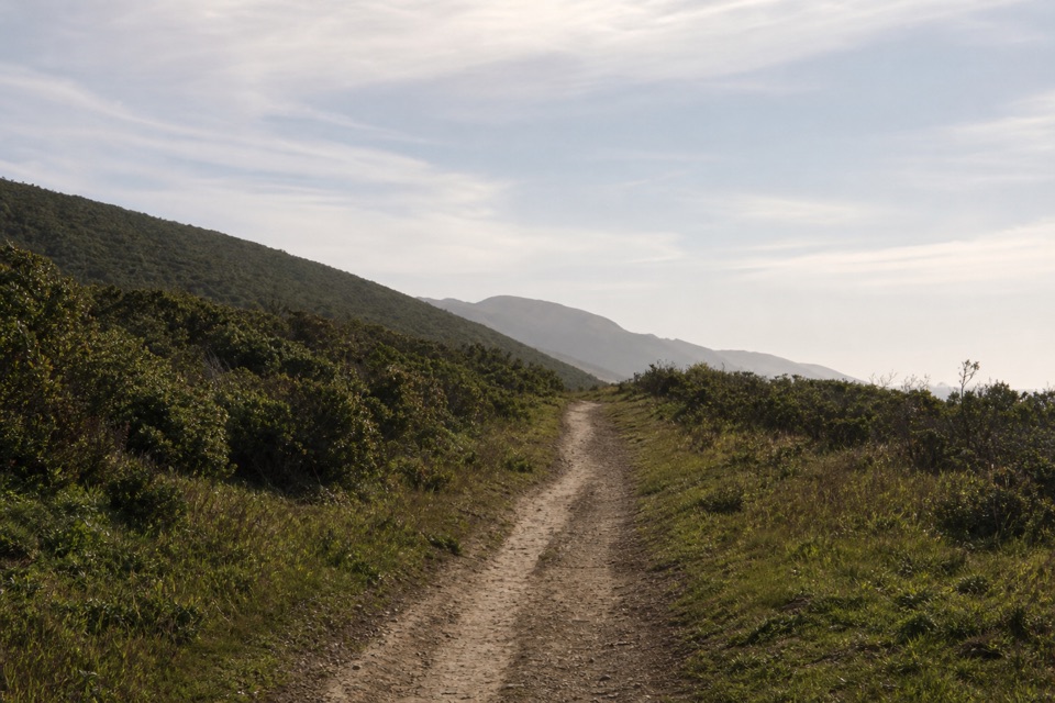
Parking
Use the Abbotts Lagoon Trailhead lot on the west side of Pierce Point Road. The dirt-and-gravel lot holds about 40 vehicles and has a vault restroom.

#4 of 65 trails in Point Reyes
Point Reyes National Seashore, CA
Three lagoons, a footbridge, and a sandy finish at Great Beach.
Overview
Map & elevation
Plan your hike

The highest, rockiest slopes around here are a summer buffet for grizzly bears.
Point Reyes Tour Guide
Parkwolf is a GPS audio tour guide for Point Reyes National Seashore. As you drive, it chimes in with what’s ahead: hidden gems, upcoming stops, history, geology, and wildlife, right through your car’s speakers.
Recorded for this trailhead
Abbotts Lagoon“Abbotts Lagoon Trailhead is coming up, with a mostly level walk past three lagoons that shift from fresh water inland to saltier water near the sea.”
Plays as you drive up to this trailhead in the Parkwolf Point Reyes Tour Guide.
More stories near here in the app
“Fantastic app with many points of information… It’s great to just turn on while you’re driving and it gives you an audio tour of the national Park. We love it!!!!”


Trail guide
Abbotts Lagoon Trail is an easy 2.8-mile out-and-back from Pierce Point Road to Point Reyes Beach, also called Great Beach. It starts across pasture and coastal scrub, follows the south edge of the middle lagoon to a footbridge, then continues about half a mile through dunes to the ocean. You return the same way. Allow one to one and a half hours, longer if you stop for birds or walk the beach. The footbridge is a useful shorter turnaround; that walk is 1.8 miles round trip. If you want lagoon views without the soft sand, turn around there.
The first quarter-mile is gently graded on a soil-cemented surface, with an overlook above the water. After that, the route narrows to a packed dirt path, usually only a few feet wide; rain and foot traffic can leave ruts. The view changes as you reach the middle lagoon. Abbotts is actually a chain of three coastal lagoons: the upper one is the smallest and freshest, while the lower lagoon is the largest and saltiest. At about 0.9 mile, a footbridge crosses the stream between the middle and lower lagoons.
The early overlook is the best place to frame the lagoon and dunes together. Keep some water, the marsh edge, and the dune ridge in the picture; from the cliff top the ocean sits beyond the lagoon. Fall and winter are the stronger birding seasons, and spring brings wildflowers.
Beyond the bridge, the walk enters Phillip Burton Wilderness. The trail is unmaintained and sandy, following the north edge of the lower lagoon through fragile dunes before reaching the beach. This short section changes the character of the hike: the sand is slower underfoot, the route is less obvious, and it is easy to lose sight of the inland path while exploring the shore. Take note of the landmarks where you reach the beach so you can find the return route. Stay on the path to avoid trampling dune vegetation.
The ocean is the reward, but the surf deserves space. Point Reyes beaches are known for sneaker waves and strong water. The sandy stretch is the main reason to choose the footbridge turnaround if you want a shorter, easier outing.
Use the Abbotts Lagoon Trailhead lot on the west side of Pierce Point Road. It is dirt and gravel, with space for about 40 vehicles and a vault restroom; two designated parking spaces and an accessible restroom are listed. The sand beyond the bridge is likely impassable without a beach-specific wheelchair. Dogs and other pets are prohibited. Bicycles are allowed only as far as the footbridge, and e-bikes are not allowed on this trail.
Wildlife
 2,552 sightingsNorthern Elephant SealMost seen around 11 AMSighting map
 127 sightingsGrey WhaleMost seen around noonSighting map
 109 sightingsHumpback WhaleMost seen around 10 AMSighting map
 29 sightingsSteller Sea LionMost seen around noonSighting map
 203 sightingsCalifornia Sea LionMost seen around noonSighting map
 352 sightingsHarbor SealMost seen around 7 AMSighting map
Sighting maps show where each species has been reported across Point Reyes. Wildlife moves, so no sighting is guaranteed.
Keep exploring
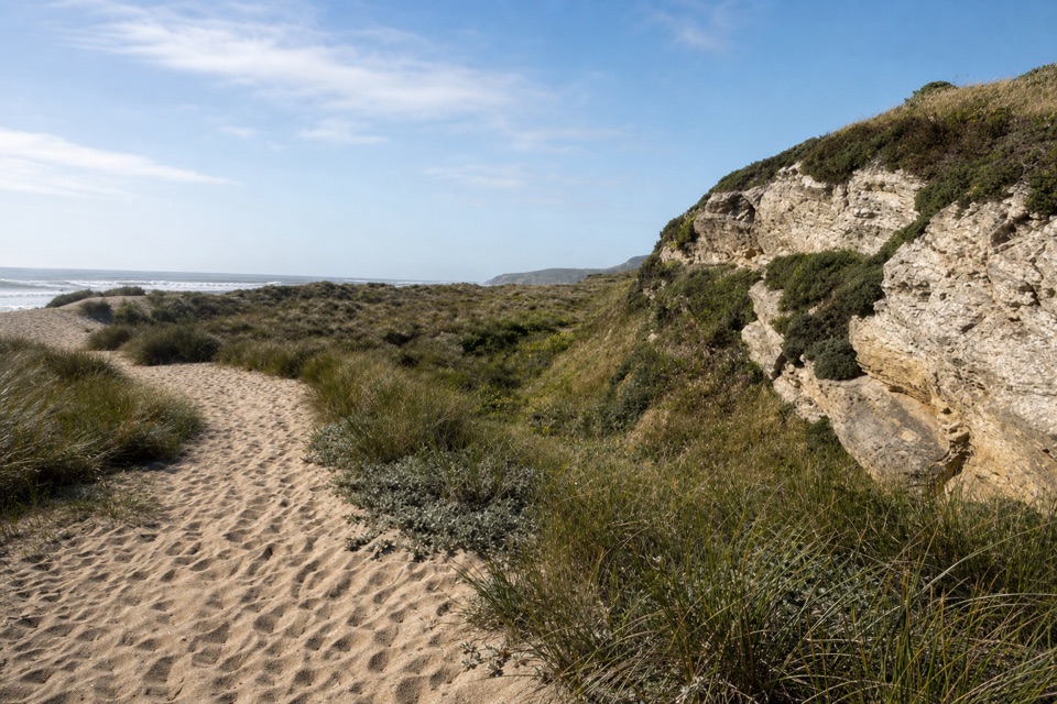 EasyKehoe Beach Trail1.2 mi · 1 hr · 2 mi awayA short dune crossing leads to a wild, surf-washed beach.
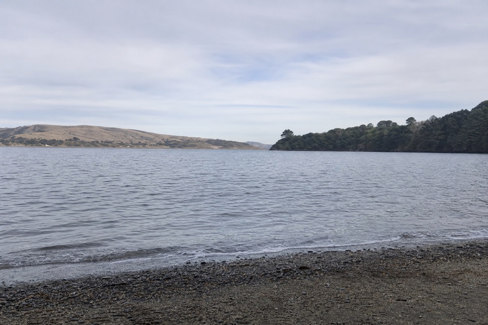 ModerateMarshall Beach Trail2.4 mi · 1.5 hr · 2.3 mi awayA ranch road drops through pasture to a small Tomales Bay cove.
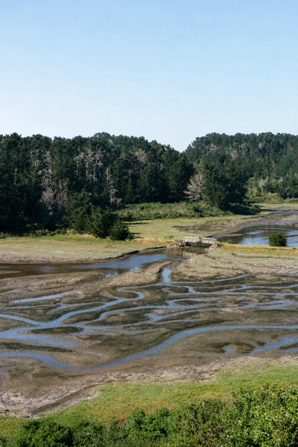 EasyEstero Trail to Home Bay2.4 mi · 1.3 hr · 3.1 mi awayA short grassland walk ends at a footbridge over Home Bay.
 ModerateDrakes Head via Estero Trail8.8 mi · 5 hr · 3.1 mi awayLong pasture miles end at a bluff above Drakes Estero.
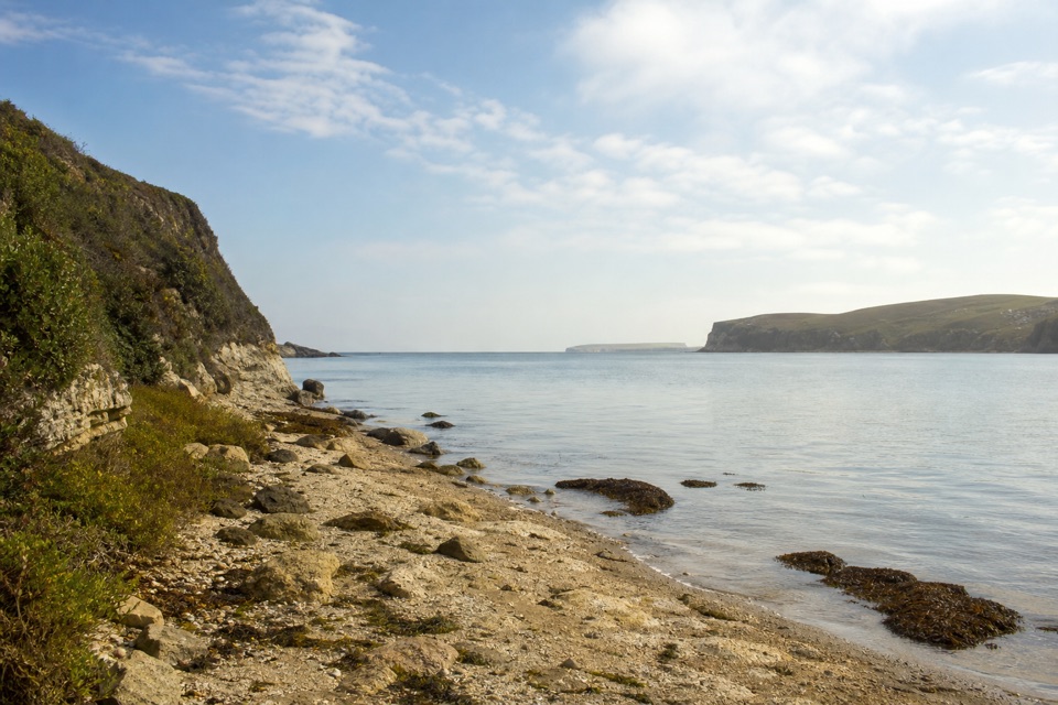 ModerateSunset Beach via Estero Trail7.8 mi · 4 hr · 3.1 mi awayEstuary views and working pasture lead to a rocky wetland shore.
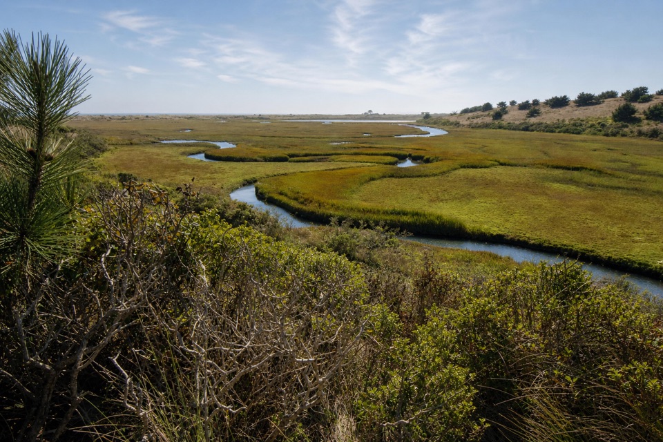 ModerateEstero–White Gate Loop11.4 mi · 5.5 hr · 3.1 mi awayTwo estuaries, marsh ponds, and a four-mile retrace.
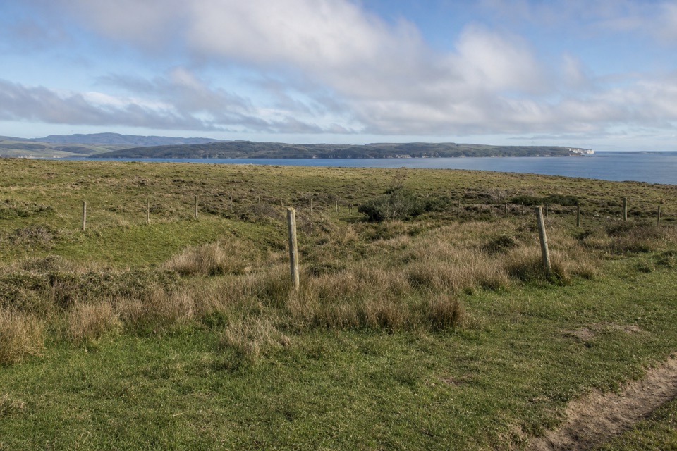 EasyBull Point Trail3.6 mi · 2 hr · 3.2 mi awayA level pasture walk to the grassy edge of Drakes Estero
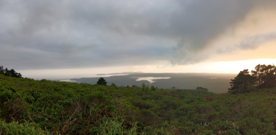 ChallengingBucklin–Muddy Hollow Road–Drakes View–Inverness Ridge Loop7.7 mi · 5 hr · 4.5 mi awayA strenuous ridge loop with wide Drakes Bay views.
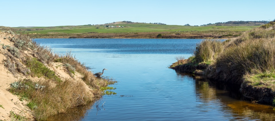 Sight · 0.8 mi awayAbbotts LagoonFlat walk past coastal lagoons and dunes to a wild ocean beach
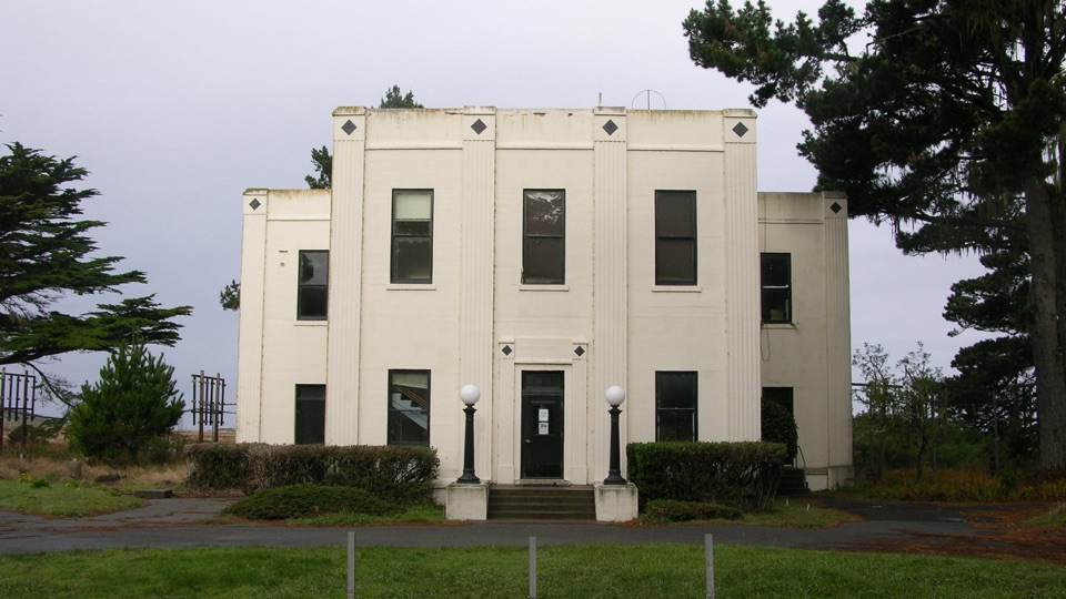 Sight · 2 mi awayHistoric KPH Maritime Radio Receiving StationRestored Morse code station at the end of a cypress tunnel
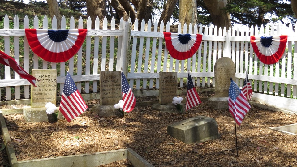 Sight · 2.1 mi awayHistoric Life-Saving Service CemeteryFour surfmen's graves behind a white picket fence in eucalyptus
 Sight · 2.1 mi awayCypress Tree TunnelQuarter mile of 1930s Monterey cypress arched into a green tunnel
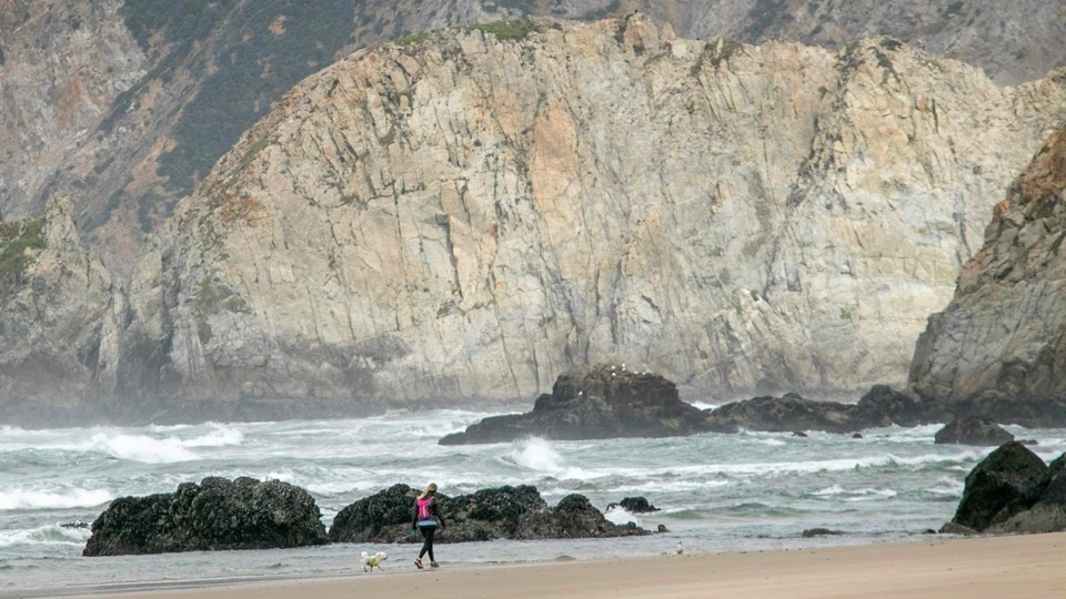 Beach · 2.3 mi awayKehoe BeachShort dune walk to a wide, wind-scoured surf beach
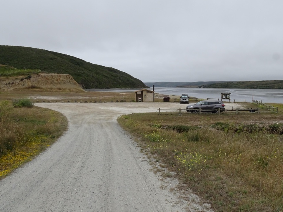 Sight · 2.8 mi awayDrakes Estero Kayak LaunchPaddle into a hushed marine wilderness of seals, rays and birds
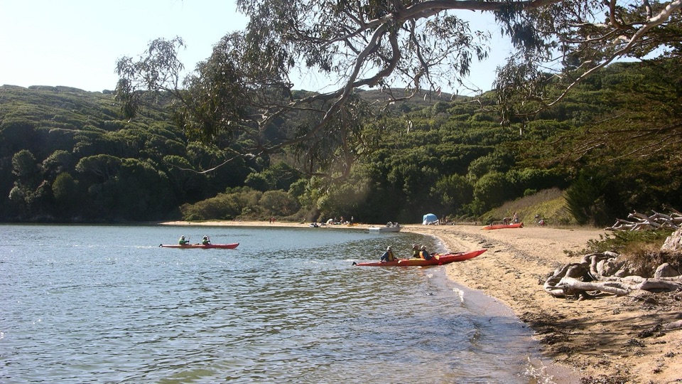 Beach · 2.9 mi awayMarshall Beach400-foot Tomales Bay strand most visitors reach by small watercraft
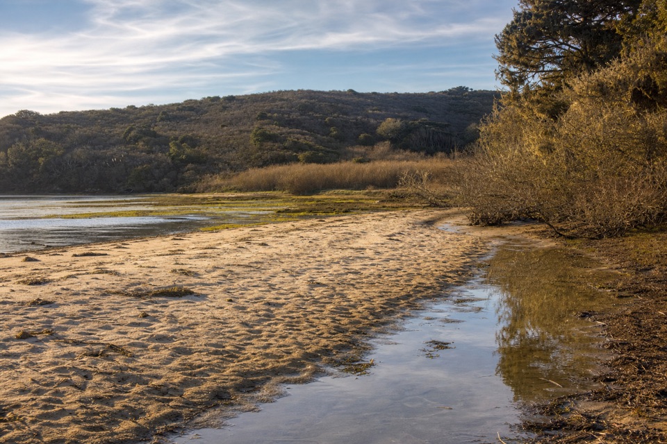 Beach · 3.5 mi awayTomales BeachKayak-in camp beach with vault toilets, so no wag bag needed
Parkwolf’s Point Reyes ranking

The audio tour guide for the drive, plus offline maps, trails, and wildlife heatmaps for when the signal drops.