Pros & cons
PROS
- Quick, easy walk to a striking historic engineering site
- Great vantage over the gorge to watch rafters and jetboats
CONS
- No toilets and limited roadside parking
- A very short stop rather than a half‑day outing
Overview
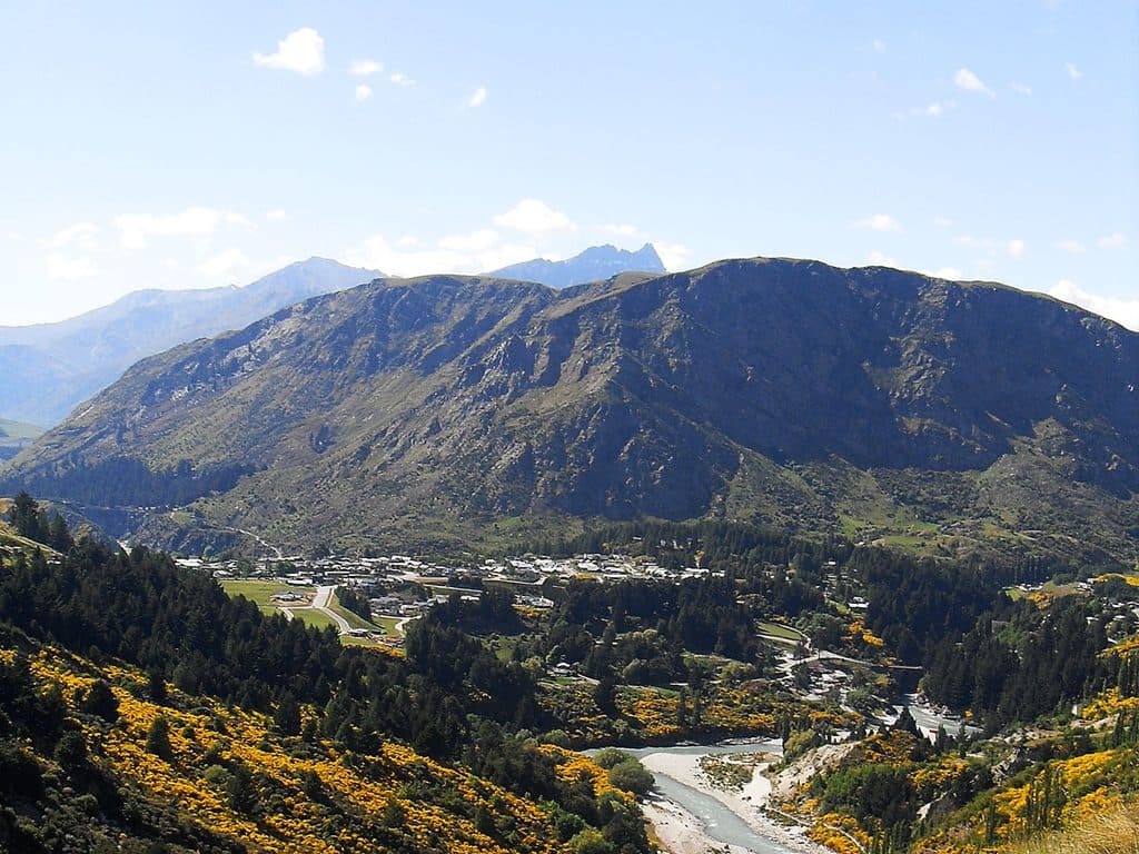
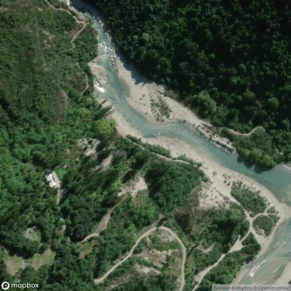
A short wander at Arthurs Point leads to viewpoints of the Oxenbridge Tunnel, a gold‑era river‑diversion punched into the Shotover Gorge. It’s a bite‑size heritage stop with big scenery: schist cliffs, fast water, and—if your timing’s right—rafts shooting through the tunnel beneath you.
Why it matters
Built in the early 1900s to divert flow off the turbulent rapids so miners could work the exposed riverbed, the tunnel is about 170 m long and large enough to carry floods. Despite the ambition, the venture under‑delivered on gold and folded; the tunnel remains as a monument to the region’s hard‑won engineering.
What you’ll see
- Fenced viewpoints over the diversion and gorge, with the tunnel mouth and remnants of mining activity visible nearby.
- Commercial rafting and kayaking trips often run the tunnel; jetboats roar past on the main river—fun to watch from a safe perch.
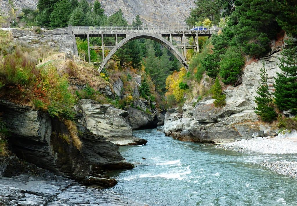
- The handsome one‑lane Edith Cavell Bridge sits just upstream, making an easy add‑on photo stop.
Getting there & the walk
From Queenstown, head to Arthurs Point. Just before the one‑lane Edith Cavell Bridge, turn left toward the riverside area to pick up the signed Oxenbridge Tunnel Track. The path is short and easy—think 30–60 minutes return at a meander—on dirt/gravel with a few uneven sections. Dogs are not allowed.
Safety basics
Stay behind railings at the cliff‑edge viewpoints; the gorge is steep and the Shotover runs cold and swift year‑round. Obey DOC signage and do not attempt to enter the tunnel. Be aware of passing jetboats and rafters below.
Wildlife
Along the wider Shotover valley, the braided river flats host seasonal birdlife like banded dotterel, black‑fronted terns, South Island pied oystercatchers, and the endemic (and at‑risk) black‑billed gull. Give any nesting birds wide berth and keep off gravel bars during breeding season.
Best time to visit
Come on weekdays or early mornings for quieter viewpoints and softer light on the gorge walls. Avoid or postpone after heavy rain when tracks can be slick and river levels high. If you want action shots of rafts shooting the tunnel, mid‑morning to afternoon is your best bet when commercial trips are typically running.

Where it is
-44.9837, 168.6671Tips for Oxenbridge Tunnel, Shotover River
- 01Arrive early; the small gravel parking area fills quickly.
- 02Combine this with a quick photo stop at the Edith Cavell Bridge.
- 03Stay behind fences and never attempt to enter the tunnel.
- 04Bring insect repellent—sandflies can be lively by the river.
Amenities
Near Oxenbridge Tunnel, Shotover River
All places →All trails →
0.2 mi awayMoonlight TrackBackcountry traverse with gold-rush relics and big Shotover viewsChallenging · 11.2 mi · 5 hr
0.4 mi awayEdith Cavell BridgeHistoric one-lane arch with turquoise canyon views and jet boatsParking · Scenic Viewpoint
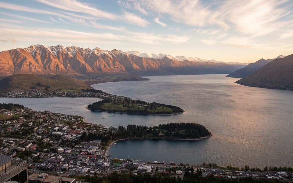
2.1 mi awayQueenstown HillShort, steep climb to Queenstown’s classic lake-and-peak panoramaTrailhead · Parking
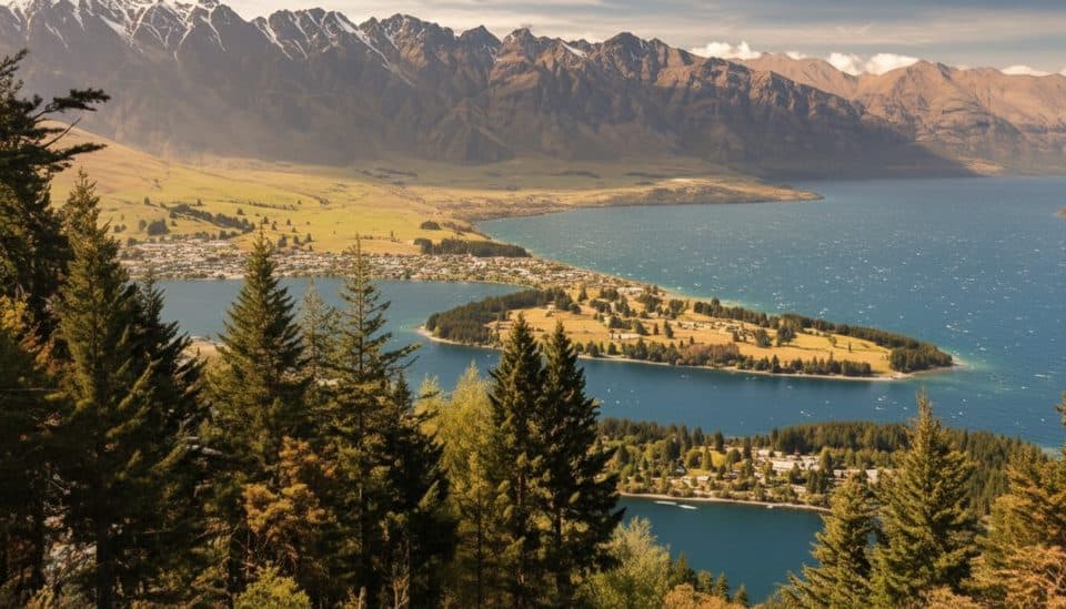
2.3 mi awayBen Lomond SaddleWindy alpine saddle with huge Wakatipu views and a toiletScenic Viewpoint · Restroom
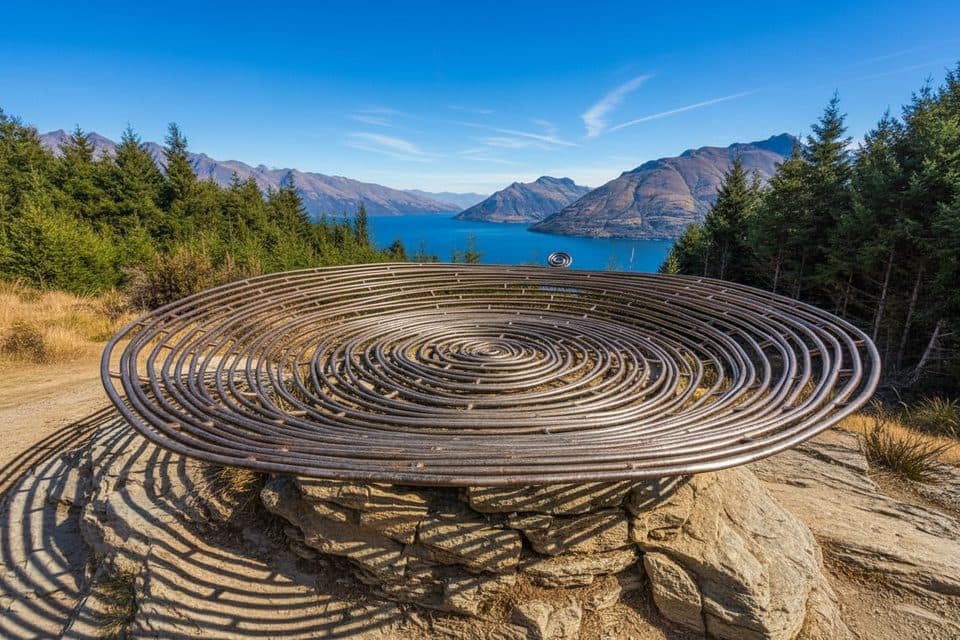
2.8 mi awayBasket of DreamsHilltop sculpture with knockout views over Lake WakatipuScenic Viewpoint · Exhibit
3 mi awayQueenstown Hill Time WalkShort, steady climb to Queenstown’s best skyline and lake viewsModerate · 3.1 mi · 2.5 hr
3.1 mi awayTiki TrailShort, steep climb to Skyline’s knockout Queenstown and Wakatipu views.Moderate · 2.6 mi · 2 hr
3.4 mi awayQueenstown Gardens Lakefront LoopEasy lakeside loop through Queenstown’s gardens with constant viewsEasy · 1.2 mi · 30 min