Parking
Park at Jardine Park at the end of Poplar Drive, or at the southern Jacks Point end near the Lodge Road/Homestead Bay Road intersection; parking is available at each end.

Queenstown-Lakes District, New Zealand, OT
Exposed lakeside gravel track with big Lake Wakatipu and Remarkables views
Overview
Jacks Point Track is a shared gravel trail between Jardine Park in Kelvin Heights and the southern Jacks Point end near Lodge Road and Homestead Bay Road. The route runs along the Lake Wakatipu shore with views toward the Remarkables, Kingston, and the Eyre Mountains. The official trail length is 6.3 km one way (about 3.9 miles); walking the stored out-and-back experience is about 12.6 km (7.8 miles) and generally takes 4–6 hours, depending on pace, stops, wind, and whether you arrange transport.
Map & elevation
Plan your hike

The highest, rockiest slopes around here are a summer buffet for grizzly bears.
Queenstown-Lakes District Tour Guide
Parkwolf is a GPS audio tour guide for Queenstown-Lakes District, New Zealand. As you drive, it chimes in with what’s ahead: hidden gems, upcoming stops, history, geology, and wildlife, right through your car’s speakers.
See the Queenstown-Lakes District audio tourRecorded for this trailhead
Jardine Park's Popular Lakeside Trail“The area you're passing now contains Jardine Park, which is the start of a much-loved lakeside track for walking and cycling.”
Plays as you drive up to this trailhead in the Parkwolf Queenstown-Lakes District Tour Guide.
More stories near here in the app
“Fantastic app with many points of information… It’s great to just turn on while you’re driving and it gives you an audio tour of the national Park. We love it!!!!”


Trail guide
Start at Jardine Park at the end of Poplar Drive, follow the continuous shared-use gravel track to the southern Jacks Point end, and return on the same corridor unless using transport. The trail undulates with steep climbs and descents, tight bends, narrow sections, and occasional loose or rocky surfaces. The route is shared with cyclists; give way, keep children close near exposed edges, and stay on the signed trail.
Parking is available at Jardine Park and at the Jacks Point end near the Lodge Road/Homestead Bay Road intersection. Carry water, sunscreen, and warm, windproof layers; the track is exposed to strong southerly and westerly winds and has limited shade. Keep dogs under control and follow local signs. In winter, expect cold, ice, or wet or soft gravel.
Wildlife
 189 sightingsKeaMost seen around 5 PMSighting map
 18 sightingsKākāMost seen around 6 PMSighting map
 195 sightingsKererūMost seen around 10 AMSighting map
 48 sightingsWekaMost seen around 6 PMSighting map
 239 sightingsTūīMost seen around 8 AMSighting map
 97 sightingsBellbirdMost seen around 6 AMSighting map
Sighting maps show where each species has been reported across Queenstown-Lakes District. Wildlife moves, so no sighting is guaranteed.
Keep exploring
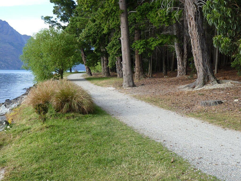 EasyQueenstown Gardens Lakefront Loop2 km · 30 min · 2.9 km awayEasy lakeside loop through Queenstown’s gardens with constant views
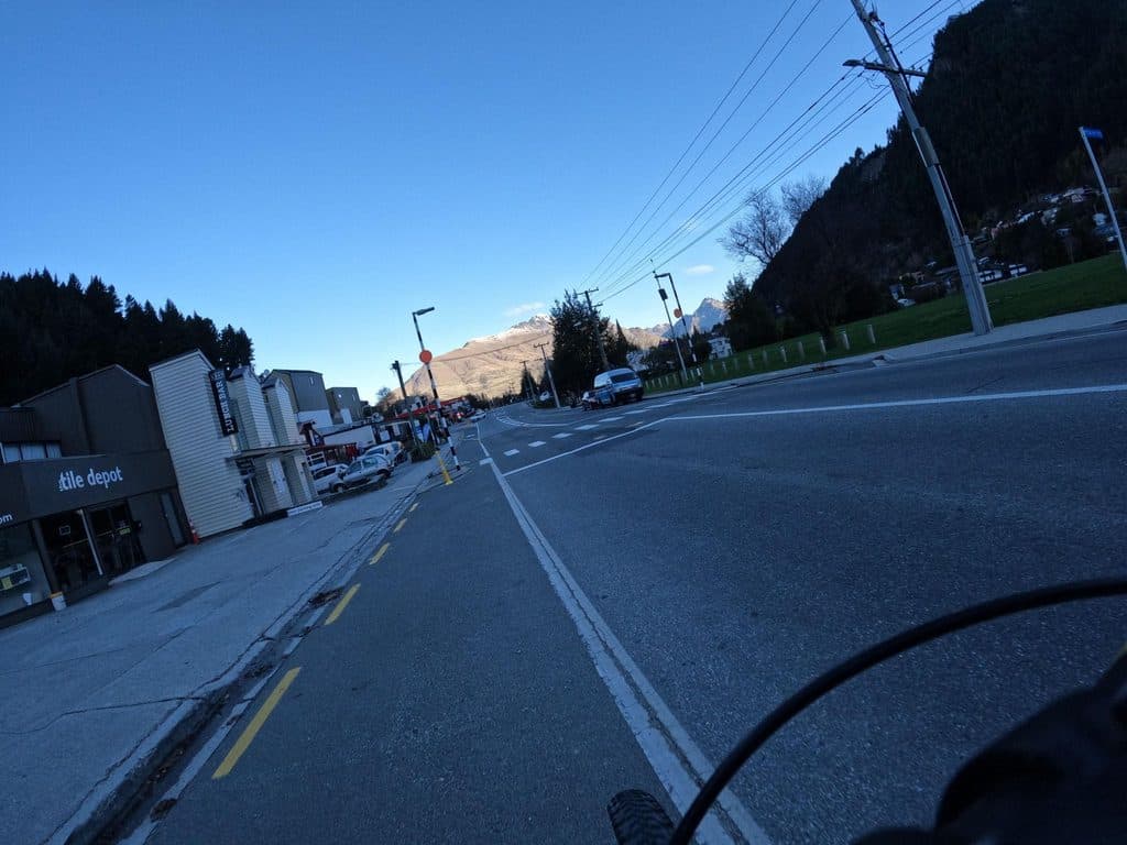 ModerateQueenstown Hill Time Walk5.5 km · 2.5 hr · 2.9 km awayA sustained 5.4 km return climb to Queenstown Hill views and the Basket of Dreams
 ModerateTiki Trail4.2 km · 2 hr · 3.5 km awayShort, steep climb to Skyline’s knockout Queenstown and Wakatipu views.ChallengingFernhill Loop Track7.6 km · 3 hr · 4.4 km awaySteep loop with big Wakatipu views and a quiet, close-to-town feelChallengingBen Lomond Track10.9 km · 6 hr · 4.5 km awayA demanding alpine climb from Skyline to a 1,748 m summit with huge Queenstown views
 ModerateMoonlight Track14 km · 4.5 hr · 7.3 km awayHistoric one-way traverse from Arthur's Point to Moke Lake
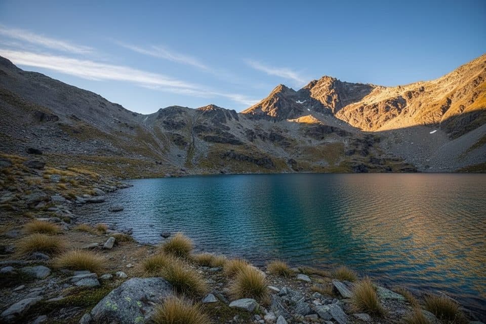 ModerateLake Alta Track3.4 km · 1.5 hr · 9.4 km awayA short, demanding climb from the Remarkables ski field to a high glacial lake.
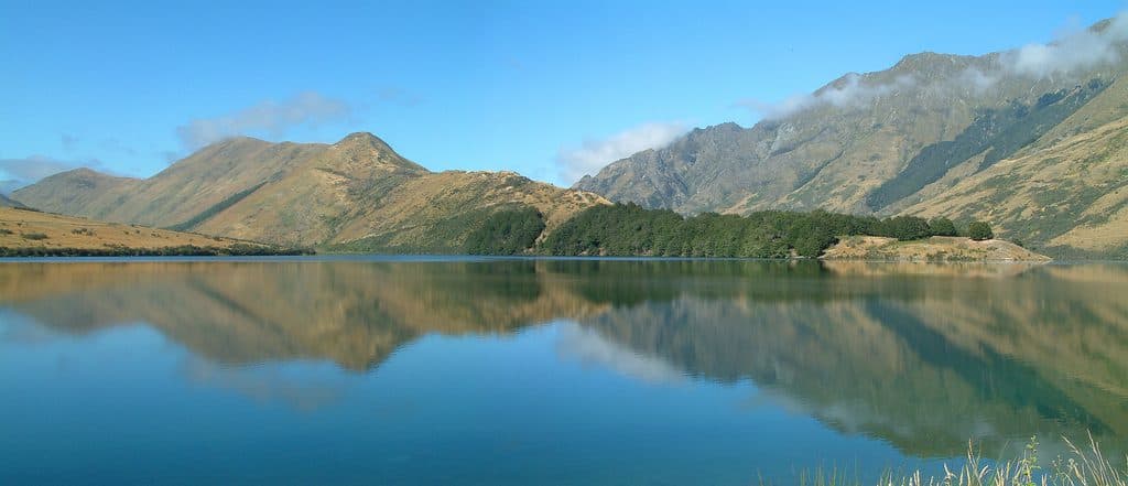 EasyMoke Lake Loop6.3 km · 2.5 hr · 10.7 km awayUndulating loop around an alpine lake near Queenstown
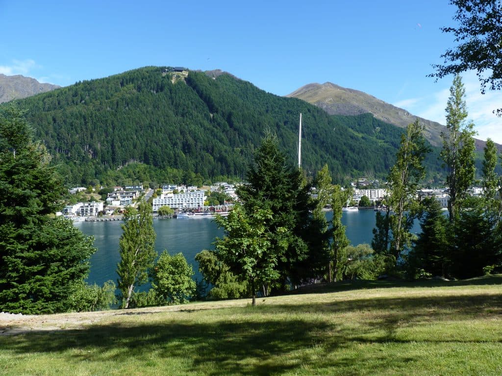 Sight · 2.8 km awayQueenstown GardensLakeside botanical oasis with views and a free disc golf course
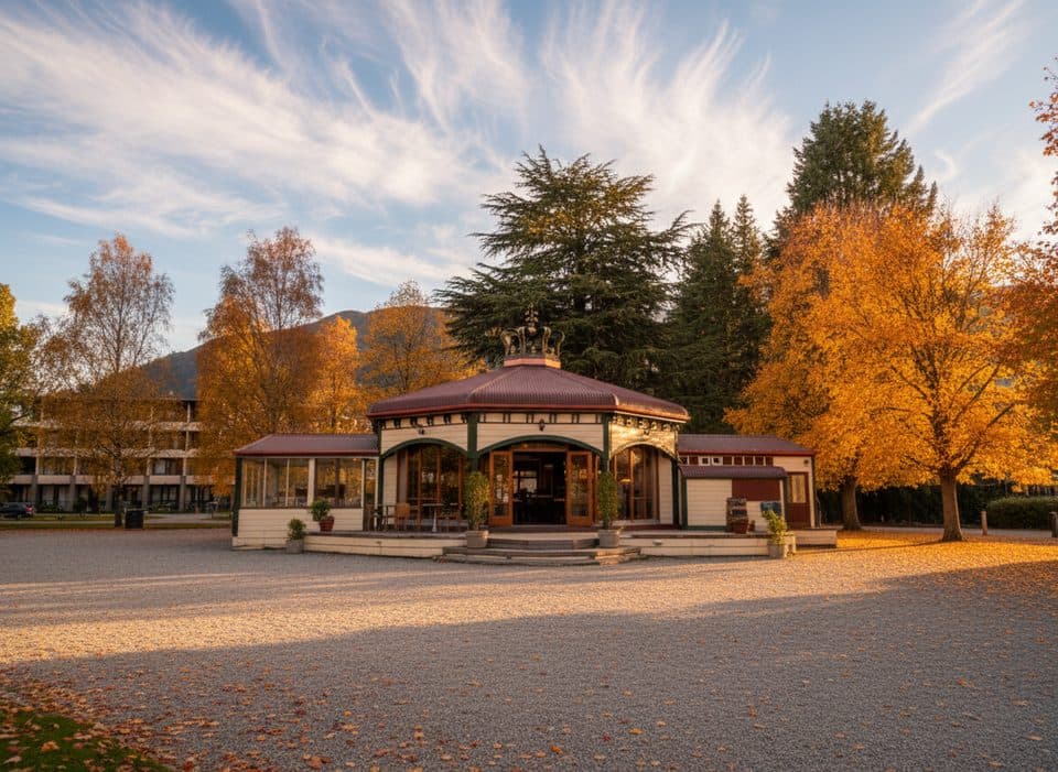 Restaurant · 2.8 km awayBath House, Queenstown BayHeritage lakefront cafe with knockout Lake Wakatipu views
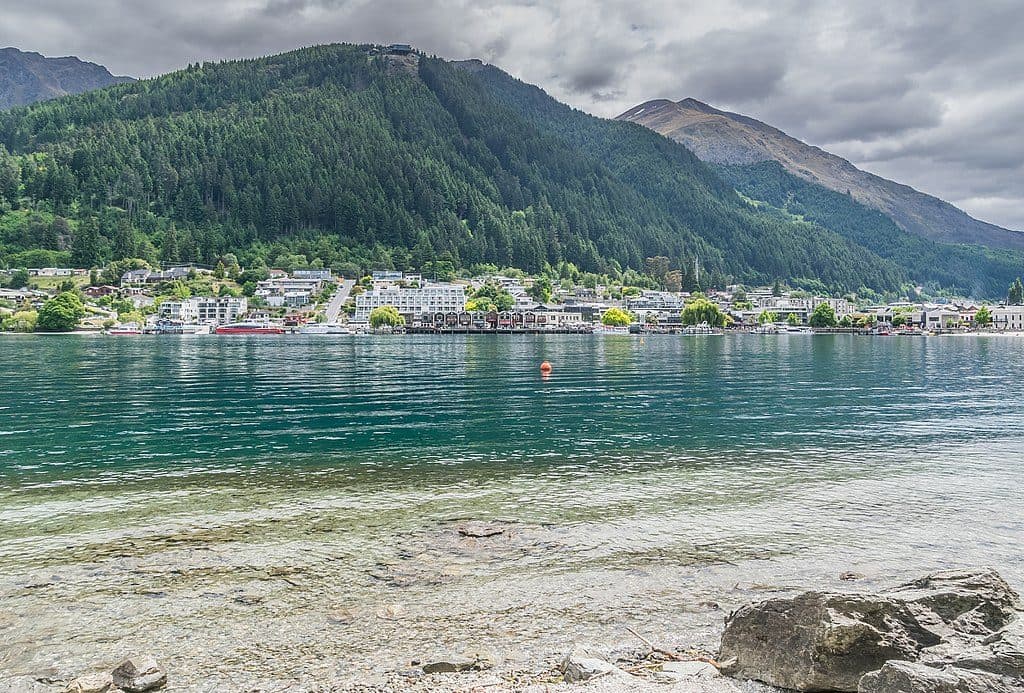 Beach · 2.8 km awayQueenstown Bay BeachCentral lakefront beach with big Remarkables views
 Sight · 2.9 km awayWilliams CottageQueenstown’s oldest house with exhibits, art and a coffee stall
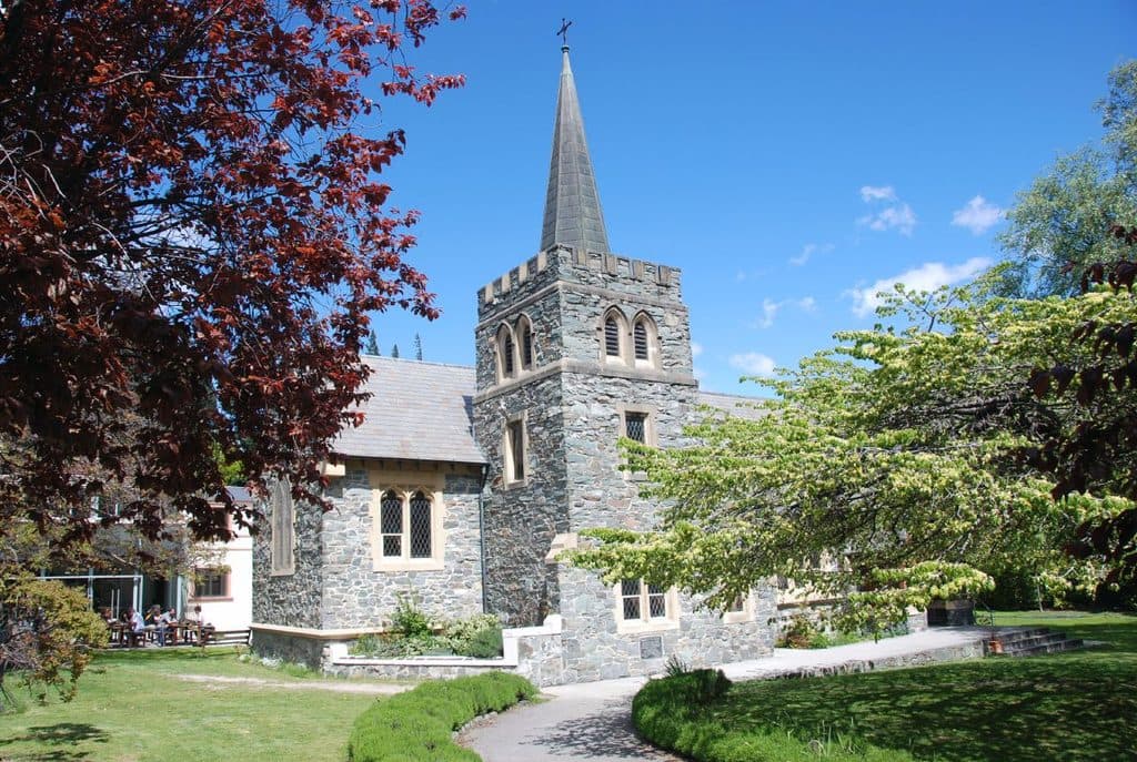 Sight · 2.9 km awaySt Peter's Anglican Church, QueenstownQuiet stone church with Gothic charm in the town center
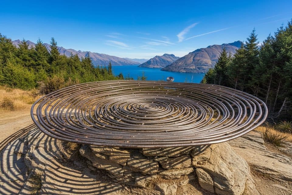 Sight · 2.9 km awayBasket of DreamsHilltop sculpture with knockout views over Lake Wakatipu
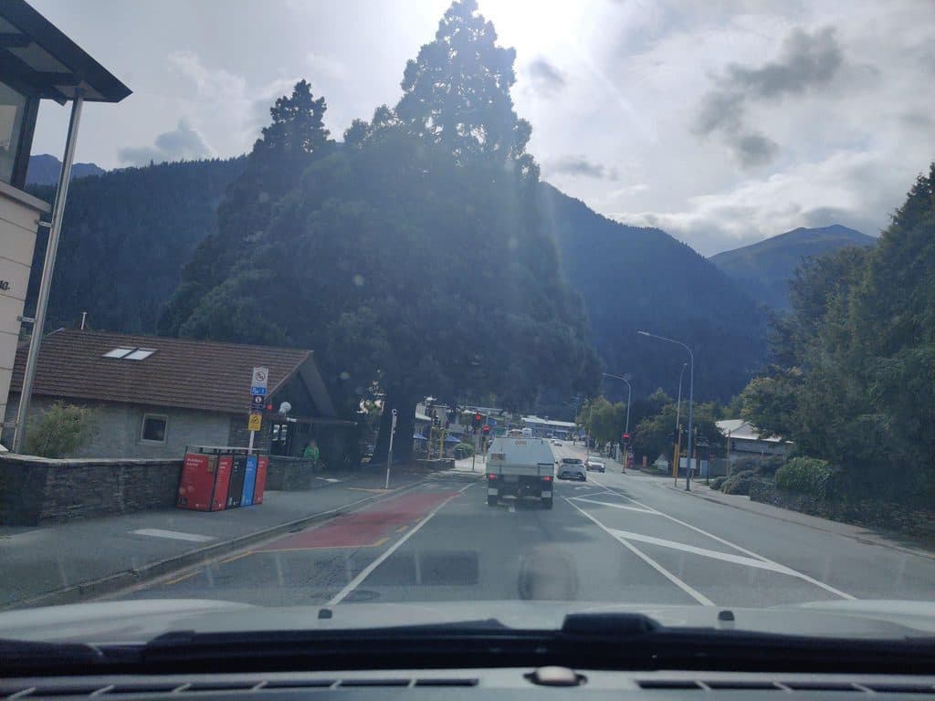 Sight · 2.9 km awayQueenstown CourthouseWorking district court in Queenstown, not a tourist stop
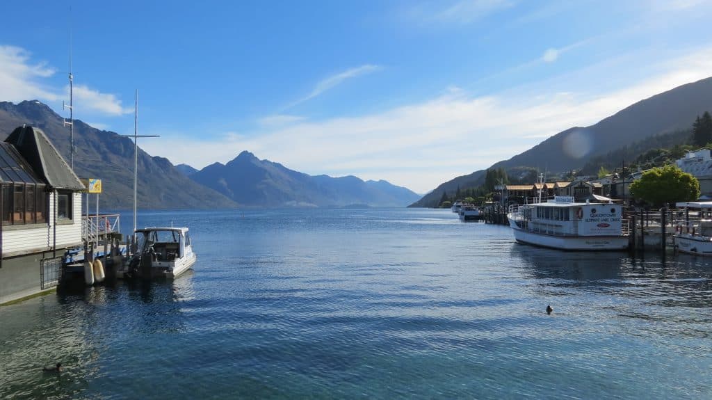 Sight · 2.9 km awayMarine ParadeQueenstown’s lakefront promenade with big views and easy access to fun
Parkwolf’s Queenstown-Lakes District ranking

The audio tour guide for the drive, plus offline maps, trails, and wildlife heatmaps for when the signal drops.