Parking
Access the track from Coronet Peak Road via the Morning Glory MTB connector, or use Arrowtown parking and climb/descend the Bush Creek Track to link with the Water Race.
Queenstown-Lakes District, New Zealand, OT
Historic traverse with huge Wakatipu views and a few spicy edges
Overview
A 6 km one‑way, dual‑use singletrack cut into the face of Coronet Peak, this historic water‑race traverse serves up constant views over the Whakatipu Basin. It’s graded around easy/intermediate (roughly Grade 2–3), but don’t underestimate it: the bench is narrow in places with exposure on the outer edge, tight corners, and a handful of small stream crossings. Plan around 45–120 minutes one way depending on direction and stops. Length is 6 km (one way), not including any connectors you use to get to or from the track.
If you like historic trails with real exposure and big views, this is a gem and a classy link toward Arrowtown. If you’re uncomfortable with heights or managing speed on narrow, off‑camber corners, it can feel committing. For a much bigger mission, the 50 km Coronet Loop (mostly Grade 3, 4–8 hours by bike) uses the Water Race as a section and dives deeper into backcountry scenery and mining relics.
 Parkwolf’s verdictWho will love it (and who won’t)
Map & elevation
Plan your hike

The highest, rockiest slopes around here are a summer buffet for grizzly bears.
Queenstown-Lakes District Tour Guide
Parkwolf is a GPS audio tour guide for Queenstown-Lakes District, New Zealand. As you drive, it chimes in with what’s ahead: hidden gems, upcoming stops, history, geology, and wildlife, right through your car’s speakers.
See the Queenstown-Lakes District audio tourRecorded for this trailhead
Exploring Historic Arrowtown and the Gold Rush“You're pulling into historic Arrowtown. The main road, Buckingham Street, is a preserved gold-rush era street where the old timber and stone buildings now hold cafes and boutiques.”
Plays as you drive up to this trailhead in the Parkwolf Queenstown-Lakes District Tour Guide.
More stories near here in the app
“Fantastic app with many points of information… It’s great to just turn on while you’re driving and it gives you an audio tour of the national Park. We love it!!!!”


Trail guide
Most riders drop in from Coronet Peak Road via the Morning Glory MTB trail to meet the Water Race, turn left, and traverse to Bush Creek Saddle. From there, either continue down the Bush Creek Track to Arrowtown (still intermediate with a few steep pinches and tight corners) or retrace your line back along the Water Race to Coronet Peak Road. You can also climb up from Arrowtown via Bush Creek to the saddle and traverse out to Coronet Peak Road if you prefer to earn the views.
You’re literally riding a slice of gold‑rush history: the water race was built in the 1860s to carry water for sluicing at Arthur’s Point, and remnants of that era still pepper the hillsides. The trail threads tussock meadows, pockets of remnant beech forest, and beneath schist bluffs—classic Otago geology that explains the narrow, exposed bench and rocky corners. Views stretch across the Whakatipu Basin and surrounding ranges.
Expect variable surfaces—mud, rock, and roots—and those small creek crossings can run higher after heavy rain. The track is shared two‑way by walkers, runners, and riders. It narrows near Bush Creek Saddle and there are exposed corners where a cool head and controlled speed matter; walk sections if you’re unsure or riding with kids. Alpine weather can flip from heat to wind, cold, or even snow, and the track can suffer slips or flood damage after storms.
Wildlife
 189 sightingsKeaMost seen around 5 PMSighting map
 18 sightingsKākāMost seen around 6 PMSighting map
 195 sightingsKererūMost seen around 10 AMSighting map
 48 sightingsWekaMost seen around 6 PMSighting map
 239 sightingsTūīMost seen around 8 AMSighting map
 97 sightingsBellbirdMost seen around 6 AMSighting map
Sighting maps show where each species has been reported across Queenstown-Lakes District. Wildlife moves, so no sighting is guaranteed.
Keep exploring
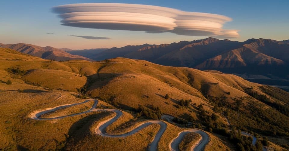
 ModerateMoonlight Track14 km · 4.5 hr · 6 km awayHistoric one-way traverse from Arthur's Point to Moke Lake
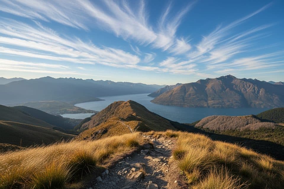
 EasyLake Hayes Walkway8 km · 2.5 hr · 7.6 km awayEasy 8 km lake loop with mountain views, a southern boardwalk, and autumn color.
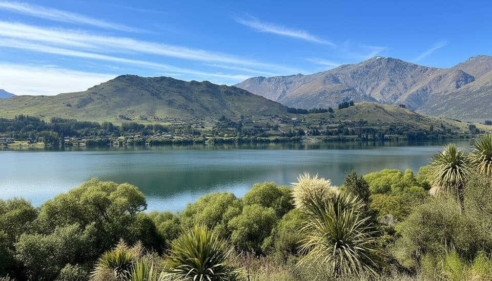
 ChallengingBig Hill Track15.1 km · 5.5 hr · 8.9 km awayHistoric gold-era bridle route from Arrowtown to Big Hill Saddle with broad Otago views
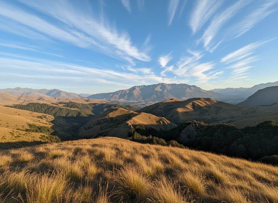
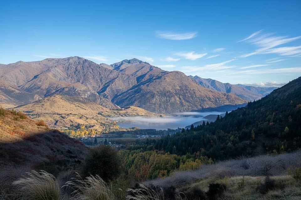 ModerateSawpit Gully Track7.9 km · 2.5 hr · 9 km awayGold mining history and big views on a punchy Arrowtown loop.
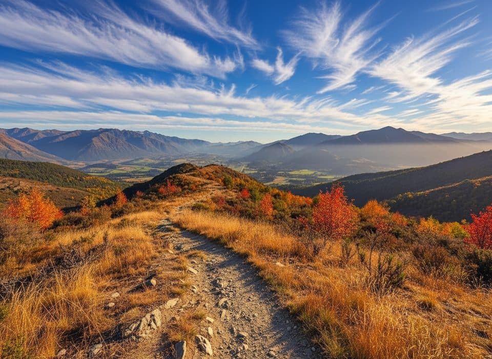 ModerateNew Chum Gully Track7.5 km · 3 hr · 9.8 km awayArrowtown loop over Tobins and New Chum Gully with exposed ridge views
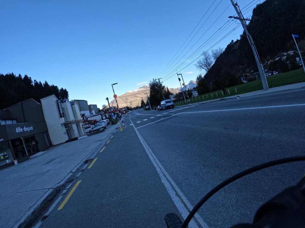 ModerateQueenstown Hill Time Walk5.5 km · 2.5 hr · 9.9 km awayA sustained 5.4 km return climb to Queenstown Hill views and the Basket of Dreams
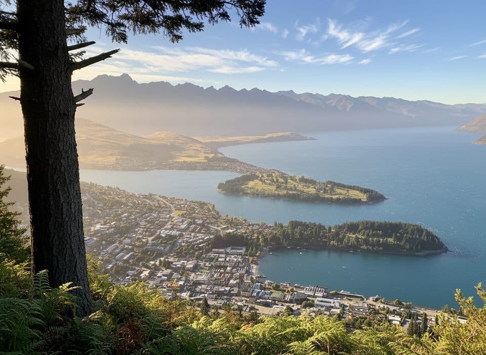 ModerateTiki Trail4.2 km · 2 hr · 10.4 km awayShort, steep climb to Skyline’s knockout Queenstown and Wakatipu views.ChallengingBen Lomond Track10.9 km · 6 hr · 10.6 km awayA demanding alpine climb from Skyline to a 1,748 m summit with huge Queenstown views
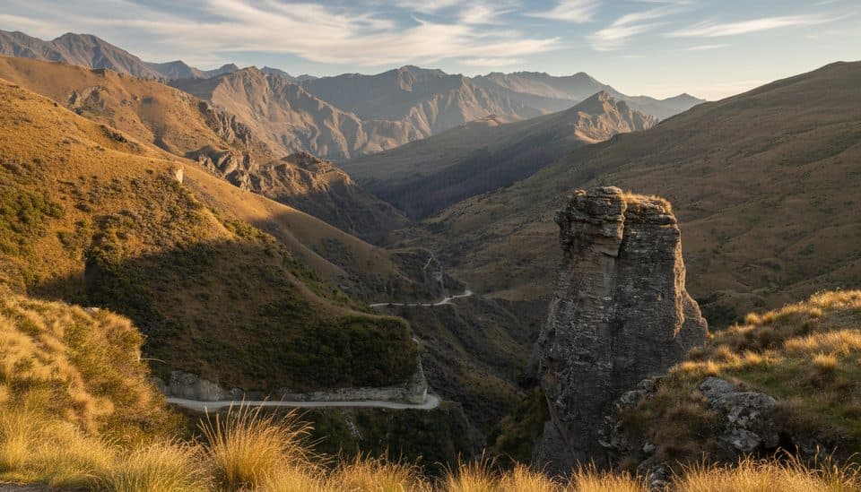 Scenic pullout · 0.5 km awaySkippers Canyon LookoutHair-raising roadside perch above the Shotover River gorge
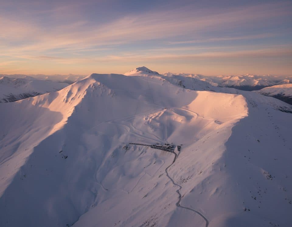 Sight · 2.5 km awayCoronet Peak Ski AreaQueenstown’s closest ski field with night skiing and big views
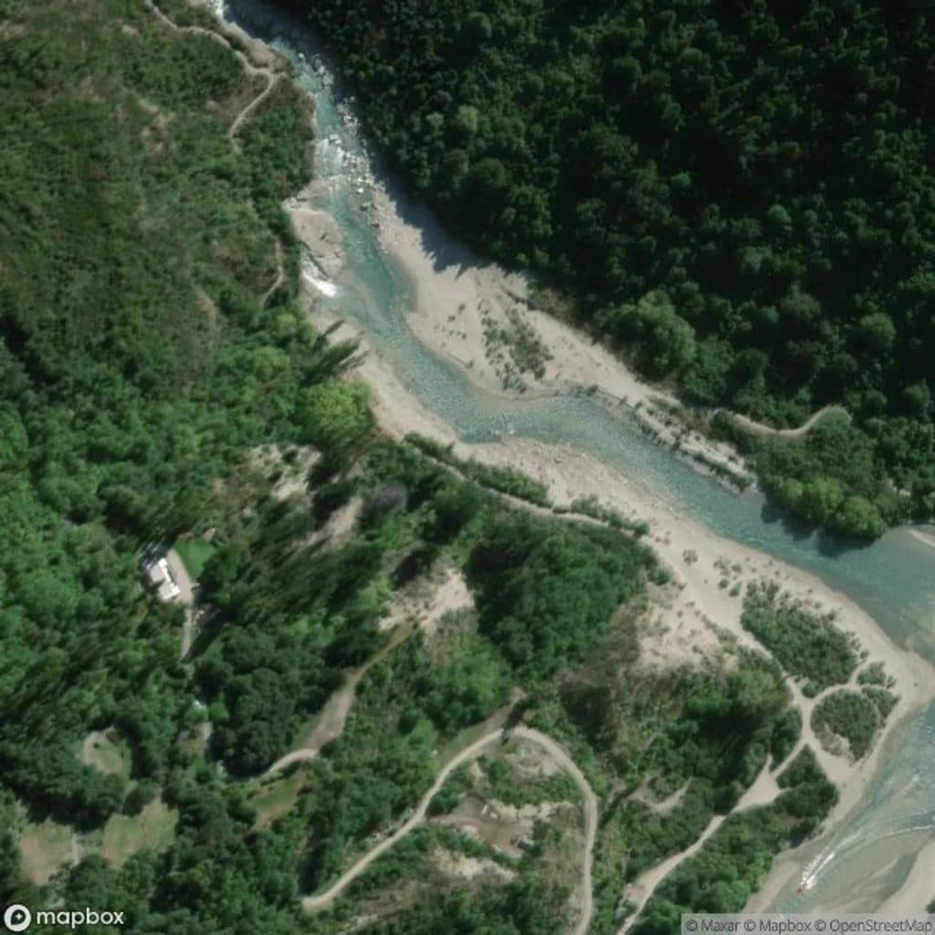 Sight · 5.8 km awayOxenbridge Tunnel, Shotover RiverShort walk to a historic river‑diversion tunnel in a dramatic gorge
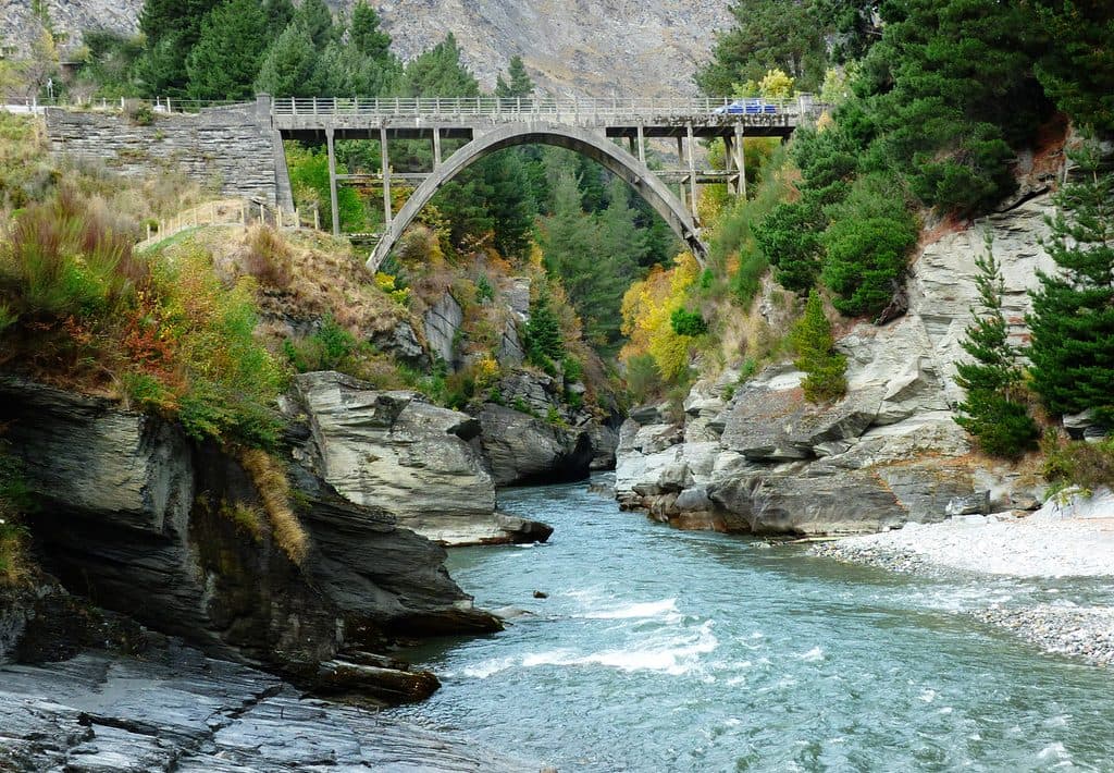 Sight · 5.9 km awayEdith Cavell BridgeHistoric one-lane arch with turquoise canyon views and jet boats
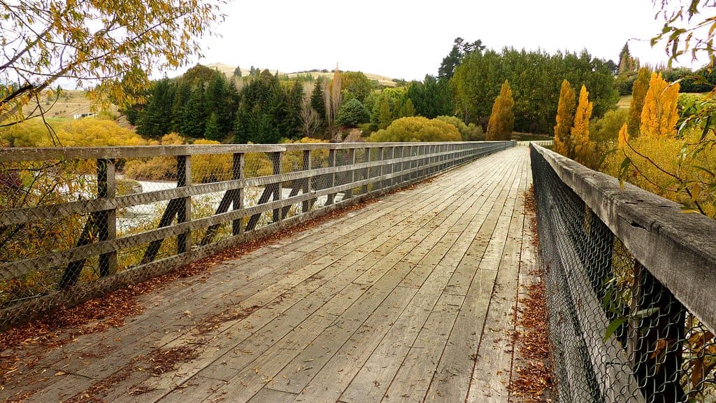 Sight · 6.6 km awayLower Shotover BridgeHistoric truss bridge with big river views on the Queenstown Trail
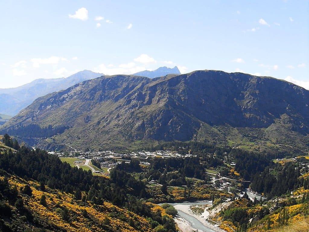 Sight · 7 km awayQueenstown HillShort, steep climb to Queenstown’s classic lake-and-peak panorama
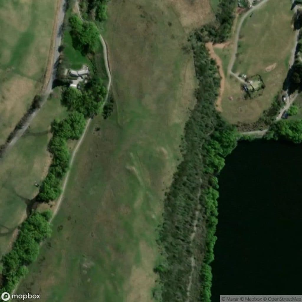 Sight · 7.4 km awayLake Hayes JettyMirror-calm jetty for easy golden-hour shots
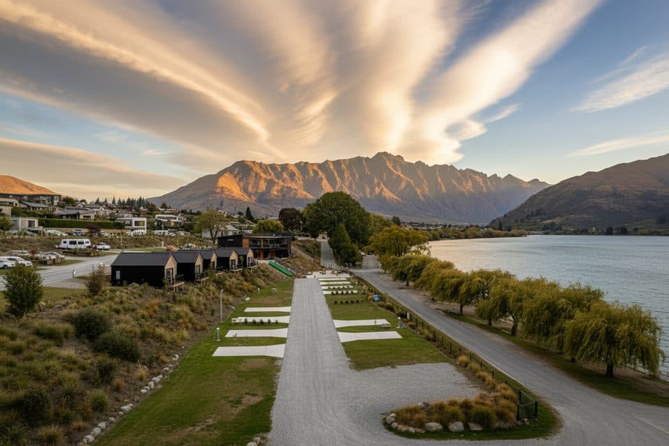 Campground · 8 km awayDriftaway CampgroundModern lakeside holiday park with hot tubs and knockout views
Parkwolf’s Queenstown-Lakes District ranking
The audio tour guide for the drive, plus offline maps, trails, and wildlife heatmaps for when the signal drops.




