Parking
The marked access is on the east side of Newton B. Drury Scenic Parkway at mile marker 133.50; use the short paved stub. Parking is limited, especially for RVs and trailers.
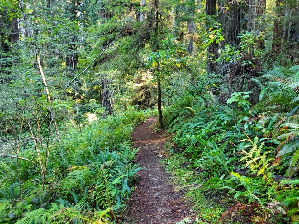
Redwood National Park, CA
A short redwood walk shows what logging road restoration looks like
Overview
Map & elevation
Plan your hike

The highest, rockiest slopes around here are a summer buffet for grizzly bears.
Redwood Tour Guide
Parkwolf is a GPS audio tour guide for Redwood National Park. As you drive, it chimes in with what’s ahead: hidden gems, upcoming stops, history, geology, and wildlife, right through your car’s speakers.
See the Redwood audio tourRecorded for this trailhead
Ah-Pah Interpretive Trail“Ah-Pah Interpretive Trail is coming up, a half-hour walk showing how an old logging road becomes forest again.”
Plays as you drive up to this trailhead in the Parkwolf Redwood Tour Guide.
More stories near here in the app
“Fantastic app with many points of information… It’s great to just turn on while you’re driving and it gives you an audio tour of the national Park. We love it!!!!”


Trail guide
Ah-Pah Interpretive Trail is a 0.6-mile out-and-back from a small paved road stub on the east side of Newton B. Drury Scenic Parkway to the Merriman Grove sign. The path follows an old logging road down through redwood uplands, then returns the same way. Allow about half an hour if you stop at the signs. It is a good short choice when you want to see how a logged hillside recovers, rather than spend hours on a longer redwood hike. The grades are uneven but not steep.
The former logging road was rehabilitated in 1995. The first tenth-mile is relatively level, with three interpretive signs explaining the road removal and hillside recontouring. A broad, open strip still cuts through the surrounding redwoods; young trees and brush along it make the restoration visible, including where mature trees have not returned. Sword ferns, salal, rhododendron and berry shrubs edge the path.
Around 0.2 mile in, the route passes Chas L. McKelvy Memorial Grove and several fallen trees. A small red alder grove comes before the Merriman Grove sign, about 0.3 mile from the start. The forest opens there, with a view down to large redwoods below the trail. Turn back at the sign: a steep informal path continues beyond it but fades into a ravine; it is not part of the maintained walk.
The marked access is on the east side of Newton B. Drury Scenic Parkway at mile marker 133.50; park on the short paved stub. Parking is limited, especially for RVs and trailers. Pets are not allowed on park trails.
Wildlife
 256 sightingsBlack BearMost seen around 7 PMSighting map
 2,389 sightingsElkMost seen around 6 PMSighting map
 62 sightingsCalifornia CondorMost seen around 1 PMSighting map
 60 sightingsCalifornia Sea LionMost seen around 11 AMSighting map
 216 sightingsHarbor SealMost seen around 10 AMSighting map
 13 sightingsMountain LionMost seen around 7 PMSighting map
Sighting maps show where each species has been reported across Redwood. Wildlife moves, so no sighting is guaranteed.
Keep exploring
 ModerateTen Taypo-Hope Creek Loop Trail3.6 mi · 2 hr · 0.8 mi awayFerny creek canyons, a winding footbridge, and a redwood ridge loop.
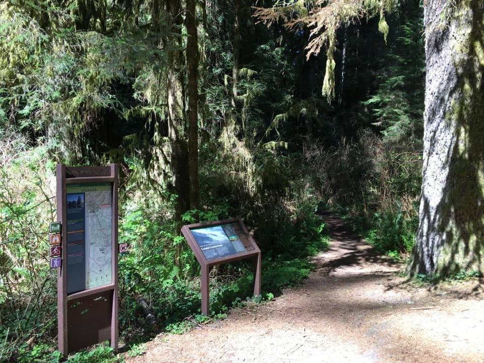 ModerateOssagon Trail3.6 mi · 2.5 hr · 0.8 mi awayFollow redwoods downhill to Ossagon Rocks and a wild beach.
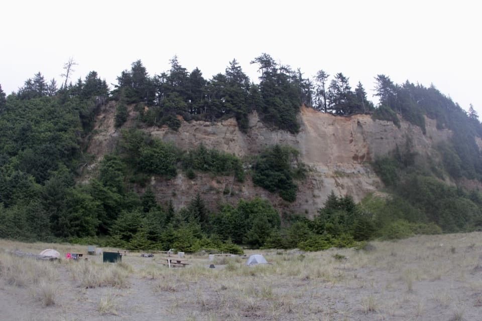 ModerateGold Bluffs Beach Section of the Coastal Trail4.8 mi · 3 hr · 1.4 mi awayRugged coastal walk with a steep beach drop and scattered sea stacks.
 ModerateCarruthers Cove Trail1.5 mi · 1.3 hr · 1.4 mi awayA steep forest descent ends at a quiet, boulder-strewn cove.
 EasyLittle Creek Trail0.4 mi · 30 min · 1.7 mi awayA short canyon climb to a fern-framed memorial bench.
 ModerateCoastal Trail: Tey-wo-lew Section3 mi · 1.8 hr · 1.8 mi awayA former highway becomes a signed coastal trail.
 ModerateFriendship Ridge Trail3 mi · 2 hr · 2 mi awayA moderate redwood connector through fern-lined ravines.
 EasyMoorman-Pond Trail0.7 mi · 36 min · 2.6 mi awayA creekside redwood walk with a name worth untangling
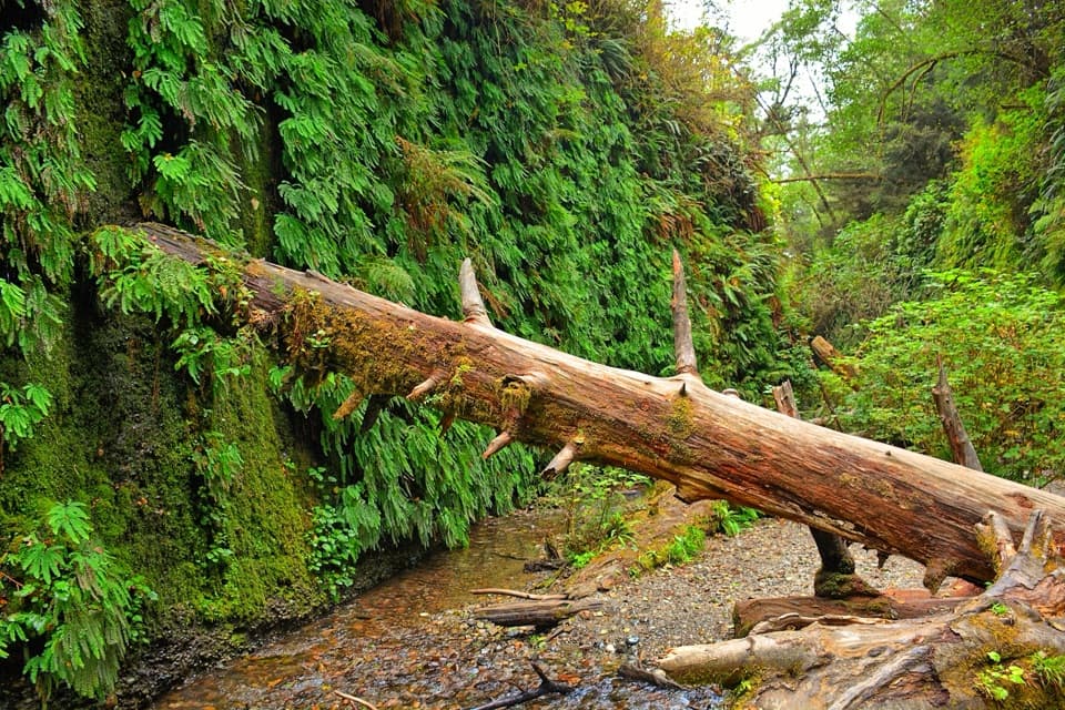 Sight · 3.5 mi awayFern CanyonA creek walk between steep walls draped in ferns.
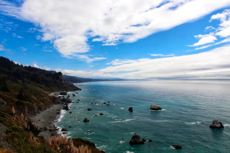 Sight · 4.7 mi awayHigh Bluff OverlookSplit Rock, surf, and rugged shoreline in one quick stop.
 Campground · 4.9 mi awayGold Bluffs Beach CampgroundSleep beside the Pacific, with Fern Canyon up the road.
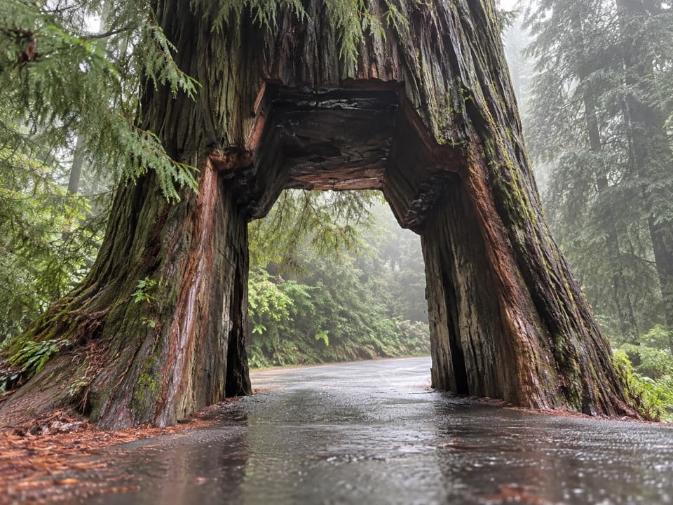 Sight · 4.9 mi awayKlamath Tour Thru TreeDrive a car through a redwood, then grab the photo.
 Sight · 5 mi awayCorkscrew TreeOne redwood, several trunks, and a remarkably twisted form.
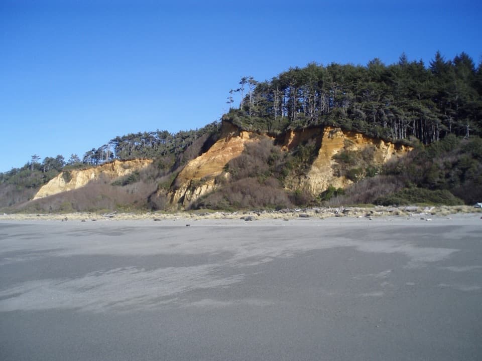 Beach · 5.3 mi awayGold Bluffs Beach Day Use AreaA long gray-sand beach below orange bluffs and coastal forest.
 Sight · 5.4 mi awayWorld War II Radar Station B-71A farmhouse facade hiding a Pacific Coast radar post.
 Sight · 5.5 mi awayBig Tree WaysideA 1,500-year-old redwood with a platform and short grove walks
Parkwolf’s Redwood ranking

The audio tour guide for the drive, plus offline maps, trails, and wildlife heatmaps for when the signal drops.





