Parking
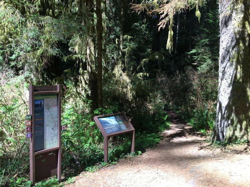
Use the marked pullout on the west side of Newton B. Drury Scenic Parkway near milepost 132.9. Parking is limited and roadside.
Redwood National Park, CA
Follow redwoods downhill to Ossagon Rocks and a wild beach.
Overview
Map & elevation
Plan your hike

The highest, rockiest slopes around here are a summer buffet for grizzly bears.
Redwood Tour Guide
Parkwolf is a GPS audio tour guide for Redwood National Park. As you drive, it chimes in with what’s ahead: hidden gems, upcoming stops, history, geology, and wildlife, right through your car’s speakers.
See the Redwood audio tourRecorded for this trailhead
Hope Creek and Ten Taypo Loop“You're approaching the Hope Creek trailhead, where the Ten Taypo loop takes you through ferny canyons and across a redwood ridge.”
Plays as you drive up to this trailhead in the Parkwolf Redwood Tour Guide.
More stories near here in the app
“Fantastic app with many points of information… It’s great to just turn on while you’re driving and it gives you an audio tour of the national Park. We love it!!!!”


Trail guide
Ossagon Trail is an out-and-back from Newton B. Drury Scenic Parkway to the north end of Gold Bluffs Beach. The published line is 1.8 miles each way, or 3.6 miles round trip; allow about 2.5 to 3 hours for the descent, a beach stop, and the climb back. It is a moderate hike with an initially gentle rise followed by a long downhill stretch. The beach is the payoff, but the return is a sustained uphill push.
The path starts in a shallow ravine under old-growth redwoods, then climbs gently before dropping along the former road corridor. The redwoods give way to Sitka spruce, and the lower canyon becomes wetter and denser, with red alder and brush. Expect a route that changes character as it loses elevation, not a smooth coastal promenade.
Near the bottom, the route crosses a marshy area around Ossagon Creek and opens onto grassy coastal flat. Flooding has shifted the old constructed line; route descriptions report an informal tread that changes with the wet ground, and the creek crossing can involve wading or a seasonal bridge. Treat 3.6 miles as the mapped round trip, with extra distance possible if the lower path detours. Follow only a clearly visible, safe route through the marsh; do not cut new paths through it.
The trail reaches the north end of Gold Bluffs Beach. Ossagon Rocks sit along the water, including a distinct arrowhead-shaped rock; erosion has brought surf close to the rocks. Roosevelt elk are often on this stretch of beach, so give them plenty of space. For a photo, frame the pointed rock with the beach and surf; a visible old sand line on the rock records how the shoreline has shifted.
Much of the walk follows Ossagon Road, once the route to a gold-mining operation at the mouth of Ossagon Creek. Cars used the coastal road until the early 1970s; now the hike gives you the forest-to-beach route without driving it.
Start at the marked west-side trailhead on Newton B. Drury Scenic Parkway near milepost 132.9. Parking is limited to small roadside pullouts. Hikers share the trail with bicycles; pets are prohibited and e-bikes are not allowed on state-park bike trails. The trailhead lists parking, a bike rack, interpretive signs and trash receptacles; toilets, potable water and food service were not confirmed, so arrive self-contained.
Wildlife
 256 sightingsBlack BearMost seen around 7 PMSighting map
 2,389 sightingsElkMost seen around 6 PMSighting map
 62 sightingsCalifornia CondorMost seen around 1 PMSighting map
 60 sightingsCalifornia Sea LionMost seen around 11 AMSighting map
 216 sightingsHarbor SealMost seen around 10 AMSighting map
 13 sightingsMountain LionMost seen around 7 PMSighting map
Sighting maps show where each species has been reported across Redwood. Wildlife moves, so no sighting is guaranteed.
Keep exploring
 ModerateTen Taypo-Hope Creek Loop Trail3.6 mi · 2 hr · At the trailheadFerny creek canyons, a winding footbridge, and a redwood ridge loop.
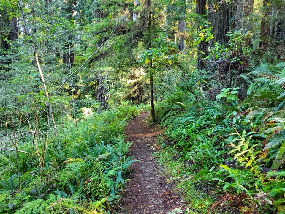 EasyAh-Pah Interpretive Trail0.6 mi · 30 min · 0.8 mi awayA short redwood walk shows what logging road restoration looks like
 EasyLittle Creek Trail0.4 mi · 30 min · 0.9 mi awayA short canyon climb to a fern-framed memorial bench.
 ModerateFriendship Ridge Trail3 mi · 2 hr · 1.1 mi awayA moderate redwood connector through fern-lined ravines.
 EasyMoorman-Pond Trail0.7 mi · 36 min · 1.8 mi awayA creekside redwood walk with a name worth untangling
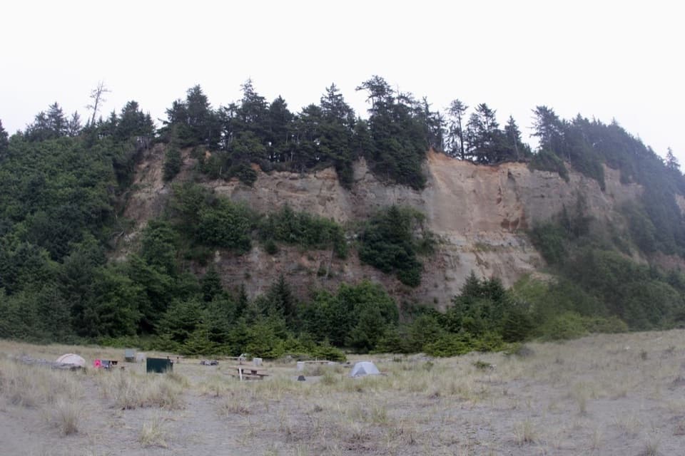 ModerateGold Bluffs Beach Section of the Coastal Trail4.8 mi · 3 hr · 2 mi awayRugged coastal walk with a steep beach drop and scattered sea stacks.
 ModerateCarruthers Cove Trail1.5 mi · 1.3 hr · 2 mi awayA steep forest descent ends at a quiet, boulder-strewn cove.
 ModerateC.R.E.A. Trail5.8 mi · 4 hr · 2.2 mi awayA quiet climb to a small redwood grove, with a steep finish
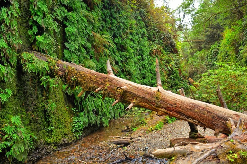 Sight · 2.7 mi awayFern CanyonA creek walk between steep walls draped in ferns.
 Campground · 4.1 mi awayGold Bluffs Beach CampgroundSleep beside the Pacific, with Fern Canyon up the road.
 Sight · 4.2 mi awayCorkscrew TreeOne redwood, several trunks, and a remarkably twisted form.
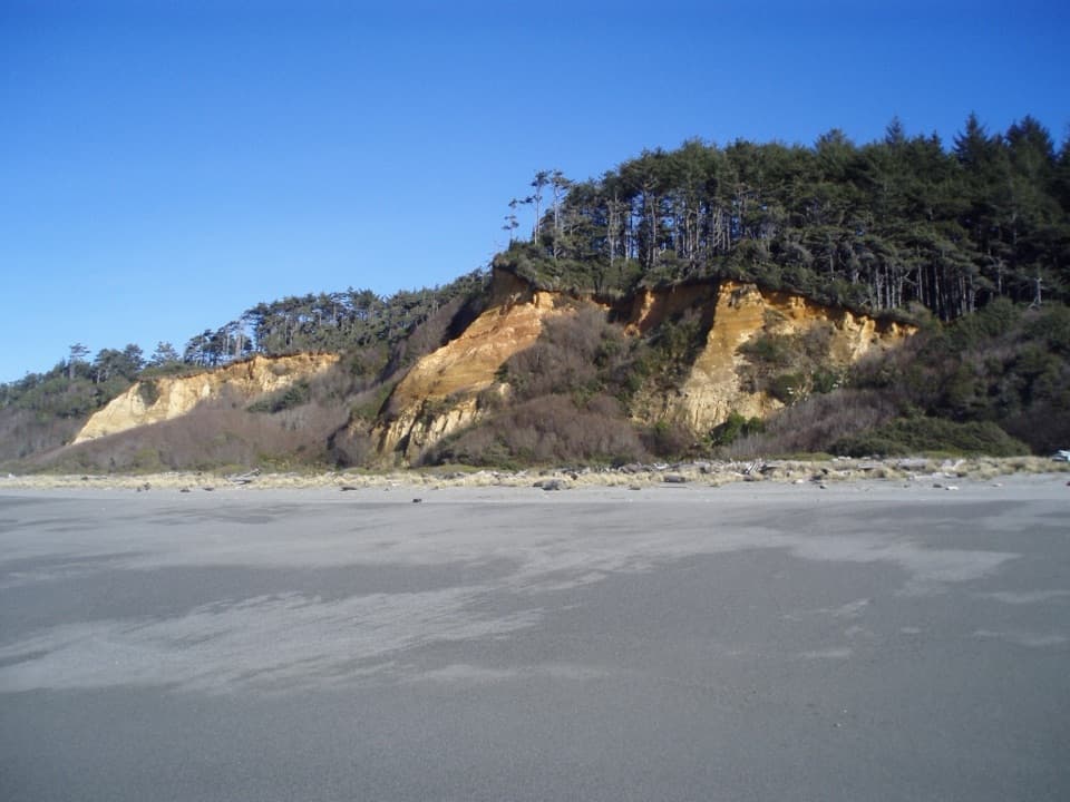 Beach · 4.5 mi awayGold Bluffs Beach Day Use AreaA long gray-sand beach below orange bluffs and coastal forest.
 Sight · 4.7 mi awayBig Tree WaysideA 1,500-year-old redwood with a platform and short grove walks
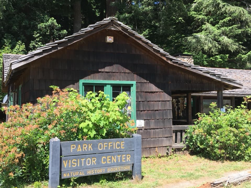 Visitor center · 5.3 mi awayPrairie Creek Visitor CenterA CCC cabin with redwood exhibits and trail advice.
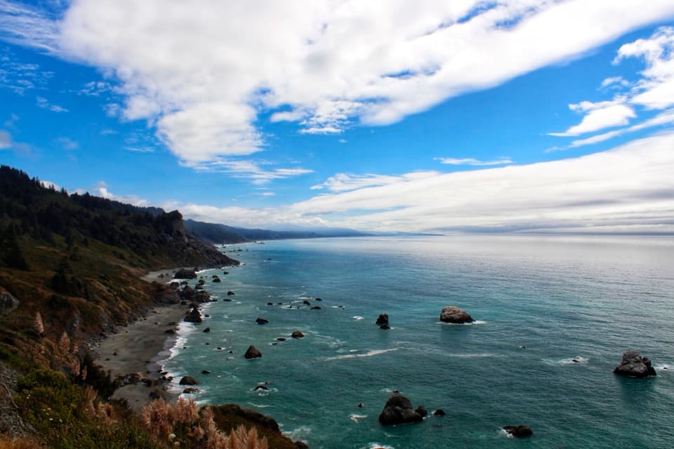 Sight · 5.3 mi awayHigh Bluff OverlookSplit Rock, surf, and rugged shoreline in one quick stop.
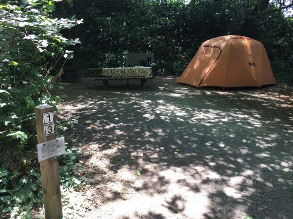 Campground · 5.5 mi awayElk Prairie CampgroundA leafy base near elk meadow and old-growth trails
Parkwolf’s Redwood ranking

The audio tour guide for the drive, plus offline maps, trails, and wildlife heatmaps for when the signal drops.





