Parking
Use the Alpine Visitor Center lot, then cross Trail Ridge Road to the signed start. Arrange a pickup at Milner Pass or plan to retrace the route.
Rocky Mountain National Park, CO
A high tundra traverse ending at the Continental Divide
Overview
Map & elevation
Plan your hike

The highest, rockiest slopes around here are a summer buffet for grizzly bears.
Rocky Mountain Tour Guide
Parkwolf is a GPS audio tour guide for Rocky Mountain National Park. As you drive, it chimes in with what’s ahead: hidden gems, upcoming stops, history, geology, and wildlife, right through your car’s speakers.
See the Rocky Mountain audio tourRecorded for this trailhead
Alpine Visitor Center: Views and a Café“Up ahead is Alpine Visitor Center at Fall River Pass, the highest visitor center in the National Park System. Stop for the tundra views, even if you don't want a climb.”
Plays as you drive up to this trailhead in the Parkwolf Rocky Mountain Tour Guide.
More stories near here in the app
“…No cell service for majority of the day but had continuous access to the app - the maps, the tour guide as you drive is amazing. Highly recommend purchasing the subscription.”


Trail guide
Ute Trail West is a 4-mile point-to-point hike from the Alpine Visitor Center to Milner Pass. You start near 11,800 feet and finish about 1,000 feet lower. The first half is mostly open tundra; then the route drops into subalpine forest. Allow about 2½ hours one way. It is a strong choice if you can arrange a pickup at the far end. Without one, retracing it makes the day about 8 miles, with the climb back to the visitor center.
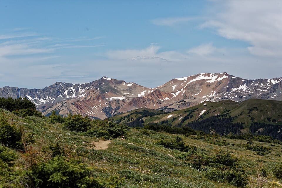
The signed start is across Trail Ridge Road from the visitor center lot. The path descends gradually through alpine meadow, with Specimen Mountain across the valley and longer views toward the Never Summer Range and the Cache la Poudre valley. Most of the upper route has no tree cover, so the views are the payoff and weather exposure is part of the deal. Stay on the tread in fragile tundra; off-trail hiking is prohibited in designated closure areas near the visitor center.
Small ponds appear around Forest Canyon Pass, near the halfway point. If the water is calm, pause for the reflection of the Continental Divide peaks. Past the pass, fir and spruce grow thicker; the final descent follows steep switchbacks by crumbling cliffs and reaches Milner Pass beside Poudre Lake. Pikas and marmots are possible in the upper tundra.
The 4 miles are one way; there is no shuttle between the two access points, so arrange a car pickup at Milner Pass or retrace the route. Restrooms are at the Alpine Visitor Center. The seasonal cafe and coffee bar are next door at Trail Ridge Store. A park entrance pass is required, and pets are prohibited on park trails, tundra and meadows.
Wildlife
 3,124 sightingsElkMost seen around 6 PMSighting map
 1,601 sightingsMooseMost seen around 7 PMSighting map
 19 sightingsMountain GoatMost seen around 7 AMSighting map
 19 sightingsBald EagleMost seen around 8 AMSighting map
 30 sightingsGolden EagleMost seen around 10 AMSighting map
 270 sightingsBighorn SheepMost seen around 11 AMSighting map
Sighting maps show where each species has been reported across Rocky Mountain. Wildlife moves, so no sighting is guaranteed.
Keep exploring
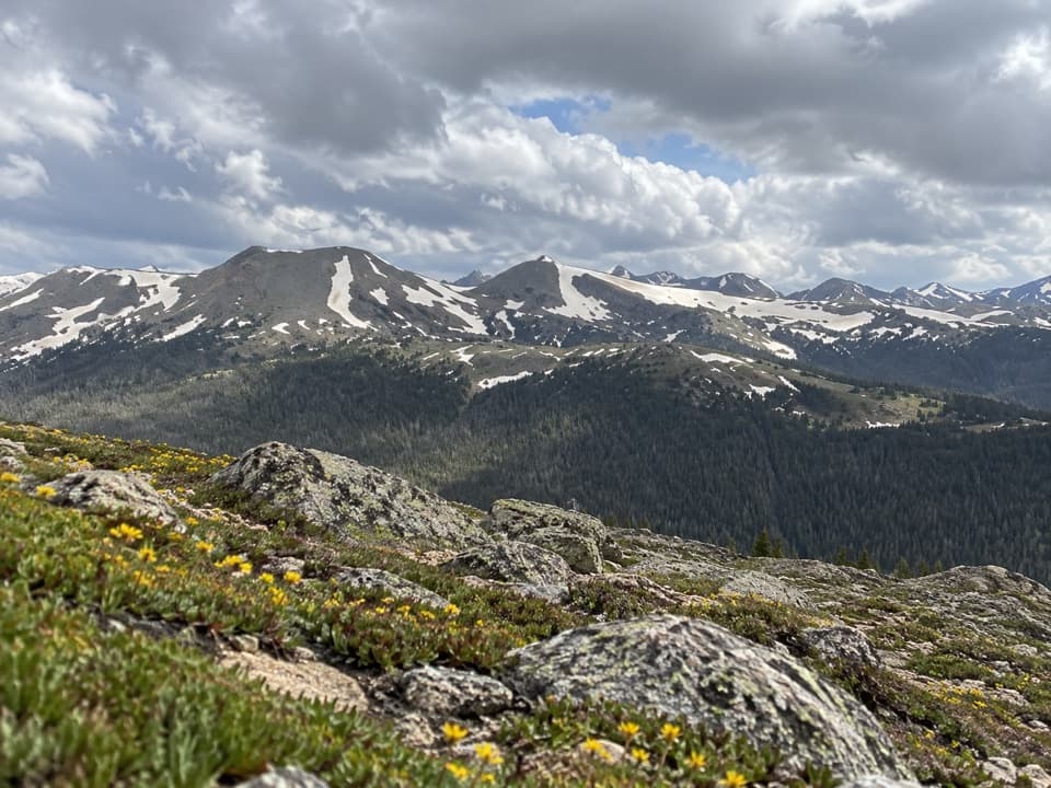 ModerateAlpine Ridge Trail0.6 mi · 45 min · 0.1 mi awayA steep stair climb to a 12,000-foot, four-direction view.
 ChallengingChapin Creek Trail1.3 mi · 1.3 hr · 1.4 mi awayA steep creek path fades into a high mountain meadow.
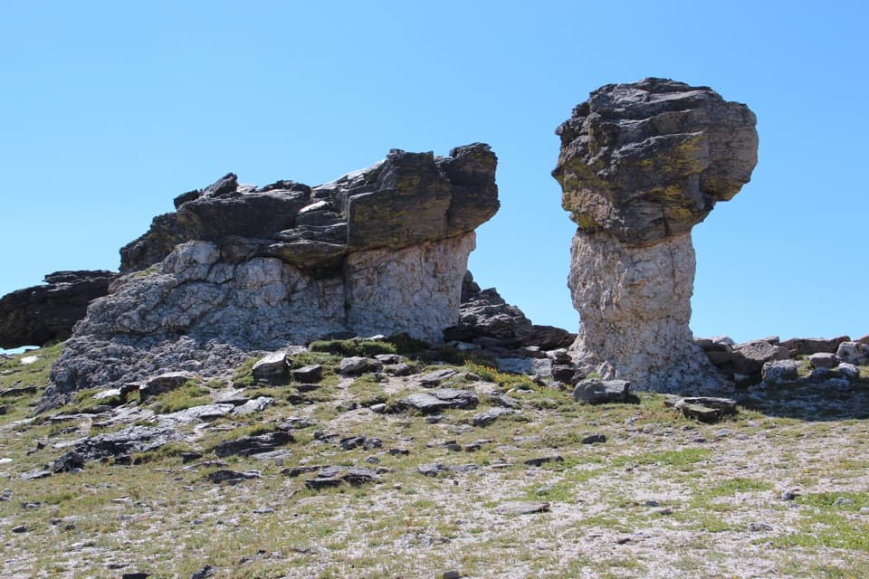 EasyTundra Communities Trail1.2 mi · 1 hr · 2.3 mi awayA short paved climb to a memorial among mushroom rocks.
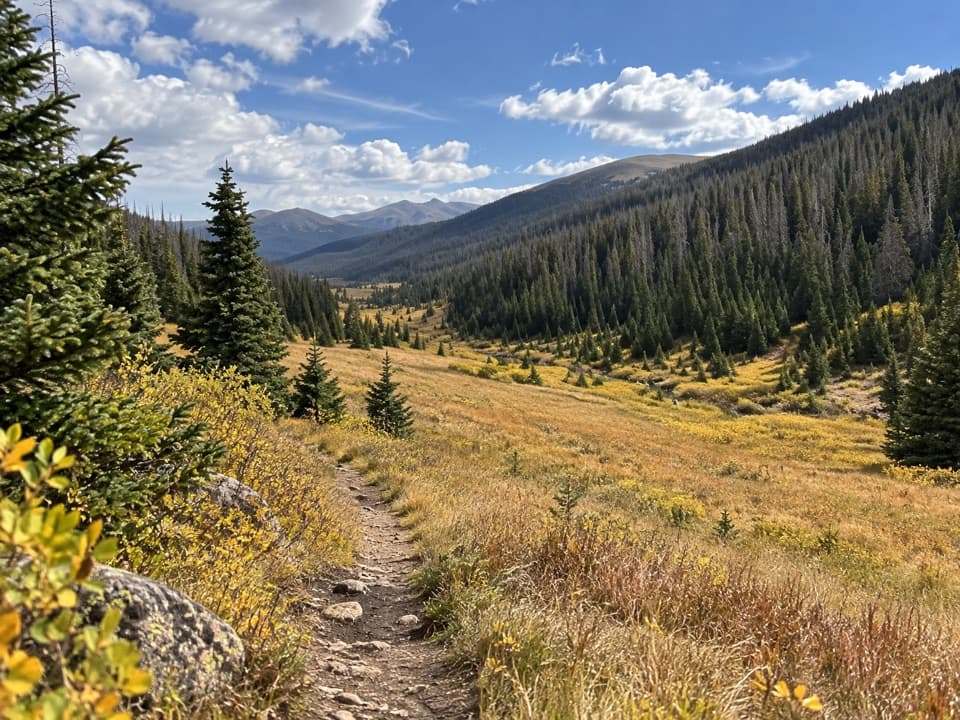 ModeratePoudre River Trail from Milner Pass6 mi · 3.5 hr · 2.9 mi awayA 6-mile headwaters out-and-back through high, wet meadows.
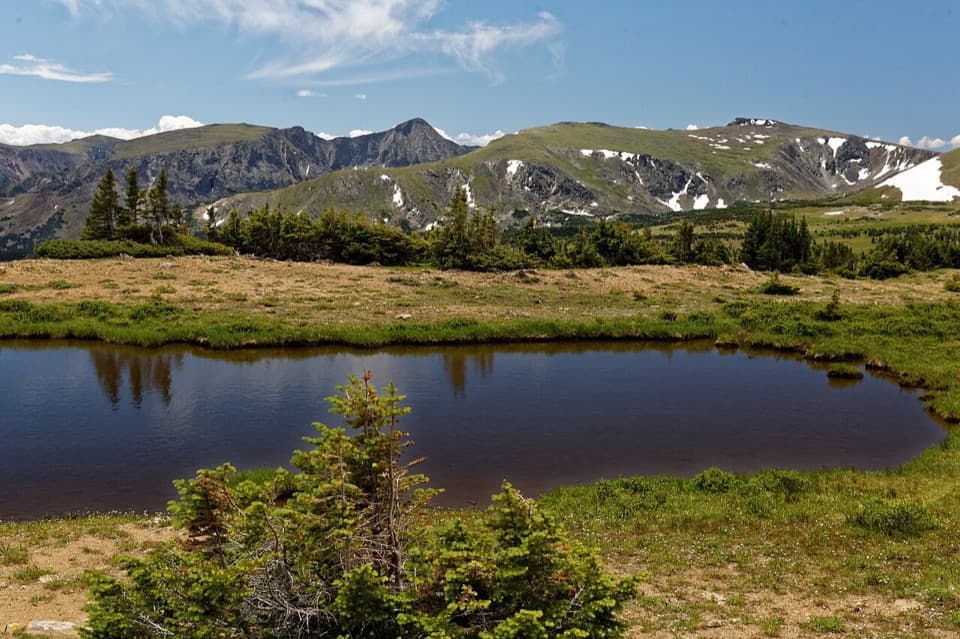 ModerateForest Canyon Pass Trail4.7 mi · 3.5 hr · 3.3 mi awayTundra ponds and canyon views reward this high-country climb.
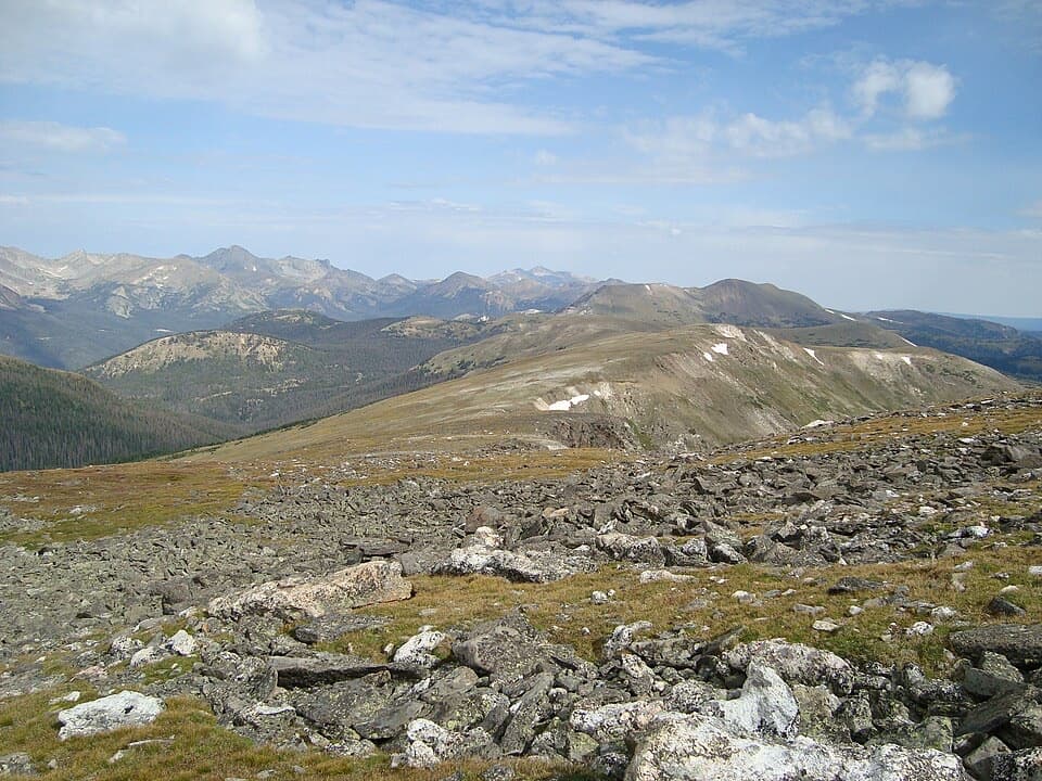 ChallengingMount Ida Trail9.6 mi · 6.5 hr · 3.3 mi awayA hard climb to a wide-open Continental Divide summit.
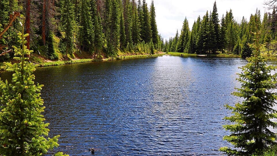 EasyLake Irene Trail0.8 mi · 45 min · 3.9 mi awayA short lake loop with an optional meadow view.
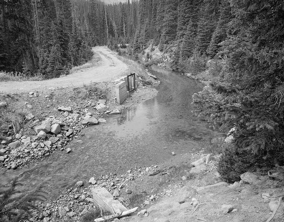 ChallengingGrand Ditch Trail30 mi · 10 hr · 4.4 mi awayA 30-mile return beside a historic mountain water diversion.
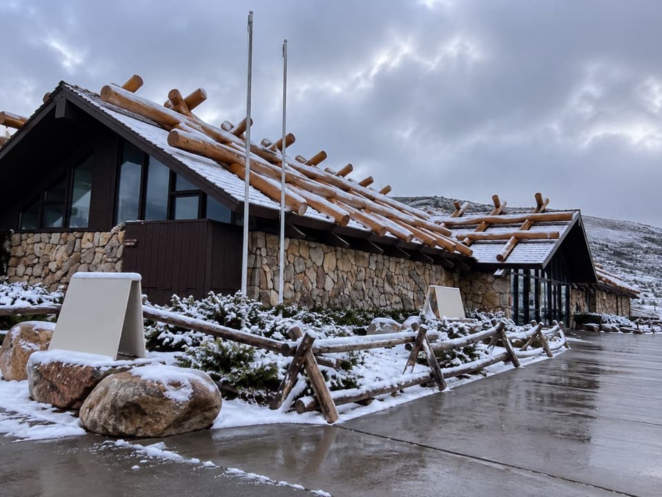 Visitor center · At the trailheadAlpine Visitor CenterThe National Park System's highest visitor center, above the treeline.
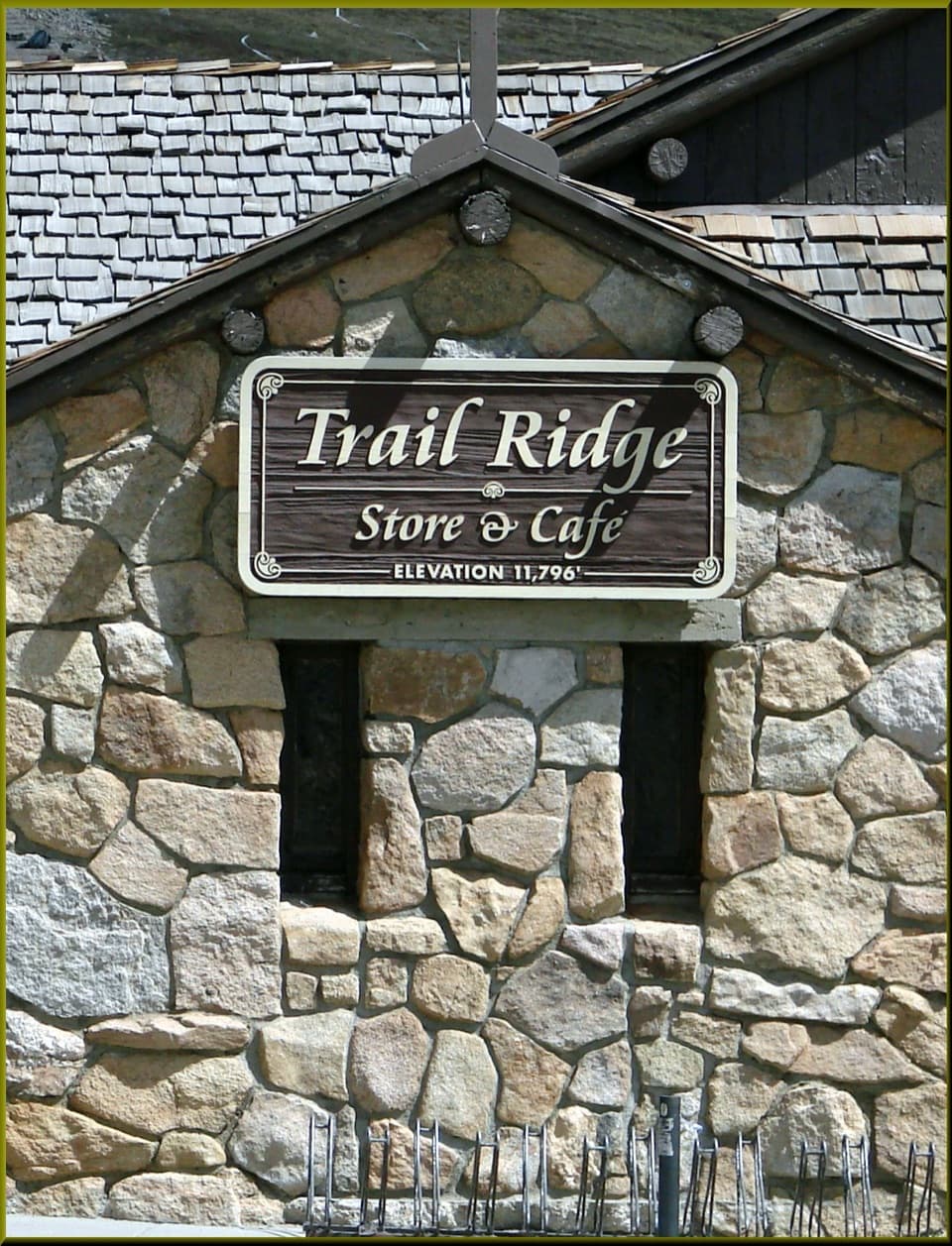 Food · 0.1 mi awayTrail Ridge Store & CaféA stone café and gift shop at Trail Ridge Road's high pass.
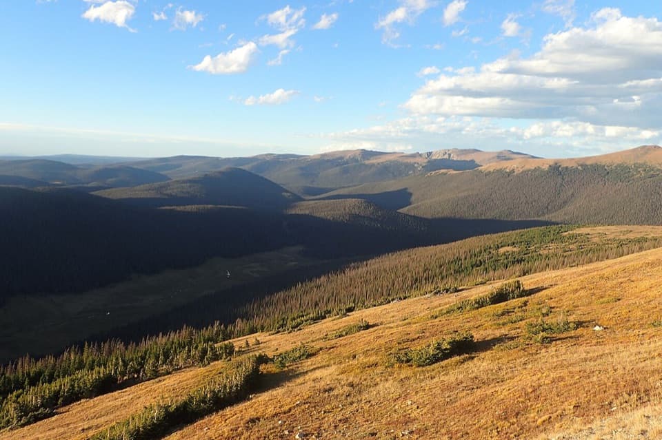 Sight · 0.4 mi awayMedicine Bow CurveFollow the Cache la Poudre valley toward Wyoming’s mountains.
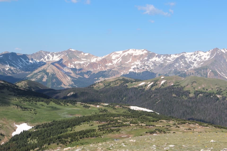 Sight · 0.9 mi awayGore Range OverlookCatch the Never Summer skyline without adding a hike.
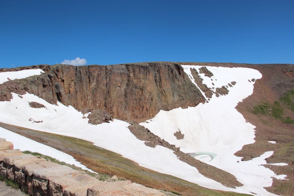 Sight · 1.1 mi awayLava Cliffs OverlookA rare lava exposure beside Trail Ridge Road.
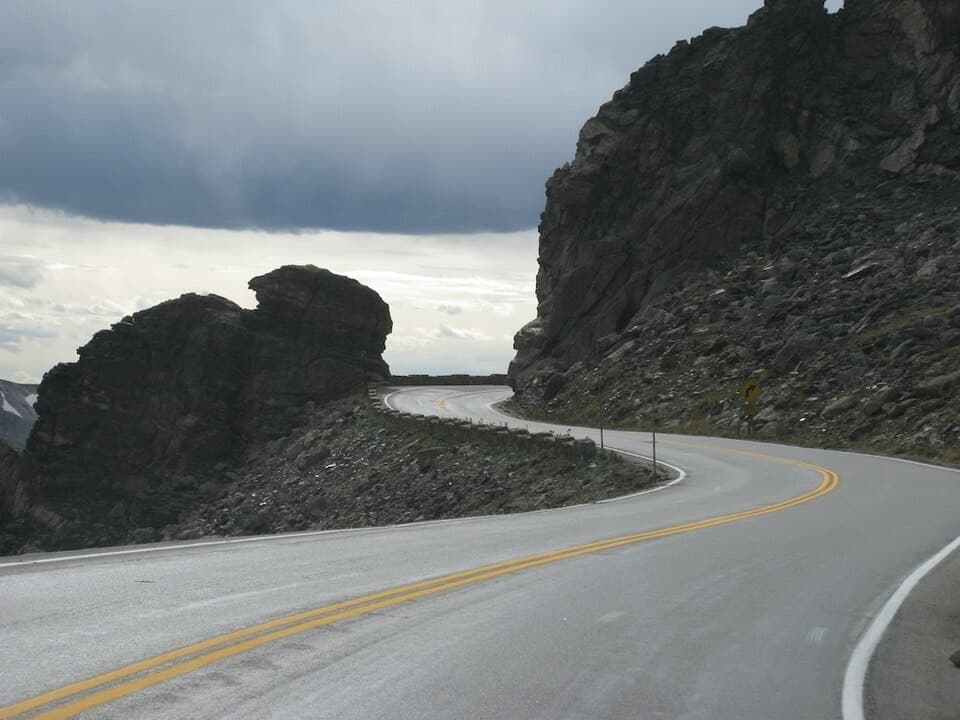 Sight · 2.3 mi awayRock CutA road cut through the tundra, with pikas among the rocks.
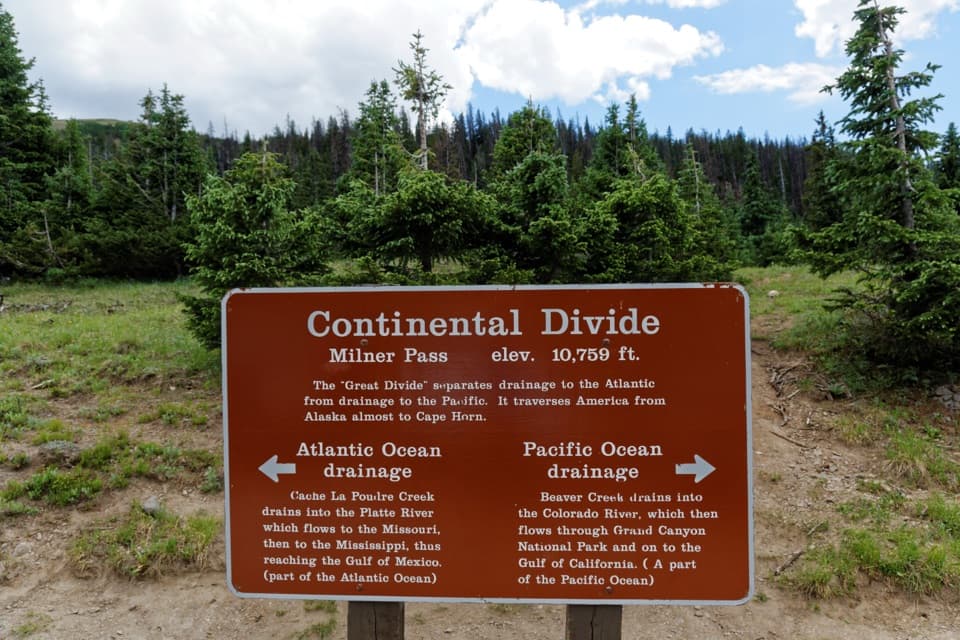 Sight · 3.3 mi awayMilner PassStand at the Continental Divide beside Poudre Lake.
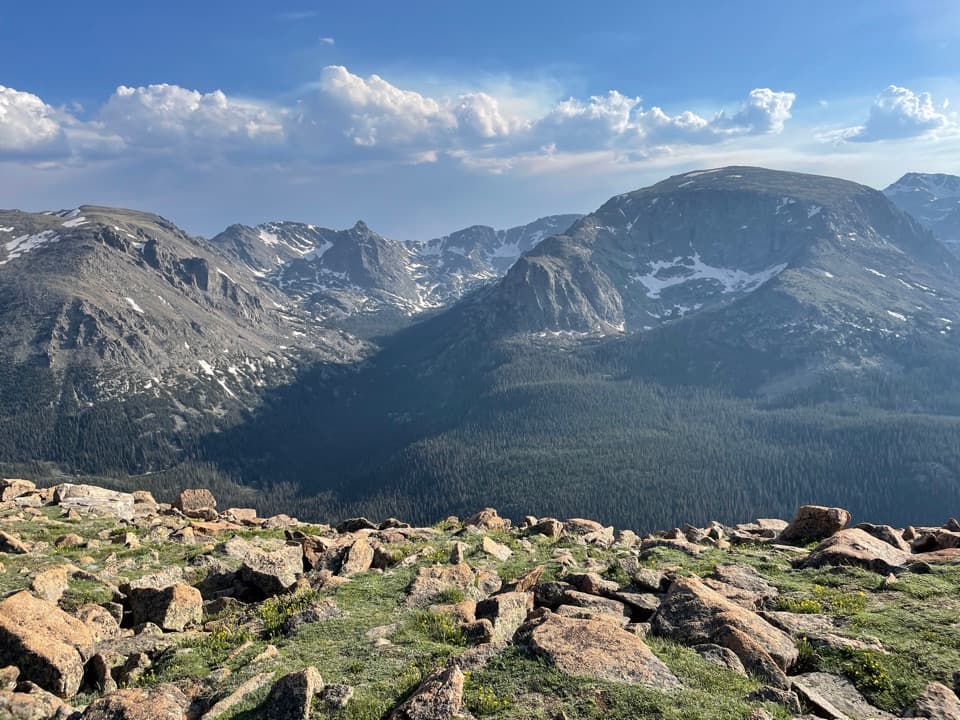 Sight · 3.8 mi awayForest Canyon OverlookFive minutes of walking reveals a canyon carved by ice.
Parkwolf’s Rocky Mountain ranking

The audio tour guide for the drive, plus offline maps, trails, and wildlife heatmaps for when the signal drops.




