Parking
La Poudre Pass Trailhead sits at the end of Long Draw Road. Parking for about 12 vehicles and a vault toilet are available; there is no potable water.
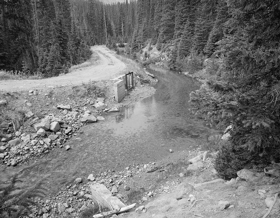
Rocky Mountain National Park, CO
A 30-mile return beside a historic mountain water diversion.
Overview
Map & elevation
Plan your hike

The highest, rockiest slopes around here are a summer buffet for grizzly bears.
Rocky Mountain Tour Guide
Parkwolf is a GPS audio tour guide for Rocky Mountain National Park. As you drive, it chimes in with what’s ahead: hidden gems, upcoming stops, history, geology, and wildlife, right through your car’s speakers.
See the Rocky Mountain audio tourMore stories near here in the app
“…No cell service for majority of the day but had continuous access to the app - the maps, the tour guide as you drive is amazing. Highly recommend purchasing the subscription.”


Trail guide
Grand Ditch Trail is a same-trail out-and-back beside the historic Grand River Ditch. Follow a level, maintained dirt road along the canal from La Poudre Pass; the corridor is roughly 15 miles one way, so reaching its far end and returning is about 30 miles. The draw is the long waterworks corridor and its history, not a summit or loop.
The road is described as easy, but the complete return is a serious full-day distance at about 10,200 feet. Allow around 9 to 10 hours for the full route, with extra time if you want a slower pace or longer stops. If that is too much, make this a shorter out-and-back and turn around before the far end; there is no confirmed one-way exit for the whole corridor.
The Grand River Ditch, also called Specimen Ditch, first carried water across La Poudre Pass in 1890. It was extended south to Bear Creek in 1936. The ditch intercepts 11 headwater tributaries between May and September, diverting about 29 percent of Never Summer runoff on average. That water engineering has had a downstream effect too: research reports reduced flooding and lower peatland water levels in Kawuneeche Valley.
Start at La Poudre Pass Trailhead, at the end of Long Draw Road. The lot has room for about 12 vehicles and a vault toilet, but no potable water; treat any water from the ditch before drinking it. The trail enters Rocky Mountain National Park, where dogs are prohibited. The entire canal-top road is described as a hiking route, but agency pages do not spell out pedestrian permission for every maintenance-road segment. Confirm full-route access with the managing agencies before committing to the 30-mile version.
Wildlife
 3,124 sightingsElkMost seen around 6 PMSighting map
 1,601 sightingsMooseMost seen around 7 PMSighting map
 19 sightingsMountain GoatMost seen around 7 AMSighting map
 19 sightingsBald EagleMost seen around 8 AMSighting map
 30 sightingsGolden EagleMost seen around 10 AMSighting map
 270 sightingsBighorn SheepMost seen around 11 AMSighting map
Sighting maps show where each species has been reported across Rocky Mountain. Wildlife moves, so no sighting is guaranteed.
Keep exploring
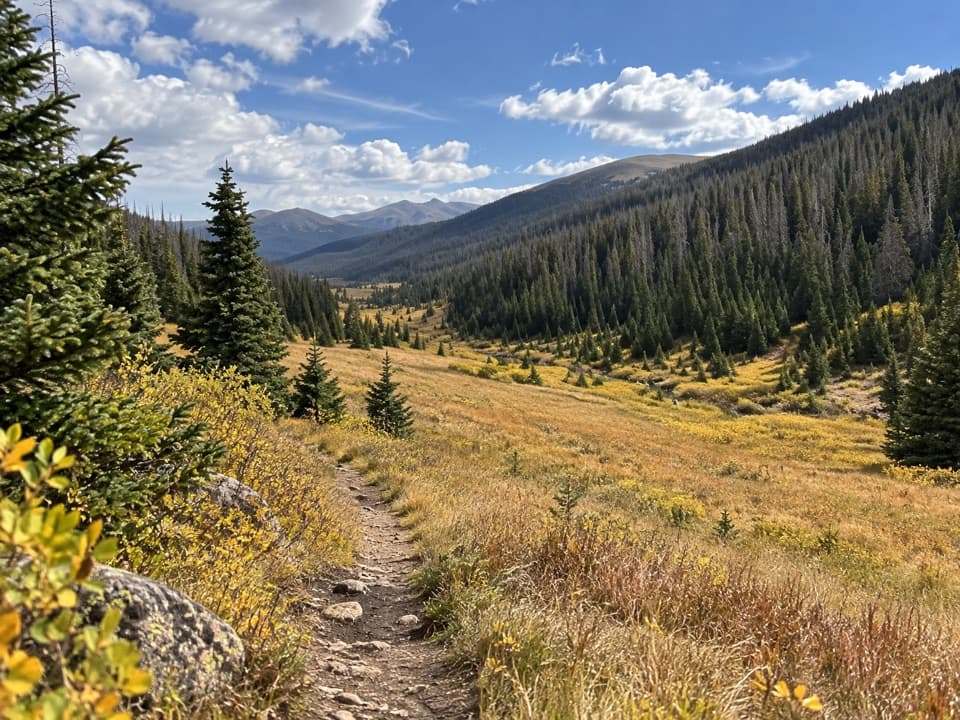 ModeratePoudre River Trail from Milner Pass6 mi · 3.5 hr · 3.7 mi awayA 6-mile headwaters out-and-back through high, wet meadows.
 ModeratePoudre River Trail North9.8 mi · 6 hr · 3.9 mi awayA remote creek-and-river walk with a hard-earned meadow view.
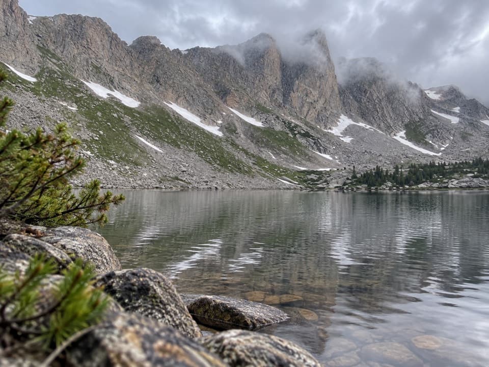 ChallengingMirror Lake Trail from Corral Creek12.5 mi · 14 hr · 3.9 mi awayCross a burned, open valley to a cliff-walled alpine lake.
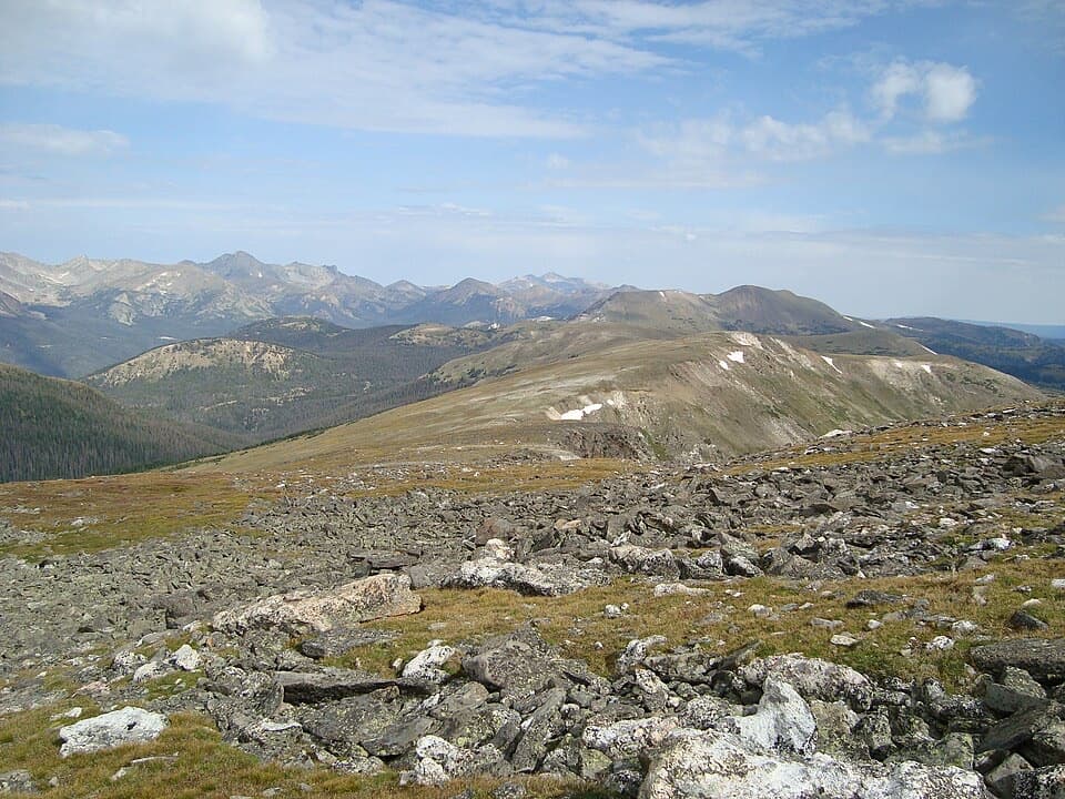 ChallengingMount Ida Trail9.6 mi · 6.5 hr · 4 mi awayA hard climb to a wide-open Continental Divide summit.
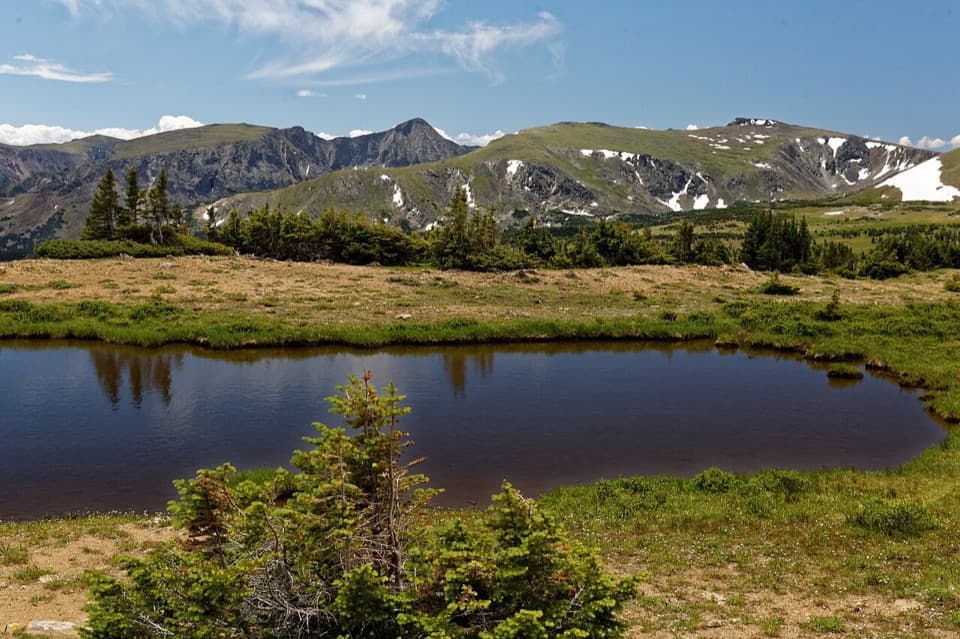 ModerateForest Canyon Pass Trail4.7 mi · 3.5 hr · 4 mi awayTundra ponds and canyon views reward this high-country climb.
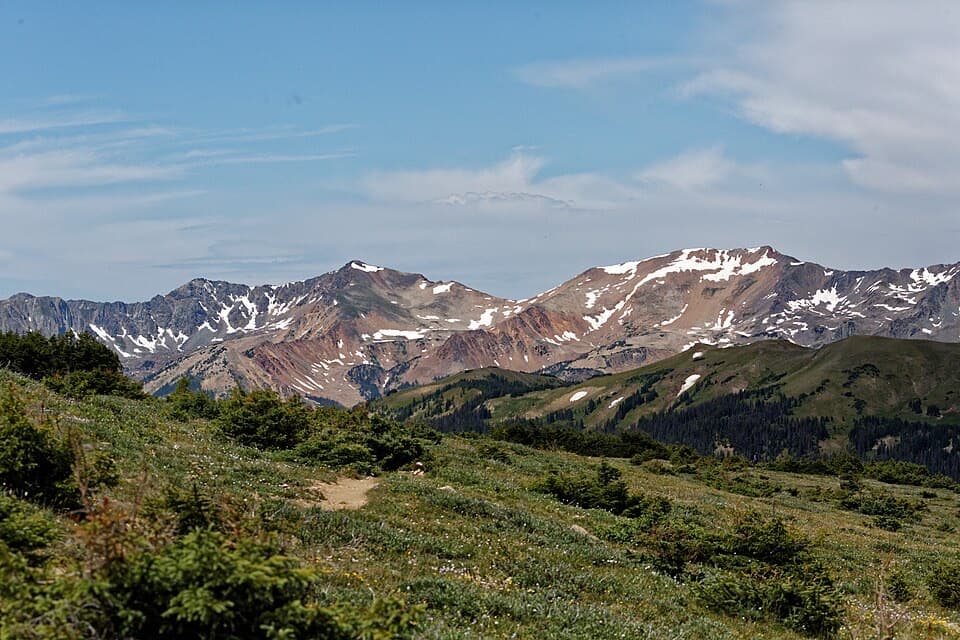 ModerateUte Trail West4 mi · 2.5 hr · 4.4 mi awayA high tundra traverse ending at the Continental Divide
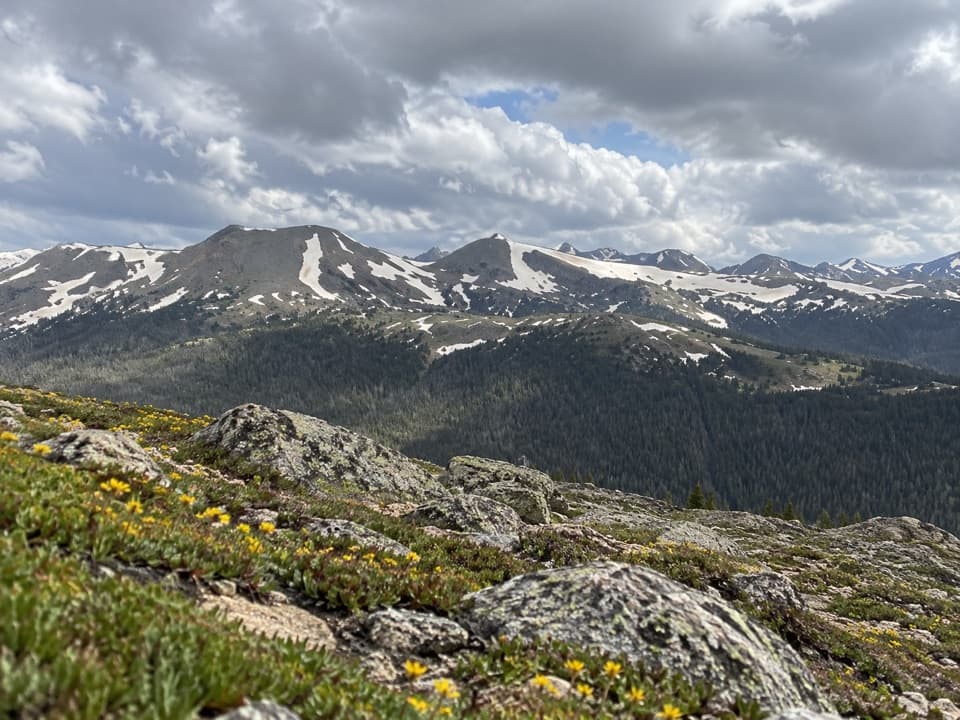 ModerateAlpine Ridge Trail0.6 mi · 45 min · 4.4 mi awayA steep stair climb to a 12,000-foot, four-direction view.
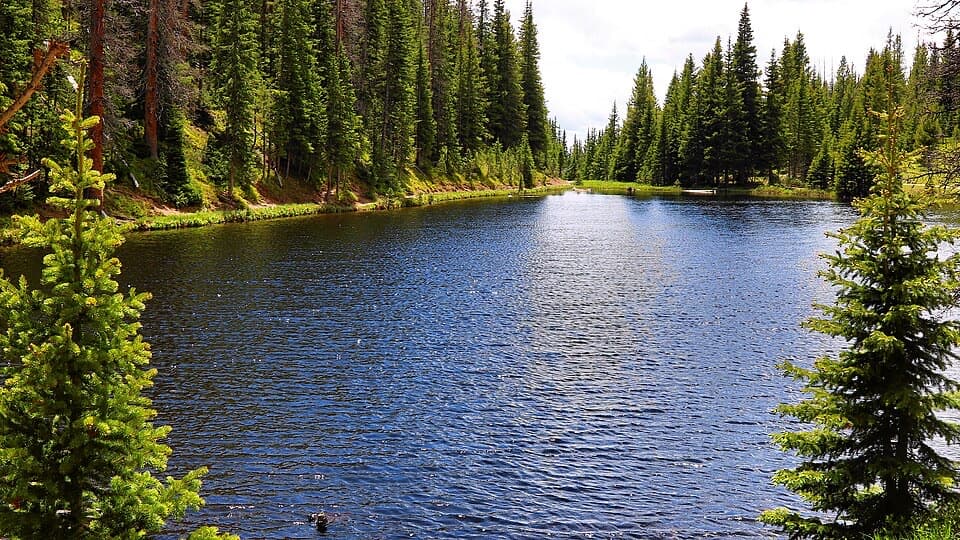 EasyLake Irene Trail0.8 mi · 45 min · 4.4 mi awayA short lake loop with an optional meadow view.
 Sight · 2.5 mi awayLulu City Historic SiteA 7½-mile river walk to the park’s only platted ghost town.
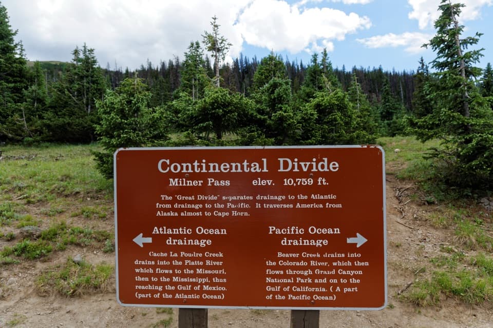 Sight · 4 mi awayMilner PassStand at the Continental Divide beside Poudre Lake.
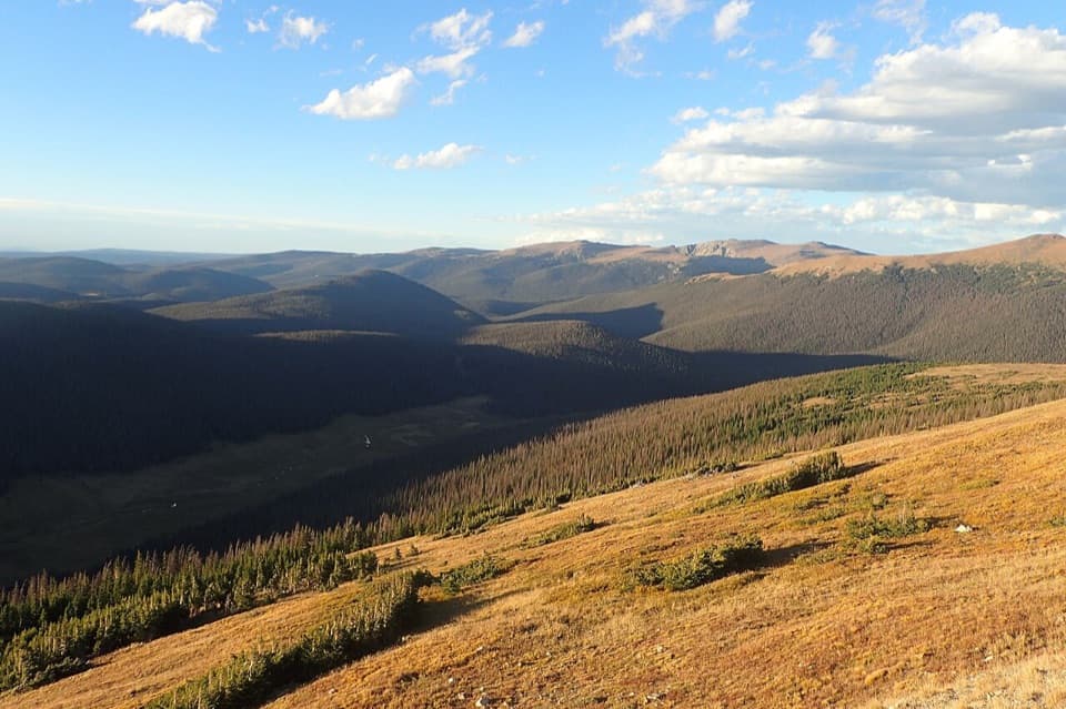 Sight · 4.2 mi awayMedicine Bow CurveFollow the Cache la Poudre valley toward Wyoming’s mountains.
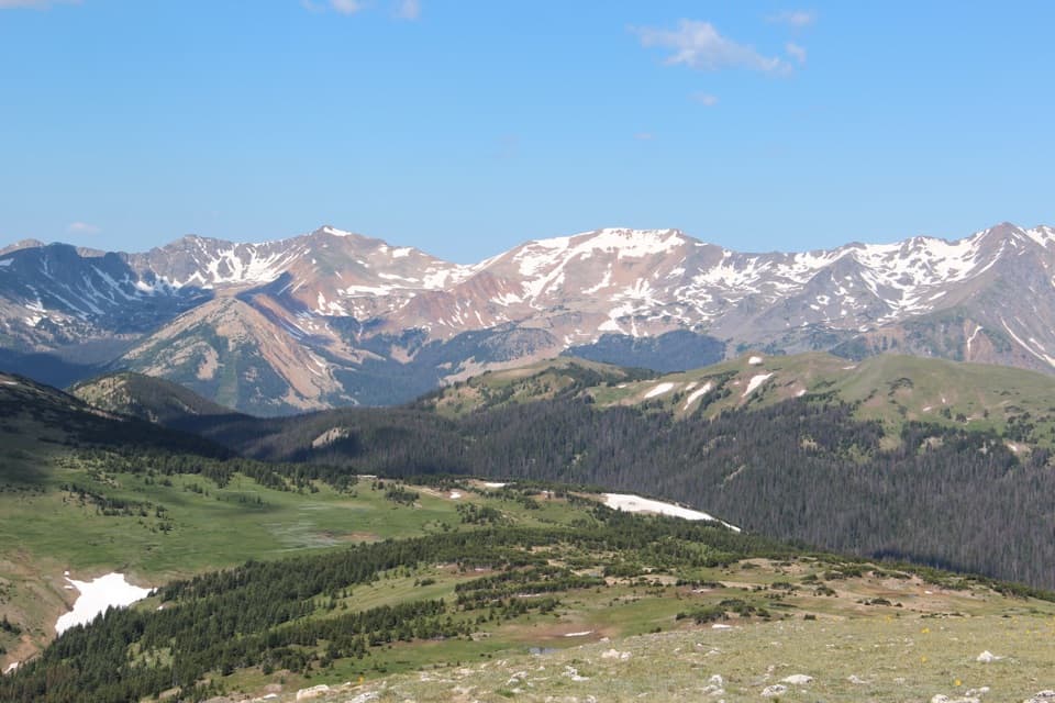 Sight · 4.2 mi awayGore Range OverlookCatch the Never Summer skyline without adding a hike.
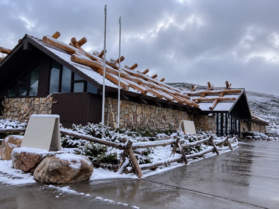 Visitor center · 4.4 mi awayAlpine Visitor CenterThe National Park System's highest visitor center, above the treeline.
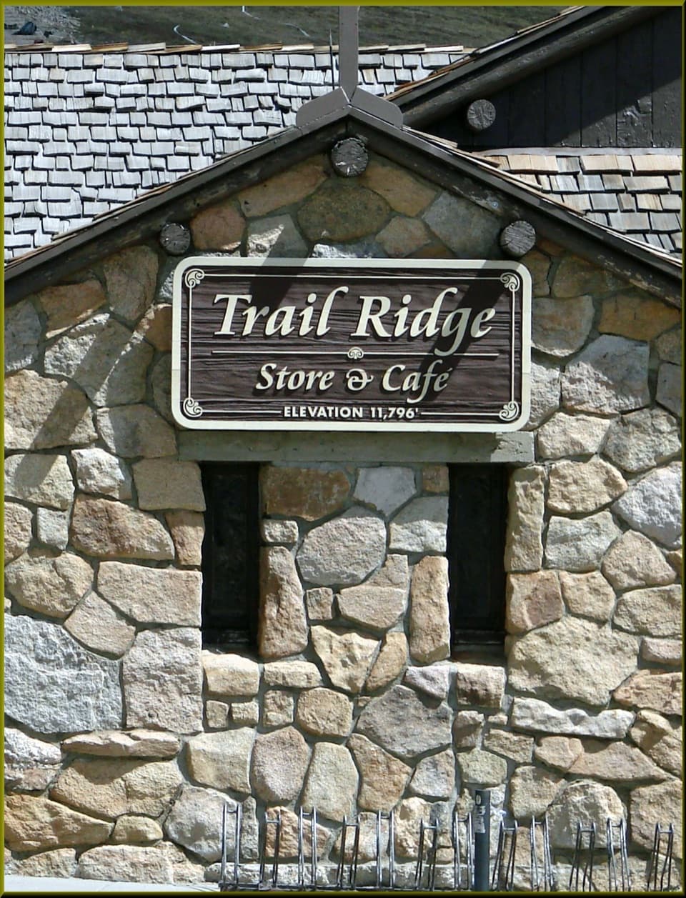 Food · 4.4 mi awayTrail Ridge Store & CaféA stone café and gift shop at Trail Ridge Road's high pass.Sight · 4.4 mi awayLake IreneA quick lakeside loop and picnic stop on Trail Ridge Road.
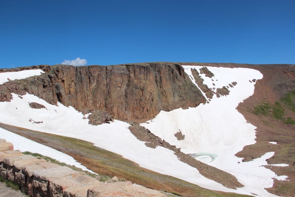 Sight · 5.2 mi awayLava Cliffs OverlookA rare lava exposure beside Trail Ridge Road.
Parkwolf’s Rocky Mountain ranking

The audio tour guide for the drive, plus offline maps, trails, and wildlife heatmaps for when the signal drops.




