Parking
Start at the Ute Crossing pullout on Trail Ridge Road, about 10 miles west of Deer Ridge Junction. Spaces are limited; a second, smaller pullout is about a quarter-mile farther along the road.

Rocky Mountain National Park, CO
Long tundra views on a gentle trail to Timberline Pass.
Overview
Map & elevation
Plan your hike

The highest, rockiest slopes around here are a summer buffet for grizzly bears.
Rocky Mountain Tour Guide
Parkwolf is a GPS audio tour guide for Rocky Mountain National Park. As you drive, it chimes in with what’s ahead: hidden gems, upcoming stops, history, geology, and wildlife, right through your car’s speakers.
See the Rocky Mountain audio tourRecorded for this trailhead
Ute Crossing: An Open Tundra Walk“Ute Crossing is coming up, the start of an open tundra walk with views into Forest Canyon.”
Plays as you drive up to this trailhead in the Parkwolf Rocky Mountain Tour Guide.
More stories near here in the app
“…No cell service for majority of the day but had continuous access to the app - the maps, the tour guide as you drive is amazing. Highly recommend purchasing the subscription.”


Trail guide
Ute Trail East is a 3.9-mile out-and-back from Ute Crossing to Timberline Pass, with about 400 to 450 feet of climbing. The grade is mostly gentle, but the trail starts around 11,430 feet, so give it about two hours and count the altitude as part of the effort. It is a good choice if you want wide alpine views without a long climb; it is a poor fit if you need shade or weather shelter.
The path rises briefly from the pullout, levels, then climbs again around the first mile to its high point near 11,660 feet. It gradually descends toward Timberline Pass, roughly 1.8 to 1.9 miles from the start. A prominent rock outcrop signals the saddle and the usual turnaround. Return on the same trail. Ute Trail continues beyond the pass into Windy Gulch toward Beaver Meadows, but that steep extension is a different, longer outing.
Forest Canyon, Hayden Gorge, Terra Tomah Mountain and the Continental Divide are visible early. After the high point, Longs Peak rises to the south, with the Big Thompson River and Forest Canyon below. Timberline Pass is a low saddle beside the outcrop, not a summit; the view opens down Windy Gulch toward forested foothills and Estes Park. The broad panorama begins well before the destination, so the walk still pays off if you turn back early.
There is no forest cover along this route. Rocky ground and scattered boulders cross the open alpine tundra, where the short, cold growing season keeps trees from taking hold. Wildflowers are most likely from late June into early August. A kiosk at Ute Crossing describes Ute and Arapaho travel along historic east-west routes between the plains and mountain hunting grounds.
The whole walk is above treeline, roughly 11,400 to 11,660 feet, with little shelter from strong sun, wind or sudden storms. Afternoon thunderstorms are common in summer; an early start gives you more room to turn around if clouds build. Start at the Ute Crossing pullout on Trail Ridge Road, about 10 miles west of Deer Ridge Junction; parking is limited, with a second small pullout farther along the road. Trail Ridge Road closes seasonally, usually from mid-October until late May, weather permitting, so check its status before driving. Pets are prohibited on park trails and tundra.
Wildlife
 3,124 sightingsElkMost seen around 6 PMSighting map
 1,601 sightingsMooseMost seen around 7 PMSighting map
 19 sightingsMountain GoatMost seen around 7 AMSighting map
 19 sightingsBald EagleMost seen around 8 AMSighting map
 30 sightingsGolden EagleMost seen around 10 AMSighting map
 270 sightingsBighorn SheepMost seen around 11 AMSighting map
Sighting maps show where each species has been reported across Rocky Mountain. Wildlife moves, so no sighting is guaranteed.
Keep exploring
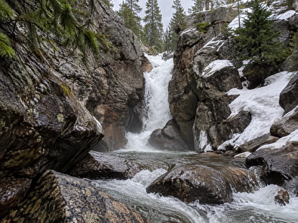 EasyChasm Falls Trail0.1 mi · 15 min · 2 mi awayForty rough steps lead to Fall River's narrow granite chute.
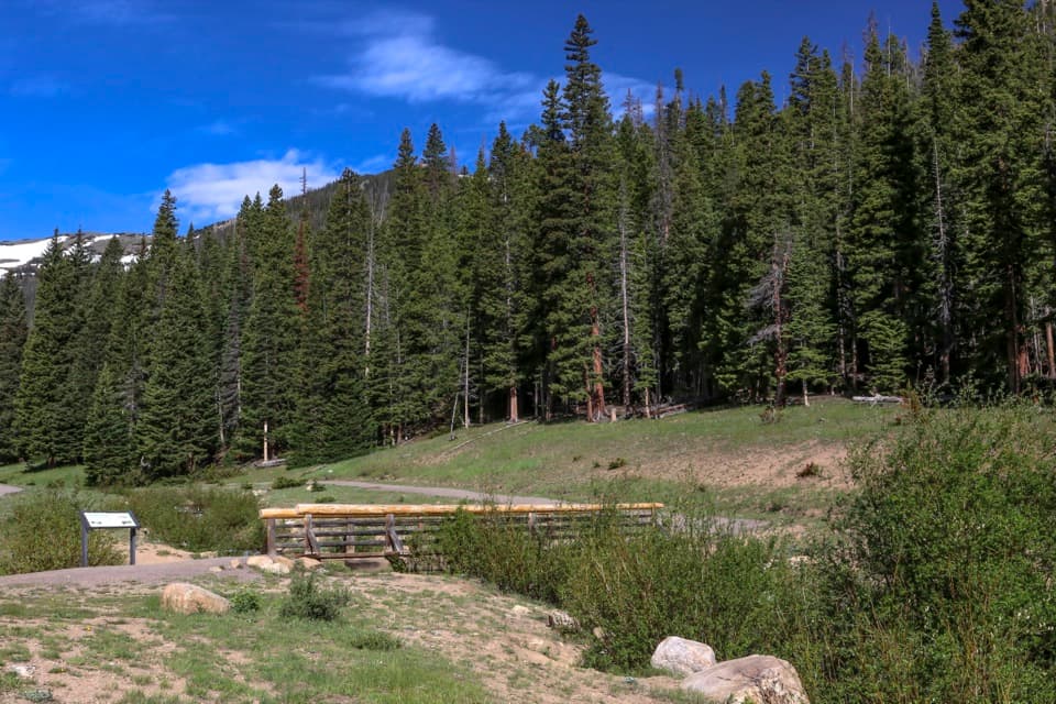 EasyHidden Valley Nature Trail0.5 mi · 30 min · 2.1 mi awayTwo footbridges make this short creekside loop worth a stop.
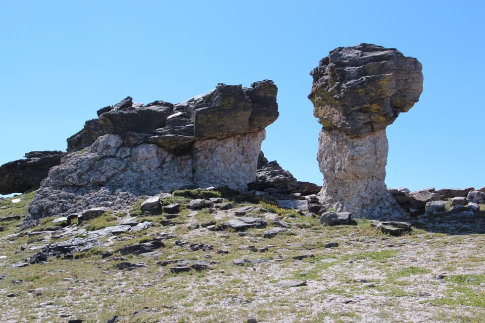 EasyTundra Communities Trail1.2 mi · 1 hr · 2.4 mi awayA short paved climb to a memorial among mushroom rocks.
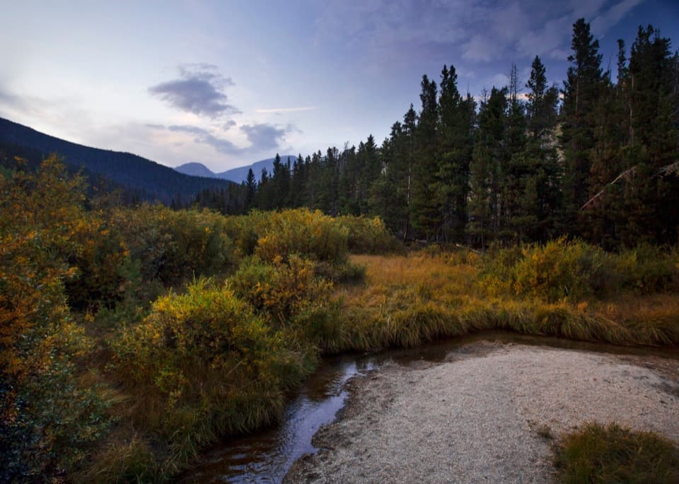 EasyBeaver Ponds Boardwalk0.2 mi · 15 min · 2.9 mi awayA short boardwalk into a wetland shaped by old beaver dams.
 EasyAlluvial Fan Trail0.4 mi · 30 min · 3.3 mi awayA bridge and waterfall on a trail shaped by a 1982 flood.
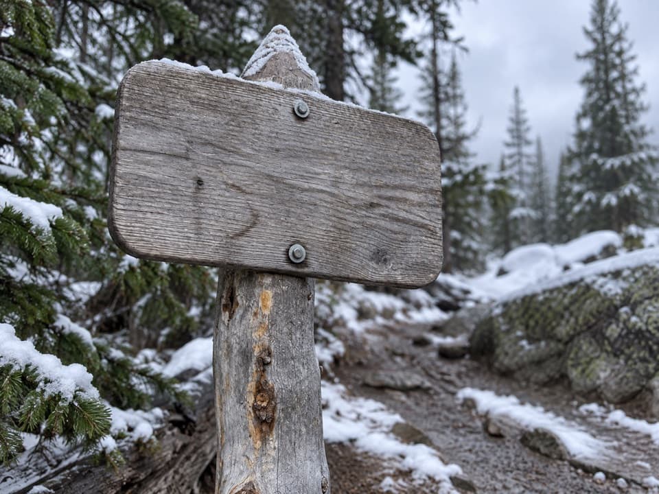 ChallengingChapin Creek Trail1.3 mi · 1.3 hr · 3.5 mi awayA steep creek path fades into a high mountain meadow.
 ChallengingLawn Lake Trail12.4 mi · 5.5 hr · 3.8 mi awayA hard climb to a lake in a valley remade by flood.
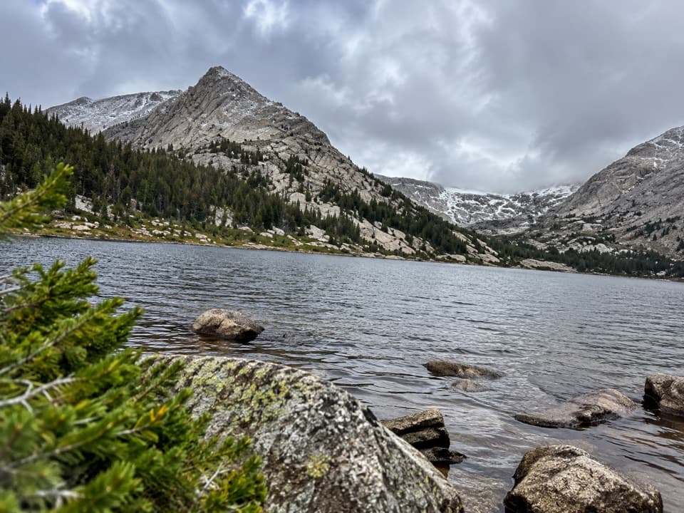 ChallengingCrystal Lakes Trail15.4 mi · 10 hr · 3.8 mi awayTwo alpine lakes below Mount Fairchild make for a very long day.
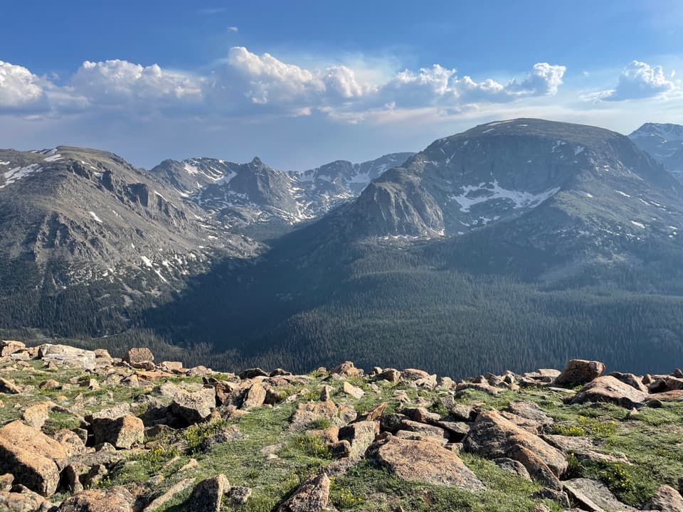 Sight · 1 mi awayForest Canyon OverlookFive minutes of walking reveals a canyon carved by ice.
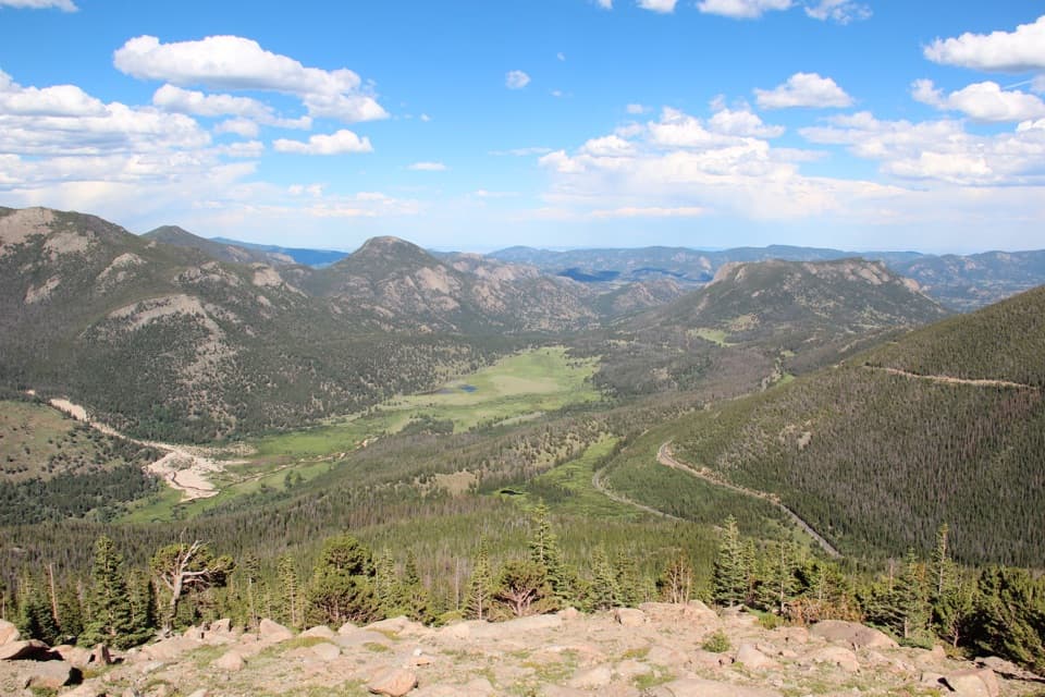 Sight · 1.8 mi awayRainbow Curve OverlookA quick stop above Horseshoe Park's broad, glacial valley.
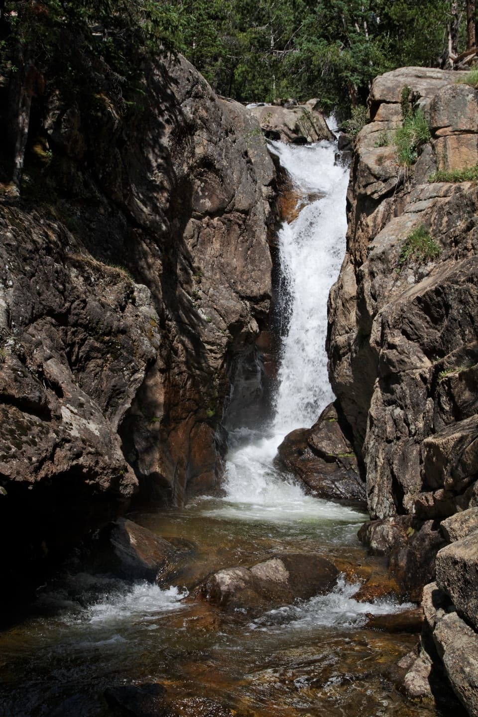 Sight · 2 mi awayChasm FallsA short walk to a waterfall tucked into a granite cleft.Sight · 2 mi awayHidden ValleyEasy sled runs on a former ski hill, plus a creekside walk.
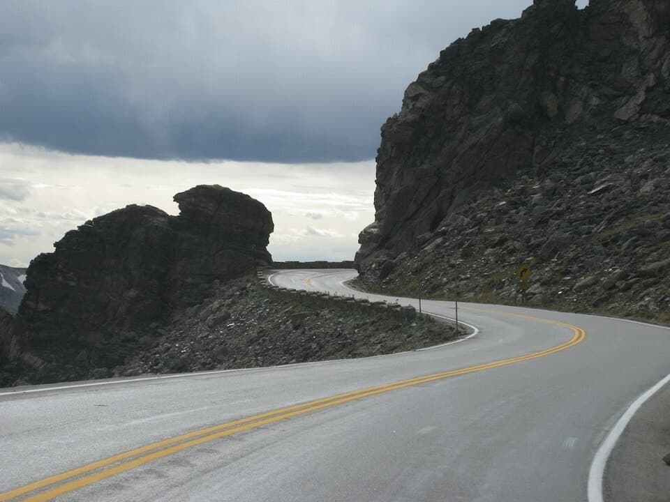 Sight · 2.4 mi awayRock CutA road cut through the tundra, with pikas among the rocks.
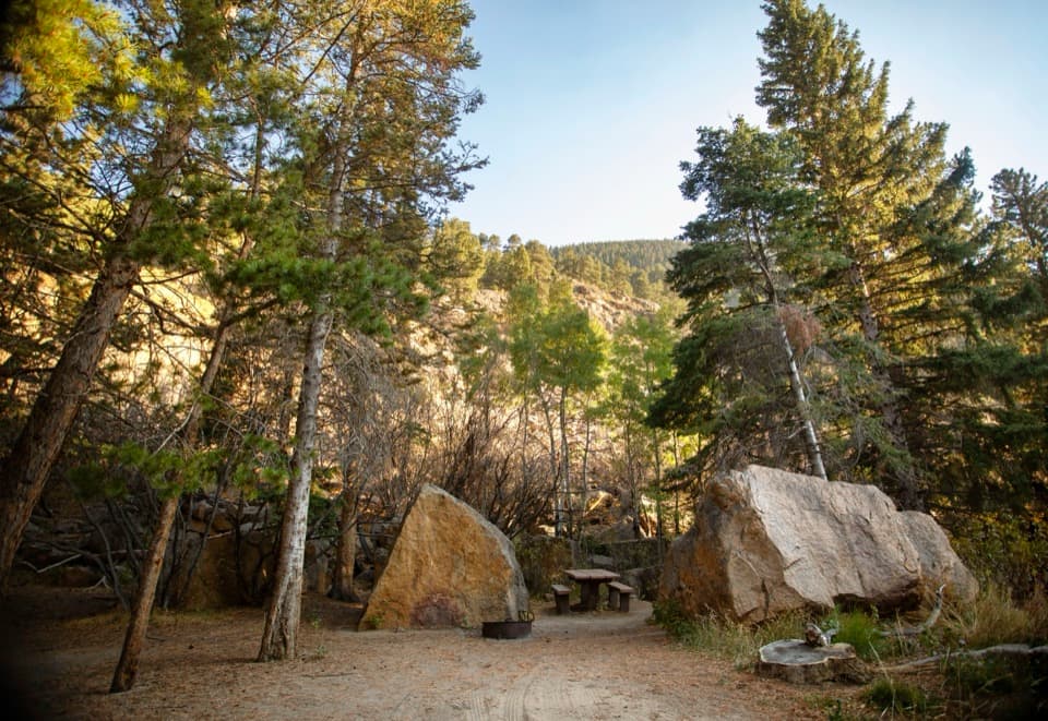 Picnic area · 2.4 mi awayEndovalley Picnic AreaA shaded picnic loop by the river at Old Fall River Road.Sight · 2.9 mi awayBeaver PondsA short boardwalk into a wetland shaped by old beaver dams.
 Sight · 3.4 mi awayMany Parks Curve OverlookThe lowland parks and Longs Peak line up from this roadside curve.
Parkwolf’s Rocky Mountain ranking

The audio tour guide for the drive, plus offline maps, trails, and wildlife heatmaps for when the signal drops.




