Parking
The signed car park is on the west side of Bundeena Drive; weekend spaces can be limited.
Royal National Park, NSW
Heath and creek pools make the coastal walk feel like two hikes.
Overview
This is a signed out-and-back from Bundeena Drive car park to Little Marley Beach: 7.8 km (4.85 mi) return, with 3–4 hours suggested. The reward is a changing half-day walk through bush and ridgetop heath, past freshwater pools and creeks, then out to a sweep of coast. The Grade 3 rating is useful: the path is formed and signposted, but expect short steep hills, many steps and some obstacles. It is a moderate bushwalk, not a flat beach stroll. The published distance includes the walk back to the car park.
 Parkwolf’s verdictIs the full walk for you?
Map & elevation
Plan your hike

The highest, rockiest slopes around here are a summer buffet for grizzly bears.
Royal Tour Guide
Parkwolf is a GPS audio tour guide for Royal National Park. As you drive, it chimes in with what’s ahead: hidden gems, upcoming stops, history, geology, and wildlife, right through your car’s speakers.
Recorded for this trailhead
Bundeena Drive Walk to Little Marley“Ahead is the Bundeena Drive start for the walk to Little Marley Beach, through heath and past Deer Pool. Allow three to four hours for nearly eight kilometres return, with plenty of steps and short, steep hills.”
Plays as you drive up to this trailhead in the Parkwolf Royal Tour Guide.
More stories near here in the app
“Fantastic app with many points of information… It’s great to just turn on while you’re driving and it gives you an audio tour of the national Park. We love it!!!!”


Trail guide
From the signed car park, the track winds through bush toward Deer Pool. The route passes freshwater pools and creeks, then continues across ridgetop heath to join Little Marley Trail. The ground is not described as technical, but the steps and short climbs make it slower than the distance alone suggests. Keep following the Marley signs after Deer Pool if Little Marley is your goal; the pool is an inland landmark, not the official turnaround. You can turn there for a shorter outing, though the park does not publish a separate distance or time for that version.
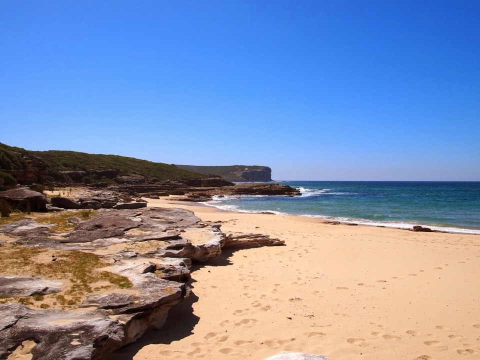
The last part opens to the coast and Little Marley Beach, a curved strip of sand below low headlands. This is the route’s destination; after a break, retrace the same path to your car. The arc of sand and the flat rock shelf make the best view from the beach. For a photo, frame the curve with the rock platform in the foreground. Little Marley is remote and unpatrolled, with strong currents and a steep drop-off; the park does not consider it a safe swimming beach, so make this a coastal walk rather than a swim stop.
The signed car park is on the west side of Bundeena Drive. From Audley, the park directs drivers across Audley Weir and along Sir Bertram Stevens Drive for about 10 km, then left onto Bundeena Drive for about 6 km; watch for the Marley signs. Weekend parking can be limited, so leave extra time to find a space. Bring drinking water, a hat and sunscreen. No toilets or drinking-water point are listed at this trailhead or on the route. Pets and other domestic animals are not allowed; certified assistance animals are the exception.
The 7.8 km figure is the park’s return distance to Little Marley Beach. The Parkwolf line follows the yellow route on the park’s overview PDF, because no downloadable GPS route or usable OSM line was available. The traced line measures about 3.5 km one way, shorter than half of the published total; the overview is schematic, and a short stretch is estimated where a map marker covers the line. Use the published distance for planning and follow the signs on the ground rather than treating this line as turn-by-turn directions. Big Marley Beach and the separate Marley Track circuit are different routes. Continuing north on the Coast Track toward Bundeena is an optional point-to-point extension only if you have arranged a pickup.
Wildlife
 56 sightingsHumpback WhaleMost seen around 11 AMSighting map
 68 sightingsWhite-bellied Sea-EagleMost seen around 9 AMSighting map
 12 sightingsKoalaMost seen around 6 PMSighting map
 33 sightingsJavan RusaMost seen around 6 PMSighting map
 69 sightingsShort-beaked EchidnaMost seen around 5 PMSighting map
 11 sightingsRed FoxMost seen around 5 PMSighting map
Sighting maps show where each species has been reported across Royal. Wildlife moves, so no sighting is guaranteed.
Keep exploring
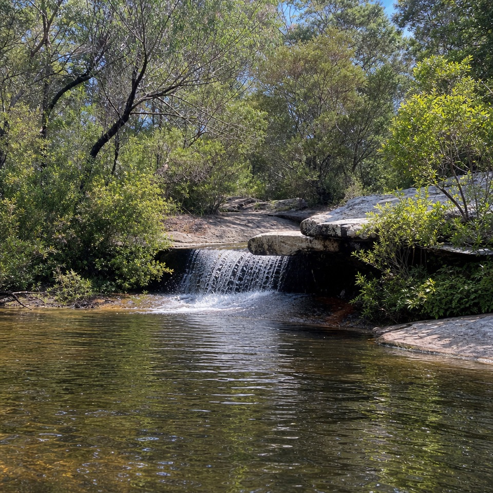 ModerateDeer Pools Walk4 km · 1.5 hr · At the trailheadA short heath walk to a shaded cascade and rock pool
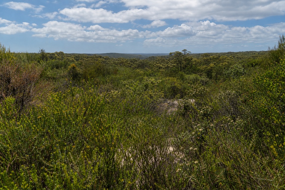 ModerateAnice Falls Walk4.1 km · 2 hr · 1.4 km awayA short return to a tucked-away waterfall best seen from above.
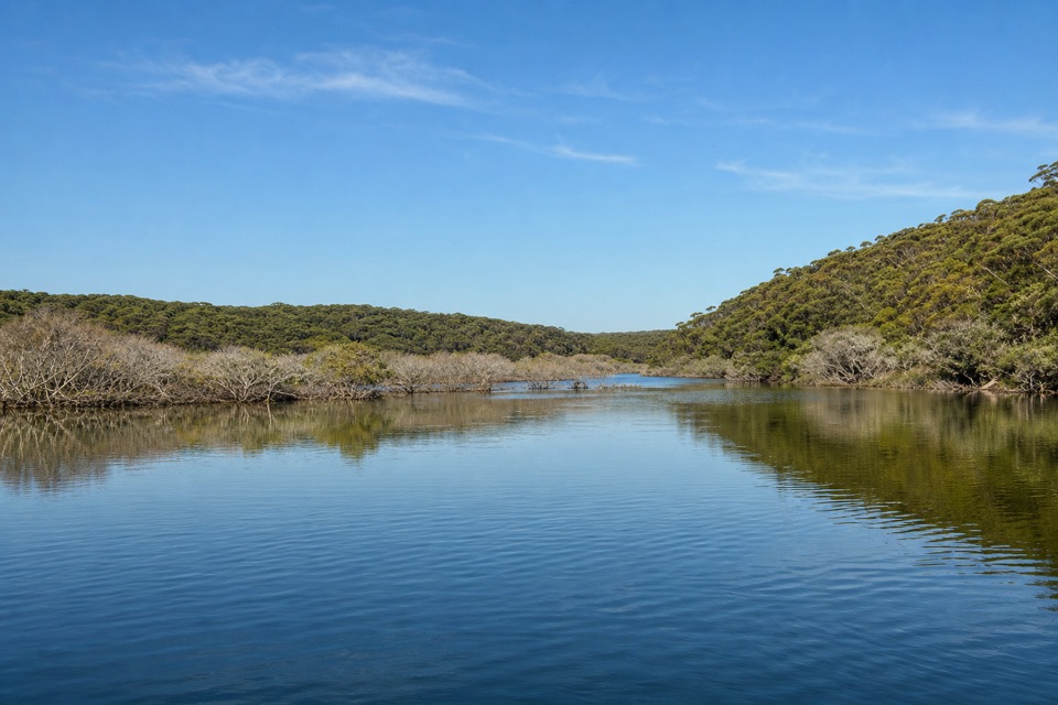 EasyCostens Point Walk2.5 km · 1.5 hr · 1.7 km awayA quick firetrail descent to old stone ruins by Port Hacking.
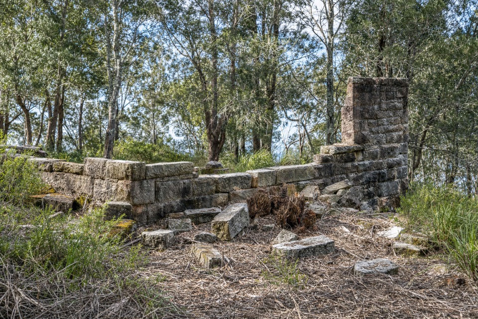 ModerateRed Jacks Point Walk2.1 km · 45 min · 2.2 km awayStone ruins and small islets reward a short bush walk.
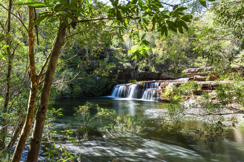 ChallengingMount Bass Trail to Winifred Falls7 km · 3.5 hr · 2.7 km awayA hard, rocky 7 km return to Winifred Falls
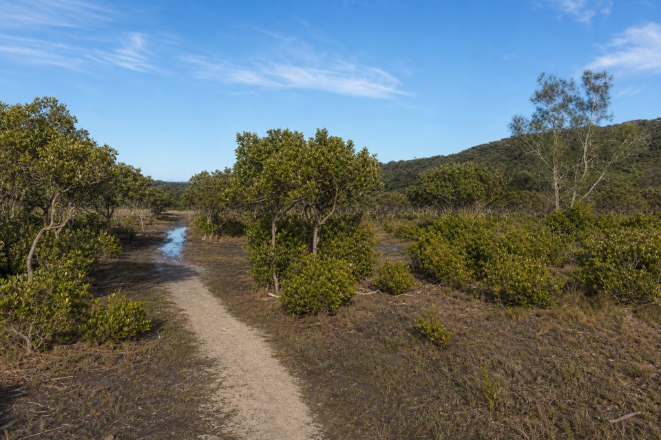 EasyBonnie Vale to Maianbar Walk1.5 km · 30 min · 2.8 km awayA quick creek crossing and bush climb to Maianbar.
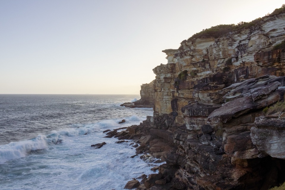 EasyProvidential Point Walk1.7 km · 45 min · 3.8 km awayA short coastal walk to a fenced lookout above the surf.
 ModerateWattamolla to Eagle Rock and Curracurrong Falls8.5 km · 3.5 hr · 3.8 km awayA coastal walk to falls that drop straight into the sea.
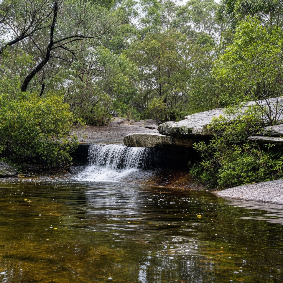 Sight · 1.7 km awayDeer PoolA small cascade and freshwater pool along the Marley walk.
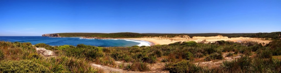 Beach · 2.7 km awayMarley BeachWalk in for the beach, then explore the broad dune field.
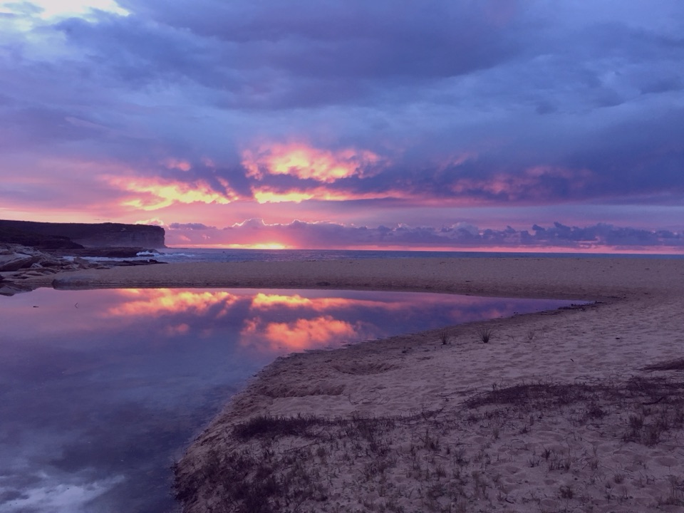 Beach · 2.7 km awayLittle Marley BeachA quiet beach that takes a real walk to reach.
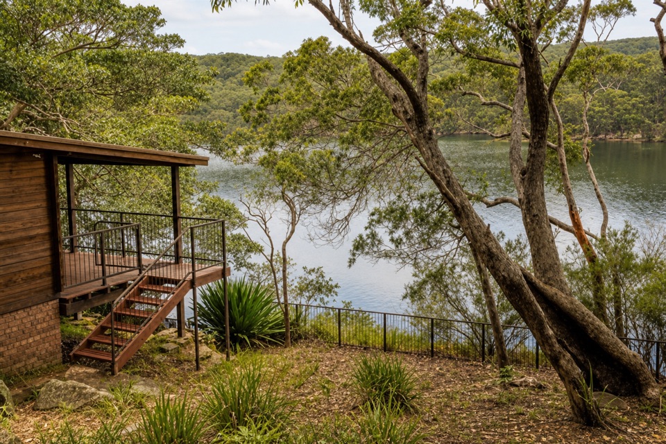 Lodging · 2.8 km awayWeemalah CottageA self-contained riverside stay for a group of up to six.
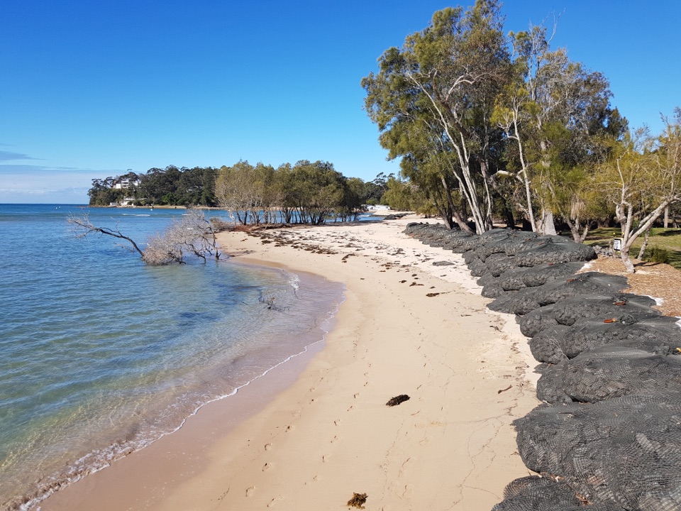 Campground · 2.9 km awayBonnie Vale CampgroundCamp beside a sandy spit with sheltered water right out front.
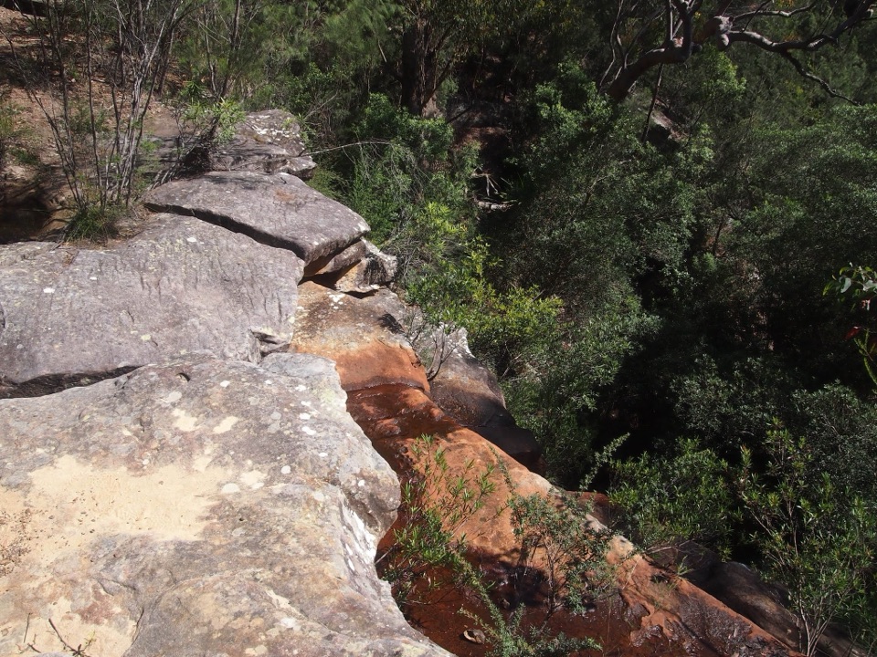 Sight · 3.1 km awayAnice FallsA smaller cascade for a longer Winifred Falls outing.
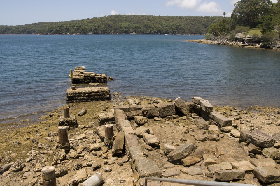 Picnic area · 3.2 km awayWarumbul Picnic AreaA quiet Port Hacking picnic with a short walk to the water.
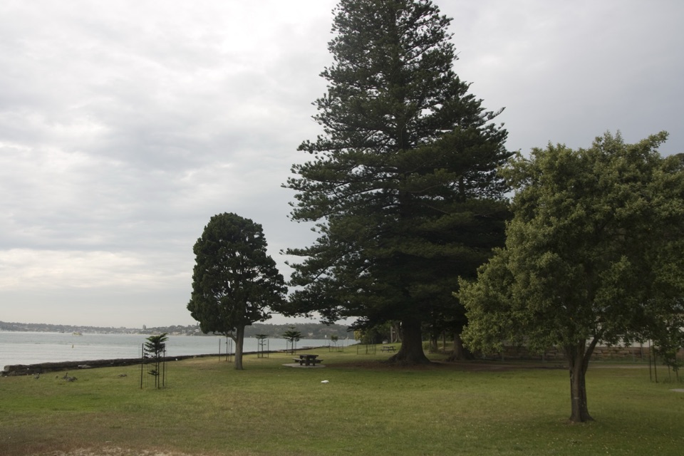 Picnic area · 3.3 km awayBonnie Vale Picnic AreaA shady picnic lawn beside sheltered water for swims and paddles.
Parkwolf’s Royal ranking
The audio tour guide for the drive, plus offline maps, trails, and wildlife heatmaps for when the signal drops.




