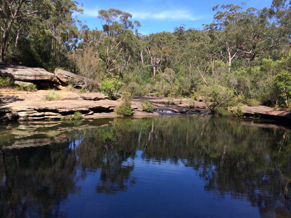
Parking
For the full Wharf-start distance, begin at Bundeena Ferry Wharf. Drivers can park in Bundeena near Loftus Street and join the walk closer to Jibbon Beach, shortening the town-street approach.

#3 of 69 trails in Royal
Royal National Park, NSW
A sandy beach, Dharawal engravings and a rugged headland in one loop.
Overview
Map & elevation
Plan your hike

The highest, rockiest slopes around here are a summer buffet for grizzly bears.
Royal Tour Guide
Parkwolf is a GPS audio tour guide for Royal National Park. As you drive, it chimes in with what’s ahead: hidden gems, upcoming stops, history, geology, and wildlife, right through your car’s speakers.
Recorded for this trailhead
Bundeena Waterfront and Horderns Beach“Bundeena's waterfront is ahead, with Horderns Beach beside the ferry wharf. Houses and coastal trees back the sand, making this a good place for an easy shore walk and a meal in the village.”
Plays as you drive up to this trailhead in the Parkwolf Royal Tour Guide.
More stories near here in the app
“Fantastic app with many points of information… It’s great to just turn on while you’re driving and it gives you an audio tour of the national Park. We love it!!!!”


Trail guide
Jibbon Loop Track is a coastal circuit from Bundeena Ferry Wharf to Jibbon Beach and the Dharawal engravings at Jibbon Head, then around the headland toward Shelley Beach before returning through scrub to the beach and town. The full Wharf-start route is about 5.2 km (3.2 mi) and usually takes around two hours. You get sand, a protected cultural viewing stop, open water and a rougher bush track in one outing. Most of the walk is straightforward, but the narrow, uneven headland section makes this more than a flat beach stroll. Dogs aren't permitted in the national park. Route descriptions that begin on Brighton Street measure about 5.0–5.1 km; the distance here includes the short Wharf-side connector.
Walk up Brighton Street from the ferry wharf and turn left onto Loftus Street. The last public toilets are on Loftus Street, before a small footpath drops to the beach; the approach takes about 15 minutes. Drivers can park in Bundeena near Loftus Street and join closer to the beach, which shortens the Wharf-start distance. The ferry crossing from Cronulla is about 20 minutes and sits outside the hiking time.
The route follows Jibbon Beach's pale crescent on soft sand. Near its eastern end, a midden of shells, tools and bone is described as about 3,000 years old, a record of long Dharawal use of the shoreline. At the far end, rocky outcrops open views across Port Hacking toward Cronulla. For a photo, include the curve of sand and the tree line rather than aiming only at the water; it shows the shape of the bay.
A slight climb leads to a grassy clearing with a small outdoor display of sculptures and Aboriginal stories, then to engravings in the sandstone. Whales and kangaroos are among the figures. The raised boardwalk and viewing platform were built to keep foot traffic off a site that had been wearing down. Stay on the platform. The markings can be weathered and hard to distinguish from above, so look slowly rather than stepping down to trace them.
Past the platform, the track swings along the coastal cliffs toward Shelley Beach, with views over small pale beaches and the open Pacific. This is the roughest stretch: narrow in places, sandy and rocky underfoot, with scrub and tall grass close to the path. Follow the route arrows where it bends inland. It rewards a careful pace; it isn't a good match for anyone who needs a smooth, level path.
The circuit leaves the cliff line for denser scrub and low tree cover, then a gate brings you back to the beach. Follow the sand and the same Bundeena access route back to the Wharf. Spring brings native flowers, and humpback whales may be seen offshore in cooler months; parrots and wallabies are also possible, not guaranteed. The raised platform and the beach are the natural places to pause, so leave enough time to look around rather than treating the two-hour estimate as a target.
Wildlife
 56 sightingsHumpback WhaleMost seen around 11 AMSighting map
 68 sightingsWhite-bellied Sea-EagleMost seen around 9 AMSighting map
 12 sightingsKoalaMost seen around 6 PMSighting map
 33 sightingsJavan RusaMost seen around 6 PMSighting map
 69 sightingsShort-beaked EchidnaMost seen around 5 PMSighting map
 11 sightingsRed FoxMost seen around 5 PMSighting map
Sighting maps show where each species has been reported across Royal. Wildlife moves, so no sighting is guaranteed.
Keep exploring
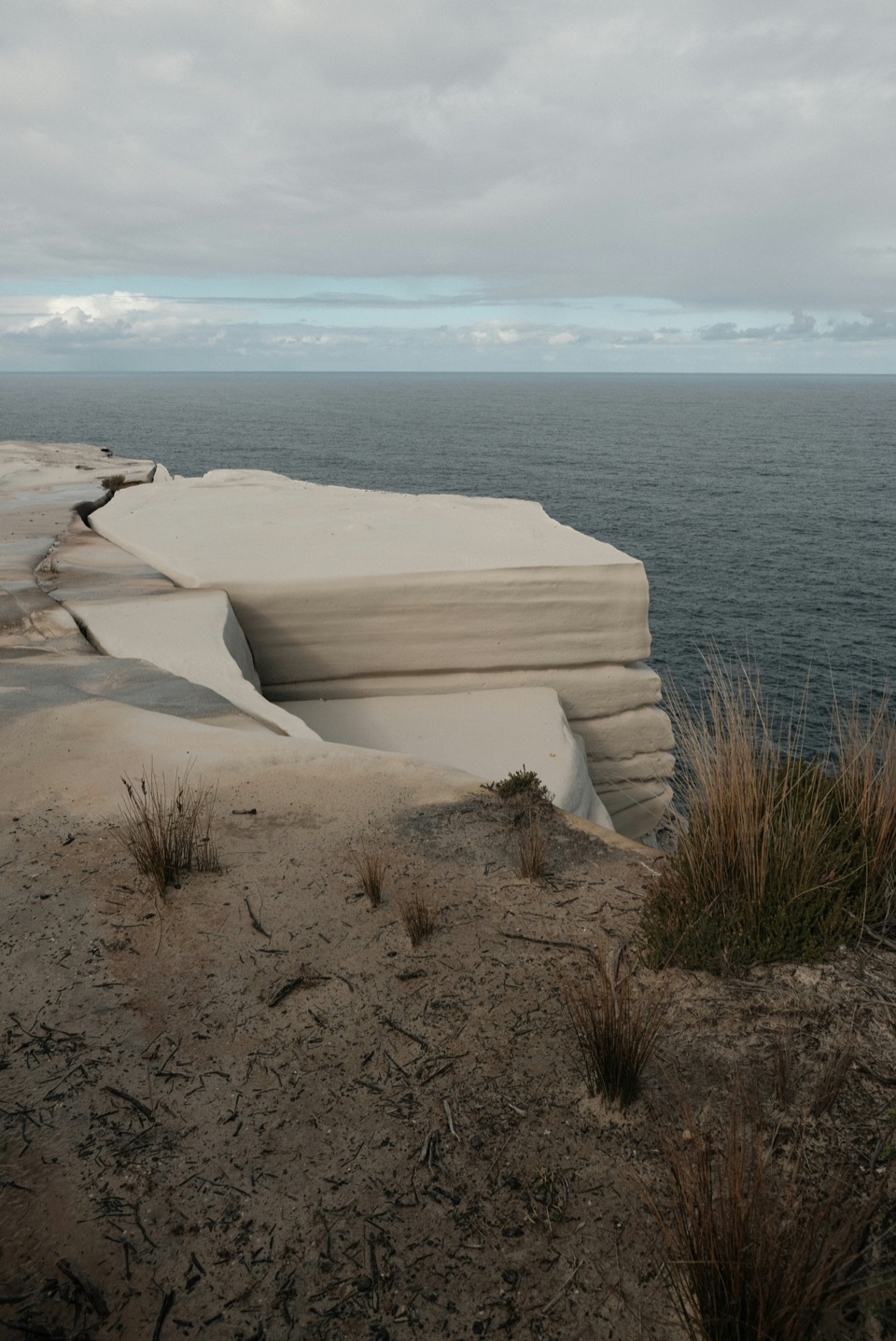 ChallengingGreat South Coast Walk Stage 01: Bundeena to Wollongong63 km · 20 hr · At the trailheadThree days from sandstone cliffs to the Wollongong waterfront.
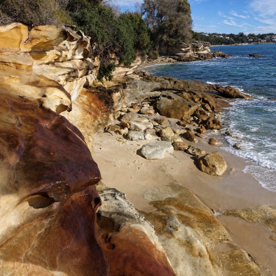 ModerateBundeena to Jibbon Head Circuit7.5 km · 2.5 hr · 0.1 km awayBeach, headland engravings and a quieter sandy return in one circuit.
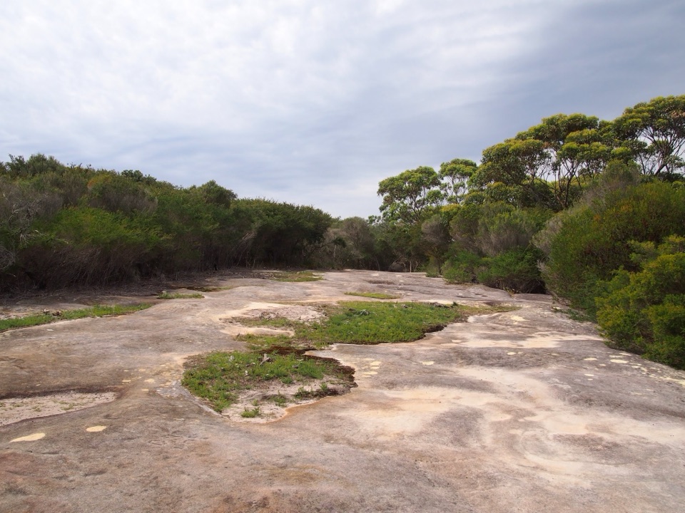 EasyJibbon Head Engravings Walk2.6 km · 1.3 hr · 0.8 km awayA beach walk to a whale carved in Dharawal sandstone.
 ModerateWedding Cake Rock Track5.6 km · 2.5 hr · 1.2 km awayCoastal walk to a fragile rock, viewed safely from behind the fence.
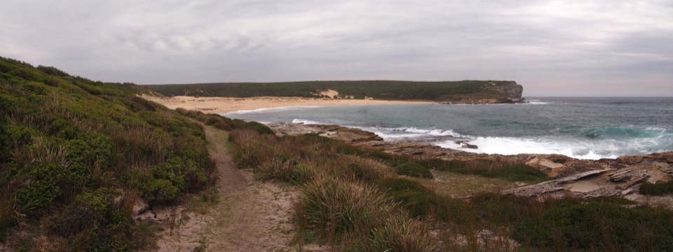 ModerateBundeena to Marley Beaches10.6 km · 3.5 hr · 1.2 km awayTwo remote beaches after a cliff-top walk through coastal heath.
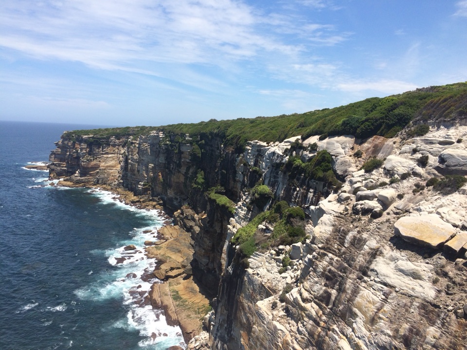 ModerateWedding Cake Rock and Big Marley Circuit7.7 km · 3 hr · 1.2 km awayCoastal cliffs, a sculpted sandstone shelf, and Marley beach views
 ChallengingThe Coast Track27 km · 10 hr · 1.2 km awayA 27 km coast crossing through beaches, cliffs and rainforest.
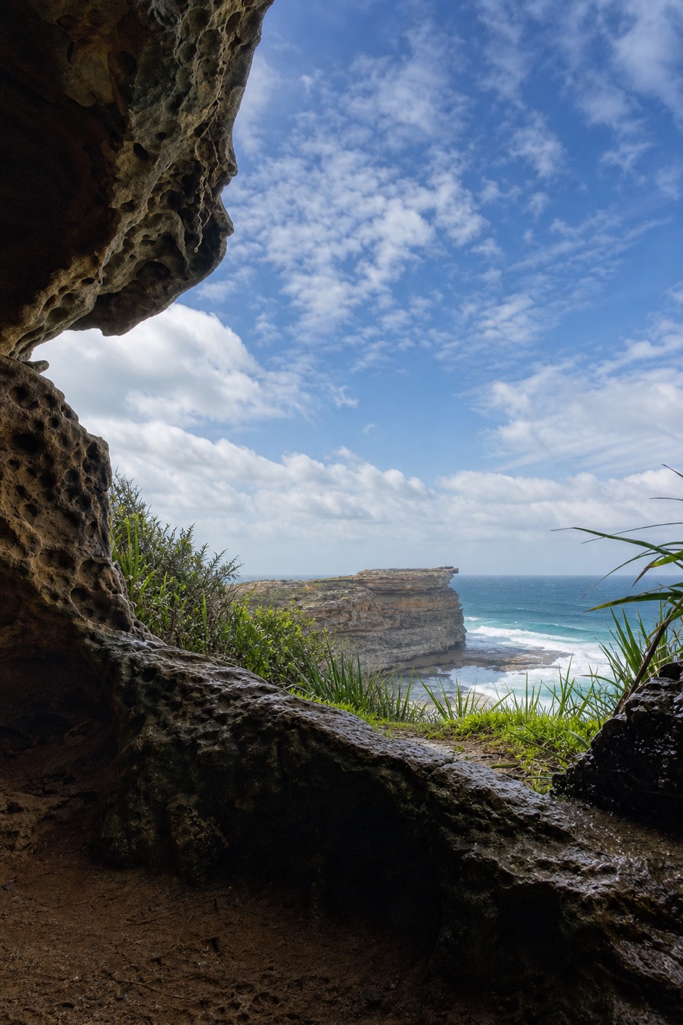 EasyFisherman’s Cave Walk2 km · 1 hr · 1.2 km awayA cliffside cave house with ocean views and an exposed finish
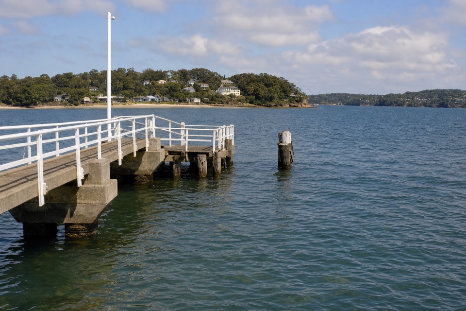 Sight · At the trailheadBundeena WharfA ferry landing for Jibbon walks and Dharawal rock engravings.
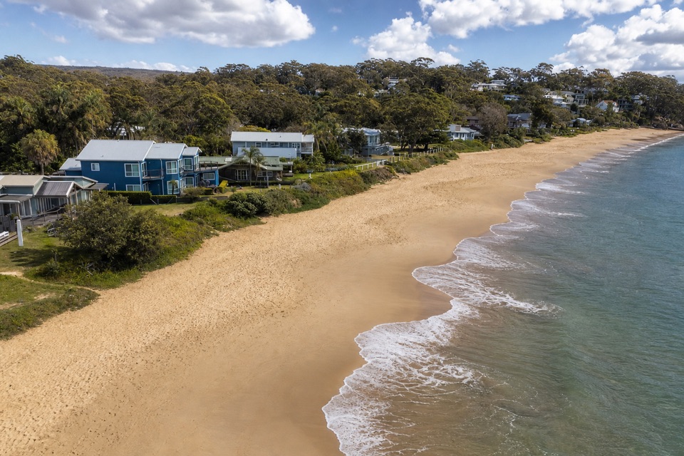 Beach · 0.2 km awayHorderns BeachBundeena's sandy waterfront, steps from the ferry and village.
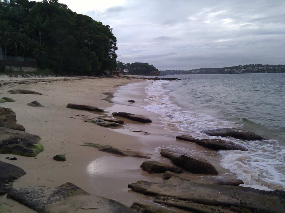 Beach · 0.4 km awayGunyah BeachA Bundeena beach of sand pockets and rocky shelves.
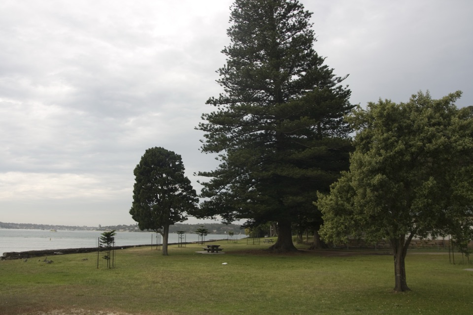 Picnic area · 0.9 km awayBonnie Vale Picnic AreaA shady picnic lawn beside sheltered water for swims and paddles.
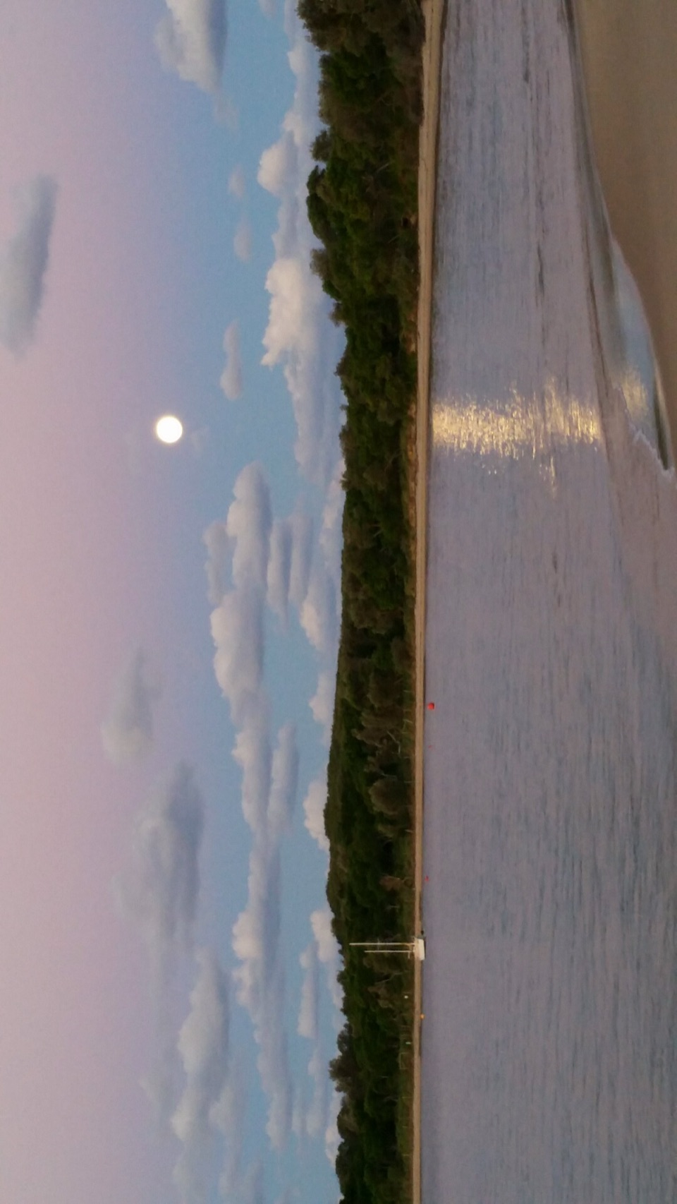 Beach · 1.1 km awayJibbon BeachAn 800-metre crescent, with a Dharawal cultural site beyond.
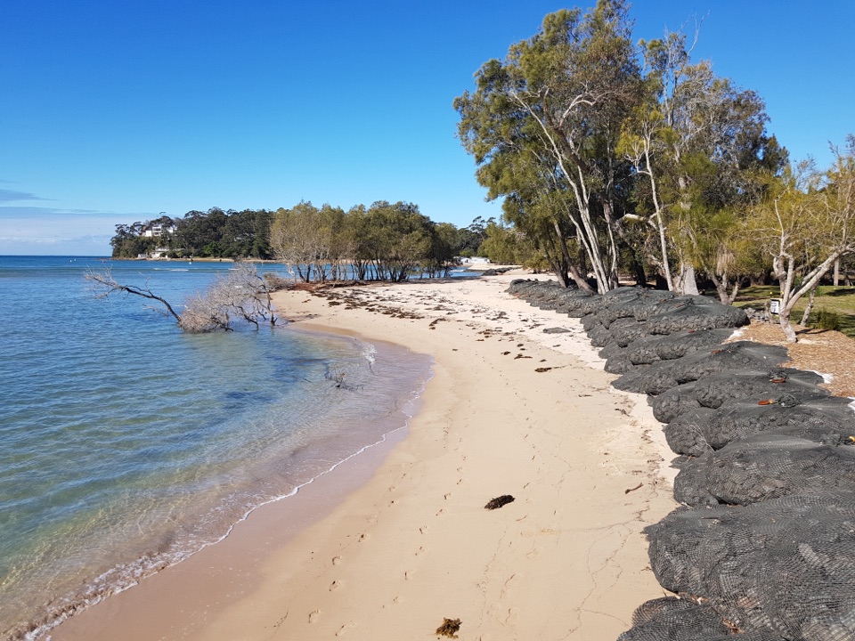 Campground · 1.4 km awayBonnie Vale CampgroundCamp beside a sandy spit with sheltered water right out front.
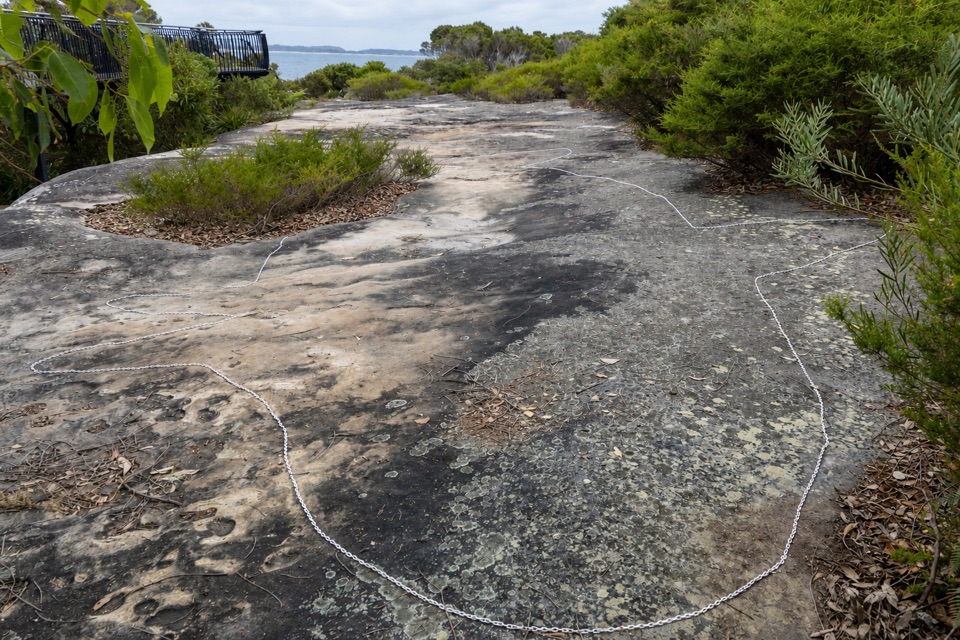 Sight · 1.6 km awayJibbon Rock EngravingsA beach-and-bush walk ends at a protected Dharawal engraving site.
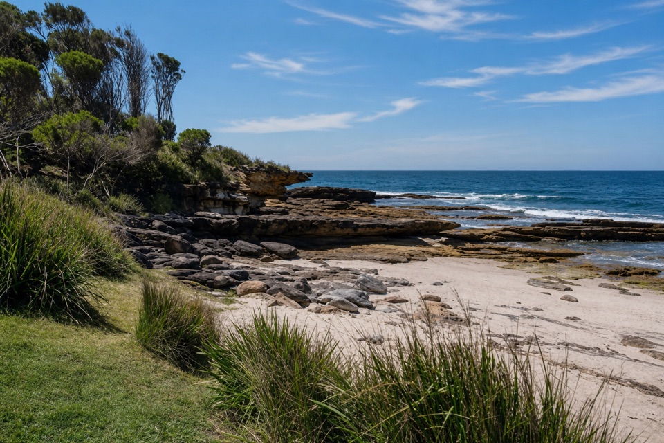 Beach · 1.8 km awayShelley BeachA quiet cove of sand and rock pools off Jibbon Head.
Parkwolf’s Royal ranking

The audio tour guide for the drive, plus offline maps, trails, and wildlife heatmaps for when the signal drops.