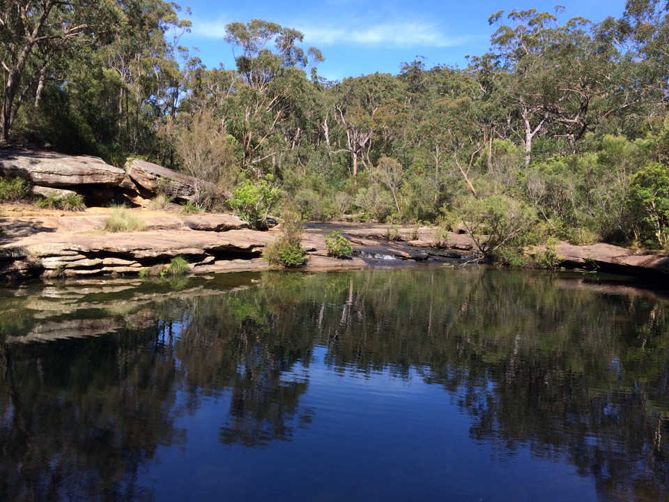
Parking
Start at Curra Moors Carpark, a small roadside lot off Sir Bertram Stevens Drive. From Waterfall, turn right about 1 km after Garie Road; from Audley, pass Wattamolla Road and watch for the carpark on the left. Spaces are limited.

#5 of 69 trails in Royal
Royal National Park, NSW
Heath, sandstone cliffs, and a waterfall that pours straight into the sea.
Overview
Curra Moors Loop Track is a 10 km (6.2 mi) circuit from Curra Moors Carpark through woodland and open heath to the coast, then back inland. Allow 4–5 hours, especially if you stop at the lookouts. It’s a good half-day walk if you want a mix of bush and cliffs; the coast is the payoff, but several connecting stretches are long and fairly plain.
 Parkwolf’s verdictIs this the full loop for you?
Map & elevation
Plan your hike

The highest, rockiest slopes around here are a summer buffet for grizzly bears.
Royal Tour Guide
Parkwolf is a GPS audio tour guide for Royal National Park. As you drive, it chimes in with what’s ahead: hidden gems, upcoming stops, history, geology, and wildlife, right through your car’s speakers.
Recorded for this trailhead
Curra Moors Heath and Coastal Loop“You're coming up on the Curra Moors trailhead, for a loop through woodland and open heath to the coastal cliffs near Curracurrong Falls.”
Plays as you drive up to this trailhead in the Parkwolf Royal Tour Guide.
More stories near here in the app
“Fantastic app with many points of information… It’s great to just turn on while you’re driving and it gives you an audio tour of the national Park. We love it!!!!”


Trail guide
The route starts under scribbly gums and angophoras, on a narrow track that drops through shallow gullies. After about a kilometre the trees give way to open heath, and you get your first distant sea views. This section is flatter and smoother than the opening, but much more exposed. In spring the heath can be bright with waratahs and hakeas; don't expect the open stretches to stay shady.
Curra Brook crosses the sandy track before the Curra Moors South and North routes separate. The brook can be wet underfoot, and the track gets boggy after rain. Check your map where the named tracks split; several branches lead to different parts of the park, and the wrong turn can take you away from this loop.
The route reaches the Coast Track near Curracurrong Falls, where heath opens onto sandstone cliffs and ocean views. Curracurrong is one of the rare waterfalls that runs straight into the sea. A short detour reaches Eagle Rock, with an early view over the rock and top of the falls; continue a little farther if you want a fuller look. From the established lookout, leave a strip of sandstone in the foreground to show how the cliffs meet the water, and stay well back from the edge.
The coastal section includes exposed cliff-top path and elevated metal boardwalk, then turns inland onto a broad fire trail through heath. That return is easier to walk but less varied, and some visitors find it repetitive. The full loop reconnects with the access track to the carpark. The steep descent to Garie Beach is an optional spur, not part of this circuit; adding it means climbing steeply back out.
The woodland and heath are part of the appeal between viewpoints. Watch for Lewin’s honeyeaters and eastern spinebills among the flowering trees and shrubs. Waratahs are a spring highlight, and Gymea lilies grow near the boardwalk. During humpback migration, roughly May to October, the coastal cliffs can be a good place to scan the water, though sightings are never guaranteed.
There’s little shade across the heath and coast, and no verified water refill or food stop on the route, so bring enough drinking water and sun protection for a long exposed walk. The creek crossings and sandy track are less pleasant after rain. Dogs aren’t allowed in the park.
Wildlife
 56 sightingsHumpback WhaleMost seen around 11 AMSighting map
 68 sightingsWhite-bellied Sea-EagleMost seen around 9 AMSighting map
 12 sightingsKoalaMost seen around 6 PMSighting map
 33 sightingsJavan RusaMost seen around 6 PMSighting map
 69 sightingsShort-beaked EchidnaMost seen around 5 PMSighting map
 11 sightingsRed FoxMost seen around 5 PMSighting map
Sighting maps show where each species has been reported across Royal. Wildlife moves, so no sighting is guaranteed.
Keep exploring
 ChallengingCurra Moors to Garie Beach9 km · 3.5 hr · At the trailheadA heathland walk that drops from the moors to Garie Beach.
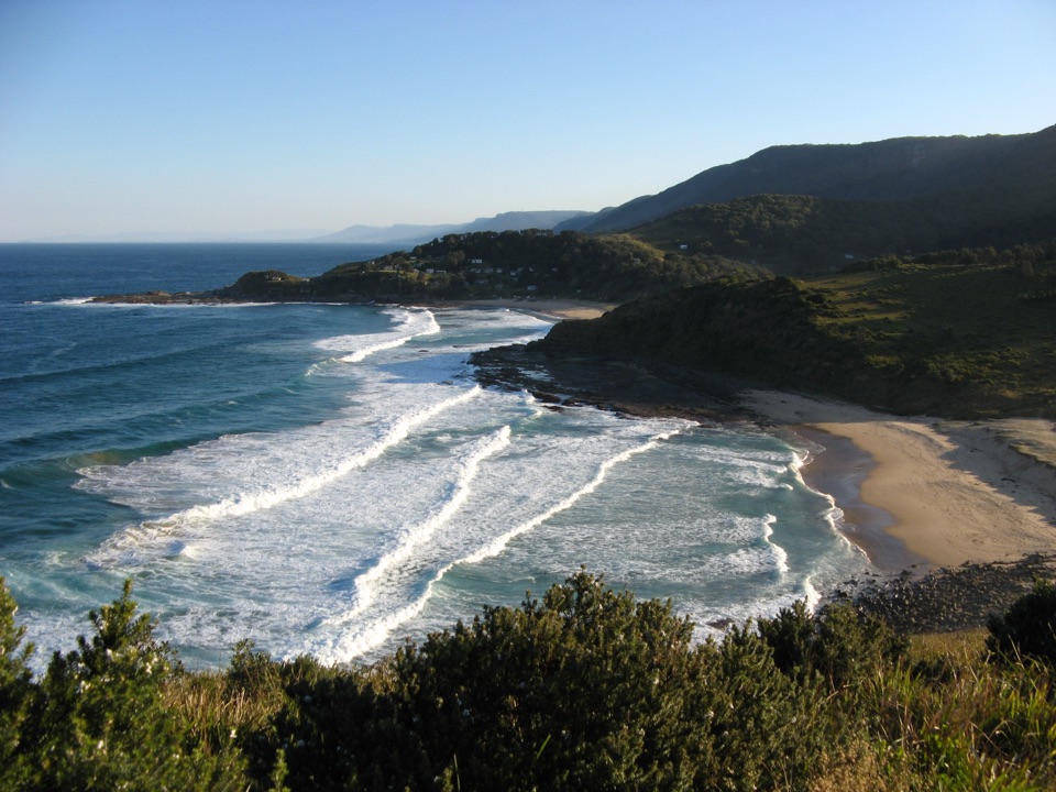 ChallengingGarie Road to Era Loop5 km · 2.5 hr · 1.1 km awayA steep coastal circuit from Garie Road to Era and Burgh Ridge.
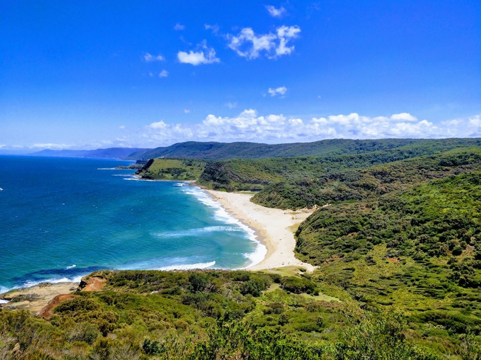 ChallengingStockyard Spur to Garie Beach Walk3.5 km · 1.3 hr · 1.1 km awayA short ridge walk links coastal shacks, coves, and Garie Beach.
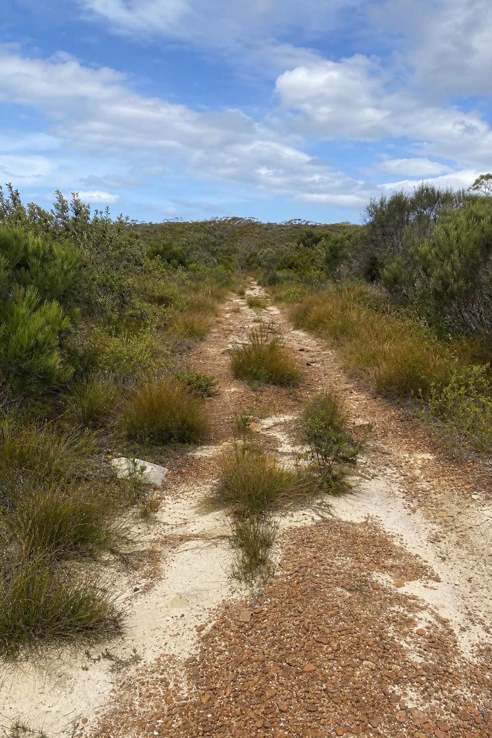 ModerateWallumarra Track to Bola Creek Walk4.7 km · 1.5 hr · 1.2 km awaySand, stone steps, then a shaded walk beside Bola Creek.
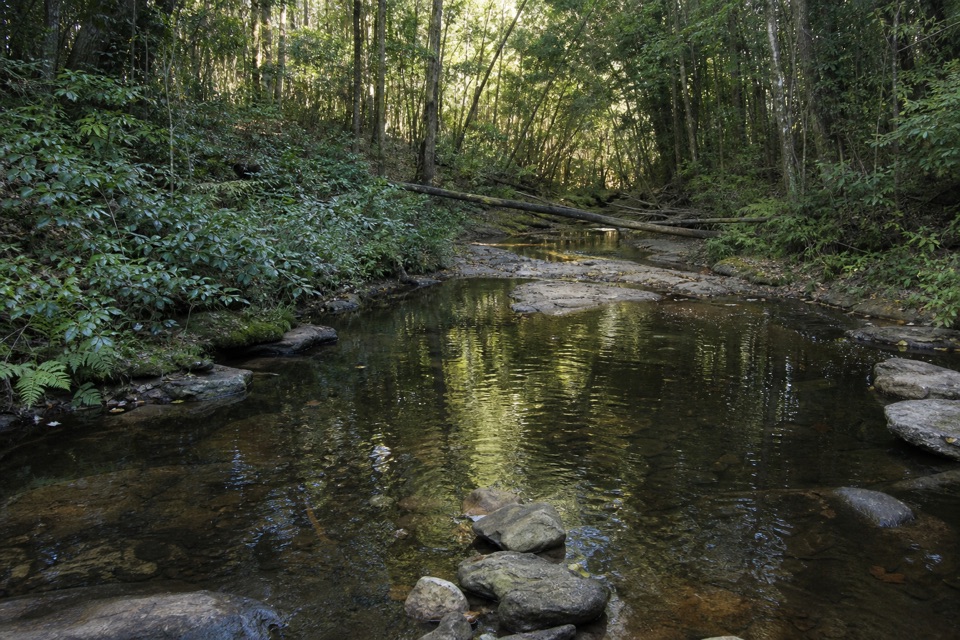 ModerateWallumarra Track and Forest Path Circuit12.5 km · 4.5 hr · 1.2 km awayRidge heath gives way to a palm-lined loop beside Bola Creek.
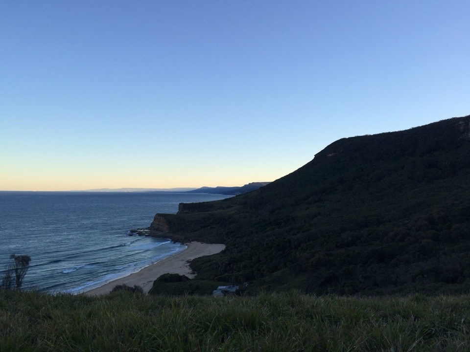 ChallengingGarie Beach, Garawarra and Burning Palms Circuit13.5 km · 7 hr · 1.2 km awayA hard coastal loop from Garie Beach to Burning Palms
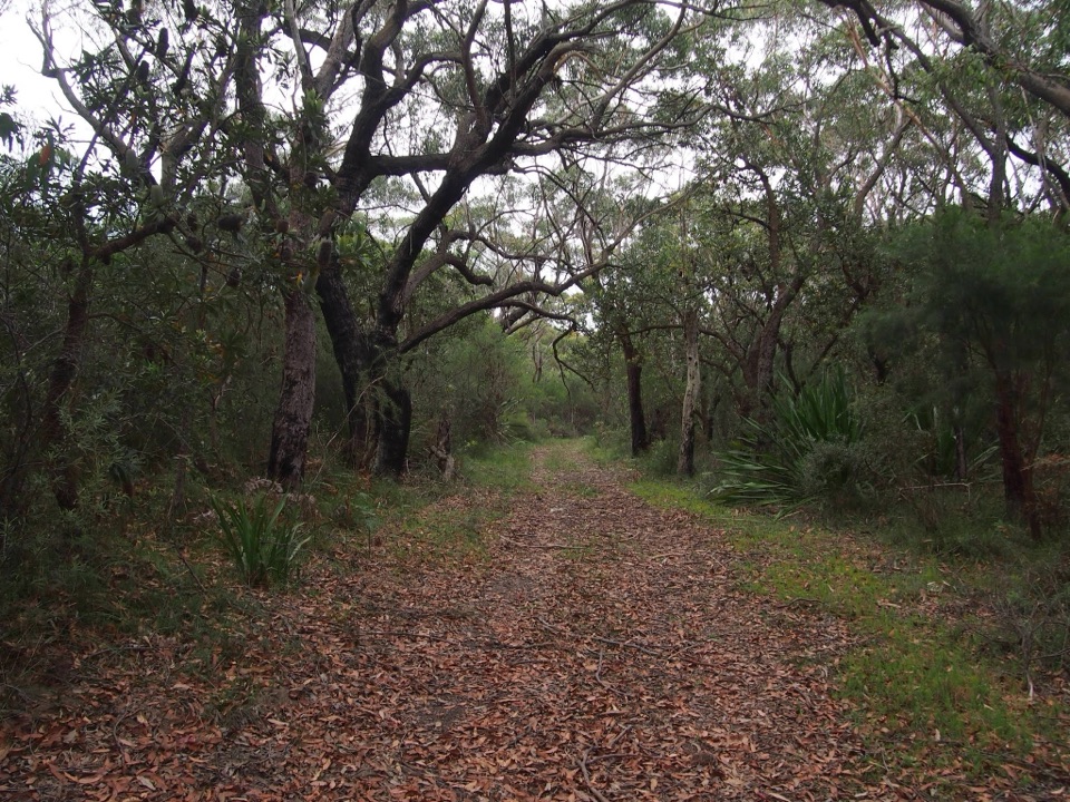 ChallengingGarie Beach to Helensburgh via The Burgh Track10.3 km · 4.5 hr · 1.2 km awaySea cliffs, a hard climb, and a finish at the station.
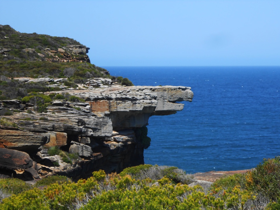 ModerateGarie Beach to Eagle Rock8.6 km · 3.5 hr · 1.3 km awayFind an eagle profile and an ocean waterfall at the far end.
 Sight · 1 km awayGovernor Game LookoutA wide coastal pause on the road to Garie Beach.
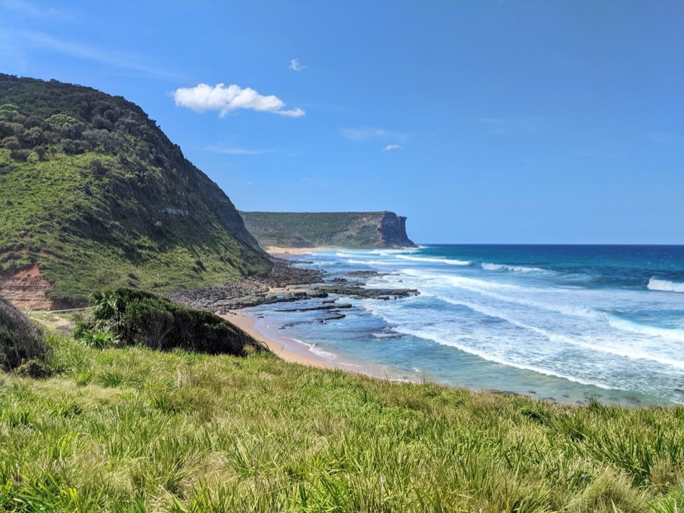 Beach · 1.5 km awayGarie BeachA kilometre of sand beneath green cliffs and headlands.
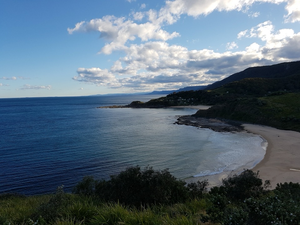 Beach · 1.8 km awayNorth Era BeachA remote surf beach reached by a 90-minute Coast Track walk.Beach · 2.2 km awaySouth Era BeachA walk-in shore with a rare, tightly clustered cabin community.
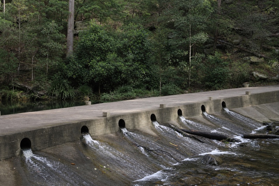 Picnic area · 2.8 km awayUpper Causeway Picnic AreaA quick picnic pause before a forest walk or bike ride.
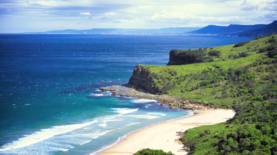 Beach · 3 km awayBurning Palms BeachA walk-in beach framed by rugged headlands.
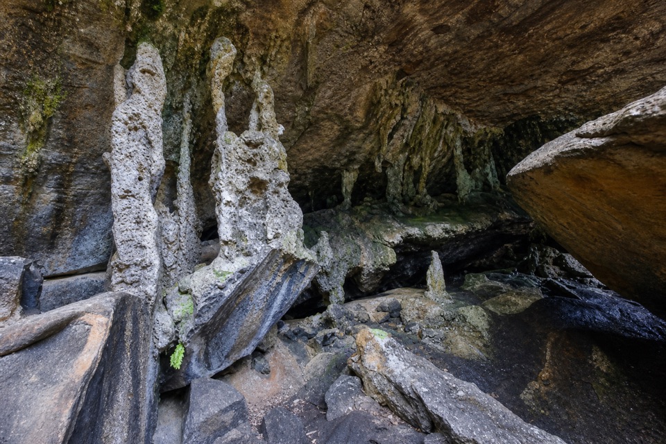 Sight · 3.2 km awayPalona CaveA shaded overhang and small waterfall reward a rainforest walk.
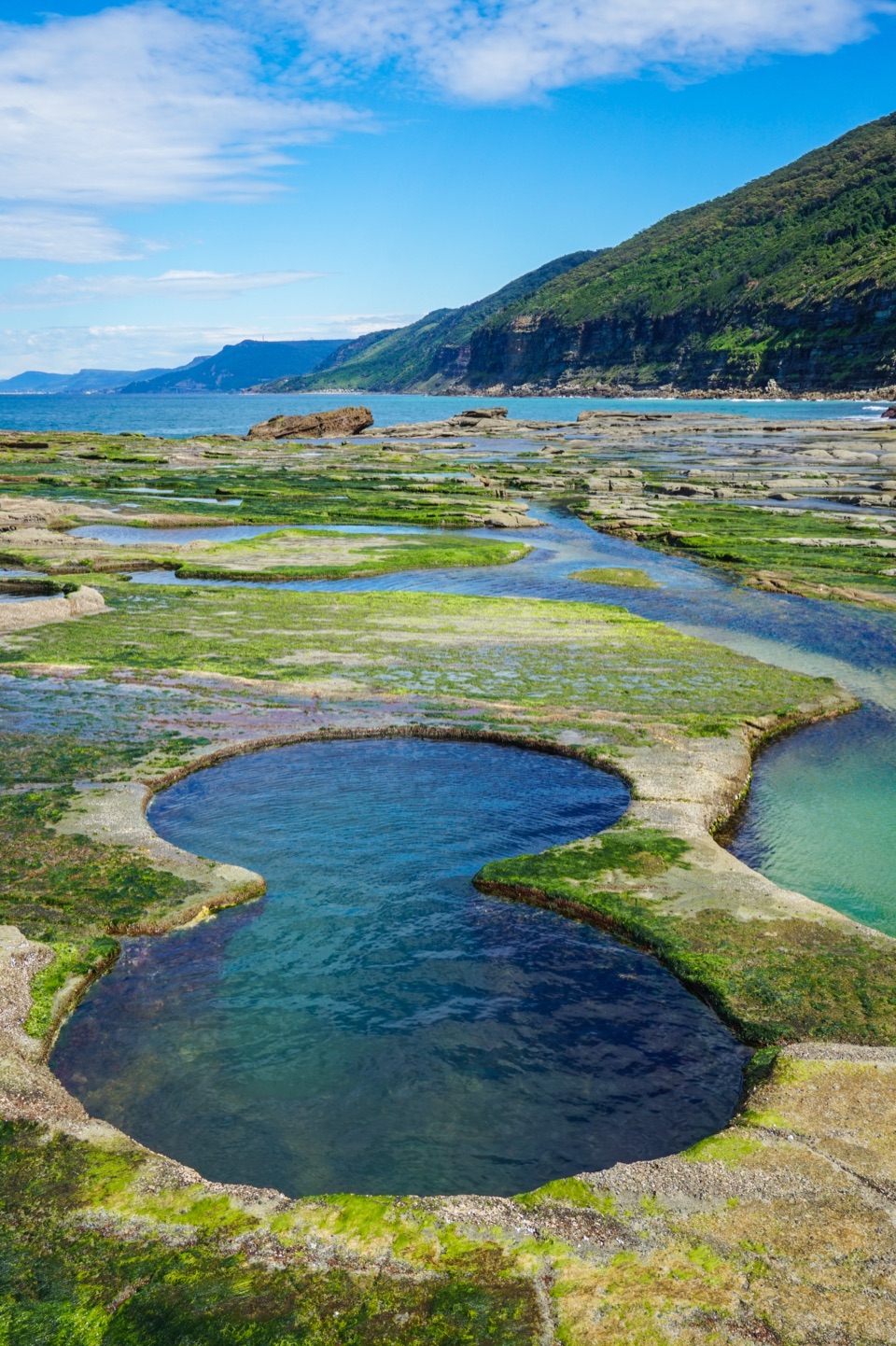 Sight · 4 km awayFigure Eight PoolsTwin-lobed pools at the end of a serious coastal hike.
Parkwolf’s Royal ranking
The audio tour guide for the drive, plus offline maps, trails, and wildlife heatmaps for when the signal drops.