Parking
Use the Box Canyon / Picture Rocks Road lot. Heading east, it is on the left at the road bend and can be easy to miss; cross the road to the signed wash entrance. The closest restrooms are at Cam-Boh Picnic Area, a separate stop.
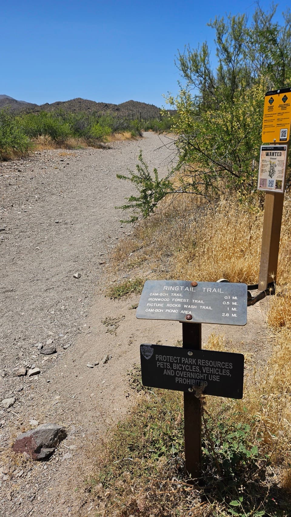
Saguaro National Park, AZ
A varied cactus-country loop with one sandy wash to work through.
Overview
Map & elevation
Plan your hike

The highest, rockiest slopes around here are a summer buffet for grizzly bears.
Saguaro Tour Guide
Parkwolf is a GPS audio tour guide for Saguaro National Park. As you drive, it chimes in with what’s ahead: hidden gems, upcoming stops, history, geology, and wildlife, right through your car’s speakers.
See the Saguaro audio tourRecorded for this trailhead
Box Canyon and Ringtail Loop“Box Canyon and Ringtail Trailhead is ahead, the start of a varied loop through cactus scrub, a sandy wash and a small rocky cut.”
Plays as you drive up to this trailhead in the Parkwolf Saguaro Tour Guide.
More stories near here in the app
“Fantastic app with many points of information… It’s great to just turn on while you’re driving and it gives you an audio tour of the national Park. We love it!!!!”


Trail guide
Ringtail Loop is a 3.4-mile lollipop loop from the Box Canyon / Ringtail trailhead, linking the Ringtail, Picture Rocks Wash, Ironwood Forest and Cam-Boh trails, with about 380 feet of cumulative climbing. It has enough change to hold your attention—cactus scrub, a sandy wash, a small rocky cut and open mountain views—but the wash slows you down. Allow about three hours with breaks and start early on warm days. Pets aren't allowed on this trail.
Cross Picture Rocks Road into the signed wash; Pictured Rocks sit off to your left on the early stretch. At the first fork, stay left on Ringtail; around 0.4 mile in, pass the Mule Deer branch on your right without taking it. At about 1 mile, turn right onto Picture Rocks Wash. After the rocky outcrop, turn right onto Ironwood Forest; around 3 miles in, Cam-Boh leads back to Ringtail and the short access spur to your car. The 3.4 miles includes that approach and return.
The route alternates between defined dirt track and sandy wash. Sand takes more effort than the distance suggests, and the low wash has only occasional Palo Verde shade. The rocky outcrop makes a good pause; after it, Ironwood brings you back onto firmer ground with views over cactus and nearby mountains.
The name has a local connection: ringtails are secretive raccoon relatives, Arizona's state mammal, that den in rocky crevices and caves. They're rarely seen, so treat one as a bonus. A spring visit may add yellow whitestem paperflowers and saguaro blossoms, which usually appear from April through June.
Wildlife
 19 sightingsBlack BearMost seen around 6 AMSighting map
 56 sightingsMountain LionMost seen around 6 AMSighting map
 266 sightingsMule DeerMost seen around 6 PMSighting map
 113 sightingsCollared PeccaryMost seen around 6 PMSighting map
 53 sightingsBobcatMost seen around 6 AMSighting map
 127 sightingsCoyoteMost seen around 6 PMSighting map
Sighting maps show where each species has been reported across Saguaro. Wildlife moves, so no sighting is guaranteed.
Keep exploring
 ModeratePicture Rocks Wash Loop3.4 mi · 3 hr · At the trailheadA 3.4-mile loop linking Ringtail, Picture Rocks Wash and Ironwood Forest
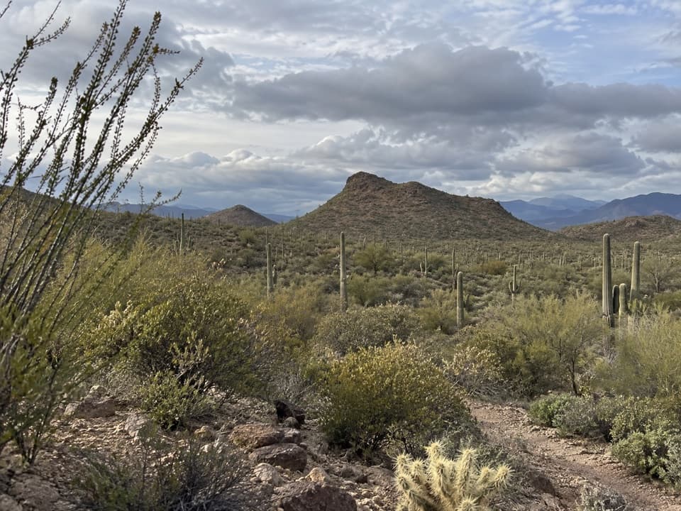 ModerateCoyote Pass Loop6.5 mi · 3 hr · 0.4 mi awayA desert circuit links washes, saguaro slopes and Tucson Mountain views.
 EasyPassey Loop Trail1.5 mi · 1.5 hr · 1.6 mi awayEasy desert loop with rocky ground and views toward Safford Peak.
 EasyScenic/Passey/Packrat Loop1.7 mi · 1.3 hr · 1.8 mi awayA rocky cactus loop climbs to a view across Tucson’s north side.
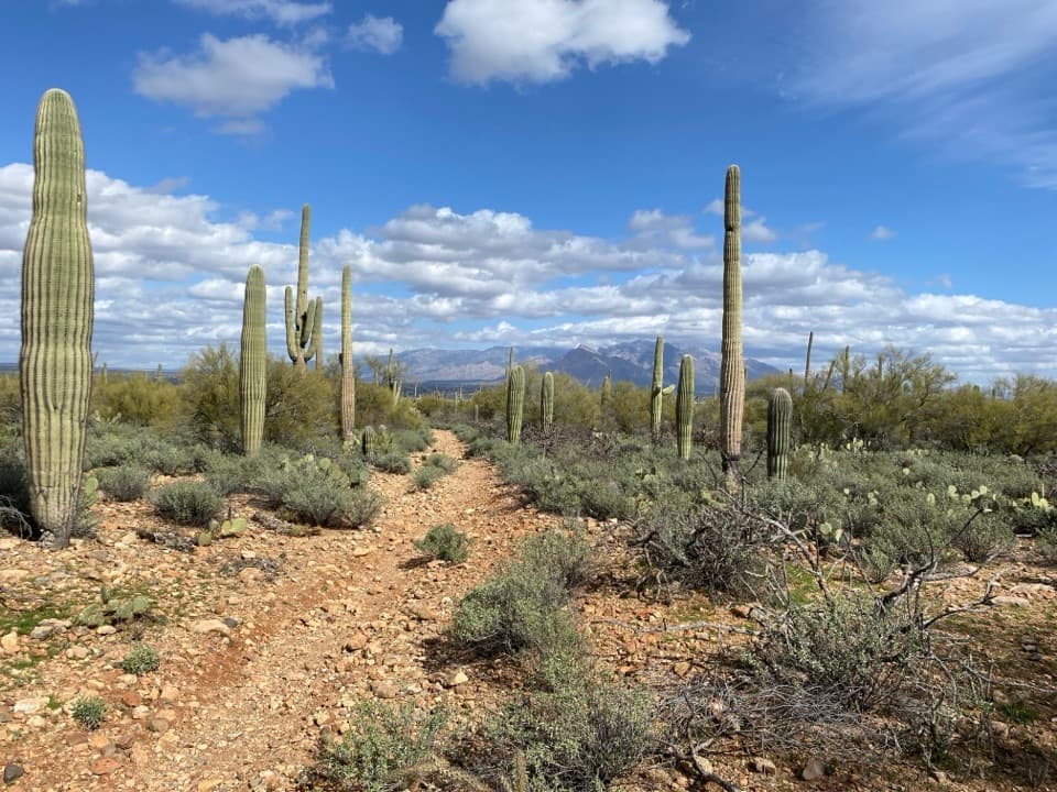 ModerateVertical Cliffs Long Loop3.9 mi · 2.3 hr · 2 mi awayA saguaro-lined circuit leads to an old windmill.
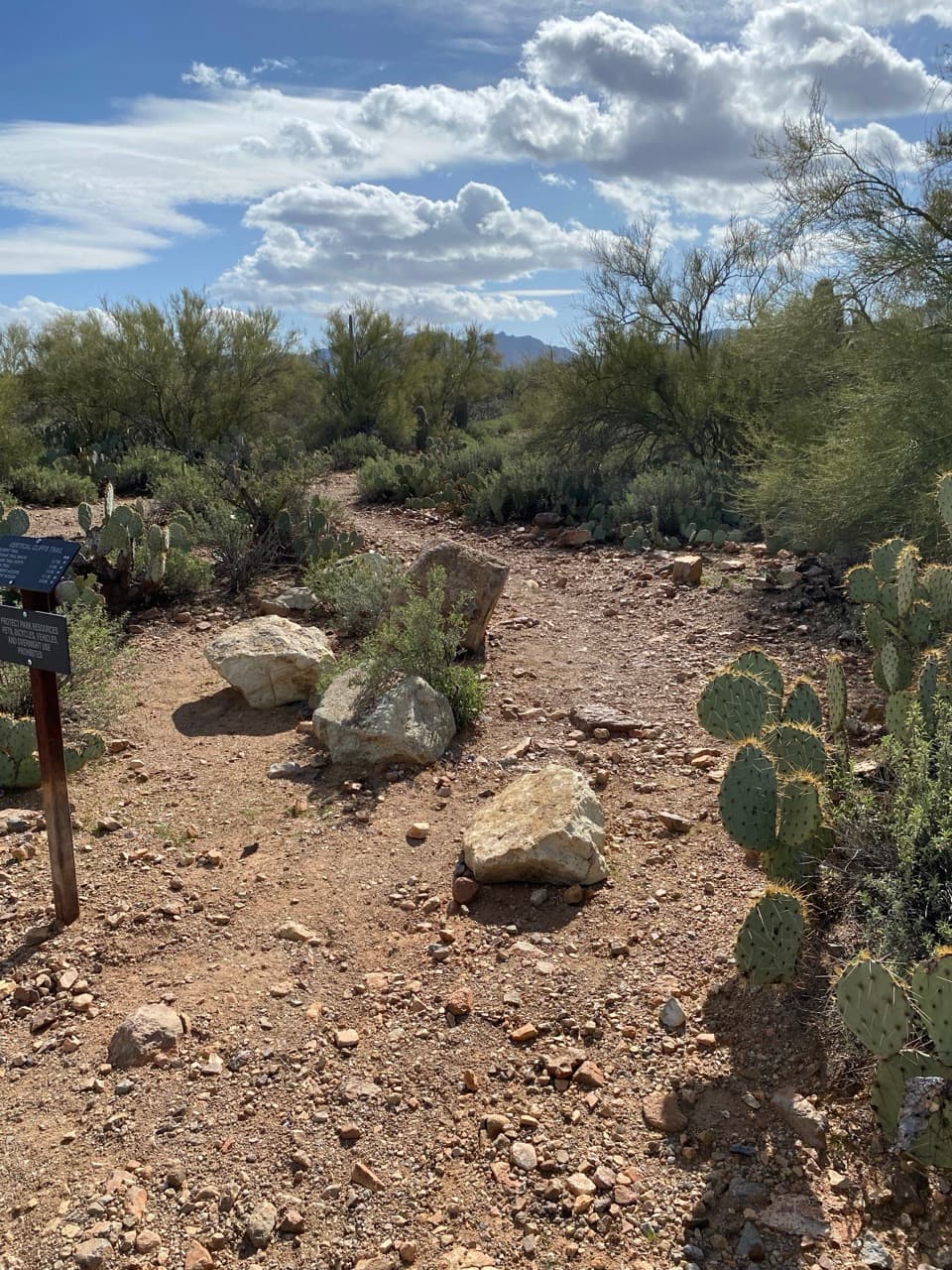 EasyVertical Cliffs Short Loop2.6 mi · 1.8 hr · 2 mi awayA short desert loop past rocky cliffs, cactus, and open views.
 ModeratePicture Rocks/Prophecy Wash Loop7.6 mi · 4.5 hr · 2.1 mi awayA longer desert circuit linking Cam-Boh, Ironwood, and two washes.
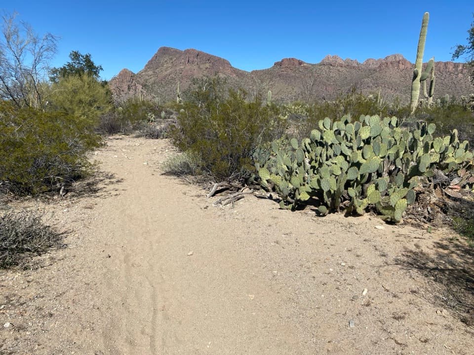 ModerateCam Boh Loop4 mi · 2 hr · 2.1 mi awayA sandy, stair-stepped loop through saguaro country.
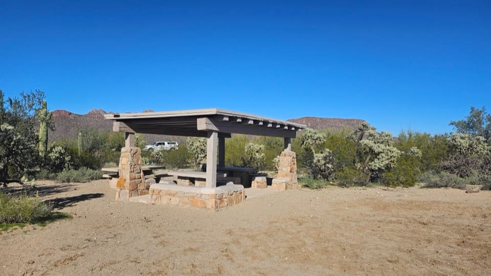 Picnic area · 2.1 mi awayCam-Boh Picnic AreaA shaded meal stop with Panther and Safford peaks to the north.
 Picnic area · 3.6 mi awaySendero Esperanza Picnic AreaA simple picnic stop at the end of Golden Gate Road
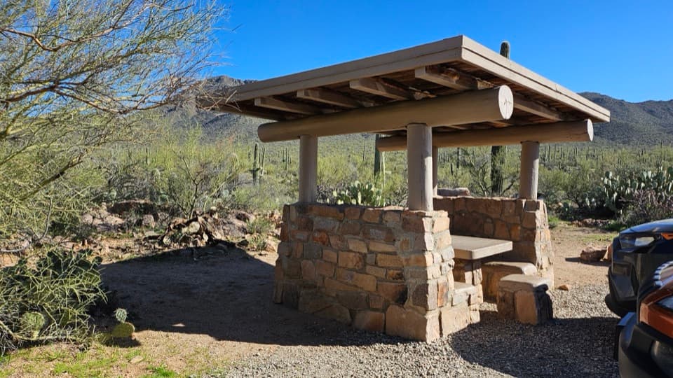 Picnic area · 3.7 mi awayEz-Kim-In-Zin Picnic AreaA stone shelter turns a desert picnic into a proper stop.
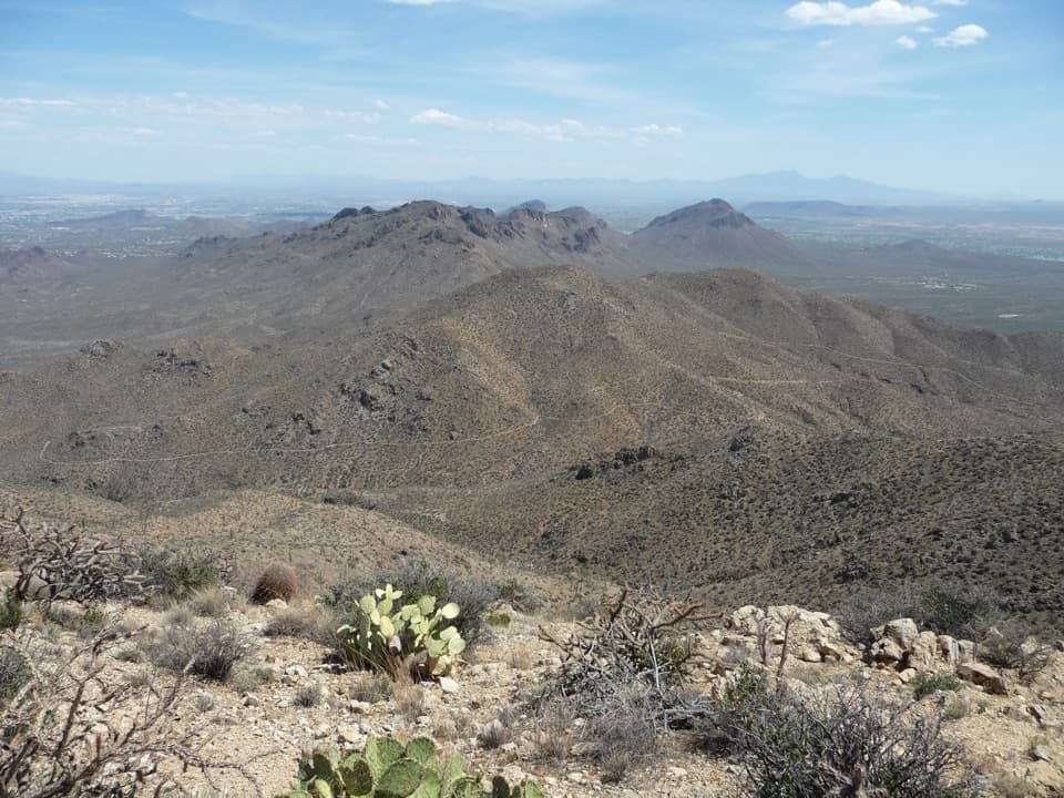 Sight · 3.9 mi awayWasson PeakA hard-earned summit puts Tucson and two mountain ranges in view.
 Picnic area · 5.2 mi awayMam-A-Gah Picnic AreaA covered picnic stop with desert views, nearly a mile uphill.
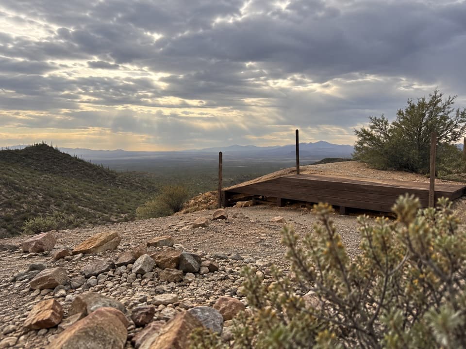 Sight · 5.2 mi awayGould MineCopper mine ruins reached by a desert hike.
 Sight · 5.3 mi awaySignal HillMore than 200 Hohokam petroglyphs on a short desert hill walk.
 Sight · 5.5 mi awayValley View OverlookA short cactus walk opens onto Avra Valley and its distant ridges.
Parkwolf’s Saguaro ranking

The audio tour guide for the drive, plus offline maps, trails, and wildlife heatmaps for when the signal drops.




