Parking
Use the Cam-Boh Picnic Area parking area off Picture Rocks Road. Parking serves cars and horse trailers/RVs; the number of spaces is not published.

Saguaro National Park, AZ
A longer desert circuit linking Cam-Boh, Ironwood, and two washes.
Overview
Map & elevation
Plan your hike

The highest, rockiest slopes around here are a summer buffet for grizzly bears.
Saguaro Tour Guide
Parkwolf is a GPS audio tour guide for Saguaro National Park. As you drive, it chimes in with what’s ahead: hidden gems, upcoming stops, history, geology, and wildlife, right through your car’s speakers.
See the Saguaro audio tourRecorded for this trailhead
Cam-Boh Picnic Area“You're coming up on Cam-Boh Picnic Area along Picture Rocks Road. Bring a picnic for the roofed shelter, with Panther and Safford peaks to the north and a grill if you want to cook.”
Plays as you drive up to this trailhead in the Parkwolf Saguaro Tour Guide.
More stories near here in the app
“Fantastic app with many points of information… It’s great to just turn on while you’re driving and it gives you an audio tour of the national Park. We love it!!!!”


Trail guide
Picture Rocks/Prophecy Wash Loop is a 7.6-mile circuit from Cam-Boh Picnic Area, linking Cam-Boh Trail, Ironwood Forest Trail, Picture Rocks Wash and Prophecy Wash. It is a half-day desert hike for people who want to connect several west-side routes into one outing; allow about four to five hours with breaks. This is the longer Cam-Boh circuit, separate from the shorter Picture Rocks Wash Loop.
From Cam-Boh, follow Cam-Boh Trail east to Ironwood Forest Trail, then turn south. The loop swings southwest onto Picture Rocks Wash and returns northwest on Prophecy Wash. It finishes by retracing the short Cam-Boh approach to the picnic area. The trail corridors meet at several junctions, so keep the full sequence available offline and check each turn rather than following the busiest-looking track.
At 7.6 miles, this is a substantial outing rather than a quick wash walk. The route map and terrain data support a rolling desert loop, but detailed information on grade, shade and footing by segment is limited; plan for uneven natural ground and do not count on a uniformly smooth path. The four-to-five-hour estimate allows a moderate walking pace and short stops.
Summer heat in the Tucson Mountains can reach dangerous levels, and shade along this route is not confirmed. Carry all the water you need for the full loop; a refill point at Cam-Boh or along the route is not confirmed. Picture Rocks and Prophecy washes are part of the circuit; avoid wash corridors when storms threaten because desert runoff can rise quickly.
Begin at Cam-Boh Picnic Area on Picture Rocks Road. The trailhead has auto and horse-trailer/RV parking, a restroom, picnic tables, a shelter and grills, so it works well for a meal before or after the hike. Parking capacity is not published, and no food vendor is confirmed at the trailhead.
Pets are not allowed on this loop under the park's usual trail rules; service animals may accompany visitors where they are permitted. Check current park access notices before setting out, since storm damage has recently closed some roads in the district.
Wildlife
 19 sightingsBlack BearMost seen around 6 AMSighting map
 56 sightingsMountain LionMost seen around 6 AMSighting map
 266 sightingsMule DeerMost seen around 6 PMSighting map
 113 sightingsCollared PeccaryMost seen around 6 PMSighting map
 53 sightingsBobcatMost seen around 6 AMSighting map
 127 sightingsCoyoteMost seen around 6 PMSighting map
Sighting maps show where each species has been reported across Saguaro. Wildlife moves, so no sighting is guaranteed.
Keep exploring
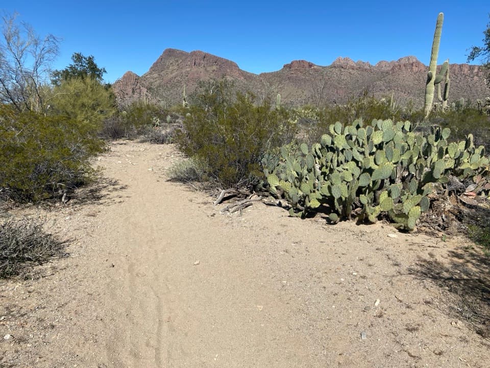 ModerateCam Boh Loop4 mi · 2 hr · 0.1 mi awayA sandy, stair-stepped loop through saguaro country.
 ModerateCam-Boh Trail2.7 mi · 1 hr · 0.1 mi awayA sandy start gives way to a rocky district connector.
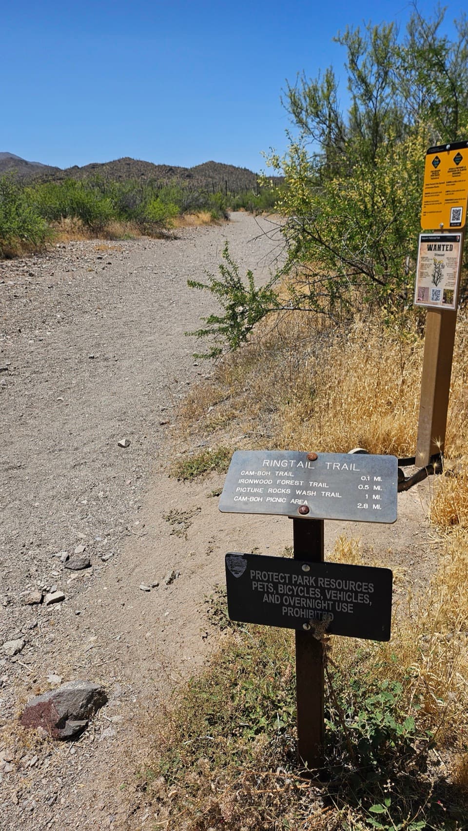 EasyRingtail Loop3.4 mi · 3 hr · 2.1 mi awayA varied cactus-country loop with one sandy wash to work through.
 ModeratePicture Rocks Wash Loop3.4 mi · 3 hr · 2.1 mi awayA 3.4-mile loop linking Ringtail, Picture Rocks Wash and Ironwood Forest
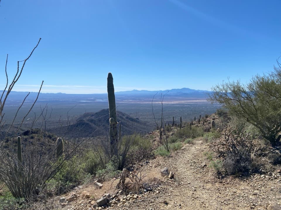 ModerateSendero Esperanza to the Ridgeline3.4 mi · 2 hr · 2.4 mi awayA sandy start gives way to switchbacks and wide valley views.
 ModerateEncinas Trail6.6 mi · 3.3 hr · 2.4 mi awayA CCC-era road across the desert, with a steady climb back.
 ModerateGolden Gate Multi-use Trail2.5 mi · 1.5 hr · 2.4 mi awayA wide gravel track links the Bajada Loop and Picture Rocks Road.
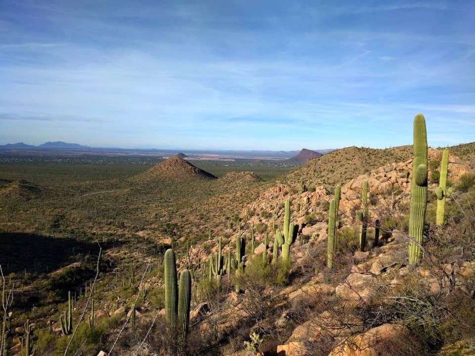 ChallengingSendero Esperanza Trail Big Loop8.5 mi · 5.5 hr · 2.5 mi awayAn 8.5-mile desert loop linking ridge views and sandy washes.
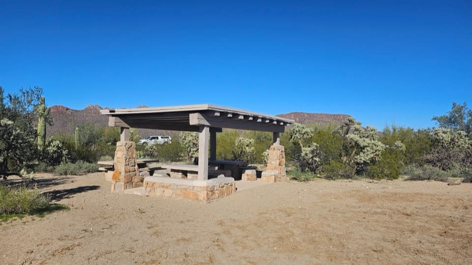 Picnic area · At the trailheadCam-Boh Picnic AreaA shaded meal stop with Panther and Safford peaks to the north.
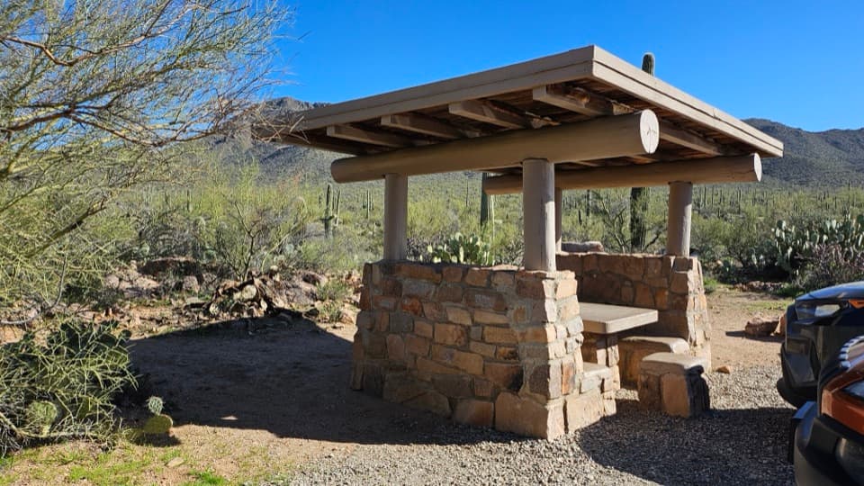 Picnic area · 2.4 mi awayEz-Kim-In-Zin Picnic AreaA stone shelter turns a desert picnic into a proper stop.
 Picnic area · 2.4 mi awaySendero Esperanza Picnic AreaA simple picnic stop at the end of Golden Gate Road
 Sight · 3.3 mi awaySignal HillMore than 200 Hohokam petroglyphs on a short desert hill walk.
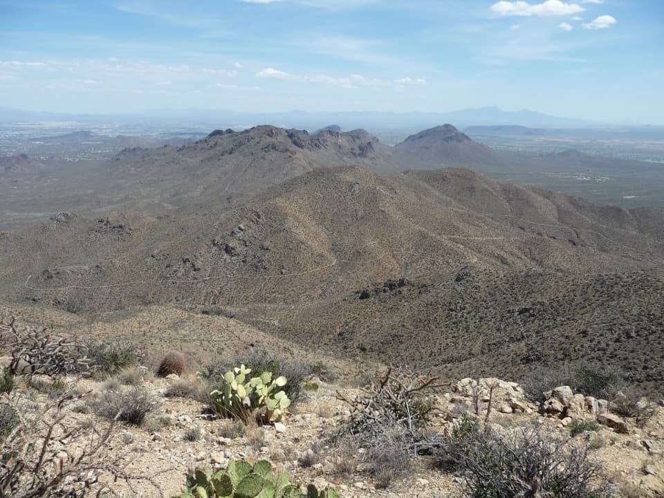 Sight · 3.4 mi awayWasson PeakA hard-earned summit puts Tucson and two mountain ranges in view.
 Sight · 3.7 mi awayValley View OverlookA short cactus walk opens onto Avra Valley and its distant ridges.
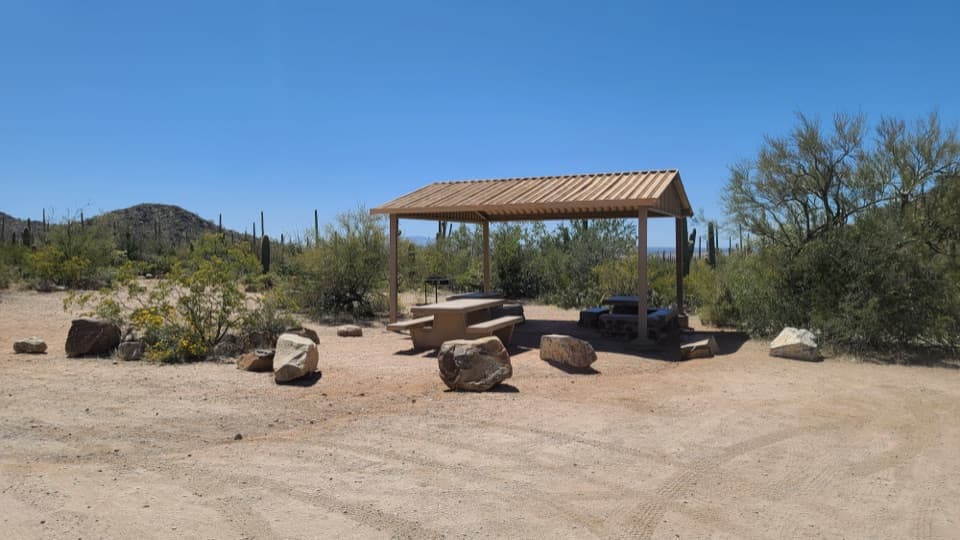 Picnic area · 4.2 mi awaySus Picnic AreaA shaded picnic stop with a little CCC history.
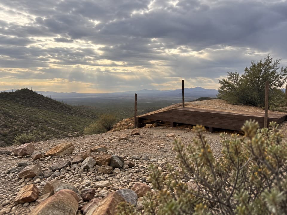 Sight · 4.3 mi awayGould MineCopper mine ruins reached by a desert hike.
Parkwolf’s Saguaro ranking

The audio tour guide for the drive, plus offline maps, trails, and wildlife heatmaps for when the signal drops.




