Parking
Begin at Ringtail Access Trailhead. Park on the broad roadside apron on either side of the road; capacity is not specified.
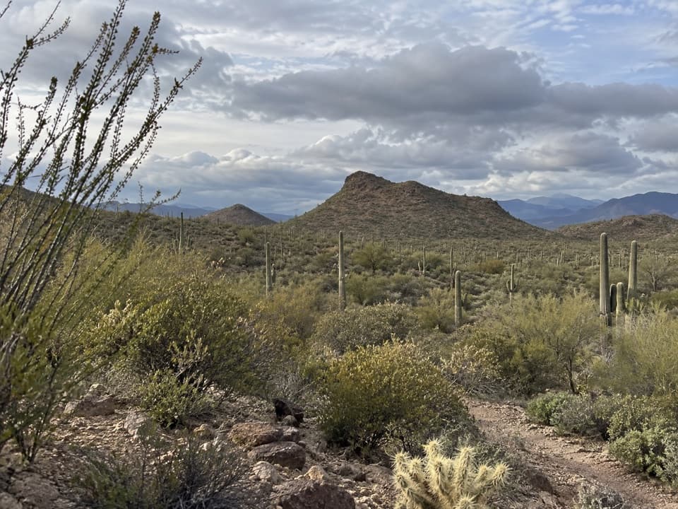
Saguaro National Park, AZ
A desert circuit links washes, saguaro slopes and Tucson Mountain views.
Overview
Map & elevation
Plan your hike

The highest, rockiest slopes around here are a summer buffet for grizzly bears.
Saguaro Tour Guide
Parkwolf is a GPS audio tour guide for Saguaro National Park. As you drive, it chimes in with what’s ahead: hidden gems, upcoming stops, history, geology, and wildlife, right through your car’s speakers.
See the Saguaro audio tourRecorded for this area
Box Canyon and Ringtail Loop“Box Canyon and Ringtail Trailhead is ahead, the start of a varied loop through cactus scrub, a sandy wash and a small rocky cut.”
Plays on the road 0.4 mi from the trailhead in the Parkwolf Saguaro Tour Guide.
More stories near here in the app
“Fantastic app with many points of information… It’s great to just turn on while you’re driving and it gives you an audio tour of the national Park. We love it!!!!”


Trail guide
Coyote Pass Loop is about a 6.5-mile desert circuit from Ringtail Access through Ringtail, Picture Rocks Wash, Cactus Canyon and Coyote Pass, then out through Ironwood Forest. Short Gila Monster and Cam-Boh connections complete the circuit. It suits a half-day walk for saguaros, low canyons and broad Tucson Mountain views rather than a single summit. Published route estimates range from 6 to 6.5 miles; the connected mapped line measures about 6.9, so allow around three hours and a little room for junction choices.
Several named paths meet in this larger trail network. Keep the full circuit line handy at junctions; the Coyote Pass segment by itself is not the loop. If 6.5 miles is more than you want, the Box Canyon access area also has loops around a mile long.
The route rolls through open desert hills and small canyons, with saguaros and Tucson Mountain ridges in view. The landscape opens up near Ringtail. March and April can bring yellow, purple, orange and pink wildflowers, though the display depends on the season. A small spiral petroglyph on a rock pile has been reported along the loop, but its location and cultural attribution are not established; it is not a reliable waypoint.
Start at Ringtail Access Trailhead. Parking uses a broad roadside apron on both sides of the road; no capacity figure is available. Hikers and horseback riders may use the route. Dogs are prohibited on park trails, and bicycles are not allowed on this hiking loop.
Wildlife
 19 sightingsBlack BearMost seen around 6 AMSighting map
 56 sightingsMountain LionMost seen around 6 AMSighting map
 266 sightingsMule DeerMost seen around 6 PMSighting map
 113 sightingsCollared PeccaryMost seen around 6 PMSighting map
 53 sightingsBobcatMost seen around 6 AMSighting map
 127 sightingsCoyoteMost seen around 6 PMSighting map
Sighting maps show where each species has been reported across Saguaro. Wildlife moves, so no sighting is guaranteed.
Keep exploring
 ModeratePicture Rocks Wash Loop3.4 mi · 3 hr · 0.4 mi awayA 3.4-mile loop linking Ringtail, Picture Rocks Wash and Ironwood Forest
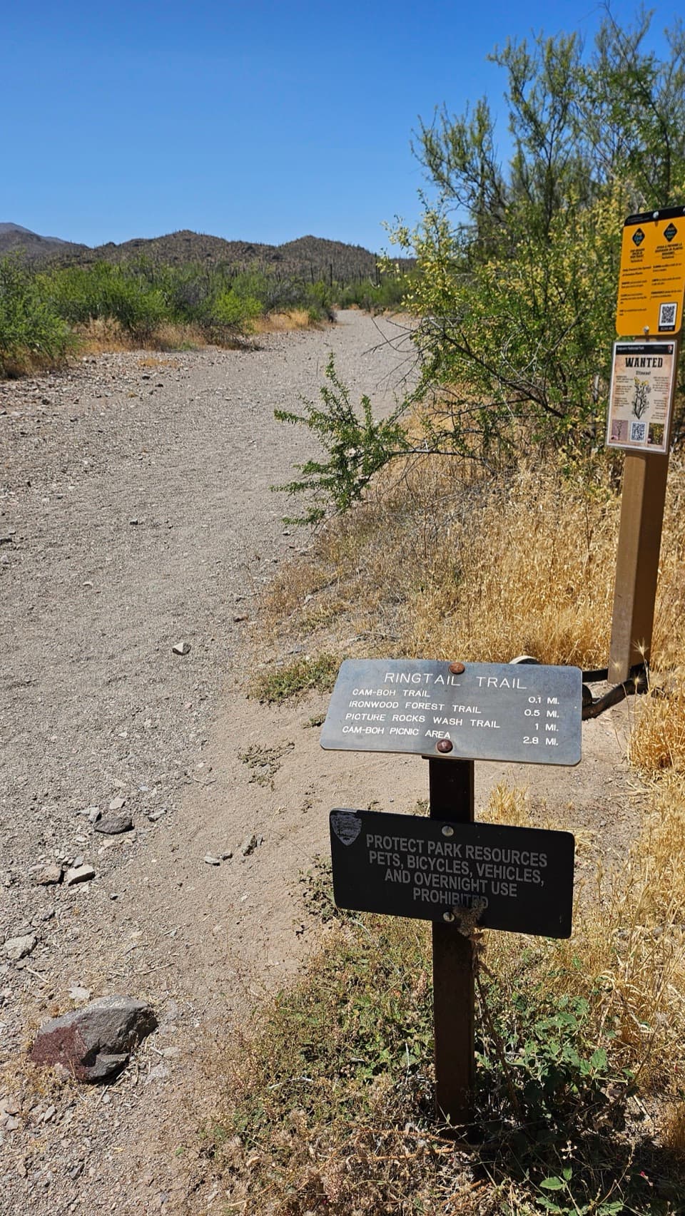 EasyRingtail Loop3.4 mi · 3 hr · 0.4 mi awayA varied cactus-country loop with one sandy wash to work through.
 EasyPassey Loop Trail1.5 mi · 1.5 hr · 1.5 mi awayEasy desert loop with rocky ground and views toward Safford Peak.
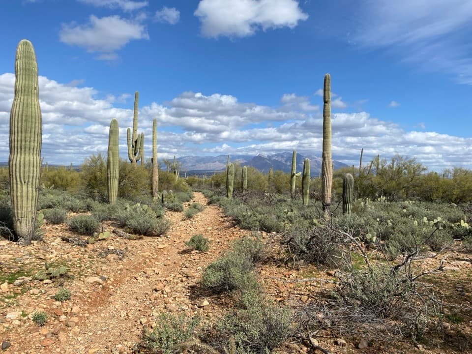 ModerateVertical Cliffs Long Loop3.9 mi · 2.3 hr · 1.7 mi awayA saguaro-lined circuit leads to an old windmill.
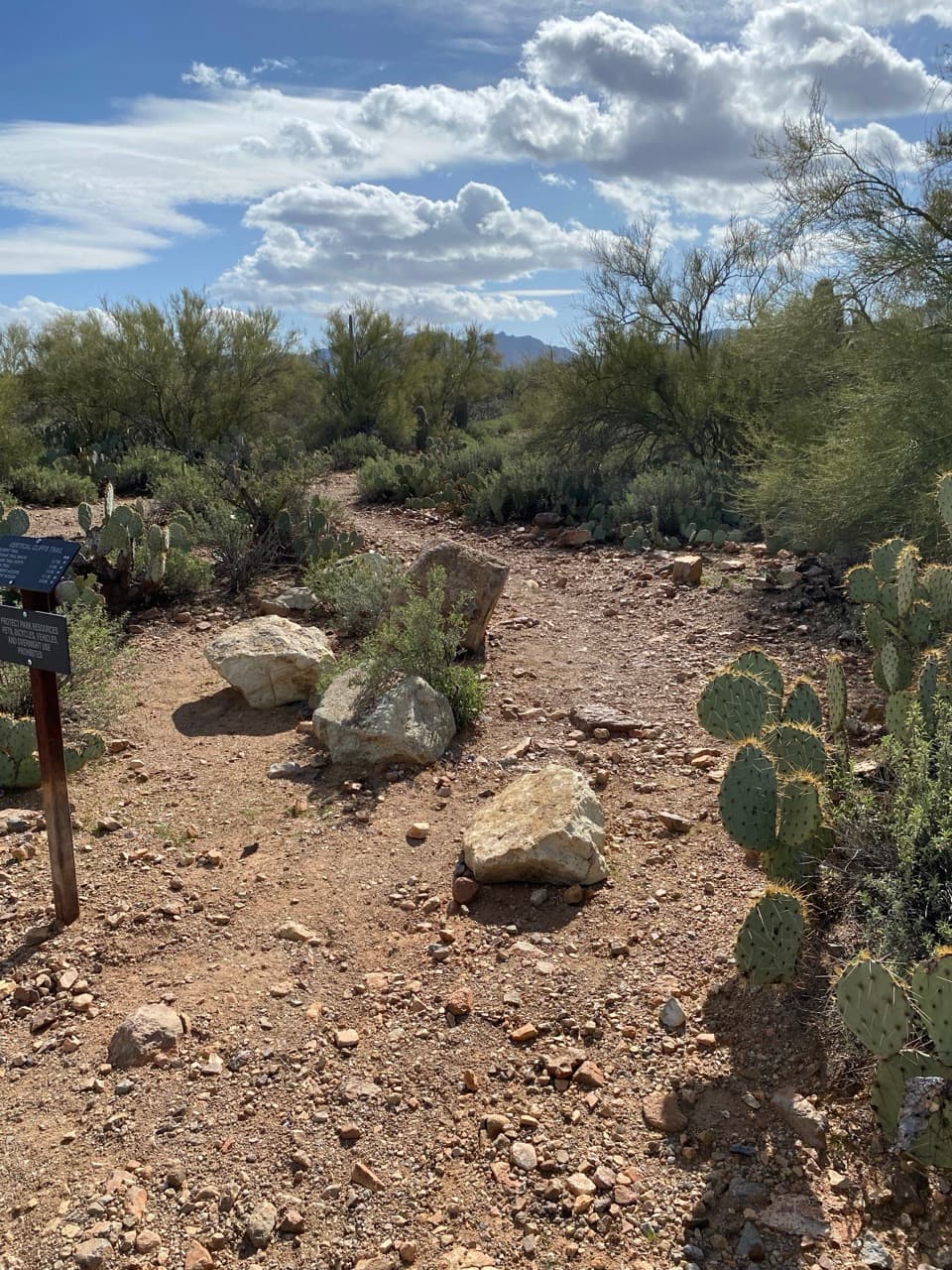 EasyVertical Cliffs Short Loop2.6 mi · 1.8 hr · 1.7 mi awayA short desert loop past rocky cliffs, cactus, and open views.
 EasyScenic/Passey/Packrat Loop1.7 mi · 1.3 hr · 1.8 mi awayA rocky cactus loop climbs to a view across Tucson’s north side.
 EasyAbington Short Loop2.4 mi · 1.5 hr · 2 mi awayA short cactus-country circuit strings together three named trails.
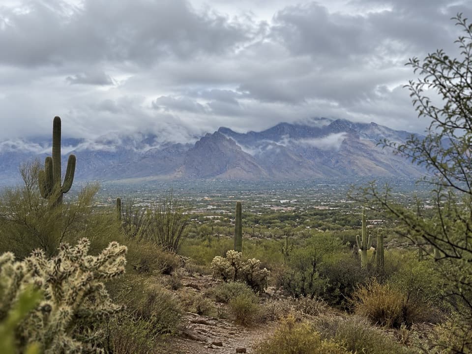 ModerateAbington Long Loop5.4 mi · 2.7 hr · 2.1 mi awayA longer desert loop linking Abington and Coyote Pass.
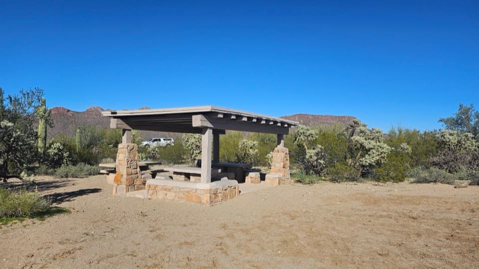 Picnic area · 2.5 mi awayCam-Boh Picnic AreaA shaded meal stop with Panther and Safford peaks to the north.
 Picnic area · 4 mi awaySendero Esperanza Picnic AreaA simple picnic stop at the end of Golden Gate Road
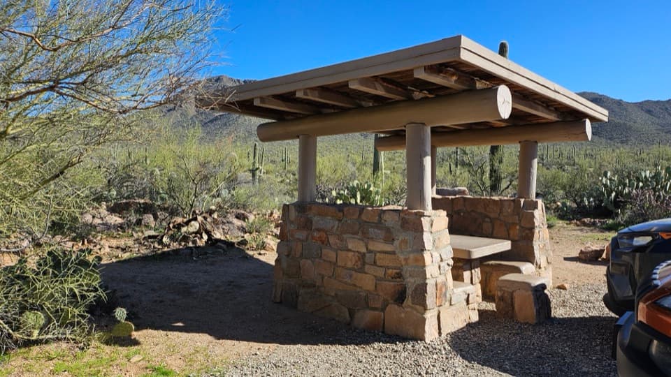 Picnic area · 4 mi awayEz-Kim-In-Zin Picnic AreaA stone shelter turns a desert picnic into a proper stop.
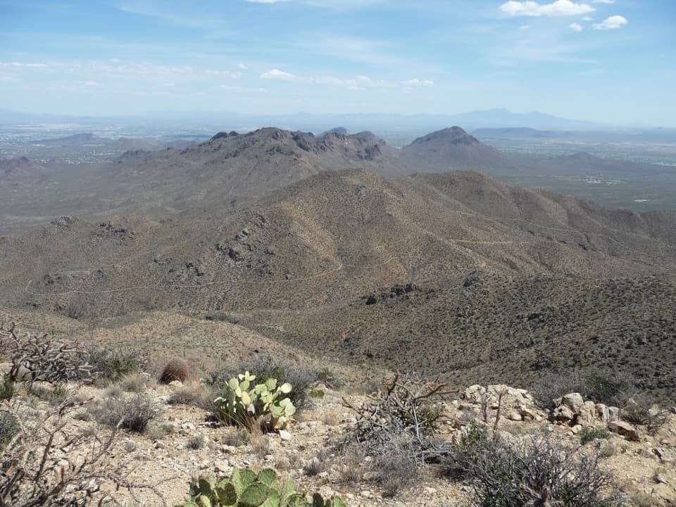 Sight · 4.1 mi awayWasson PeakA hard-earned summit puts Tucson and two mountain ranges in view.
 Picnic area · 5.4 mi awayMam-A-Gah Picnic AreaA covered picnic stop with desert views, nearly a mile uphill.
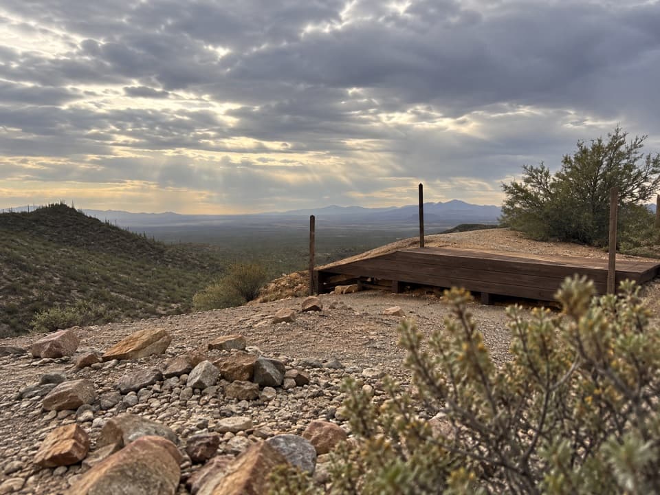 Sight · 5.5 mi awayGould MineCopper mine ruins reached by a desert hike.
 Sight · 5.6 mi awaySignal HillMore than 200 Hohokam petroglyphs on a short desert hill walk.
 Sight · 5.8 mi awayValley View OverlookA short cactus walk opens onto Avra Valley and its distant ridges.
Parkwolf’s Saguaro ranking

The audio tour guide for the drive, plus offline maps, trails, and wildlife heatmaps for when the signal drops.




