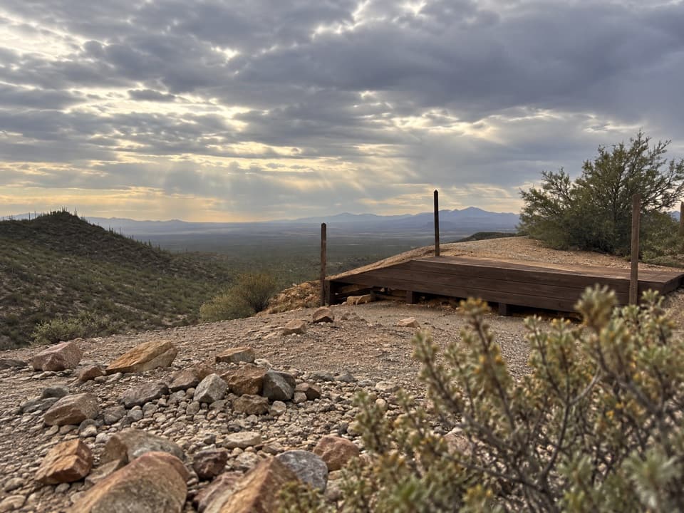
Passey Loop Trail in Saguaro National Park

Saguaro National Park, AZ

Passey Loop Trail

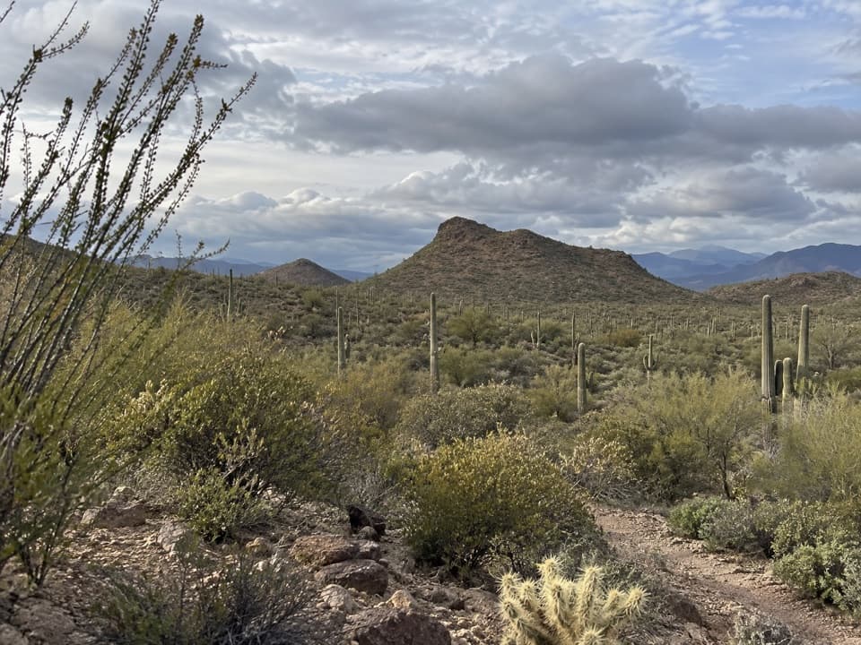
Easy desert loop with rocky ground and views toward Safford Peak.

Length
1.5mi
Time
1.5hr
Elev. change
66ft
Difficulty
Easy
  • Loop
  • No dogs
  • High point 2,264 ft

Hear the audio tour

Box Canyon and Ringtail Loop

Overview

About Passey Loop Trail

Why go

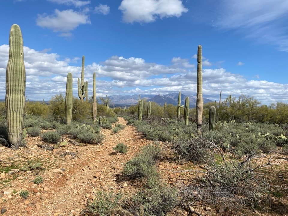
  • Mostly flat, easy walking through typical desert vegetation
  • Views toward Safford Peak

Heads up

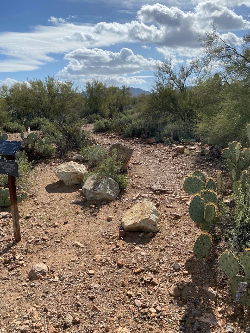
  • Rocky footing was reported; the A-10 entrance is a short fence-line walk from parking.

Map & elevation

The route

Loading the Saguaro map
Full map
Elevation2,198–2,264 ft
TrailheadA-10 Thelon Court Access Parking32.35046, -111.13117
Keep this map with you offline in the Parkwolf app

Plan your hike

Before you go

Parking

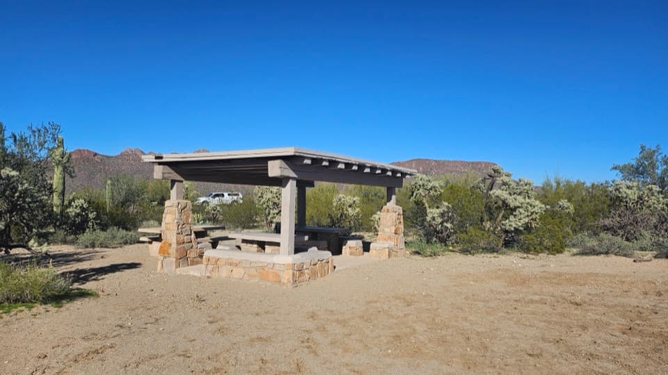
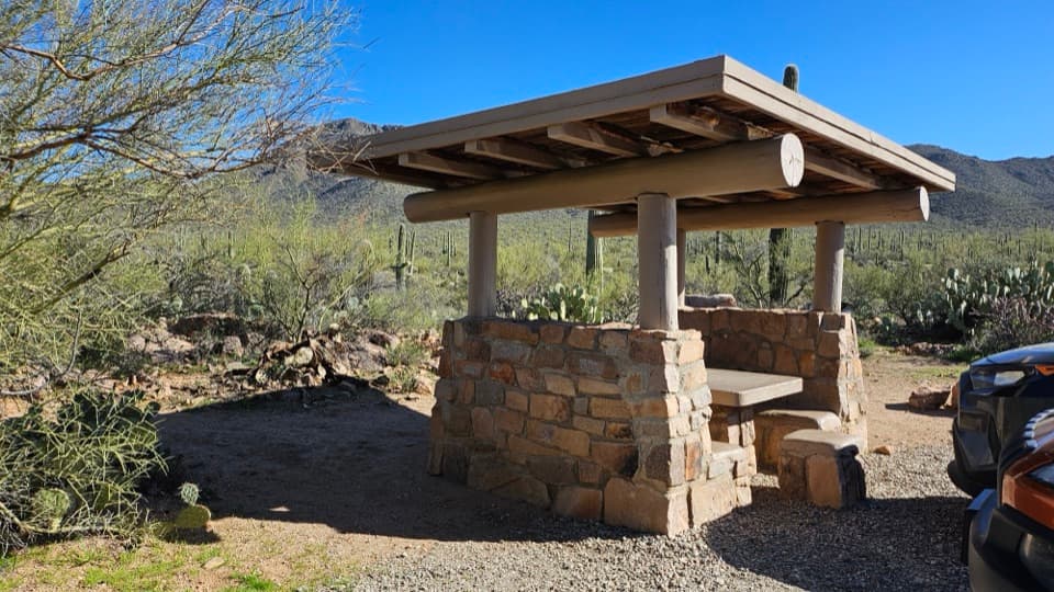
A-10 / Thelon Court: park along the railing at the end of Thelon Court without blocking driveways, then follow the park fence south about 415 feet to the access. Alternate A-9 / Sand Dune Place: park in the circle without blocking driveways and walk south from the large boulder along the fence.

Safety

Private property borders both sides of the route; stay on the trail. Carry water because none is available along the route. Pets are prohibited. In hot summer weather, hike early; the park warns hiking above 110°F can be dangerous.

3 active Saguaro alerts

  • ClosureTucson Mountain District road closuresSeveral Tucson Mountain District roads are closed; follow posted closures and use McCain Loop to bypass the Kinney Road closure.Official details
  • CautionVehicle break-ins reported at trailheadsVehicle break-ins have occurred at King Canyon Trailhead and other park trailheads; secure your vehicle and valuables.Official details
See all 3 alerts
A park ranger sits on a dash-mounted phone, talking, as Parkwolf’s Tour Guide plays “Army Cutworm Moths: A Grizzly Bear Buffet” on Grand Loop Road below Dunraven Pass in Yellowstone
Parkwolf Tour GuideThe highest, rockiest slopes around here are a summer buffet for grizzly bears.

Saguaro Tour Guide

Your drive to Passey Loop Trail, narrated.

Parkwolf is a GPS audio tour guide for Saguaro National Park. As you drive, it chimes in with what’s ahead: hidden gems, upcoming stops, history, geology, and wildlife, right through your car’s speakers.

See the Saguaro audio tour

Recorded for this area

Box Canyon and Ringtail Loop
0:00 / 0:23
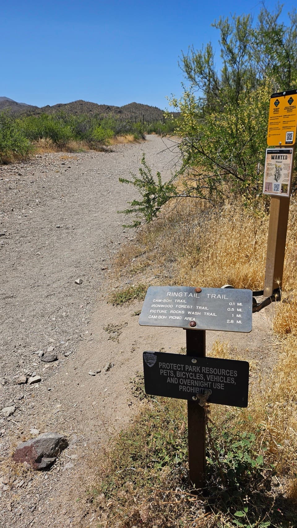
“Box Canyon and Ringtail Trailhead is ahead, the start of a varied loop through cactus scrub, a sandy wash and a small rocky cut.”

Plays on the road 1.6 mi from the trailhead in the Parkwolf Saguaro Tour Guide.

More stories near here in the app

  • The Tree That Works Without Leaves
  • Cam-Boh Picnic Area
  • The Smell of Desert Rain
  • El Camino del Cerro: Sweetwater to Wasson Peak
  • 43 audio storiesacross Saguaro’s roads, triggered by GPS as you drive
  • Wildlife heatmapsfor Black Bear, Mountain Lion, Mule Deer, and 13 more
  • Works offlinemaps, 74 trails, 40 places, and audio download before you lose signal
  • CarPlay readysimple controls built for the drive
★★★★★
“Fantastic app with many points of information… It’s great to just turn on while you’re driving and it gives you an audio tour of the national Park. We love it!!!!”
JMJamesApp Store review
Download Parkwolf on the App StoreGet Parkwolf on Google Play

4.7 from 8,600+ ratings

Trail guide

Hiking Passey Loop Trail

The routePassey Loop Trail is an easy, mostly flat loop through typical desert vegetation, with open…

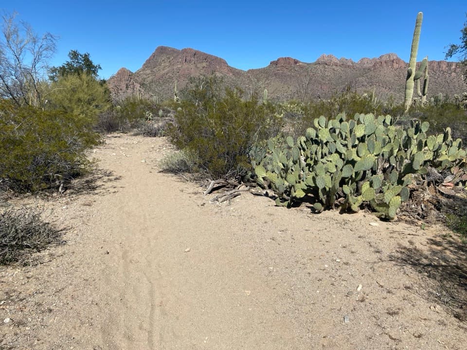
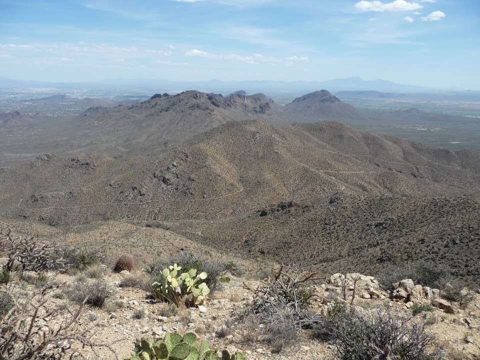
Passey Loop Trail is an easy, mostly flat loop through typical desert vegetation, with open views toward Safford Peak. This route starts at A-10 on Thelon Court and includes the short access walk from parking to the loop and back, for about 1.49 miles total. The park guide lists 1.6 miles from A-9 and gives no separate A-10 mileage, so treat both figures as approximate. The Scenic/Passey/Packrat Loop from A-8 is a different route.

Getting onto the trailAt the end of Thelon Court, park along the railing without blocking driveways.

At the end of Thelon Court, park along the railing without blocking driveways. Follow the park fence south about 415 feet to the access point. Private property borders both sides of the trail, so stay on the signed path. The neighborhood entrance can be subtle; use the park map and do not cut across nearby lots.

Footing and viewsThe park describes the trail as flat and easy, but one visitor noted rocky footing and trouble…

The park describes the trail as flat and easy, but one visitor noted rocky footing and trouble spotting the entrance at first. Expect a natural desert path rather than a paved walkway. Typical Sonoran desert scrub lines the route, with a view toward Safford Peak; no separate named overlook is established along this loop.

Heat, water and petsCarry water before setting out: park water is available only at visitor centers, not along this…

Carry water before setting out: park water is available only at visitor centers, not along this route. During hot summer months, start early and aim to be back at the trailhead by 10 a.m.; hiking above 110°F can be dangerous. Pets are not allowed on this unpaved trail. Allow roughly 1–2 hours at a relaxed pace.

Wildlife

Wildlife in Saguaro

All Saguaro wildlife maps

Sighting maps show where each species has been reported across Saguaro. Wildlife moves, so no sighting is guaranteed.

Keep exploring

Near Passey Loop Trail

See it all on the map

Trails that start nearby

Places near the trailhead

Parkwolf’s Saguaro ranking

Top-rated trails in Saguaro

All 74 trails
  1. 1Wasson Peak via King Canyon and Gould Mine LoopChallenging · 7.8 mi
  2. 2Hugh Norris Trail to Wasson PeakChallenging · 10 mi
  3. 3Bridal Wreath Falls TrailModerate · 5.9 mi
  4. 4King Canyon Trail to Wasson PeakModerate · 7 mi
  5. 5Valley View Overlook Nature TrailEasy · 0.8 mi
  6. 6Freeman Homestead TrailEasy · 1 mi

Take Parkwolf to Saguaro.

The audio tour guide for the drive, plus offline maps, trails, and wildlife heatmaps for when the signal drops.

4.7 from 8,600+ ratings

Download Parkwolf on the App StoreGet Parkwolf on Google Play