Parking
Use the northern Wildhorse Trailhead on East Speedway Boulevard, where Wildhorse meets Shantz. An older district map labels the lot for horse users; current hiker parking arrangements are not confirmed, so check with the park before arrival.
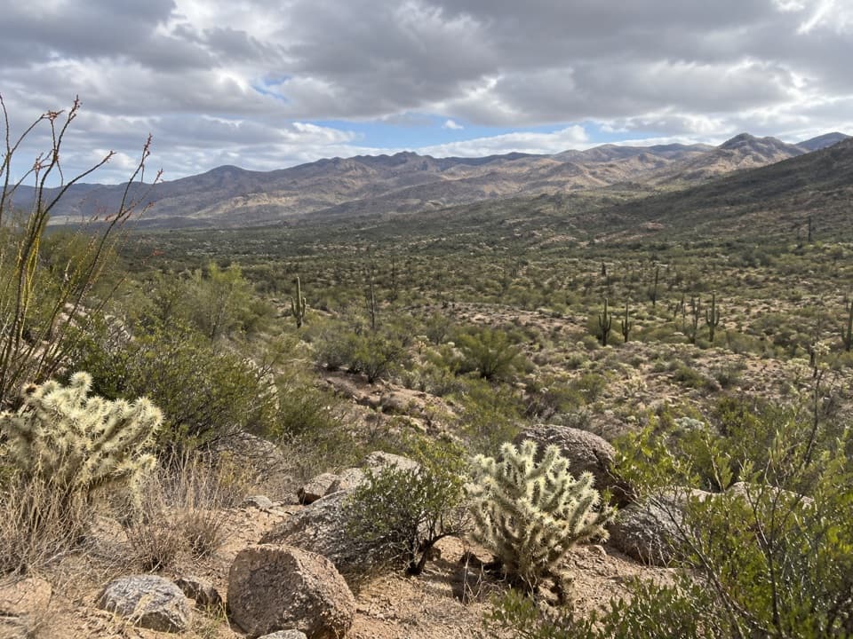
Saguaro National Park, AZ
A gentle bajada loop with a dose of ranching history.
Overview
Map & elevation
Plan your hike

The highest, rockiest slopes around here are a summer buffet for grizzly bears.
Saguaro Tour Guide
Parkwolf is a GPS audio tour guide for Saguaro National Park. As you drive, it chimes in with what’s ahead: hidden gems, upcoming stops, history, geology, and wildlife, right through your car’s speakers.
See the Saguaro audio tourRecorded for this trailhead
Douglas Spring and Wildhorse: The Falls Hike“You're nearing the Douglas Spring and Wildhorse trailheads near the end of Speedway Boulevard.”
Plays as you drive up to this trailhead in the Parkwolf Saguaro Tour Guide.
More stories near here in the app
“Fantastic app with many points of information… It’s great to just turn on while you’re driving and it gives you an audio tour of the national Park. We love it!!!!”


Trail guide
Freight Wagon Loop is a 3.5-mile circuit from the northern Wildhorse Trailhead in Saguaro’s Rincon Mountain District. The route estimate is about two hours with roughly 100 feet of climbing. It suits a half-day walk if you want a longer, low-relief desert circuit and the remains of the area’s ranching history; it is not a summit hike. The historic Freight Wagon connector aligns with the Garwood corridor shown in current mapping, so the turn names can differ from the older route description.
From Wildhorse, head south to the Freight Wagon/Garwood connector, then turn onto Carrillo. Continue through Deer Valley to Squeeze Pen, Kennedy and Shantz, which returns to the start. Several short junctions make a route map useful: the older names Wentworth and Freight Wagon are not used consistently on current maps. The route lines connect directly at each junction; keep to the full chain rather than taking a longer spur or the separate Garwood Dam hike. Carry water for this desert walk.
At the old Wentworth crossing, the historic route passes remains of a small airstrip used by the Garwood family until the late 1950s. The Squeeze Pen name recalls the corrals cowboys used to gather cattle for branding. Kennedy follows a county road built in the 1960s for a proposed housing development. Shantz honors Homer Shantz, a University of Arizona president who helped establish Saguaro National Park. The old trail names preserve a working-ranch landscape that is easy to miss in a short visit.
Start at the northern Wildhorse Trailhead on East Speedway Boulevard, where Shantz meets Wildhorse. An older district map labels the parking there for horse users; current park information confirms the hiking access but does not clarify hiker parking at that lot, so check before driving out. No food, water or restroom facilities at this trailhead were confirmed. Pets are not allowed on this route.
Wildlife
 19 sightingsBlack BearMost seen around 6 AMSighting map
 56 sightingsMountain LionMost seen around 6 AMSighting map
 266 sightingsMule DeerMost seen around 6 PMSighting map
 113 sightingsCollared PeccaryMost seen around 6 PMSighting map
 53 sightingsBobcatMost seen around 6 AMSighting map
 127 sightingsCoyoteMost seen around 6 PMSighting map
Sighting maps show where each species has been reported across Saguaro. Wildlife moves, so no sighting is guaranteed.
Keep exploring
 EasyShantz Trail4.8 mi · 2.5 hr · At the trailheadA long, gentle traverse beneath the Rincon foothills.
 ModerateWildhorse Trail to Little Wildhorse Tank4.4 mi · 2.3 hr · At the trailheadA rocky, sun-exposed out-and-back to Little Wildhorse Tank.
 ModerateBridal Wreath Falls Trail5.9 mi · 3.5 hr · 0.2 mi awayFollow a rugged desert path to a seasonal waterfall in the Rincons.
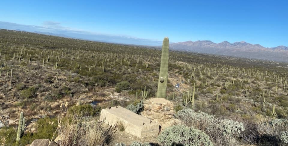 ModerateGarwood Dam and Wildhorse Tank Loop6.4 mi · 4.5 hr · 0.2 mi awayA ranch dam, cactus forest, and a rare desert water tank.
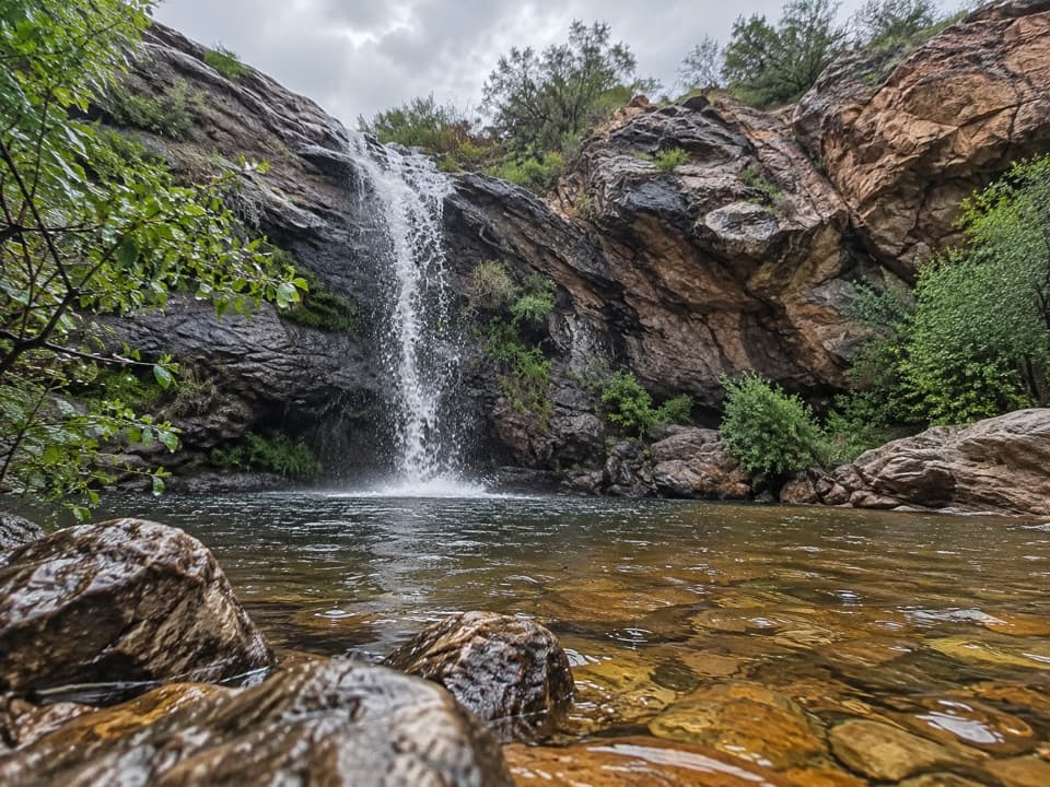 ModerateBridal Wreath Falls and Little Wildhorse Tank Loop8.3 mi · 5 hr · 0.2 mi awayA falls alcove and seasonal tanks reward a long foothills loop.ModerateGarwood Dam Trail3.8 mi · 2.5 hr · 0.2 mi awayA historic dam rewards a rough wash-crossing through cactus forest.
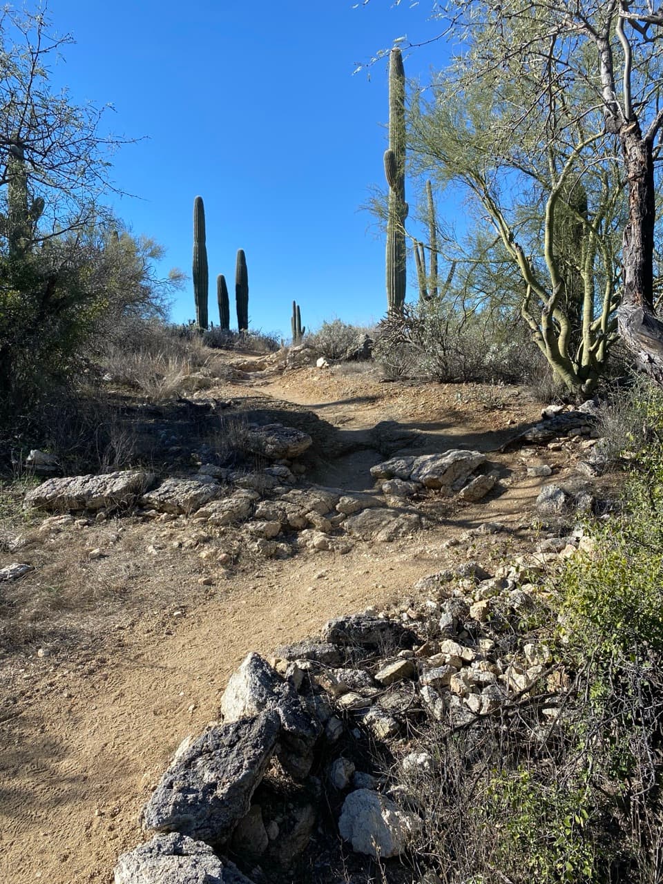 ChallengingDouglas Spring Trail to Douglas Spring Campground13 mi · 7.5 hr · 0.2 mi awayA long desert climb to a shaded backcountry camp.
 ChallengingMica Mountain via Douglas Spring26 mi · 14 hr · 0.2 mi awayA long climb from cactus desert to Mica Mountain’s forested summit.
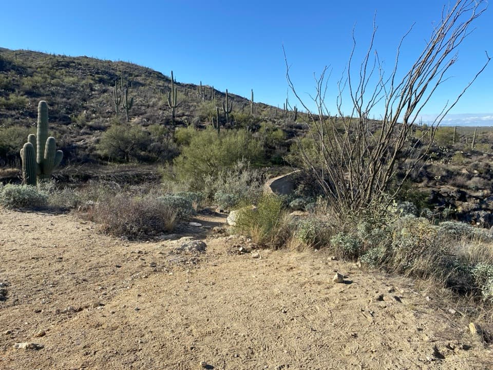 Sight · 1.5 mi awayGarwood DamA homestead-era dam tucked into the cactus forest
 Sight · 1.8 mi awayLittle Wildhorse TankA desert pool with a decades-long recovery story.
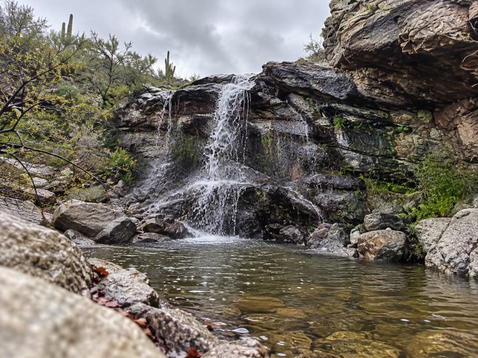 Sight · 2.4 mi awayBridal Wreath FallsA desert hike to a waterfall that may be dry.
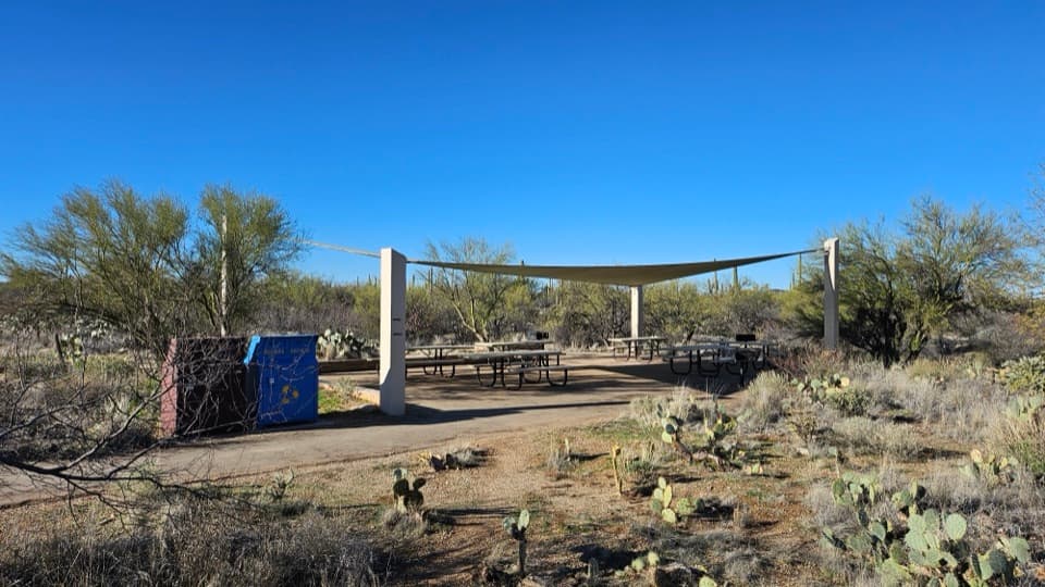 Picnic area · 2.6 mi awayMica View Picnic AreaA shaded picnic stop with an accessible desert stroll.
 Scenic pullout · 2.8 mi awayRiparian OverlookA quick pullout for Saguaro East’s wide cactus-forest views.
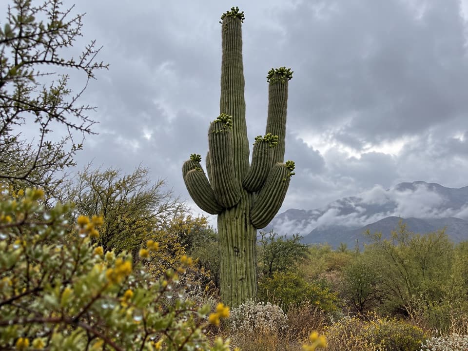 Scenic pullout · 3.7 mi awayCactus Forest OverlookSaguaro views and a surprisingly long recovery story.
 Sight · 3.7 mi awayRincon Mountains OverlookA roadside panorama over the Cactus Forest toward the Rincon Mountains.
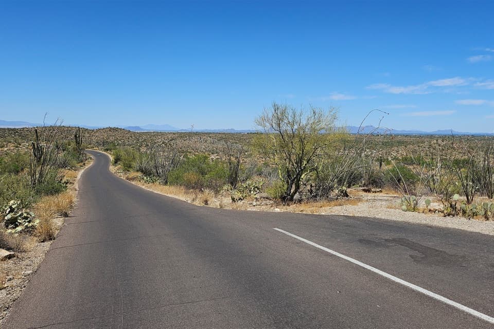 Scenic pullout · 3.8 mi awayCactus Forest Sunset PulloutA small sunset stop between Rincon Mountain Overlook and Javelina Rocks.
Parkwolf’s Saguaro ranking

The audio tour guide for the drive, plus offline maps, trails, and wildlife heatmaps for when the signal drops.


