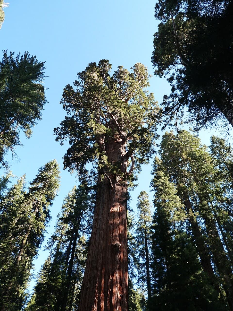
Lodgepole–Sherman Tree Trail in Sequoia National Park

Sequoia National Park, CA

Lodgepole–Sherman Tree Trail

A 2.8-mile walk through sequoias to General Sherman Tree.

Photo: Wikimedia Commons
Length
2.8mi
Time
3.5hr
Elev. change
377ft
Difficulty
Moderate
  • No dogs
  • High point 7,123 ft
  • #45 of 99 in Sequoia

Hear the audio tour

Lodgepole and Tokopah Falls

Overview

About Lodgepole–Sherman Tree Trail

Why go

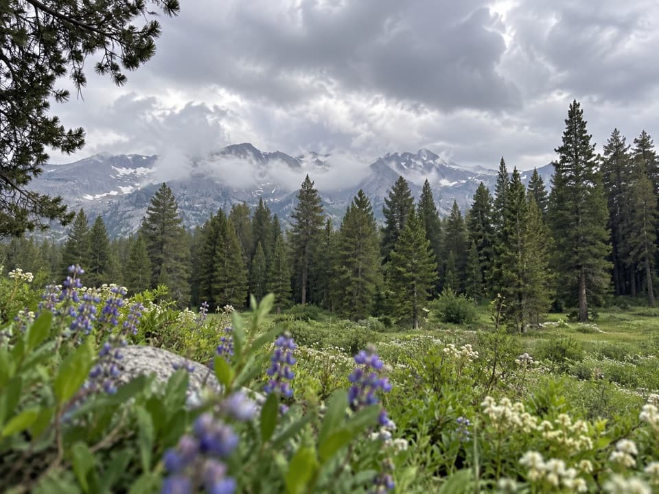
  • Walk from Lodgepole through white fir forest and into the sequoia grove before reaching General Sherman.
  • The point-to-point route links Lodgepole Campground with the tree.

Heads up

  • You finish away from the start, so the return ride needs planning.
  • Uneven, rocky tread and rolling climbs make this more work than a simple downhill walk.

Map & elevation

The route

Loading the Sequoia map
Full map
Elevation6,745–7,123 ft
TrailheadLodgepole Campground Trailhead36.60451, -118.72605
Keep this map with you offline in the Parkwolf app

Plan your hike

Before you go

Parking

Start at the Lodgepole Campground Trailhead. Use the large paved overflow lot just beyond the campground entrance kiosk; accessible spaces are near the restrooms. Campground guests can walk from their site. Plan a seasonal shuttle or ride from the tree back to Lodgepole.

Safety

The unpaved tread is uneven and rocky. The route gains roughly 600 feet over 2.8 miles and reaches above 7,100 feet; expect some climbing at altitude. Outside shuttle service, walking back makes this a 5.6-mile outing. Pets are not allowed on park trails.

8 active Sequoia alerts

  • CautionStage 1 fire restrictionsStage 1 fire restrictions are in effect due to high fire danger and catastrophic-wildfire risk; the restrictions reduce the possibility of accidental human-caused fires that could threaten visitors…Official details
  • ClosureGrant Grove trails and areas closed for prescribed burnSome trails and areas around Grant Grove and the General Grant Tree are closed for safety during a prescribed burn and until they are cleared of hazards.Official details
See all 8 alerts
A park ranger sits on a dash-mounted phone, talking, as Parkwolf’s Tour Guide plays “Army Cutworm Moths: A Grizzly Bear Buffet” on Grand Loop Road below Dunraven Pass in Yellowstone
Parkwolf Tour GuideThe highest, rockiest slopes around here are a summer buffet for grizzly bears.

Sequoia Tour Guide

Your drive to Lodgepole–Sherman Tree Trail, narrated.

Parkwolf is a GPS audio tour guide for Sequoia National Park. As you drive, it chimes in with what’s ahead: hidden gems, upcoming stops, history, geology, and wildlife, right through your car’s speakers.

See the Sequoia audio tour

Recorded for this area

Lodgepole and Tokopah Falls
0:00 / 0:28
“Lodgepole is coming up, where the trail to Tokopah Falls follows the river into a glacier-carved granite canyon.”

Plays on the road 0.2 mi from the trailhead in the Parkwolf Sequoia Tour Guide.

More stories near here in the app

  • Lodgepole Village
  • Wolverton Meadow and Lakes Trail
  • The Red Plant Without Chlorophyll
  • Wuksachi Lodge
  • 71 audio storiesacross Sequoia’s roads, triggered by GPS as you drive
  • Wildlife heatmapsfor Black Bear, Mountain Lion, Bobcat, and 13 more
  • Works offlinemaps, 99 trails, 68 places, and audio download before you lose signal
  • CarPlay readysimple controls built for the drive
★★★★★
“…The kids and my husband and I all agree that the narration really added to our experience driving through the parks. We learned so much about the history and the flora & fauna.”
JessestblondeApp Store review
Download Parkwolf on the App StoreGet Parkwolf on Google Play

4.7 from 8,600+ ratings

Trail guide

Hiking Lodgepole–Sherman Tree Trail

A longer way to General Sherman TreeThe Lodgepole–Sherman Tree Trail is a 2.

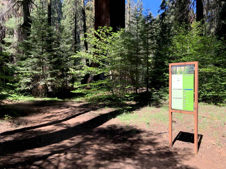
The Lodgepole–Sherman Tree Trail is a 2.8-mile point-to-point walk from Lodgepole Campground to General Sherman Tree. It passes from white fir forest into the Giant Forest sequoia grove, then joins the main Sherman Tree Trail about halfway down. Allow 2 to 5 hours. If the tree is your only goal, the short trail from the Wolverton Road parking area is a much more direct choice. Pets aren't allowed on park trails.

The route rises and fallsThe tread is unpaved dirt, uneven and rocky.

The tread is unpaved dirt, uneven and rocky. This isn't a steady downhill stroll: the route climbs to a little over 7,100 feet, drops, then climbs again toward the tree. Its sampled profile gains roughly 600 feet and finishes about 250 feet above the Lodgepole start, so expect some work at around 7,000 feet.

The giant at the endGeneral Sherman is about 275 feet tall and more than 36 feet across at the base.

General Sherman is about 275 feet tall and more than 36 feet across at the base. It's the world's largest tree, and it makes a memorable finish after the forest walk. The route reaches it from the Lodgepole side; the other well-known approach starts at the main lot off Wolverton Road.

Plan the returnStart at the large paved overflow lot just beyond the Lodgepole Campground entrance kiosk, or…

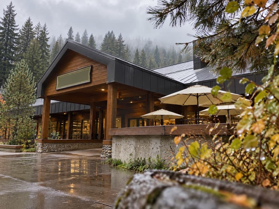
Start at the large paved overflow lot just beyond the Lodgepole Campground entrance kiosk, or walk over from a campsite. The park shuttle usually connects the tree and Lodgepole in summer, with occasional winter-holiday service; check the current schedule before counting on a ride. Without a shuttle or another pickup, walking back makes the outing 5.6 miles. Lodgepole Market is next to the campground and operates seasonally, May through October. The nearby Grill serves burgers, sandwiches, salads, and snacks; both are separate from the walk.

Wildlife

Wildlife in Sequoia

All Sequoia wildlife maps

Sighting maps show where each species has been reported across Sequoia. Wildlife moves, so no sighting is guaranteed.

Keep exploring

Near Lodgepole–Sherman Tree Trail

See it all on the map

Trails that start nearby

Places near the trailhead

Parkwolf’s Sequoia ranking

Top-rated trails in Sequoia

All 99 trails
  1. 1Congress TrailEasy · 2.7 mi
  2. 2General Sherman Tree TrailModerate · 1 mi
  3. 3Moro Rock TrailModerate · 0.5 mi
  4. 4High Sierra TrailChallenging · 48.9 mi
  5. 5Mount Whitney TrailChallenging · 22 mi
  6. 6Lakes Trail to Pear LakeChallenging · 12.8 mi

Take Parkwolf to Sequoia.

The audio tour guide for the drive, plus offline maps, trails, and wildlife heatmaps for when the signal drops.

4.7 from 8,600+ ratings

Download Parkwolf on the App StoreGet Parkwolf on Google Play